Trail Overview
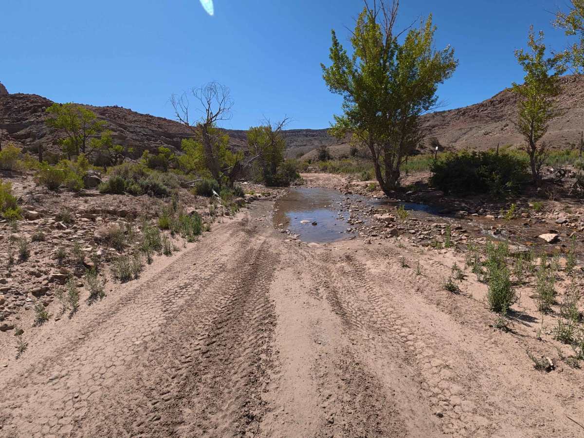
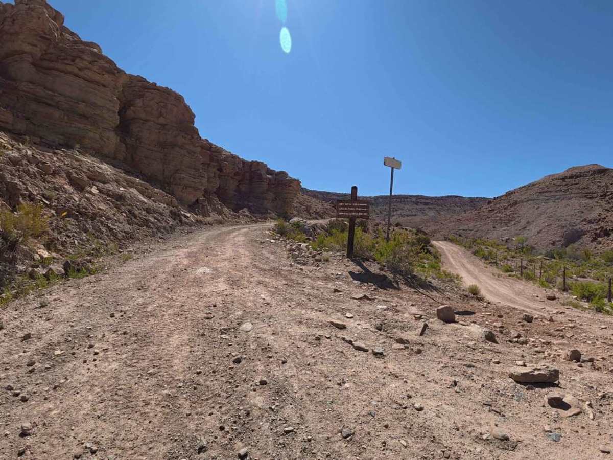
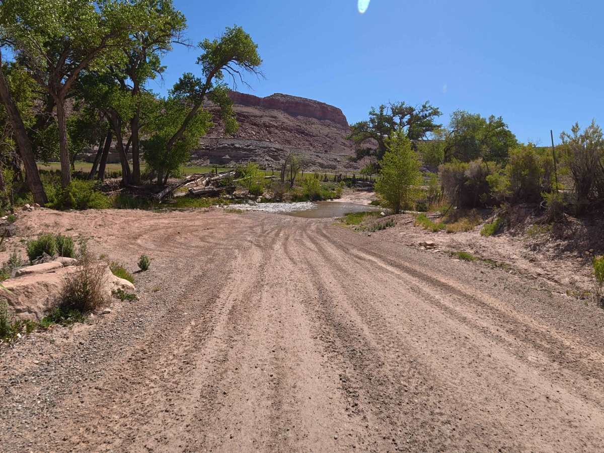
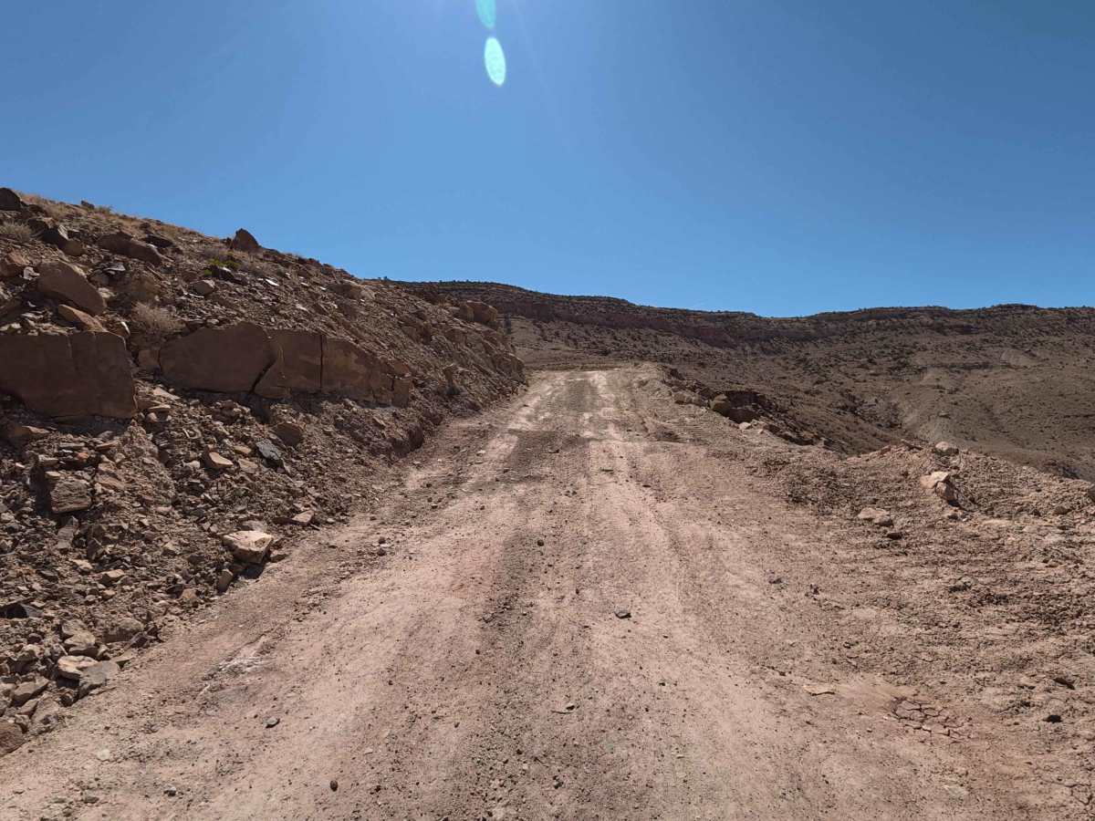
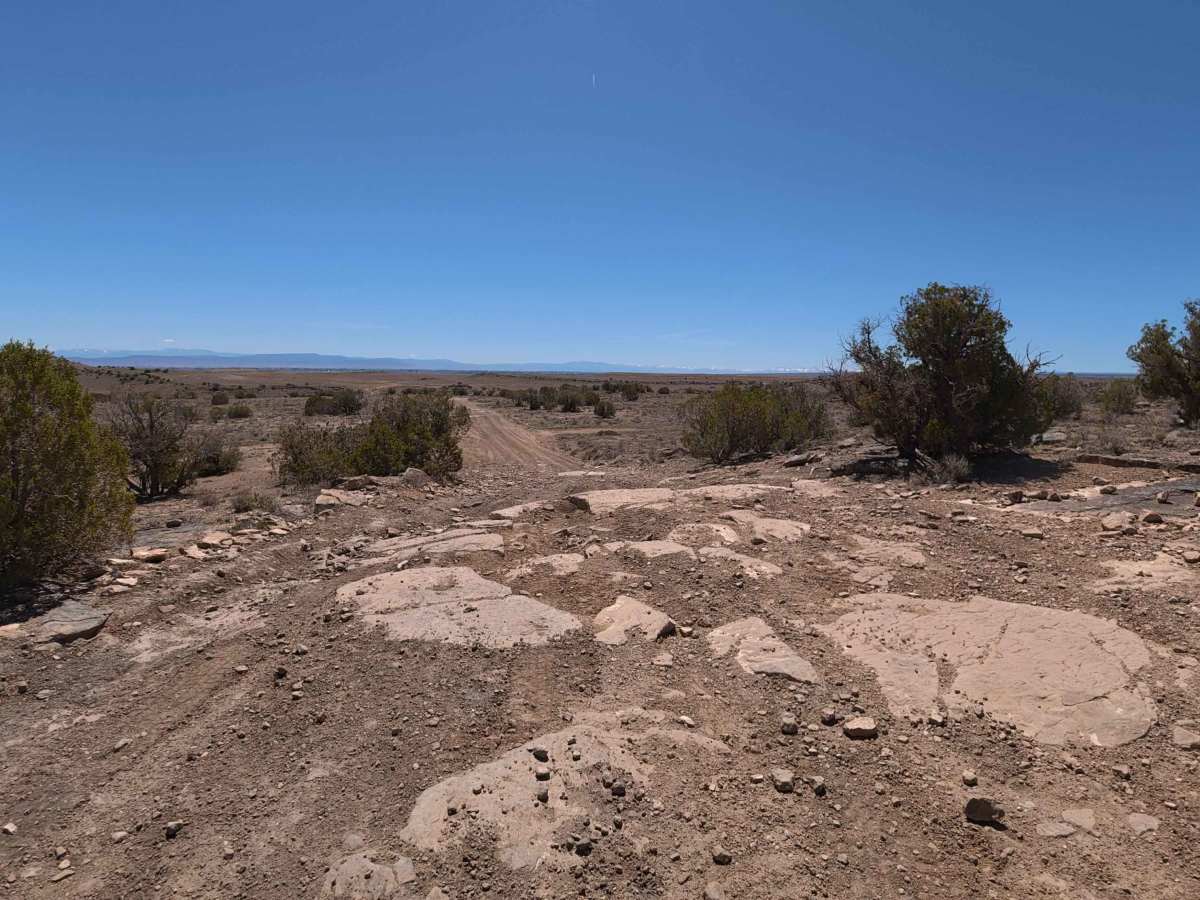
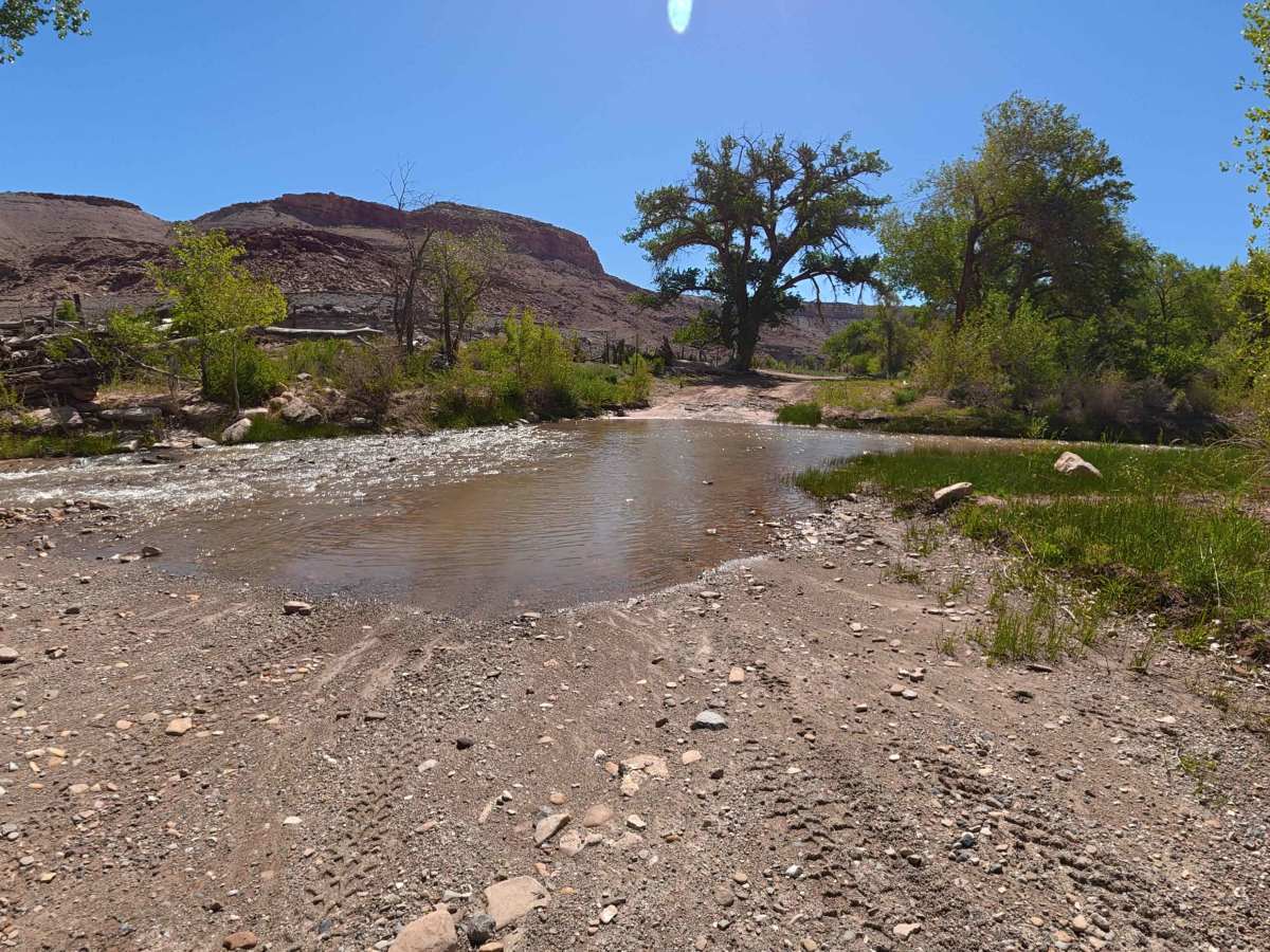
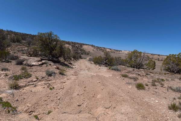
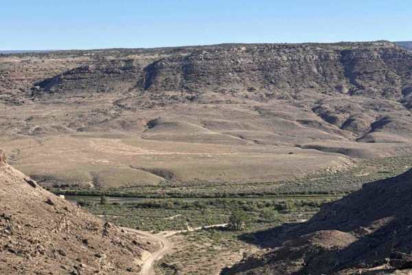
Branching directly off the main Escalante Canyon route, Dry Mesa Road is an incredibly scenic, highly demanding 11.0-mile backcountry adventure that quickly separates casual drivers from serious off-roaders. This deeply immersive, technical trail kicks off almost immediately with a beautiful flowing water crossing—measuring roughly 6 inches deep at the time of mapping—setting the tone for multiple creek crossings encountered throughout the transit. The spectacularly vibrant route gracefully winds alongside a flowing river, flanked by towering red canyon walls, dense, lush greenery, and massive mature trees. Early in the journey, explorers can utilize a convenient dirt pullout to access a remarkable, must-see collection of historic pictographs. As travelers continue, they will pass strict no-shooting notices, designated camping-only areas, and a manual cattle gate at the 1.5-mile mark that must be securely closed behind passing vehicles. At approximately 2.9 miles, a scenic turnout offers direct, tranquil access to the creek. Beyond this point, the trail's character changes dramatically, aggressively transitioning from a meandering, rutted dirt path into a remarkably rugged, high-consequence technical climb. Drivers must carefully negotiate narrow shelf-road conditions, uncomfortably tight switchbacks (passable by trucks up to F-250 size), fallen rock hazards, and steep, uneven rocky inclines. Deeply rewarding those who conquer the ascent, several incredible, highly isolated, dispersed campsites offering sweeping, panoramic valley views are perfectly positioned around the 5.5-mile mark, accommodating 1–3 vehicles each. The final miles eventually smooth out before officially terminating near the National Forest boundary, where visitors will discover additional shaded camping opportunities and seamless connections to extended trail systems.
Difficulty
Dry Mesa Road confidently earns a solid Level 4 technical rating, serving as a serious challenge strictly recommended for properly equipped, high-clearance 4x4 vehicles. While the lower valley section features persistent 5–8-inch-deep dirt ruts and multiple flowing creek crossings, the trail's true difficulty erupts after the 2.9-mile mark. The route aggressively pitches upward into steep, relentless rocky climbs riddled with jagged 5–10-inch obstacles. Successfully conquering this punishing upper segment absolutely requires low-range gearing, a locked center differential, and highly precise tire placement. Furthermore, drivers must possess advanced off-road capability to safely navigate the intensely narrow shelf roads, tight switchbacks, and one particularly intimidating, heavily exposed cliffside obstacle that demands roughly 16 inches of ground clearance to clear without sustaining severe undercarriage damage.