Trail Overview
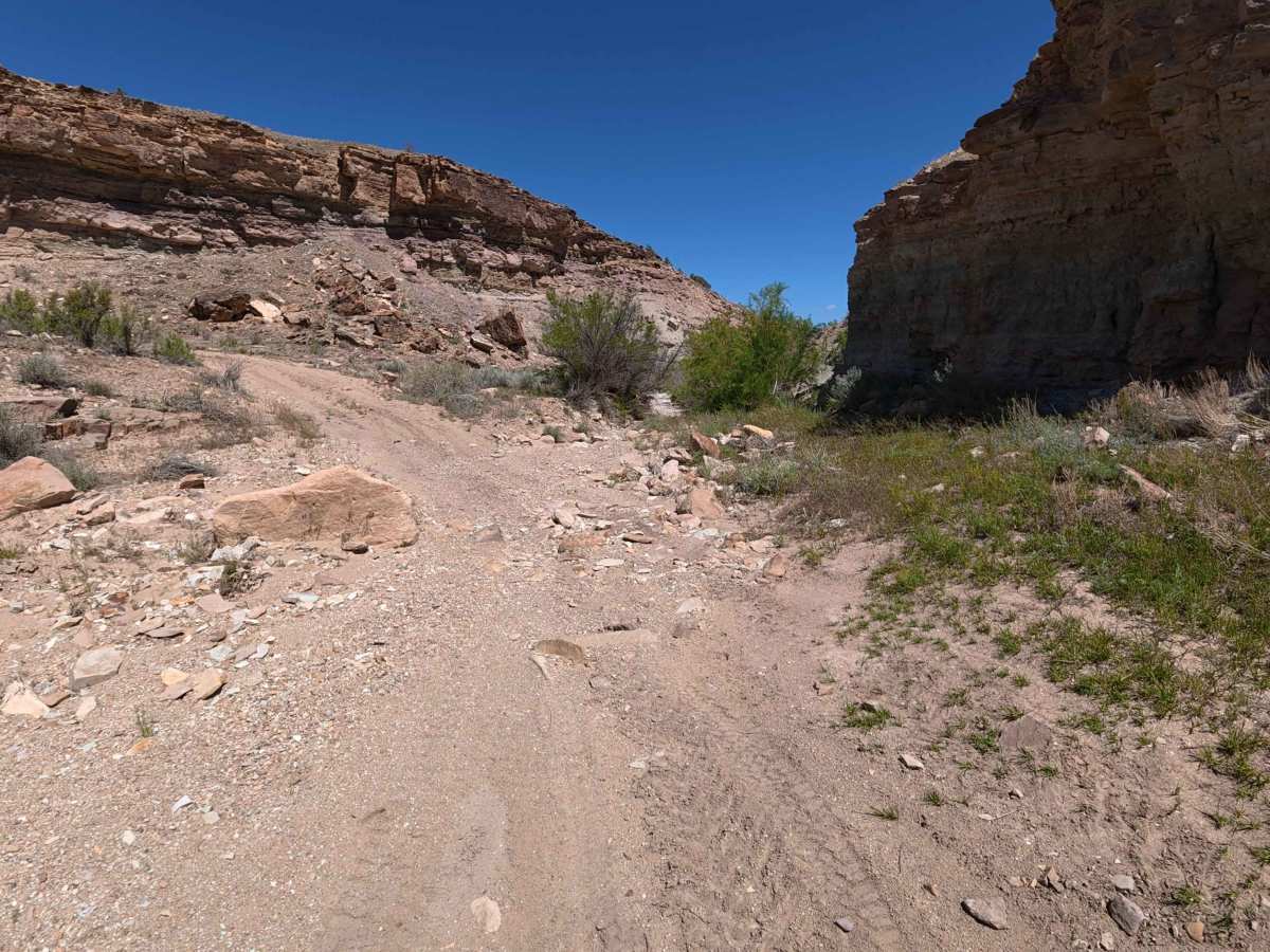
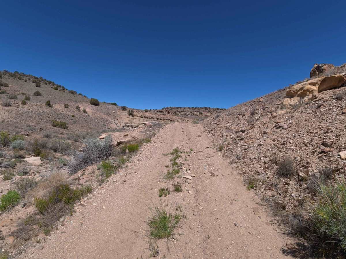
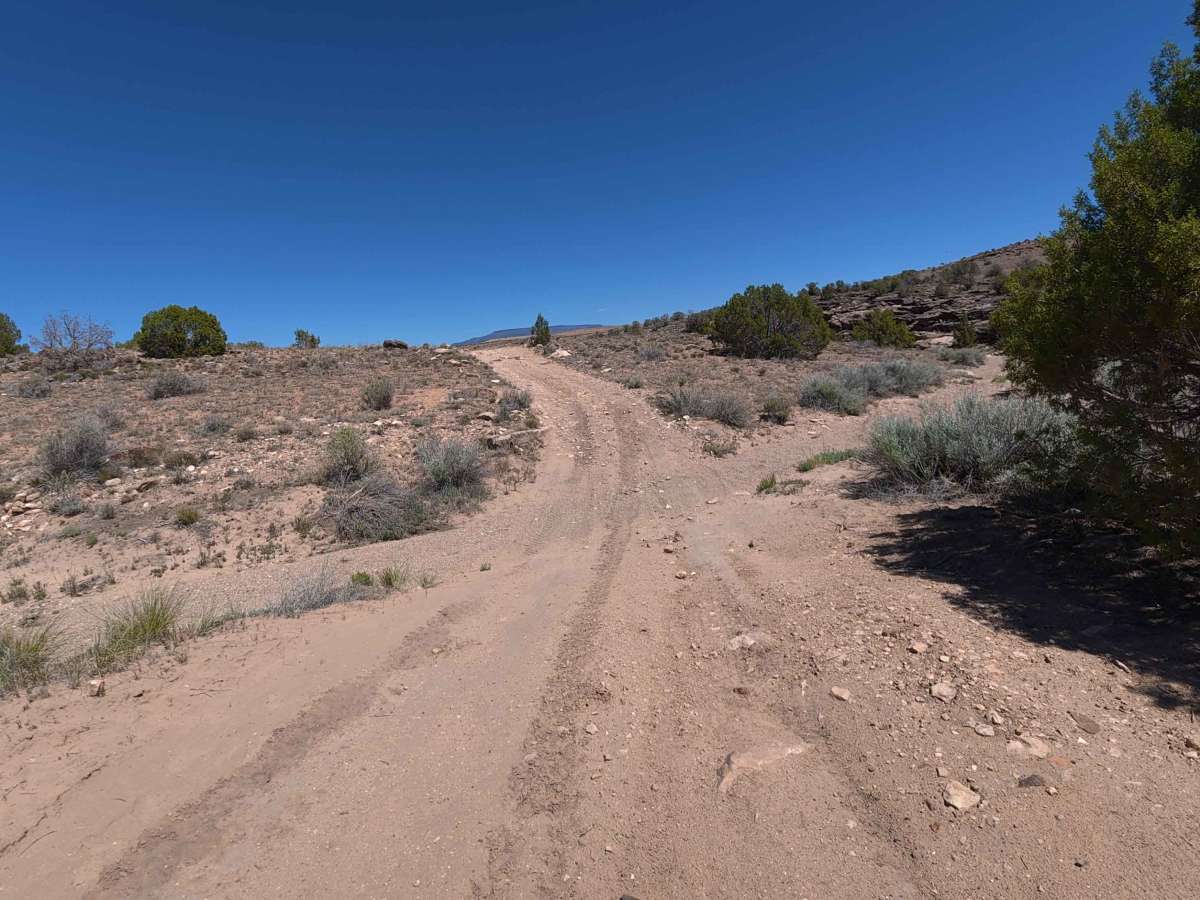
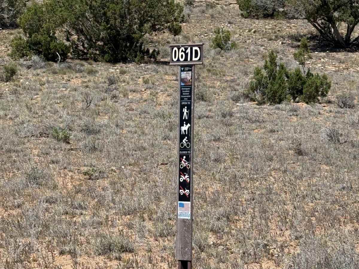
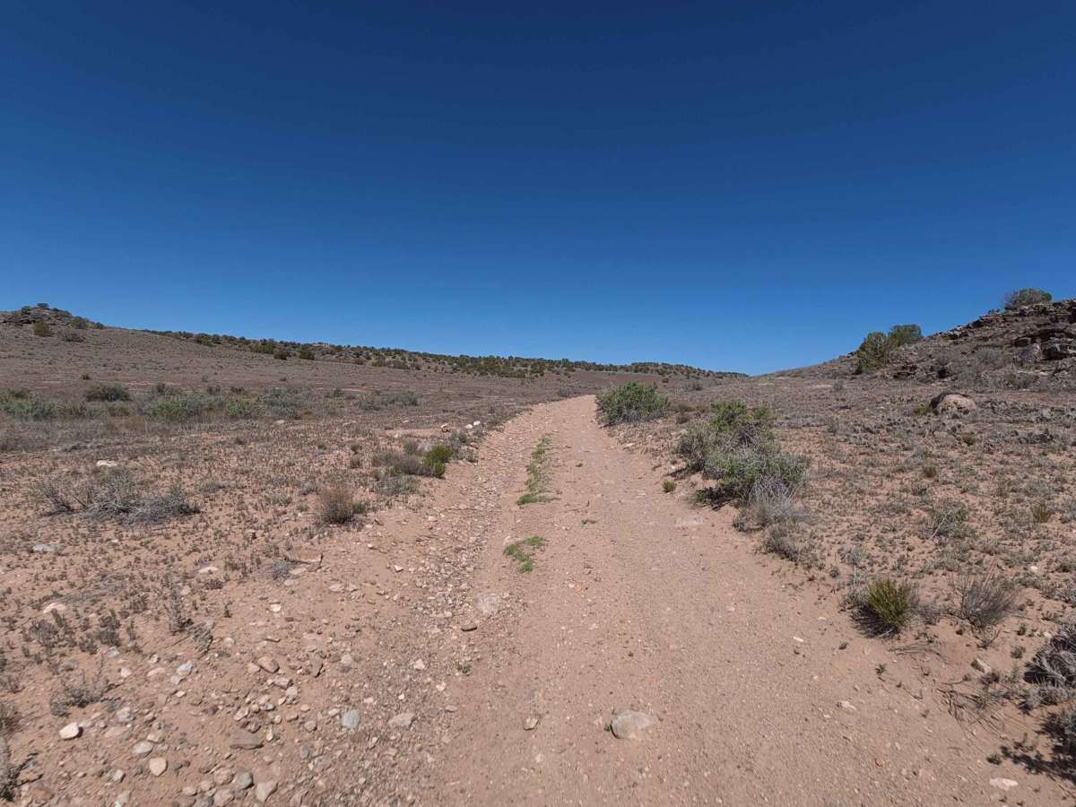
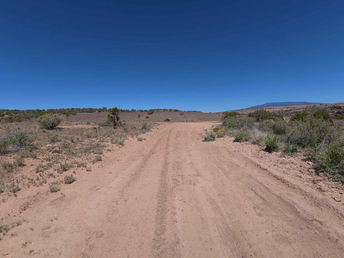
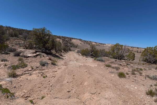
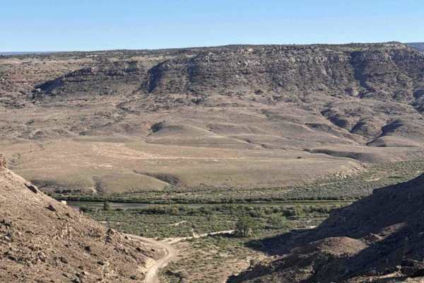
Beginning directly off Route 737, Denca Road Spur A is a beautifully secluded, outback-style route open to hikers, horseback riders, mountain bikers, passenger cars, and side-by-sides. This highly scenic 3.1-mile path winds quietly through rolling desert hills dotted with sparse, fragrant brush and ancient juniper trees beneath a vibrant blue sky. Due to its remote nature, the trail shows clear signs of limited recent use; sections of heavy overgrowth occasionally obscure the driving path, making navigation briefly confusing. Off-roaders must trust and carefully follow their GPS tracks to maintain the correct course. Additionally, travelers will encounter several remarkably narrow stretches where large, fallen trees partially block the trail; however, these natural hazards remain passable without causing vehicle damage, as proven by a full-size SUV successfully clearing the tight corridor. The dusty, rutted dirt road ultimately drops drivers at an incredibly stunning, highly isolated dispersed campsite located on a dramatic peninsula. This premium terminus deeply rewards explorers with unparalleled, 360-degree panoramic views of the winding river below, the massive Grand Mesa, the distant, snowcapped La Sal Mountains, and the rugged red sandstone cliffs enveloping the area.
Difficulty
The Denca Road Spur A earns a solid Level 3 Moderate technical rating primarily due to its deteriorating surface conditions and tight, unmaintained environment. Throughout the transit, drivers must safely manage a steady sequence of dirt ruts ranging from 6 to 8 inches deep, interspersed with occasional mild rock obstacles on the slight inclines. Furthermore, the lack of recent trail maintenance means vehicles must carefully squeeze past encroaching brush and large fallen trees to prevent cosmetic damage. While the trail is manageable and a stock, high-clearance SUV can successfully conquer the route under dry conditions, precise tire placement and slow, deliberate driving are highly recommended.