
Dirt Bike Trails
Near Charleston, Utah
Explore All Dirt Bike Trails Near Charleston, Utah
Dirt Bike Trails Near Charleston, Utah
Discover the best dirt bike trails near you. Browse trail maps, check difficulty ratings, and find your next adventure — whether you're looking for a quick ride or an all-day expedition.
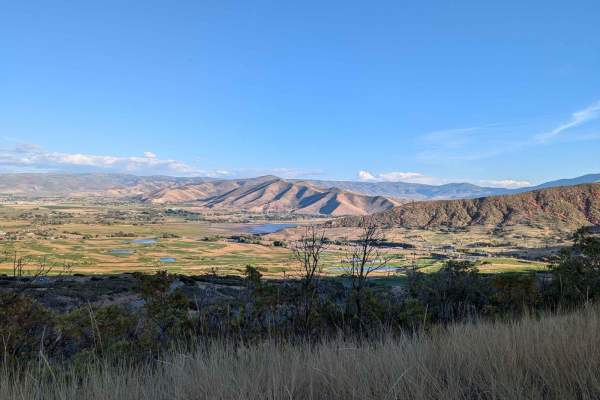
ATV2 / ATV4 to Cascade Springs Drive
This route encompasses two trails, ATV2 and ATV4 in the beautiful Wasatch Mountain State Park. This route used to start lower down, but recent construction has moved the entrance higher off of Cascade Springs. The trail is best suited to side-by-sides, dirt bikes, and ATVs. Narrow full-size machines...
Learn more about ATV2 / ATV4 to Cascade Springs Drive
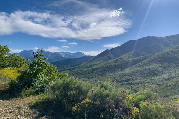
Cummings Parkway Road
Cummings Parkway Road links Cascade Springs Drive with Snake Creek Road (FR 085). The majority of this road is in Wasatch Mountain State Park, but as you approach Snake Creek Road, it will meander into the Uinta National Forest. A few campsites can be found along this trail, but branch out from here...
Learn more about Cummings Parkway Road
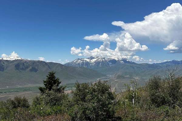
Wallsburg Ridge Trail
The trail starts pretty mellow and then starts to climb up the ridge. It starts to get more rocky and steep, and the trees start to get tighter on each side of the trail. The first major obstacle is the hill climb that is 30 degrees at some parts, and is extremely loose with big boulders. Decent cle...
Learn more about Wallsburg Ridge Trail
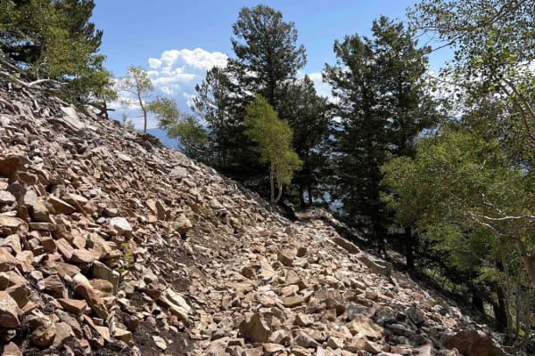
East Ridge (2038)
The East Ridge Trail connects Ridge Trail to Pot Hollow. This is one of the more difficult trails in the American Fork system. Riding south to north, the trail starts off easy in a wooded section before breaking out into a field as you ride across the mountainside. On a clear day, there are great vi...
Learn more about East Ridge (2038)
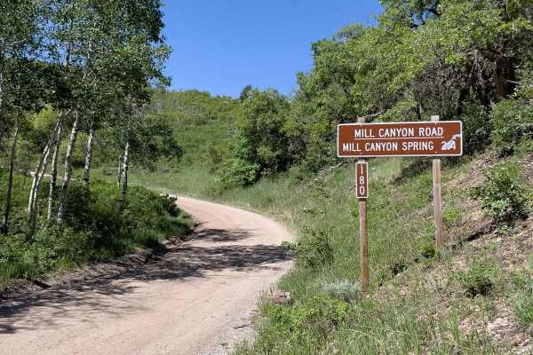
Mill Canyon Spring, 70180
Starting fairly easy, this trail's difficulty progresses, presenting some beginner to intermediate challenges. It climbs nearly 1,000 feet to about 0.1 miles east of the Mill Canyon Spring. A short walk will take you the rest of the way to the spring. However, this trail isn't just about the destina...
Learn more about Mill Canyon Spring, 70180
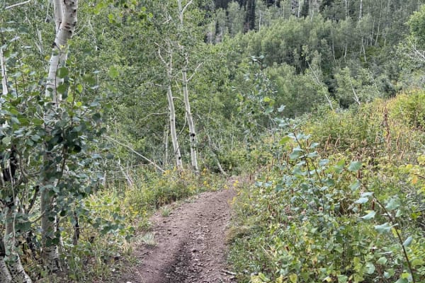
Pot Hollow (2037)
Pot Hollow trail runs east from East Ridge Trail and terminates at a forest road in Pot Hollow. After this intersection, it's all forest roads, so this is a dead-end for single track. Riding west to east, the trail descends steeply in the beginning and flattens out towards Pot Hollow. The trail is m...
Learn more about Pot Hollow (2037)
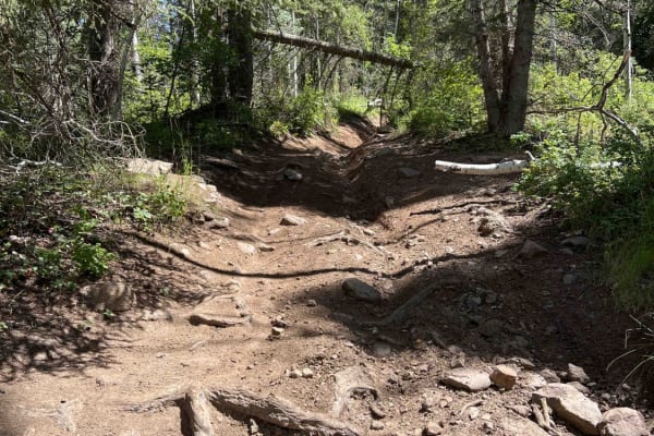
Mill Canyon (2040)
Mill Canyon starts near Tibble Fork Reservoir, where it crosses a wooden bridge and runs through a stream. It climbs approximately 1,800 feet up to Ridge Trail. The lower section has several stream crossings which can be pretty deep in the melt season. There are embedded rocks around these crossings...
Learn more about Mill Canyon (2040)
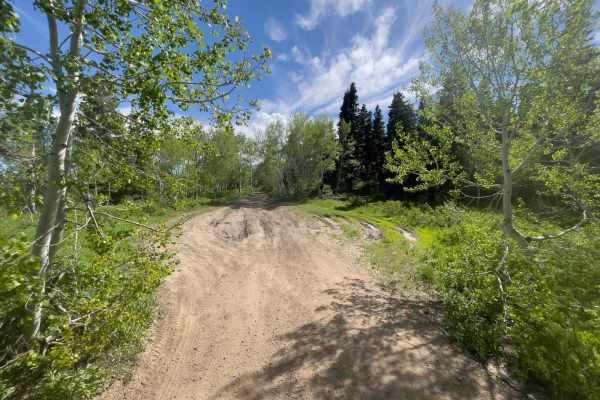
Samps Hollow Overlook (FR 721)
Samps Hollow Overlook is a short trail that mostly follows a ridgeline with areas of mud and some deep ruts. Starting at the end of Mill Canyon Spring Road, Samps Hollow Overlook is short but sweet. There are quite a few primitive campsites, some tucked underneath the pines.
Learn more about Samps Hollow Overlook (FR 721)
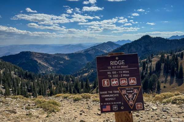
Ridge
The Ridge Trail in American Fork Canyon offers an exhilarating dirt biking adventure with stunning views. While most of the trail is manageable for intermediate riders, the challenge ramps towards the end, featuring steep, gnarly switchbacks that may require walking alongside your bike. The final cl...
Learn more about Ridge
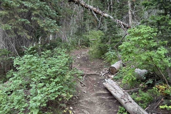
Forest Lake (2171)
Forest Lake Trail drops down from the Ridge Trail to Forest Lake. It's a shorter single-track trail that loses ~500 feet of elevation when riding towards Forest Lake. From the lake, you can take forest roads back to Tibble Fork Reservoir via Shaffer Fork and American Fork Snake Creek, or turn around...
Learn more about Forest Lake (2171)
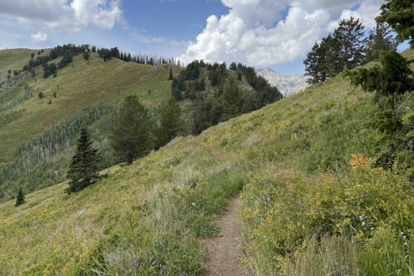
Old Trench Road (2181)
Old Trench Road connects Ridge Trail to Holman Trail. It essentially is a higher elevation bypass to part of Holman and runs west to east. The single-track trail is mostly smooth as it runs across the side of the mountain through short grass fields. There are some larger, softball-sized rocks scatte...
Learn more about Old Trench Road (2181)
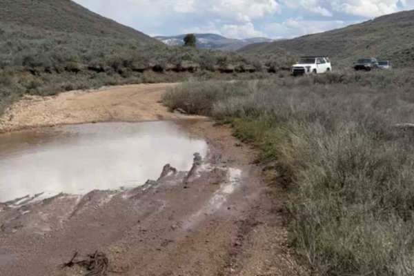
Little Pole Canyon
This is a pretty simple road that most cars could make it up. The only thing that would make this difficult is some of the deep ruts with thick mud in the springtime. In the summer the puddles and mud are usually dried up but are much deeper and thicker in the spring and fall time. Note that the sid...
Learn more about Little Pole Canyon
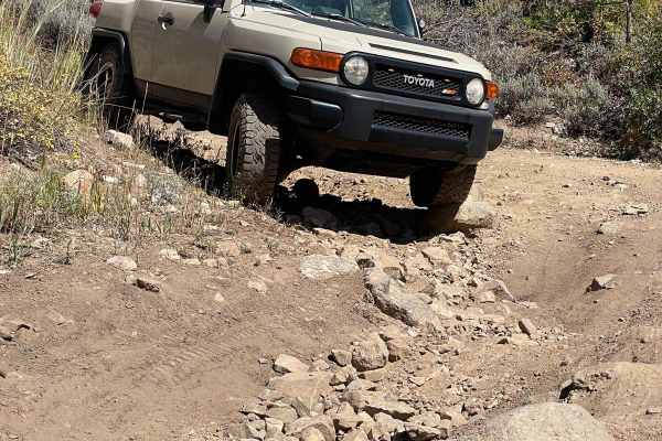
Polly Springs
Polly Springs Trail takes you from Pine Canyon Road to the Polly Ridge. Expect many trees surrounding the trail with more straight-forwardsimpler rocks at the beginning. As you progress, you will hit the first significant rock section. It consists of an intense rut on the left and an off-camber sect...
Learn more about Polly Springs
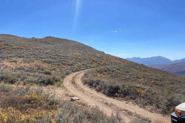
Polly Ridge
This trail takes you from the top of the Polly Springs trail all the way south to get a view over the Heber Valley. It is simple but can be tight in some sections. It has a few sections with trees on one side and a steep drop-off on the other, with little room to spare on either side. This trail end...
Learn more about Polly Ridge
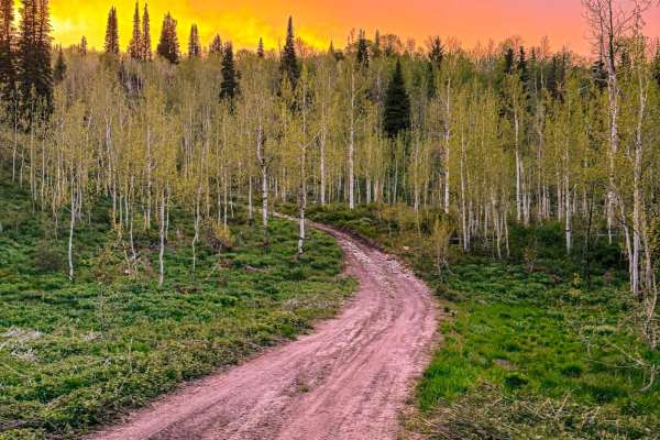
Rattlesnake Hill
Rattlesnake Hill, named after the origins behind the name of the Snake Creek area, is a steep rocky trail with spectacular views. The trail has many steep grades with areas approaching or even surpassing 30 degrees, creating an exciting adventure. Near the bottom of the trail, there are some switchb...
Learn more about Rattlesnake Hill
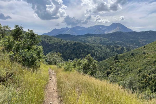
Holman Ridge-Cabin Flat (2172)
Holman Ridge connects Mill Canyon and Holman trails. Running south to north, this single-track trail starts at Mill Canyon and climbs upwards. The route is narrow and deep-more of a trench in some areas. There are smaller softball to football-sized rocks and some roots along the trail. Most are unav...
Learn more about Holman Ridge-Cabin Flat (2172)
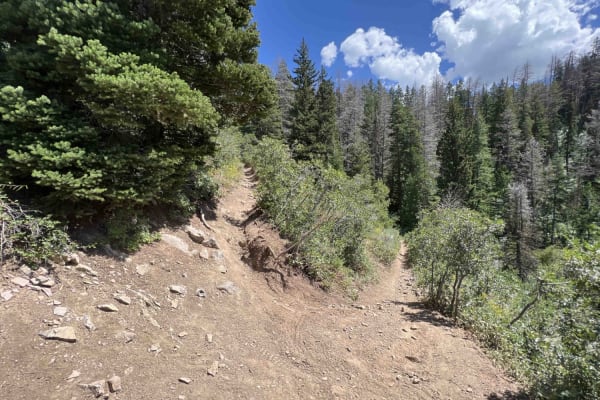
Pine Hollow (2047)
This single-track trail connects the Pine Hollow Parking Lot to the Ridge Trail. From the parking lot, it's a steady climb ~1,200 feet to the Ridge Trail. The beginning is very narrow, with brush on either side of the trail. There's high exposure here as you traverse a hillside and gain elevation fr...
Learn more about Pine Hollow (2047)
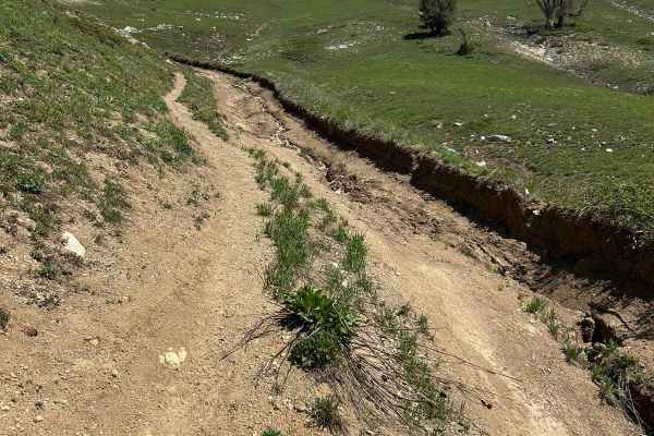
Mill Flat Gulch
Out and back, lots of chunks, but the trail is plenty wide to navigate. A few various tight turns that can be navigated as well. The trail gets progressively more chunky as you climb in elevation. Some larger rock gardens take skill to navigate. The top parts of the trail are washed out, rutted from...
Learn more about Mill Flat Gulch
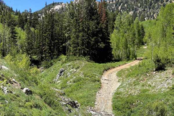
Alta Dry Fork (FR 70198)
One of the most beautiful trails in the area, Alta Dry Fork will challenge beginners and offer some fun for intermediates. Ford low water crossings and navigate your way through pines, aspens, and verdant alpine meadows. Wildflowers trace the trail that follows the Alta Dry Fork Creek, which, depend...
Learn more about Alta Dry Fork (FR 70198)
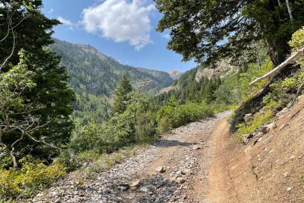
Mary Ellen Gulch
Mary Ellen Gulch is a scenic, introductory out-and-back trail in American Fork Canyon that offers stock high-clearance four-wheel-drive vehicles and SxSs an elevated climb alongside a year-round stream. Spanning approximately 3.5 miles one way, this route serves as an excellent warm-up for nearby Fo...
Learn more about Mary Ellen Gulch
ATV trails near Charleston, Utah
Explore ATV-friendly trails near you. These trails are accessible for vehicles up to 50 inches wide, perfect for ATVs and smaller off-road machines.
ATV2 / ATV4 to Cascade Springs Drive
This route encompasses two trails, ATV2 and ATV4 in the beautiful Wasatch Mountain State Park. This route used to start lower down, but recent construction has moved the entrance higher off of Cascade Springs. The trail is best suited to side-by-sides, dirt bikes, and ATVs. Narrow full-size machines...
Learn more about ATV2 / ATV4 to Cascade Springs Drive
Cummings Parkway Road
Cummings Parkway Road links Cascade Springs Drive with Snake Creek Road (FR 085). The majority of this road is in Wasatch Mountain State Park, but as you approach Snake Creek Road, it will meander into the Uinta National Forest. A few campsites can be found along this trail, but branch out from here...
Learn more about Cummings Parkway Road
Wallsburg Ridge Trail
The trail starts pretty mellow and then starts to climb up the ridge. It starts to get more rocky and steep, and the trees start to get tighter on each side of the trail. The first major obstacle is the hill climb that is 30 degrees at some parts, and is extremely loose with big boulders. Decent cle...
Learn more about Wallsburg Ridge Trail
Mill Canyon Spring, 70180
Starting fairly easy, this trail's difficulty progresses, presenting some beginner to intermediate challenges. It climbs nearly 1,000 feet to about 0.1 miles east of the Mill Canyon Spring. A short walk will take you the rest of the way to the spring. However, this trail isn't just about the destina...
Learn more about Mill Canyon Spring, 70180
UTV/side-by-side trails near Charleston, Utah
Find UTV and side-by-side trails near you. These trails accommodate vehicles up to 60 inches wide, ideal for UTVs, side-by-sides, and wider off-road rigs.
ATV2 / ATV4 to Cascade Springs Drive
This route encompasses two trails, ATV2 and ATV4 in the beautiful Wasatch Mountain State Park. This route used to start lower down, but recent construction has moved the entrance higher off of Cascade Springs. The trail is best suited to side-by-sides, dirt bikes, and ATVs. Narrow full-size machines...
Learn more about ATV2 / ATV4 to Cascade Springs Drive
Cummings Parkway Road
Cummings Parkway Road links Cascade Springs Drive with Snake Creek Road (FR 085). The majority of this road is in Wasatch Mountain State Park, but as you approach Snake Creek Road, it will meander into the Uinta National Forest. A few campsites can be found along this trail, but branch out from here...
Learn more about Cummings Parkway Road
Wallsburg Ridge Trail
The trail starts pretty mellow and then starts to climb up the ridge. It starts to get more rocky and steep, and the trees start to get tighter on each side of the trail. The first major obstacle is the hill climb that is 30 degrees at some parts, and is extremely loose with big boulders. Decent cle...
Learn more about Wallsburg Ridge Trail
Mill Canyon Spring, 70180
Starting fairly easy, this trail's difficulty progresses, presenting some beginner to intermediate challenges. It climbs nearly 1,000 feet to about 0.1 miles east of the Mill Canyon Spring. A short walk will take you the rest of the way to the spring. However, this trail isn't just about the destina...
Learn more about Mill Canyon Spring, 70180
The onX Offroad Difference
onX Offroad combines trail photos, descriptions, difficulty ratings, width restrictions, seasonality, and more in a user-friendly interface. Available on all devices, with offline access and full compatibility with CarPlay and Android Auto. Discover what you're missing today!
Open Trail Map