
Dirt Bike Trails
Near Callaghan, Virginia
Explore All Dirt Bike Trails Near Callaghan, Virginia
Dirt Bike Trails Near Callaghan, Virginia
Discover the best dirt bike trails near you. Browse trail maps, check difficulty ratings, and find your next adventure — whether you're looking for a quick ride or an all-day expedition.
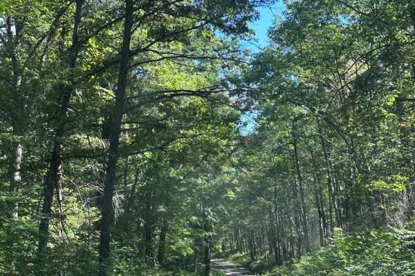
Dolly Anne South
This is a beautiful scenic route through George Washington National Forest. The road is mostly gravel with a few small ruts, shallow mud holes, and mild ruts throughout. There are many dispersed camping options along this route as well. Steep inclines and declines could be an issue for 2wd vehicles ...
Learn more about Dolly Anne South
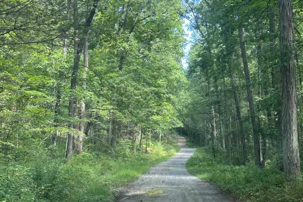
Dolly Anne North
This is a scenic route through George Washington National Forest, offering many dispersed camping options as well as great views of the surrounding mountain ranges. The route is mainly gravel, with a few small ruts as well as steep inclines and declines. There is no cell service on this trail or in ...
Learn more about Dolly Anne North
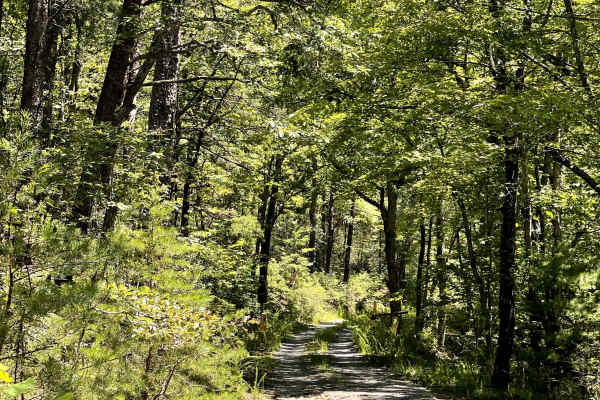
FS 354
FS 354 is a gravel two-track trail that provides a peaceful out-and-back route through the surrounding forest. The trail eventually ends at a closed Forest Service gate, marking the end of vehicle access. At the end of the route, users will find a large turnaround area that appears to have been used...
Learn more about FS 354
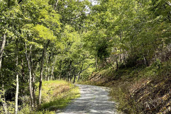
Lignite Mines
Lignite Mines is a thorough trail consisting of a well-maintained gravel road that is approximately two lanes wide for most of the route. The trail either begins or ends at the historic Lignite ghost town, providing users with an interesting destination to explore along the way. The ghost town is be...
Learn more about Lignite Mines
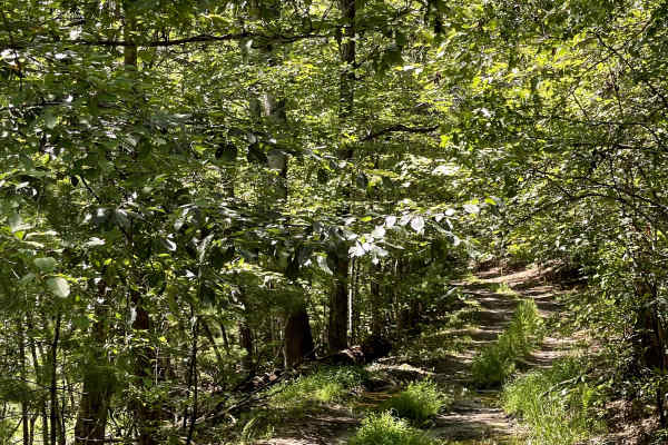
FS 354A
FS 354 A is a separate trail from FS 354 and offers a short out-and-back route through the forest. The trail eventually concludes at a closed Forest Service gate located alongside high-tensile power lines. Near the gate, users will find access to local hiking trails, along with a posted trail map th...
Learn more about FS 354A
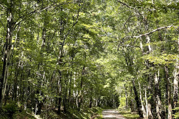
Lignite Road
Lignite Road offers users the flexibility of being traveled as an out-and-back or connected with Lignite Mines to create a through trail. The route consists of a well-packed gravel road that provides a smooth and enjoyable drive through the surrounding countryside. The trail is free of major obstacl...
Learn more about Lignite Road
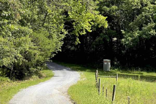
Edlo Lane
Edlo Lane is a well-maintained gravel road that provides users with an alternate access route to Old Railroad and the Craig Creek Recreation Area. While the road itself is free of major obstacles, this route should not be considered a detour for low-clearance vehicles due to the river crossing along...
Learn more about Edlo Lane
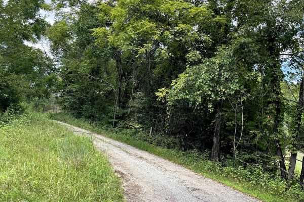
Hostetter Flats
Hostetter Flats provides access to the Craig Creek Recreation Day Use Area and offers a pleasant out-and-back gravel route through the surrounding countryside. The trail is decently to well maintained and is generally an easy drive, although users will encounter a few shallow but jarring mud puddles...
Learn more about Hostetter Flats
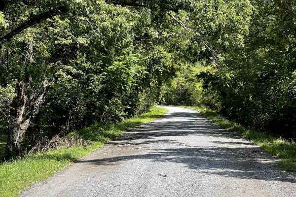
Old Rail Road
Old Railroad is a well-maintained gravel trail that lives up to its name, following an old rail line that has been converted into a gravel road. The route provides a unique combination of history, scenery, and recreation as it travels through the surrounding countryside. Along the trail, users have ...
Learn more about Old Rail Road
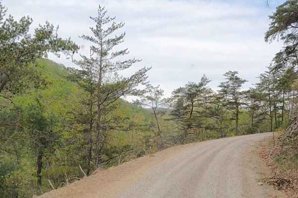
Cove Creek Road
A beautiful drive, and one stretch of Cove Creek Road even takes on the character of a western shelf road, skimming along the hillside with year‑round, stunning views. A few sections tighten up, but there’s still enough space for oncoming vehicles, making it a scenic and comfortable route for anyone...
Learn more about Cove Creek Road
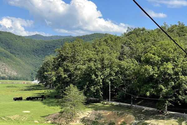
Three Oaks Road
Three Oaks Road is a well-maintained gravel trail that provides users with another opportunity to ford Craig Creek. The route is an out-and-back trail and is generally an easy drive until reaching the river crossing. The road itself is public, but the adjacent farmland is posted as private property,...
Learn more about Three Oaks Road
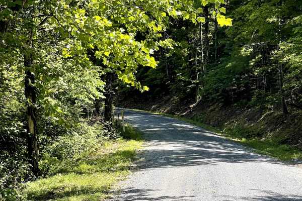
Chatham Road
Chatham Road is a well-maintained county gravel road that can be accessed from either end directly off Highway 220. This route provides a nice reprieve from paved roads and offers users an opportunity to slow down and enjoy the surrounding countryside. The trail winds through open pastureland, provi...
Learn more about Chatham Road
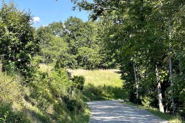
Route 612
Route 612 is a well-maintained, two-lane gravel road accessed from Craig Creek Road. This through trail provides a convenient connection to Scenic View Lane while also giving users another opportunity to experience a local river crossing. The main route is free of major obstacles and is suitable for...
Learn more about Route 612
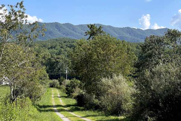
Scenic View Lane
Scenic View Lane is a scenic single-track trail that can be accessed from either Pike Lane or Patterson Creek. The route travels through rural farmland and passes an old abandoned farmhouse, adding a unique historic character to the drive. Outside of the river crossing, the trail is free of major ob...
Learn more about Scenic View Lane
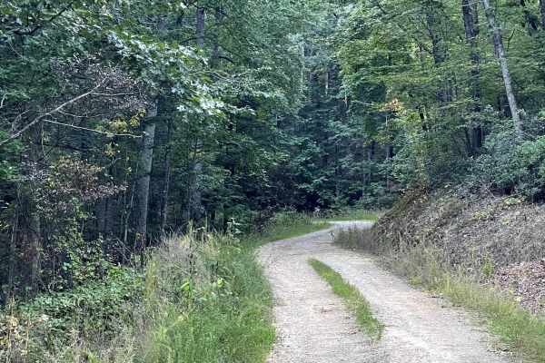
Mill Creek Road
Mill Creek Road is a well-maintained Forest Service road consisting primarily of hard-packed gravel and is free of major obstacles along the accessible portion of the route. This road previously served as a connecting route to the Lignite Mines area; however, recent trail damage has resulted in the ...
Learn more about Mill Creek Road
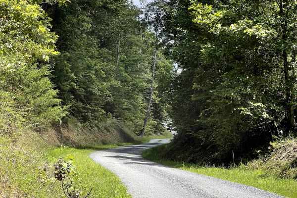
Draft Road
Draft Road is a well-maintained county gravel road that provides a peaceful out-and-back route through the surrounding countryside. The trail begins just off a paved road and continues through a mixture of agricultural farmland and sections of the Jefferson National Forest. The route is free of majo...
Learn more about Draft Road
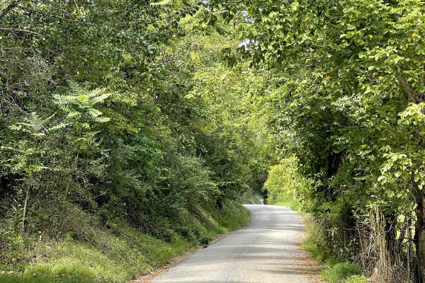
Route 685
Route 685 begins at the left fork of the road, while the right fork continues onto Route 818. This well-maintained county gravel road is free of major obstacles and provides a peaceful route through the surrounding countryside. Currently, the trail has a somewhat bumpy surface, but it is not overly ...
Learn more about Route 685
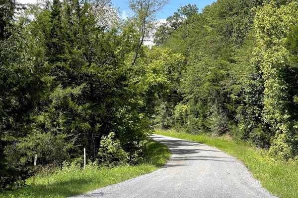
Route 818
Route 818 is a well-maintained gravel road that is free of major obstacles and offers users several options for exploring the area. The route can be traveled as an out-and-back or used as an access road to Oi Road, making it a useful connection within the local trail network. For those choosing the ...
Learn more about Route 818
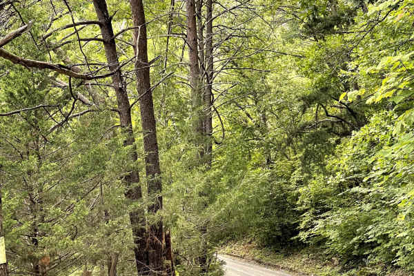
Sugar Tree Hollow
Sugar Tree Hollow is a well-maintained, hard-packed gravel two-track that winds peacefully through the countryside. The trail is free of major obstacles and provides an enjoyable drive for those looking to explore the area's rural scenery without having to navigate technical terrain. While the trail...
Learn more about Sugar Tree Hollow
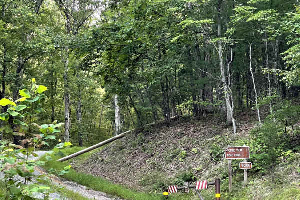
FS 5064
FS 5064 is a mostly well-maintained gravel Forest Service road that originally provided vehicle access to a scenic overlook with views of the Jack and Peters Mountain ranges. Recent storms have caused significant washout damage in the final corner before the scenic overlook, resulting in the road be...
Learn more about FS 5064
ATV trails near Callaghan, Virginia
Explore ATV-friendly trails near you. These trails are accessible for vehicles up to 50 inches wide, perfect for ATVs and smaller off-road machines.
Cove Creek Road
A beautiful drive, and one stretch of Cove Creek Road even takes on the character of a western shelf road, skimming along the hillside with year‑round, stunning views. A few sections tighten up, but there’s still enough space for oncoming vehicles, making it a scenic and comfortable route for anyone...
Learn more about Cove Creek Road
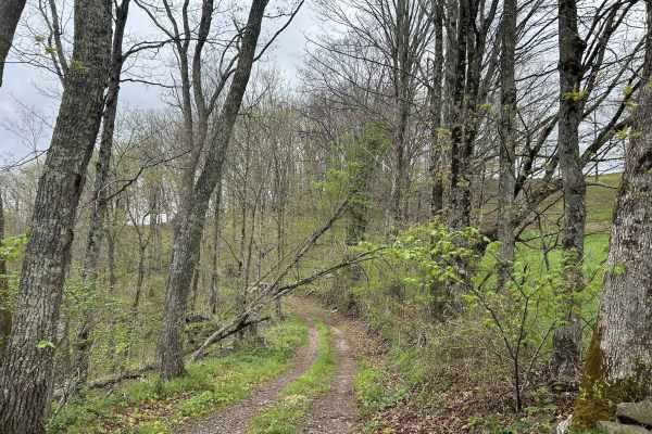
Chestnut Ridge Road
Chestnut Ridge Road offers a scenic journey along a high ridge top, providing breathtaking view on clear days. The majority of the track is an easy drive. The trail features a mandatory technical section that cannot be bypassed, adding just enough challenge to keep things interesting. Please practic...
Learn more about Chestnut Ridge Road
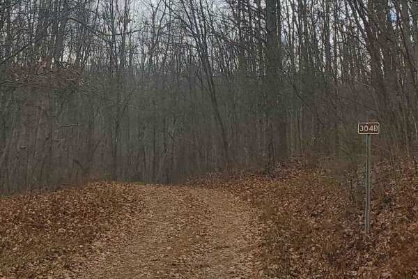
FS304B
This trail is an offshoot of Stillhouse Run Road (FS304). It is poorly, if at all maintained, and downed trees and overgrown limbs cut the trail short of what is shown as available on the map. SxS, dirt bikes, and ATVs may be able to complete the full length of the trail, but a saw would be required...
Learn more about FS304B
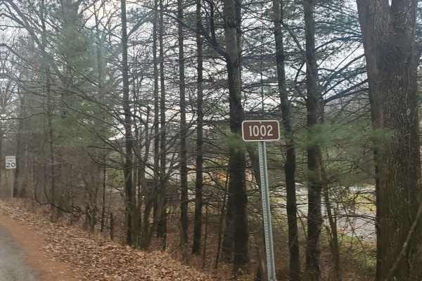
Monday Lick Rd (FS1002)
This forest road goes through part of the Monongahela National Forest and is an easy drive for any truck, small SUV, 4x4, or SxS. Beginning across the street from Stillwell Park, it shares an entrance with Stillwater Run Road (FS 304) but makes an immediate right fork following the Greenbriar River ...
Learn more about Monday Lick Rd (FS1002)
UTV/side-by-side trails near Callaghan, Virginia
Find UTV and side-by-side trails near you. These trails accommodate vehicles up to 60 inches wide, ideal for UTVs, side-by-sides, and wider off-road rigs.
Cove Creek Road
A beautiful drive, and one stretch of Cove Creek Road even takes on the character of a western shelf road, skimming along the hillside with year‑round, stunning views. A few sections tighten up, but there’s still enough space for oncoming vehicles, making it a scenic and comfortable route for anyone...
Learn more about Cove Creek Road
Chestnut Ridge Road
Chestnut Ridge Road offers a scenic journey along a high ridge top, providing breathtaking view on clear days. The majority of the track is an easy drive. The trail features a mandatory technical section that cannot be bypassed, adding just enough challenge to keep things interesting. Please practic...
Learn more about Chestnut Ridge Road
FS304B
This trail is an offshoot of Stillhouse Run Road (FS304). It is poorly, if at all maintained, and downed trees and overgrown limbs cut the trail short of what is shown as available on the map. SxS, dirt bikes, and ATVs may be able to complete the full length of the trail, but a saw would be required...
Learn more about FS304B
Monday Lick Rd (FS1002)
This forest road goes through part of the Monongahela National Forest and is an easy drive for any truck, small SUV, 4x4, or SxS. Beginning across the street from Stillwell Park, it shares an entrance with Stillwater Run Road (FS 304) but makes an immediate right fork following the Greenbriar River ...
Learn more about Monday Lick Rd (FS1002)
The onX Offroad Difference
onX Offroad combines trail photos, descriptions, difficulty ratings, width restrictions, seasonality, and more in a user-friendly interface. Available on all devices, with offline access and full compatibility with CarPlay and Android Auto. Discover what you're missing today!
Open Trail Map