Trail Overview
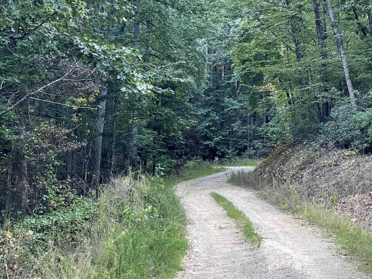
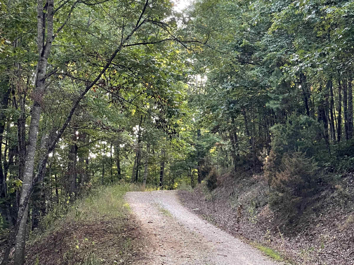
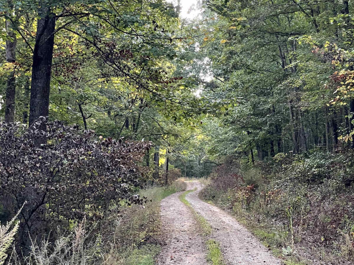
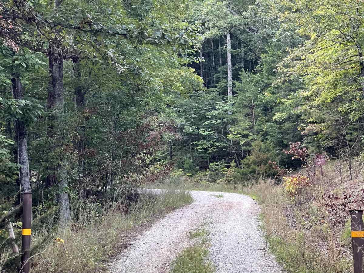
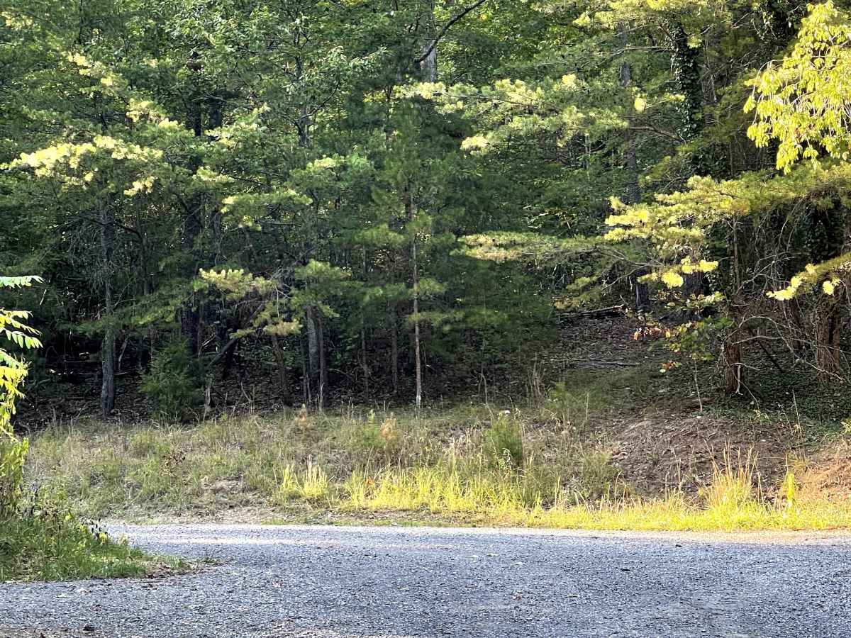
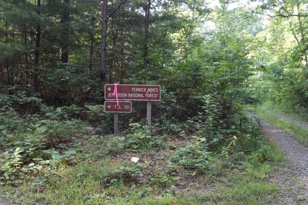
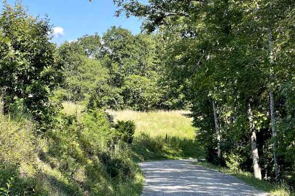
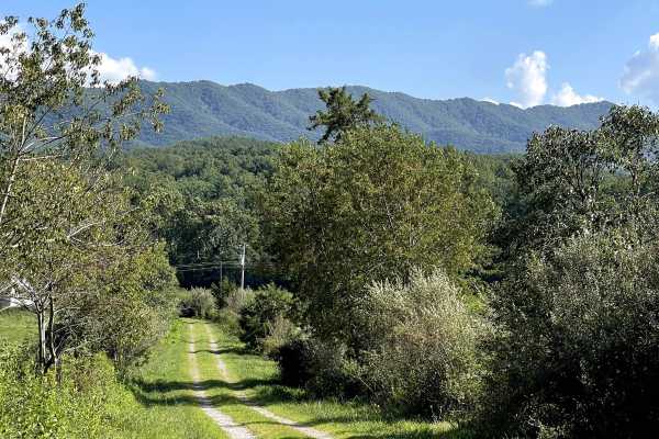
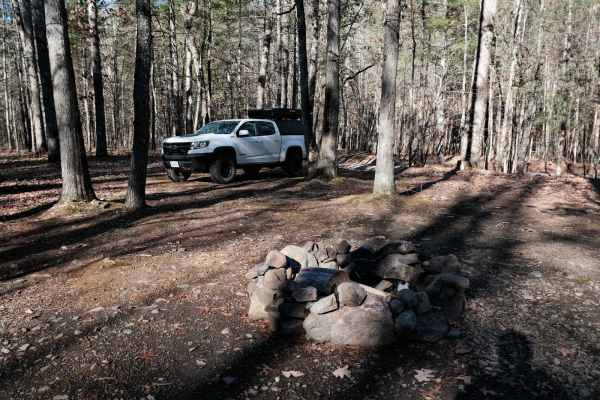
Mill Creek Road is a well-maintained Forest Service road consisting primarily of hard-packed gravel and is free of major obstacles along the accessible portion of the route. This road previously served as a connecting route to the Lignite Mines area; however, recent trail damage has resulted in the USFS closing the road to vehicle traffic near the end of the route. Large boulders have been placed across the road at the closure point, preventing further vehicle travel. The road remains open to foot traffic beyond the closure, allowing users to explore the area on foot. A large circular parking and turnaround area is available near the closure. Dispersed camping is also permitted along the road, providing several opportunities for users to enjoy the surrounding forest.
Difficulty
Although this trail is a two-track and not two lanes wide, it is well maintained, graveled, and suitable for most vehicles.