Trail Overview
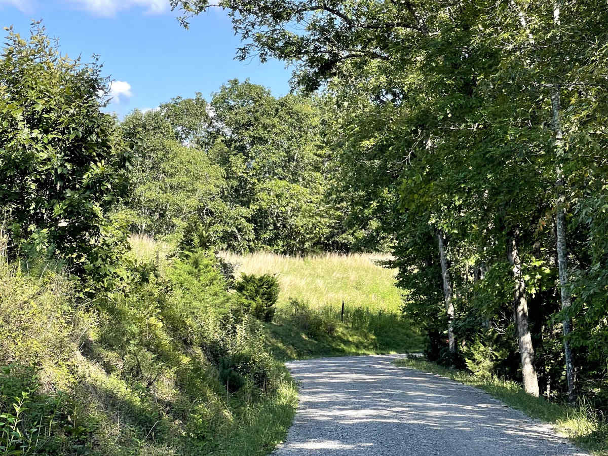
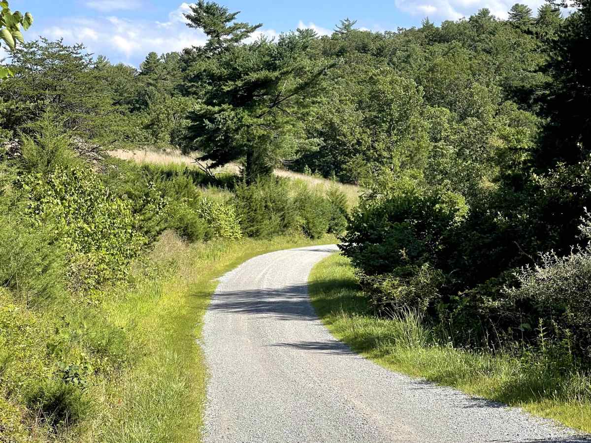
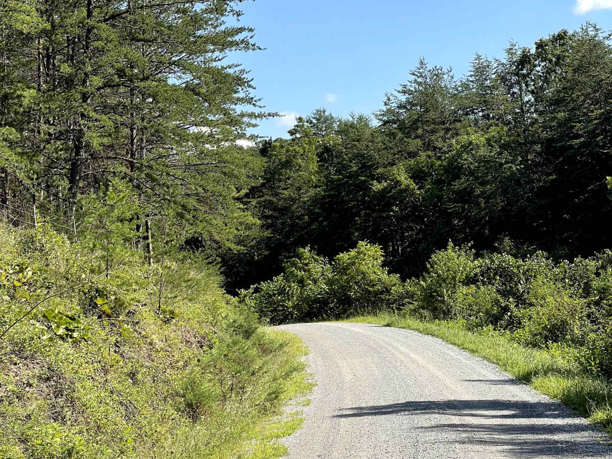
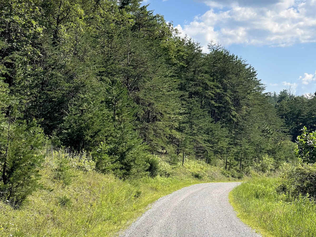
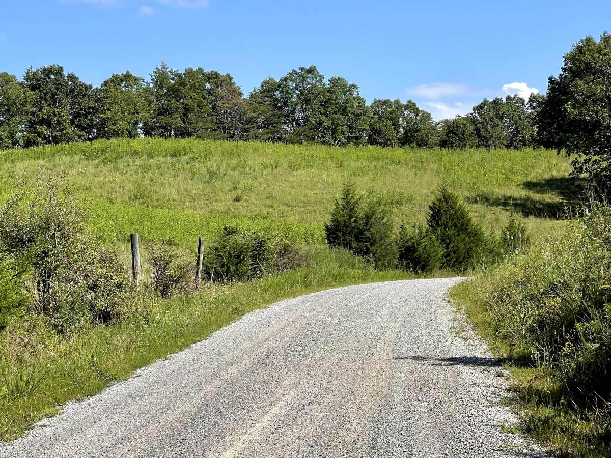
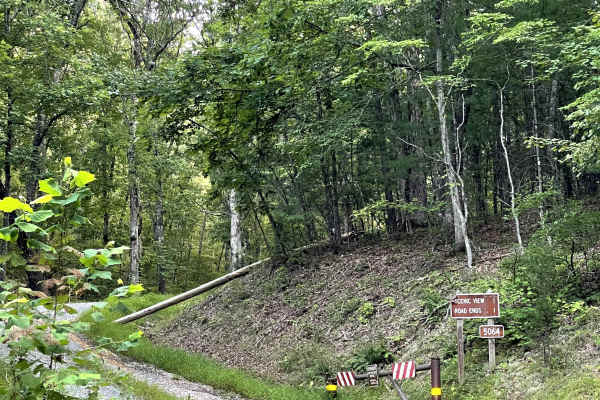
Route 612 is a well-maintained, two-lane gravel road accessed from Craig Creek Road. This through trail provides a convenient connection to Scenic View Lane while also giving users another opportunity to experience a local river crossing. The main route is free of major obstacles and is suitable for most vehicles, making it an enjoyable option for those looking to explore the surrounding countryside.
For users planning to continue onto Scenic View Lane, the river crossing becomes an important consideration. High-clearance vehicles are required to safely navigate the crossing, and users should evaluate water depth and conditions before attempting it. Those without adequate clearance should avoid the crossing and remain on the main portion of Route 612. Overall, Route 612 is a scenic and accessible gravel route that offers an easy drive with the option to add a more challenging river crossing for appropriately equipped vehicles.