FS 354A

Total Miles1.2
Technical Rating
2Easy
Best TimeSpring, Summer, Fall, Winter
Trail TypeFull-Width Road
Accessible By
Open Trail Map

Trail Overview

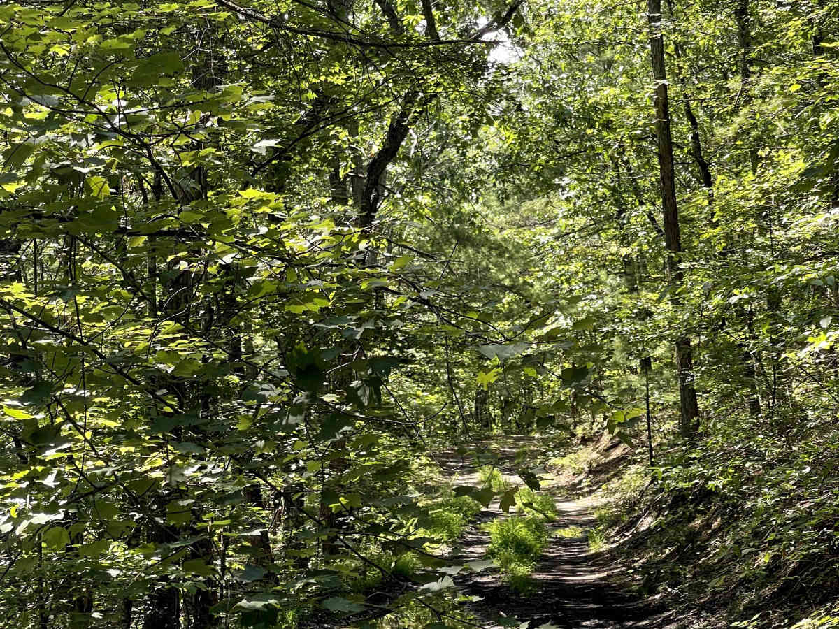
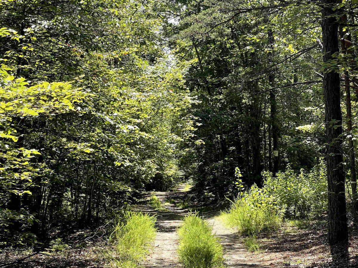
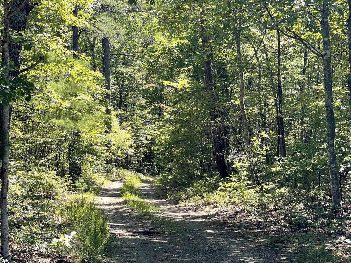
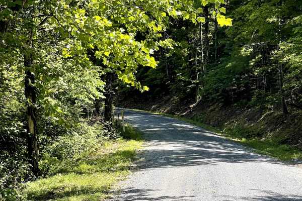
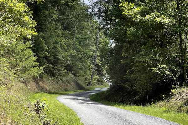
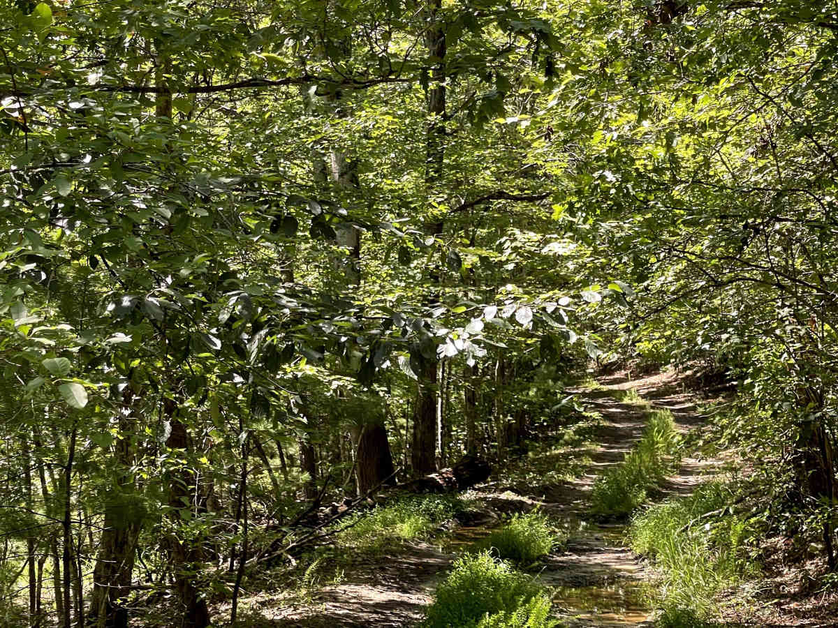
FS 354 A is a separate trail from FS 354 and offers a short out-and-back route through the forest. The trail eventually concludes at a closed Forest Service gate located alongside high-tensile power lines. Near the gate, users will find access to local hiking trails, along with a posted trail map that provides information for those looking to continue their adventure on foot. While the trail is generally manageable when dry, conditions can change dramatically after rain. The entire route can become extremely muddy, with thick, soupy mud and shallow mudholes throughout. These conditions may make the trail unsuitable for low-clearance vehicles and most 2WD vehicles. Users should carefully consider recent weather before attempting the route. When conditions are dry, FS 354 A should be a straightforward trail with no significant issues. However, after rainfall, expect a much more challenging and muddy experience.

Photos of FS 354A

Difficulty

Difficulty is defined as a 2; however, weather can be a difficulty multiplier.

Technical Rating

2

FS 354A Trail can be accessed by the following ride types:

  • Single Track
  • High Clearance
  • Full Width

FS 354A Map

The onX Offroad Difference

onX Offroad combines trail photos, descriptions, difficulty ratings, width restrictions, seasonality, and more in a user-friendly interface. Available on all devices, with offline access and full compatibility with CarPlay and Android Auto. Discover what you're missing today!

Open Trail Map