Trail Overview
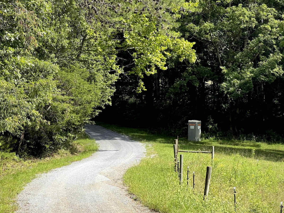
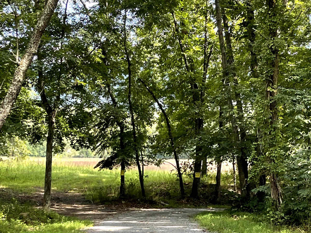
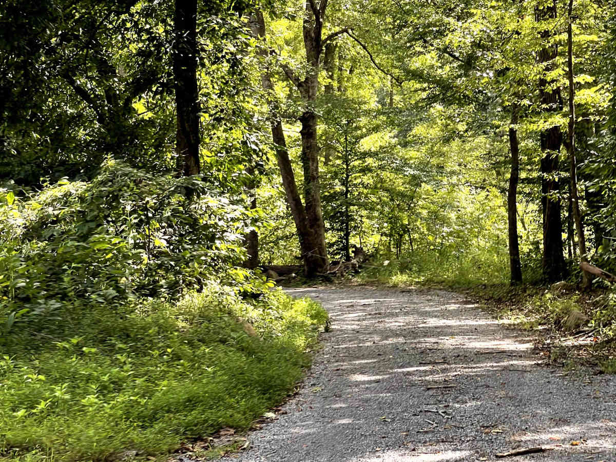
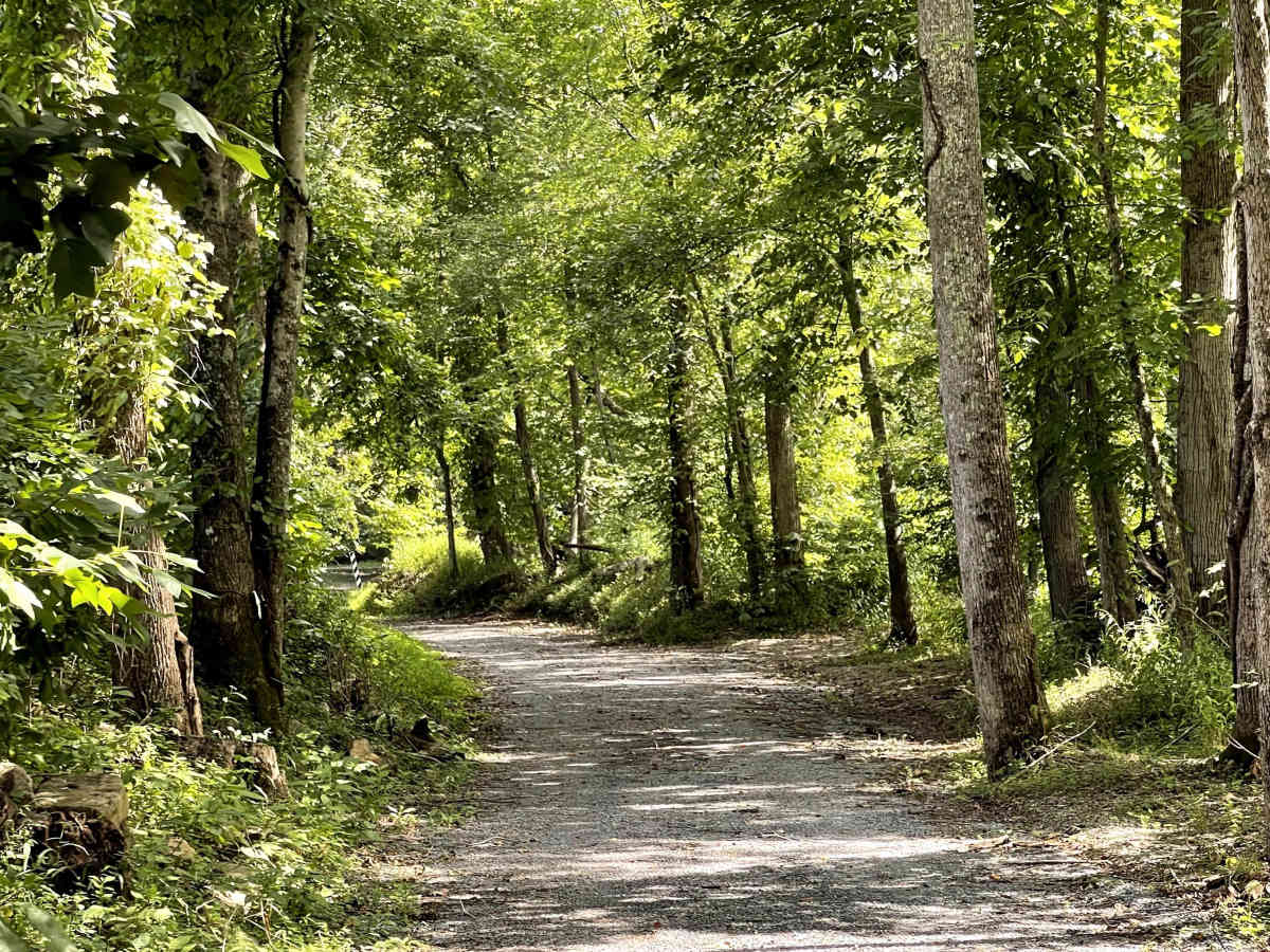
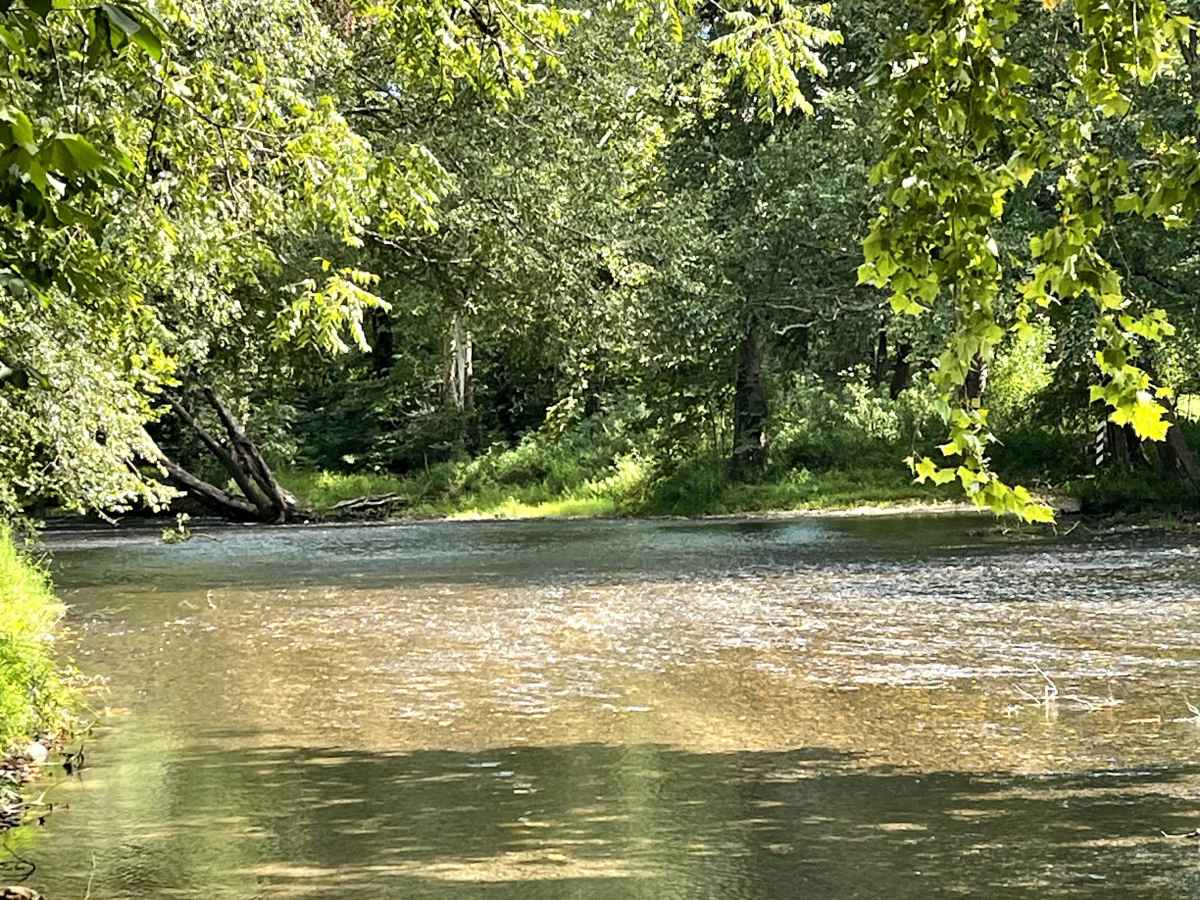
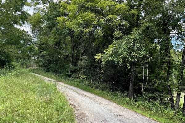
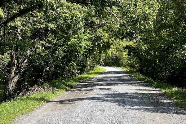
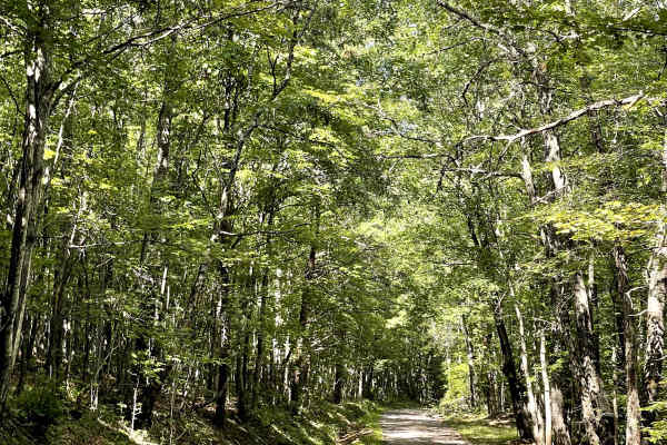
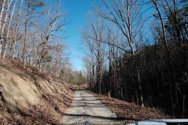
Edlo Lane is a well-maintained gravel road that provides users with an alternate access route to Old Railroad and the Craig Creek Recreation Area. While the road itself is free of major obstacles, this route should not be considered a detour for low-clearance vehicles due to the river crossing along the trail. The crossing averages approximately 15 inches in depth and, according to local information, can crest near 20 inches. Users should carefully evaluate water levels and vehicle clearance before attempting the crossing. Those with vehicles capable of safely navigating the water can use Edlo Lane to connect several nearby trails and create a longer route with multiple river-crossing opportunities. For users who cannot safely ford the river, this trail may not be a suitable alternate access route. However, for appropriately equipped vehicles and favorable water conditions, Edlo Lane offers an enjoyable way to expand a local trail loop while providing access to the surrounding recreation areas.
Difficulty
River crossing increases the difficulty, and depth can change after rain. Other than the river, the trail can be rated as a 1.