Route 818

Total Miles4.1
Technical Rating
1Easy
Best TimeSpring, Summer, Fall, Winter
Trail TypeFull-Width Road
Accessible By
Open Trail Map

Trail Overview

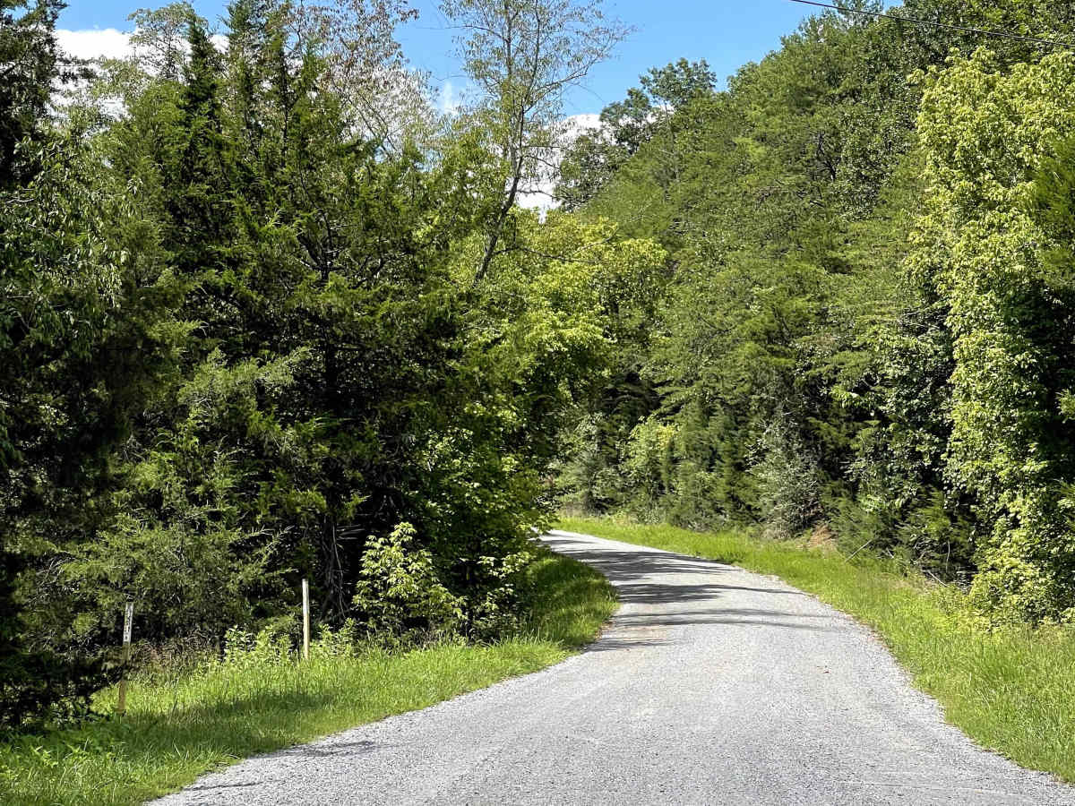
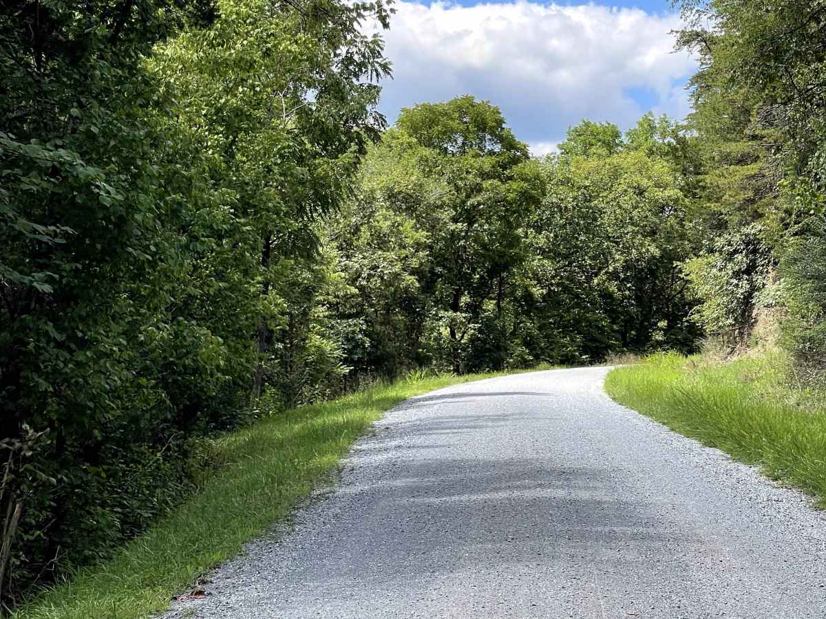
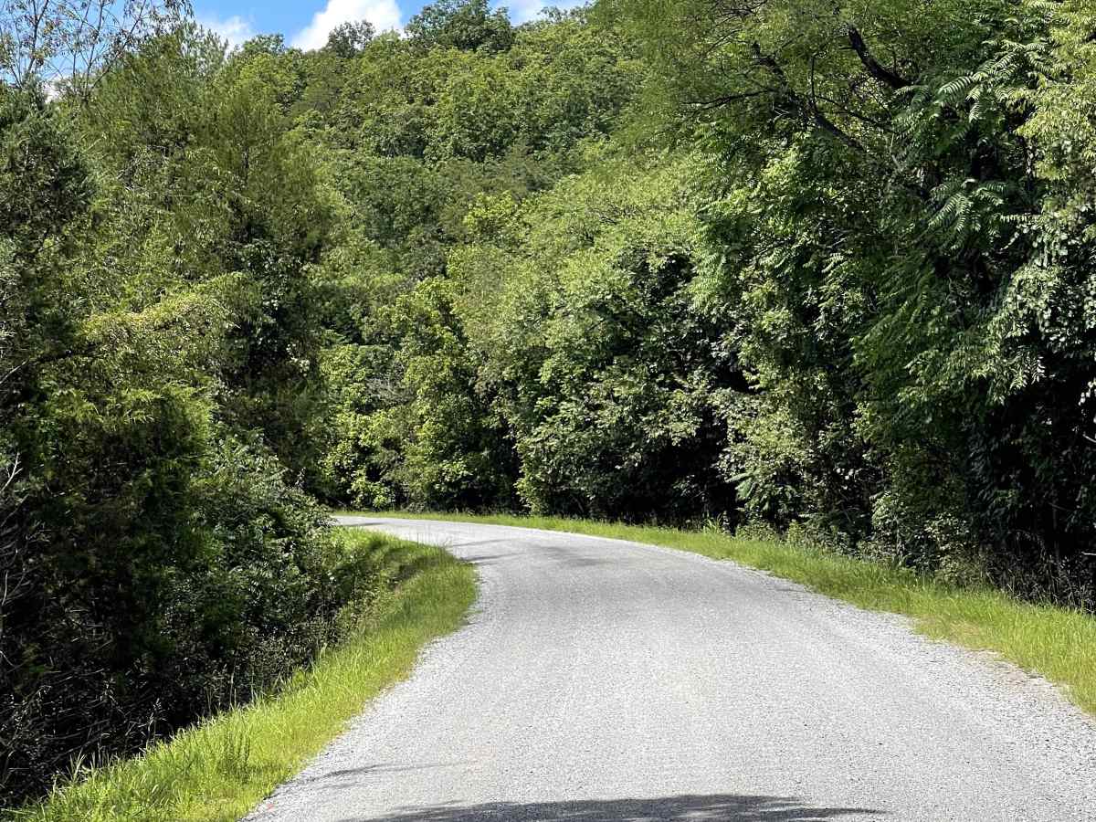
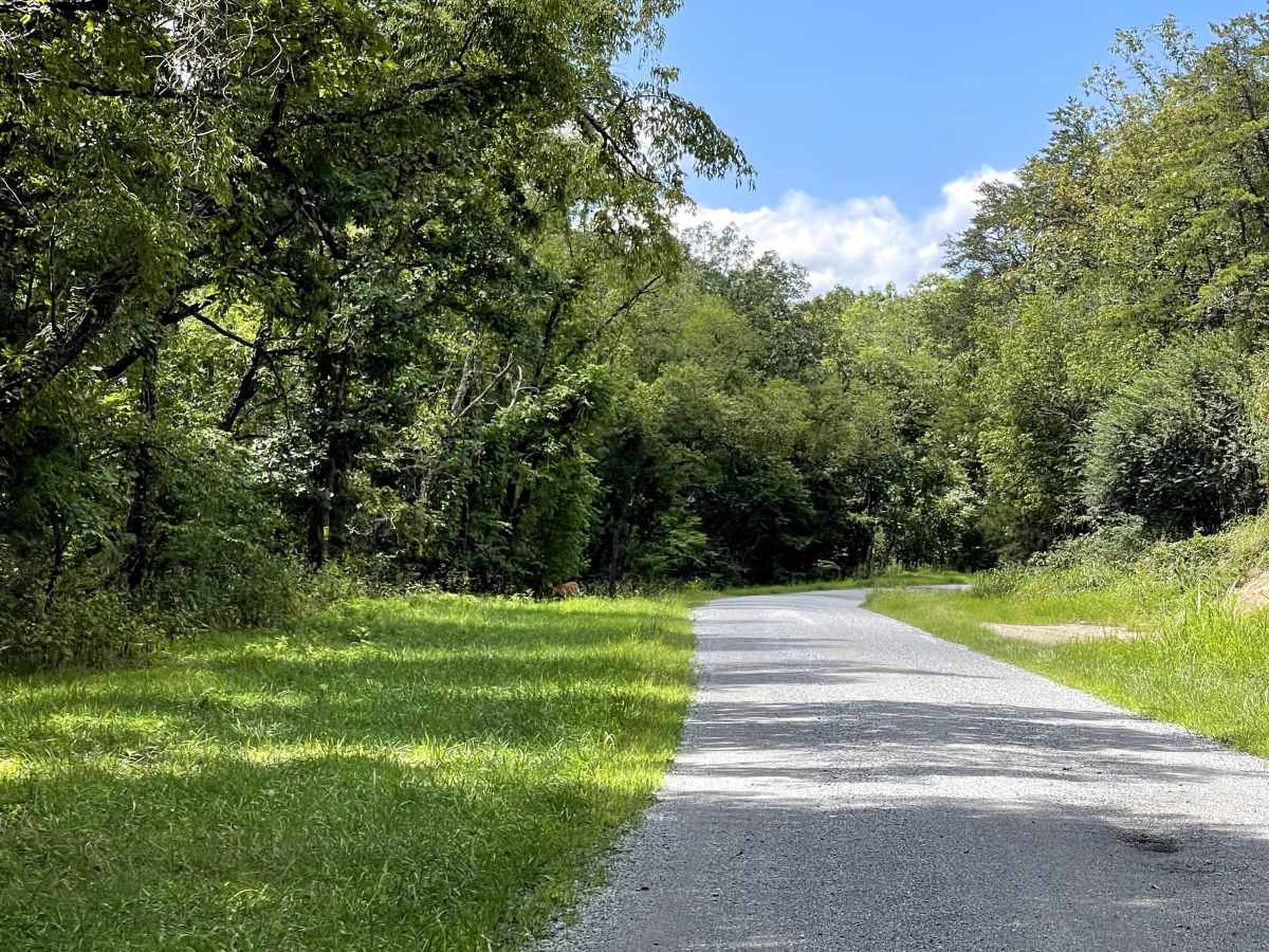
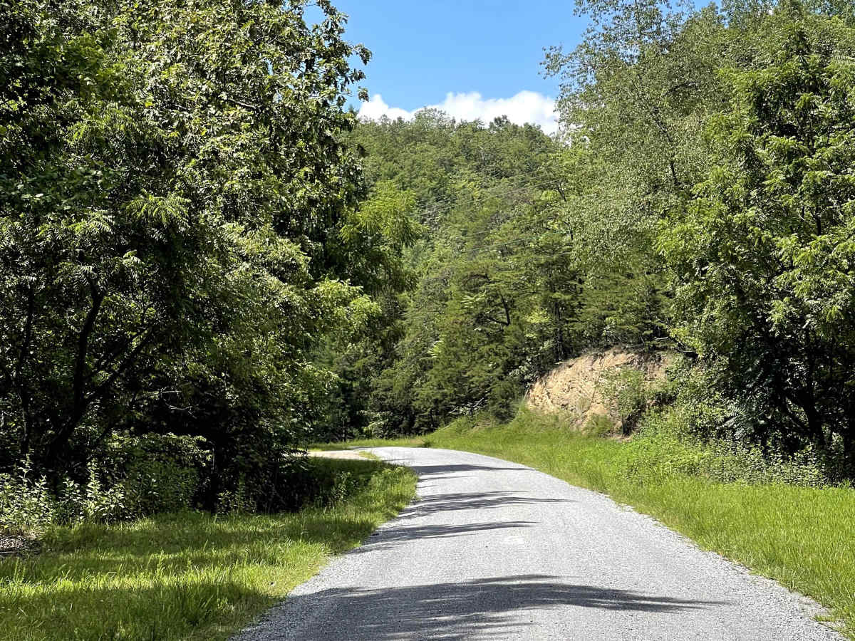
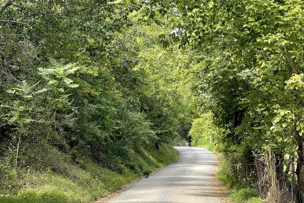
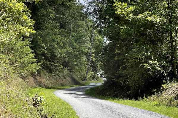
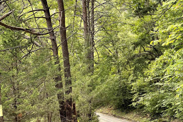
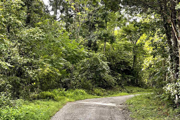
Route 818 is a well-maintained gravel road that is free of major obstacles and offers users several options for exploring the area. The route can be traveled as an out-and-back or used as an access road to Oi Road, making it a useful connection within the local trail network. For those choosing the out-and-back option, the trail eventually ends at a closed Forest Service gate. Near the gate, users will find a large parking area that provides access to nearby hiking trails as well as the adjacent river. This area offers plenty of opportunities to stop and enjoy the water, whether fishing, swimming, or launching a kayak or tube. Much of Route 818 parallels Craig Creek, which is wide, relatively flat, and generally shallow. The combination of easy gravel travel and access to the creek makes this a peaceful and enjoyable route for exploring the area.

Photos of Route 818

Difficulty

Well-maintained gravel road suitable for most vehicles.

Technical Rating

1

Route 818 Trail can be accessed by the following ride types:

  • Single Track
  • High Clearance
  • Full Width

Route 818 Map

The onX Offroad Difference

onX Offroad combines trail photos, descriptions, difficulty ratings, width restrictions, seasonality, and more in a user-friendly interface. Available on all devices, with offline access and full compatibility with CarPlay and Android Auto. Discover what you're missing today!

Open Trail Map