
Dirt Bike Trails
Near Alpine, Arkansas
Explore All Dirt Bike Trails Near Alpine, Arkansas
Dirt Bike Trails Near Alpine, Arkansas
Discover the best dirt bike trails near you. Browse trail maps, check difficulty ratings, and find your next adventure — whether you're looking for a quick ride or an all-day expedition.
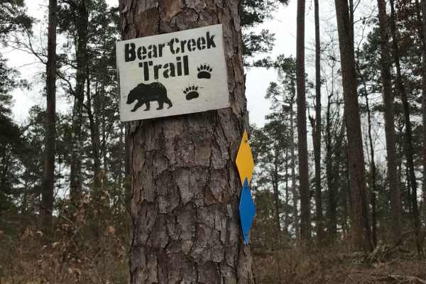
Bear Creek Trail
Bear Creek Trail is an exceptional offroad trail designed primarily for ATVs and dirt bikes looking to tackle rugged shoreline terrain with scenic views of Lake Greeson and the Ouachita Mountains. This specific 6.3-mile point-to-point segment begins at Daisy State Park and winds along the pine and o...
Learn more about Bear Creek Trail
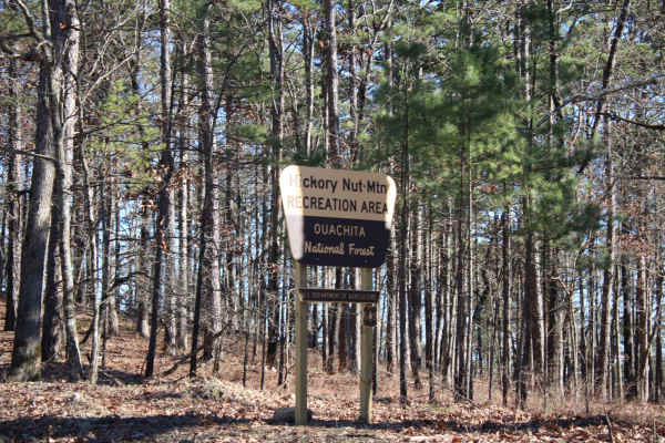
Hickory Nut Mountain
This maintained Gravel road goes up to Hickory Nut Vista Lookout. As you travel to the vista you will pass Hickory Nut Campground on the left side of the road. This is a dispersed campground with a pit toilet, picnic tables, and a fire ring. Awesome views of Lake Ouachita can be seen. This road does...
Learn more about Hickory Nut Mountain
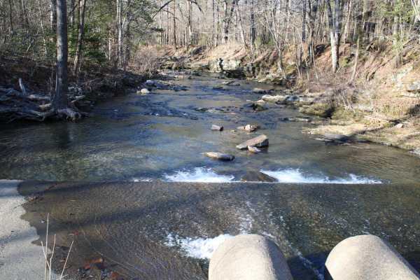
Pipe Spring
This road leaves Hickory Nut Road at the west end and the east end stops at Crystal Springs Resort entrance. Across the main road is a public boat ramp with restrooms and great views of Lake Ouachita. There are nice dispersed campsites along this road. Awesome creek-side camping and group-sized disp...
Learn more about Pipe Spring
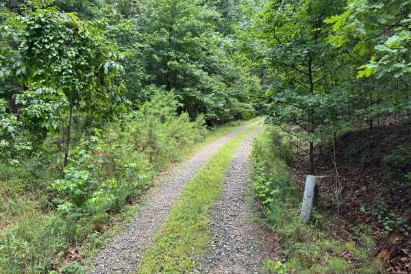
Harvey
This spur route branches off of Hamilton Creek and quickly transitions into a more remote forest setting. Unlike the surrounding gravel roads, this trail is primarily dirt-based with scattered gravel and natural forest debris, giving it a more primitive feel. The route winds through a mixture of har...
Learn more about Harvey
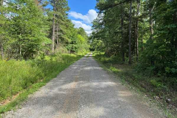
Shooting Range
This quiet forest route follows a maintained gravel road through a mix of pine and hardwood timber, offering an easy and enjoyable drive for travelers looking to explore the area without encountering technical obstacles. The road is generally one to one-and-a-half vehicles wide, with occasional wide...
Learn more about Shooting Range
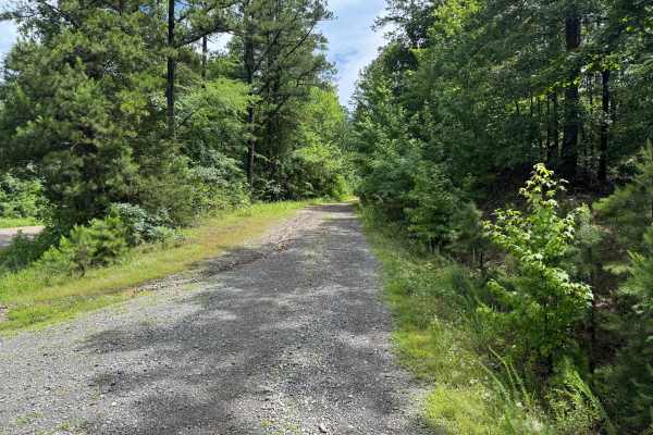
Hamilton Creek
Hamilton Creek is a short out-and-back forest route branching off Gaston Road. The route travels through a dense pine forest with narrow corridors, young timber growth, and thick brush that creates a secluded backcountry feel. While there are no major obstacles or technical challenges, the trail off...
Learn more about Hamilton Creek
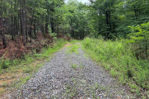
Mullins Loop
This forest road offers a more rugged experience than the surrounding trail network. While still relatively easy to navigate, the route receives less maintenance and has a noticeably more overgrown character. Grass and other vegetation grow between the tire tracks, and brush frequently encroaches on...
Learn more about Mullins Loop
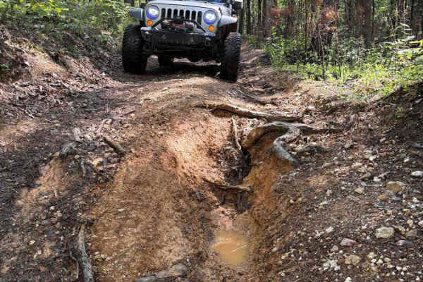
Lake Point Trail
This is a dirt 2-track that has it all. Deep mud holes, deep washes, slick clay hill climbs and descents, lake views, and an amazing lakeside campsite at the end. A high clearance 4x4 with 4 low is preferred, and pin strips are possible. The worst washout does have a bypass, but most of the deep mud...
Learn more about Lake Point Trail
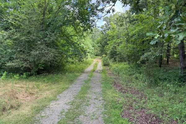
Woods Branch
This unmaintained forest road offers a more remote experience than many of the surrounding gravel routes while remaining accessible to most stock high-clearance vehicles. The trail follows a narrow corridor through dense pine and hardwood forest, winding through terrain with thick vegetation pressin...
Learn more about Woods Branch
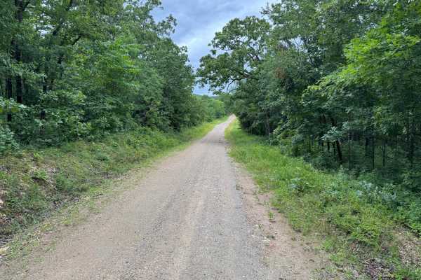
West Springs Branch
This scenic gravel route travels through a mix of mature hardwood forest, pines, and open clearings filled with seasonal wildflowers. The road is generally well maintained and suitable for most stock vehicles, offering a relaxing drive through the terrain of the Ouachita Mountains. One of the highli...
Learn more about West Springs Branch
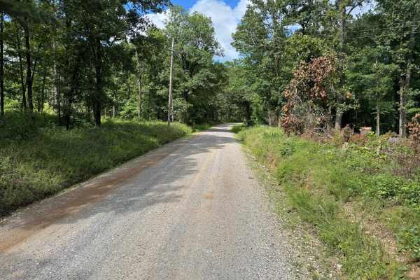
Job Corp Road
This easy scenic route winds through a peaceful forest setting on a well-maintained gravel road. Towering pines and mature hardwoods line much of the drive, creating a shaded corridor that offers a relaxing experience for travelers seeking to enjoy the area's natural beauty. The road is generally wi...
Learn more about Job Corp Road
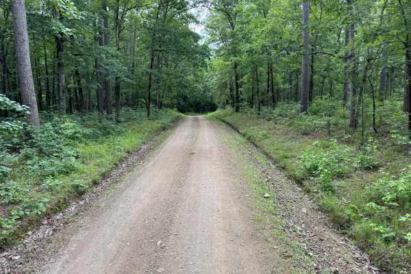
River Bluff Road
This scenic forest road winds through a mix of mature hardwoods, pines, and open clearings before ending at a quiet recreation area. The route follows a well-maintained gravel surface that is generally smooth and easy to navigate, making it suitable for nearly any vehicle. Along the way, travelers w...
Learn more about River Bluff Road
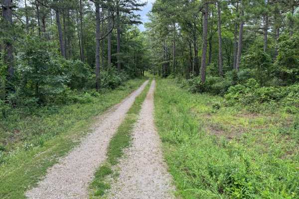
Old Piney Cemetery
This easy forest route follows a fairly maintained gravel road through mature pine and hardwood timber within the Ouachita Mountains. The road is generally one vehicle wide, though several wider sections provide opportunities to pass oncoming traffic. The drive winds through a peaceful forest settin...
Learn more about Old Piney Cemetery
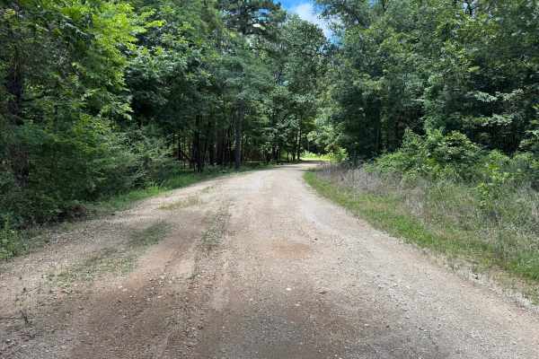
Kane Island
This route begins as a wide and well-maintained gravel road that offers an easy drive through a mix of pine forest and hardwood timber. Early sections are straightforward, with enough width for two vehicles to pass comfortably and plenty of room to enjoy the surrounding scenery. As the route progres...
Learn more about Kane Island
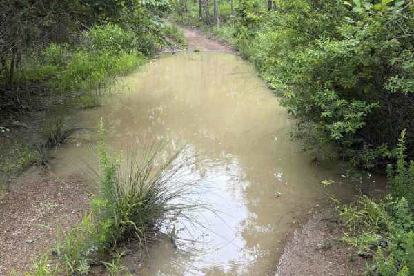
North Shore Road - FS 7492
The trail starts as a gravel road but turns to a dirt 2-track after about half a mile. It winds through the forest, showcasing the beauty of the Ouachita National Forest. You will have several mud holes to cross that can be easily navigated by any high-clearance 4x4. As you pass the tip of a cove, t...
Learn more about North Shore Road - FS 7492
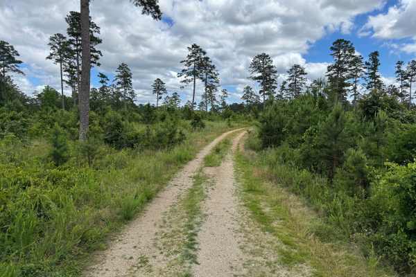
Mauldin Spur
This scenic out-and-back route winds through a mix of pine forest and hardwood timber. The trail begins in a more open section with long views across young pine growth before transitioning into a shaded forest corridor lined with mature trees. The road surface remains consistent throughout, consisti...
Learn more about Mauldin Spur
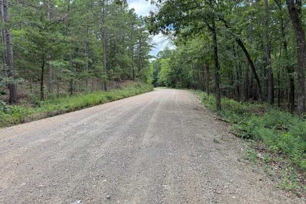
Hee Gap
This maintained gravel road offers a short and relaxing drive through a scenic section of national forest. The route winds through mature pine and hardwood, with gentle curves and rolling terrain providing a pleasant change of scenery without presenting any significant driving challenges. The road s...
Learn more about Hee Gap
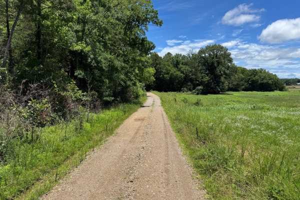
Mauldin
This maintained gravel road provides an easy and relaxing drive through a mix of managed timberland and open clearings. The route winds through dense pine and hardwood forests before transitioning into several open areas that offer a different perspective of the surrounding landscape. Long straighta...
Learn more about Mauldin
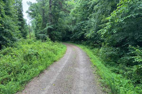
Quachita Cedar
This easy gravel route provides a peaceful drive through a mixture of pine forest, hardwood stands, and regenerating timber areas. The road is generally well maintained and winds through a quiet section of the forest, making it an excellent choice for travelers looking to enjoy the scenery without e...
Learn more about Quachita Cedar
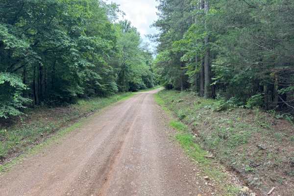
High Shoals Road
This easy gravel route winds through a mix of dense hardwood forest, pines, and small clearings in the Ouachita Mountains. The road is generally well maintained and suitable for most stock vehicles, though travelers should remain alert for occasional narrow sections, including a one-vehicle-wide bri...
Learn more about High Shoals Road
ATV trails near Alpine, Arkansas
Explore ATV-friendly trails near you. These trails are accessible for vehicles up to 50 inches wide, perfect for ATVs and smaller off-road machines.
Bear Creek Trail
Bear Creek Trail is an exceptional offroad trail designed primarily for ATVs and dirt bikes looking to tackle rugged shoreline terrain with scenic views of Lake Greeson and the Ouachita Mountains. This specific 6.3-mile point-to-point segment begins at Daisy State Park and winds along the pine and o...
Learn more about Bear Creek Trail
Hickory Nut Mountain
This maintained Gravel road goes up to Hickory Nut Vista Lookout. As you travel to the vista you will pass Hickory Nut Campground on the left side of the road. This is a dispersed campground with a pit toilet, picnic tables, and a fire ring. Awesome views of Lake Ouachita can be seen. This road does...
Learn more about Hickory Nut Mountain
Pipe Spring
This road leaves Hickory Nut Road at the west end and the east end stops at Crystal Springs Resort entrance. Across the main road is a public boat ramp with restrooms and great views of Lake Ouachita. There are nice dispersed campsites along this road. Awesome creek-side camping and group-sized disp...
Learn more about Pipe Spring
Harvey
This spur route branches off of Hamilton Creek and quickly transitions into a more remote forest setting. Unlike the surrounding gravel roads, this trail is primarily dirt-based with scattered gravel and natural forest debris, giving it a more primitive feel. The route winds through a mixture of har...
Learn more about Harvey
UTV/side-by-side trails near Alpine, Arkansas
Find UTV and side-by-side trails near you. These trails accommodate vehicles up to 60 inches wide, ideal for UTVs, side-by-sides, and wider off-road rigs.
Bear Creek Trail
Bear Creek Trail is an exceptional offroad trail designed primarily for ATVs and dirt bikes looking to tackle rugged shoreline terrain with scenic views of Lake Greeson and the Ouachita Mountains. This specific 6.3-mile point-to-point segment begins at Daisy State Park and winds along the pine and o...
Learn more about Bear Creek Trail
Hickory Nut Mountain
This maintained Gravel road goes up to Hickory Nut Vista Lookout. As you travel to the vista you will pass Hickory Nut Campground on the left side of the road. This is a dispersed campground with a pit toilet, picnic tables, and a fire ring. Awesome views of Lake Ouachita can be seen. This road does...
Learn more about Hickory Nut Mountain
Pipe Spring
This road leaves Hickory Nut Road at the west end and the east end stops at Crystal Springs Resort entrance. Across the main road is a public boat ramp with restrooms and great views of Lake Ouachita. There are nice dispersed campsites along this road. Awesome creek-side camping and group-sized disp...
Learn more about Pipe Spring
Harvey
This spur route branches off of Hamilton Creek and quickly transitions into a more remote forest setting. Unlike the surrounding gravel roads, this trail is primarily dirt-based with scattered gravel and natural forest debris, giving it a more primitive feel. The route winds through a mixture of har...
Learn more about Harvey
The onX Offroad Difference
onX Offroad combines trail photos, descriptions, difficulty ratings, width restrictions, seasonality, and more in a user-friendly interface. Available on all devices, with offline access and full compatibility with CarPlay and Android Auto. Discover what you're missing today!
Open Trail Map