Trail Overview
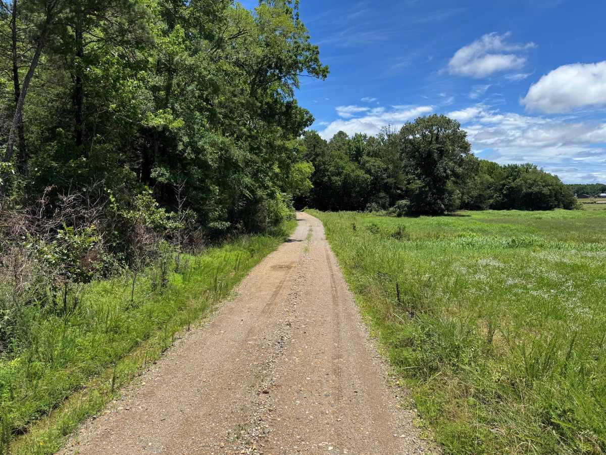
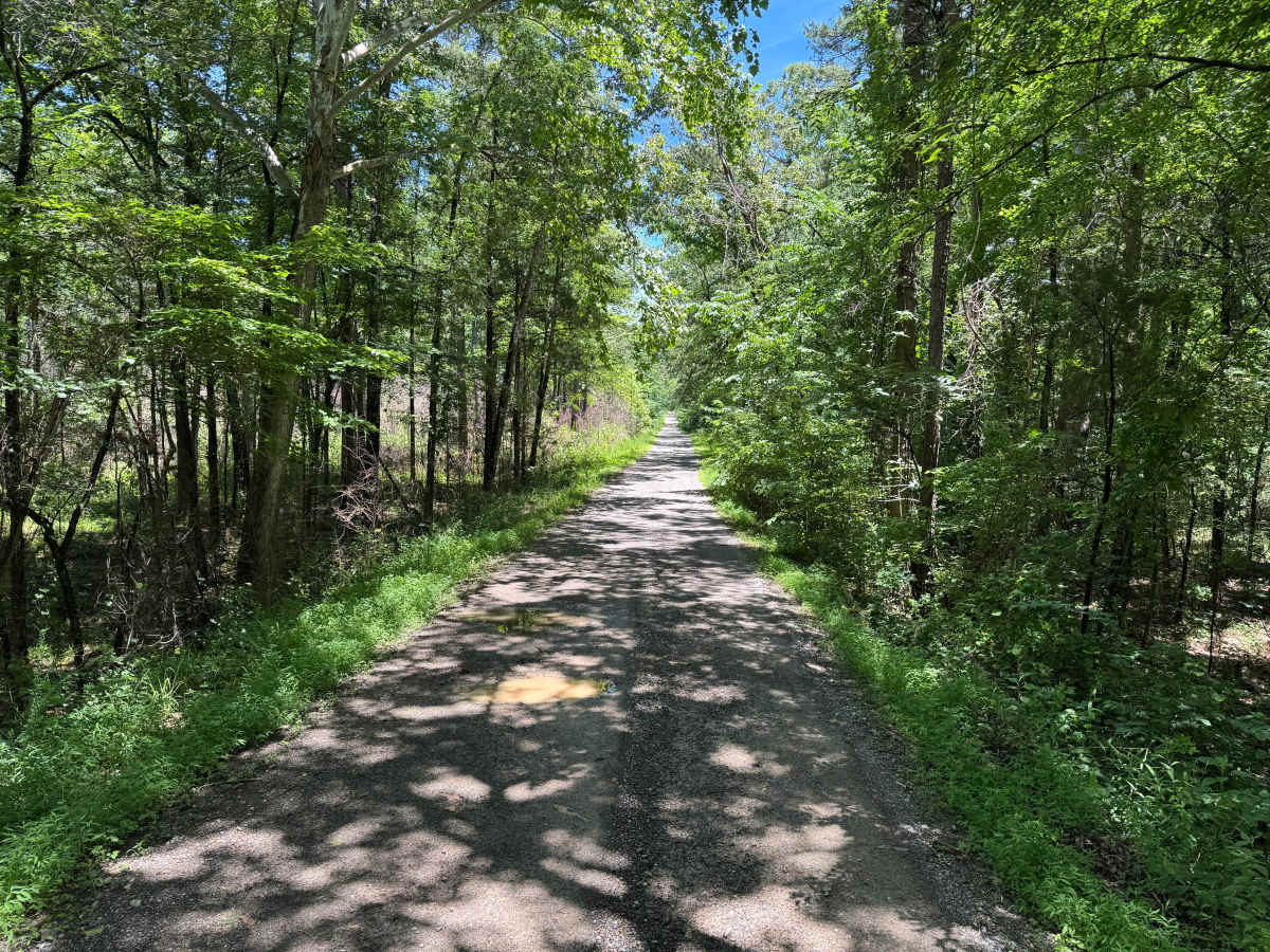
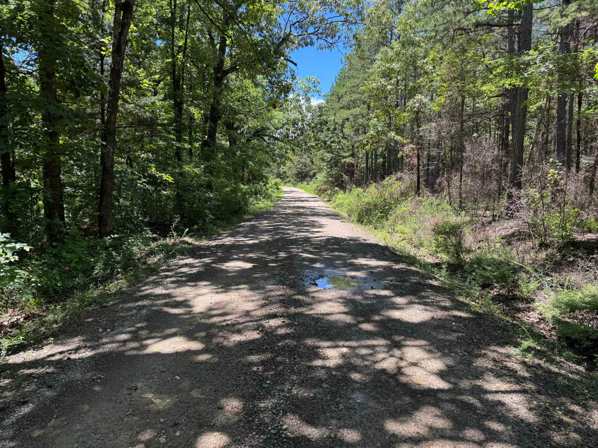
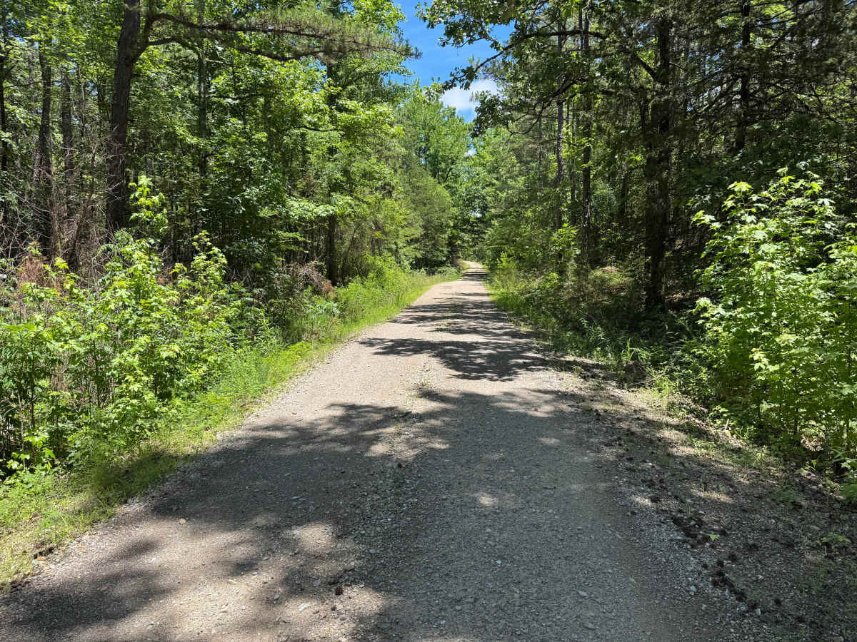
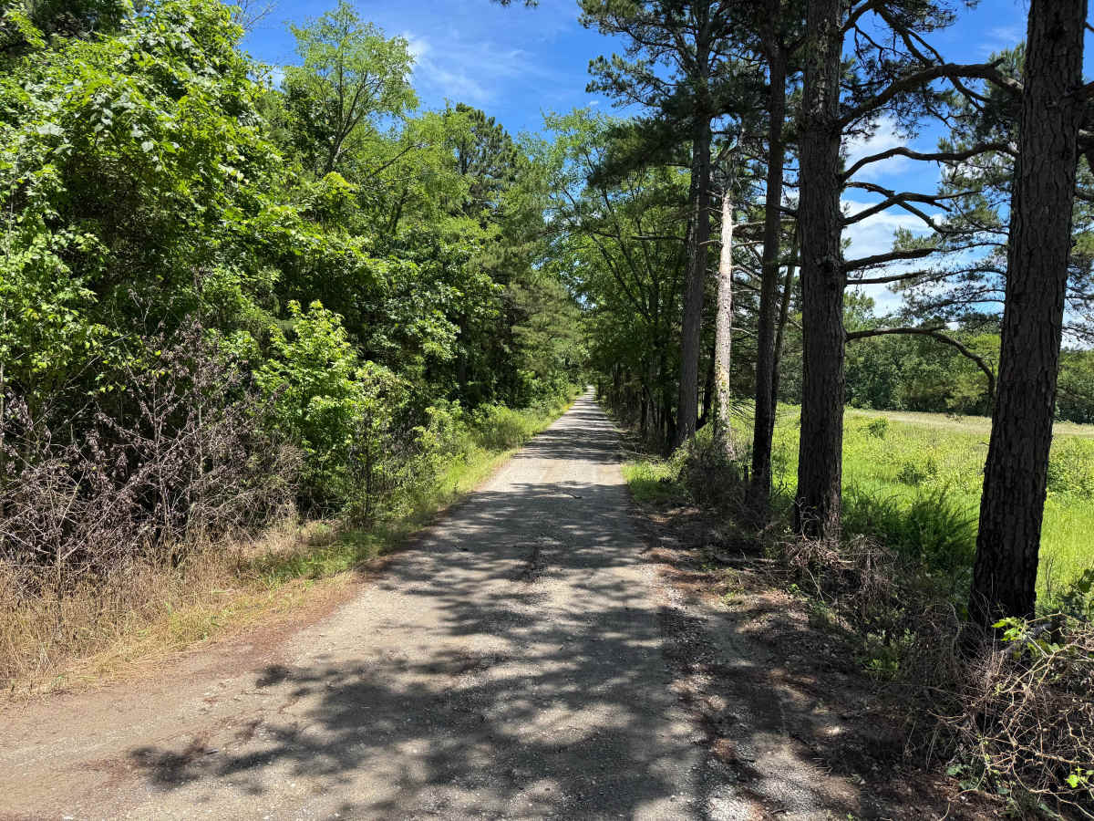
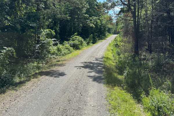
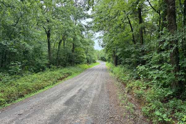
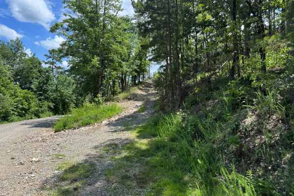
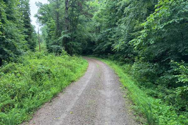
This maintained gravel road provides an easy and relaxing drive through a mix of managed timberland and open clearings. The route winds through dense pine and hardwood forests before transitioning into several open areas that offer a different perspective of the surrounding landscape. Long straightaways beneath a canopy of trees create a scenic corridor, while occasional openings reveal young forestry growth and managed timber tracts. The road surface is generally well-maintained and suitable for any high-clearance vehicle. While the route is wide enough for normal travel, some sections narrow due to vegetation and tree lines along the edge of the road. Passing oncoming vehicles may require slowing down or using wider pull-off areas in these tighter sections. Several side roads and spur routes branch from this main corridor, providing opportunities to further explore the area. Wildlife sightings are possible, particularly deer, armadillos, turtles, and a variety of birds that inhabit the surrounding forest and open fields.There are no major obstacles, technical features, water crossings. The route is best suited for travelers looking for a scenic drive through the forest with access to additional exploration opportunities along the way.
Difficulty
This route presents minimal challenges and is appropriate for virtually any vehicle. The primary consideration is the narrower width in some locations, which may require caution when encountering oncoming traffic. Otherwise, the route is straightforward and obstacle-free.
History
The Ouachita National Forest was established in 1907 and is recognized as the oldest national forest in the southern United States. Many roads found throughout the forest today originated as logging, timber management, fire access, or resource extraction routes before becoming part of the modern Forest Service road network. Forest management remains an important part of the landscape, and travelers may encounter evidence of prescribed burns, timber thinning, and habitat restoration efforts. The Ouachita Mountains themselves are among the oldest mountain ranges in North America and are notable for their unique east-west orientation.