Trail Overview
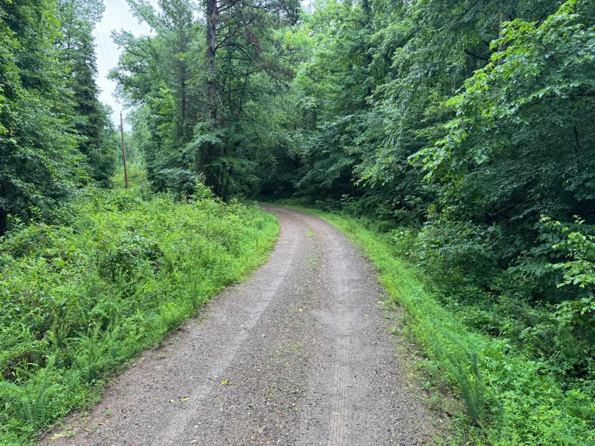
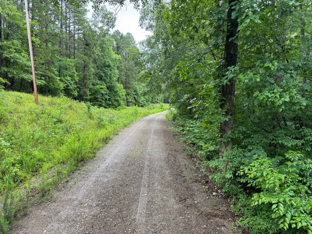
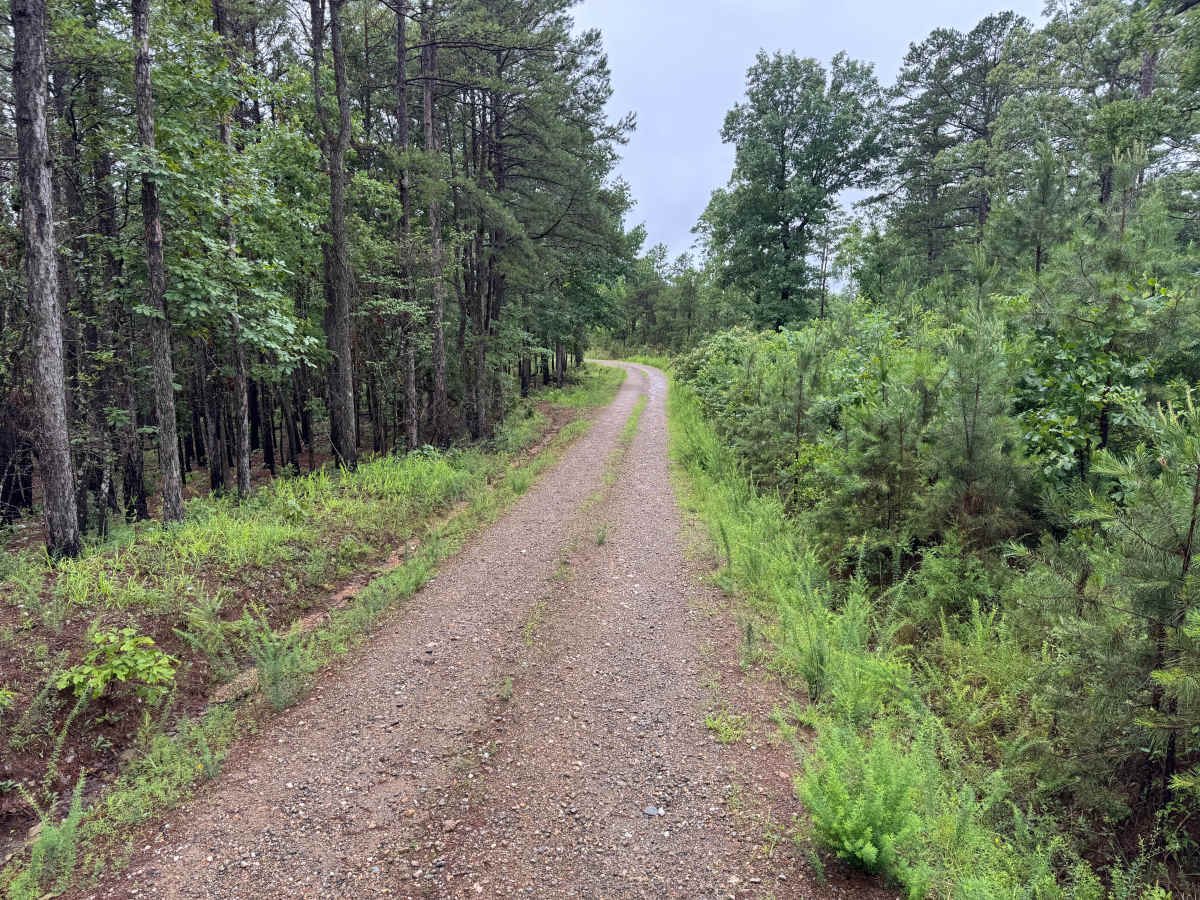
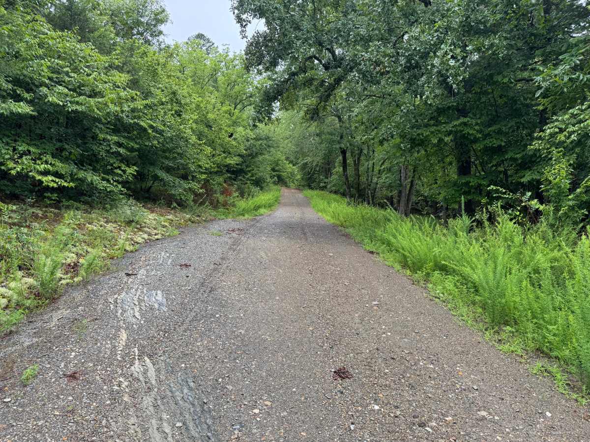
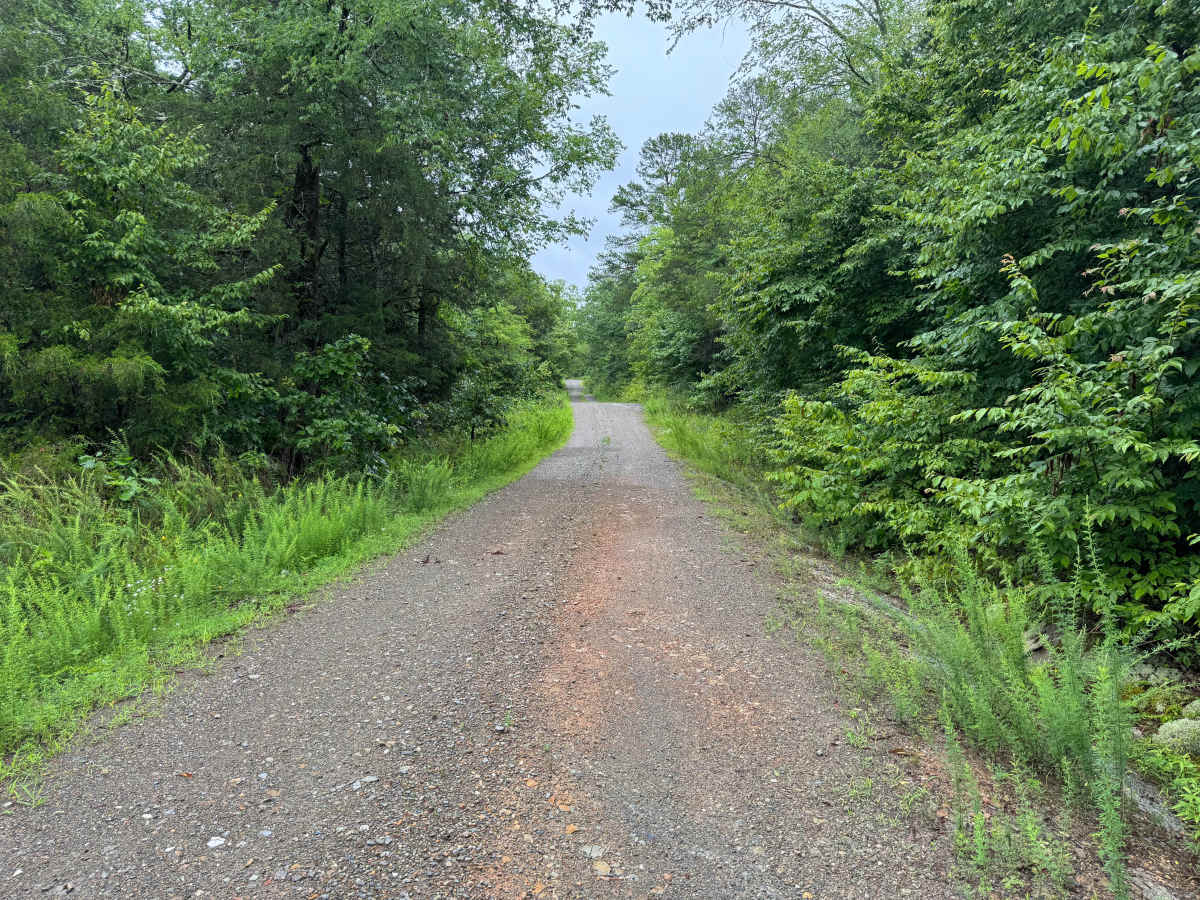
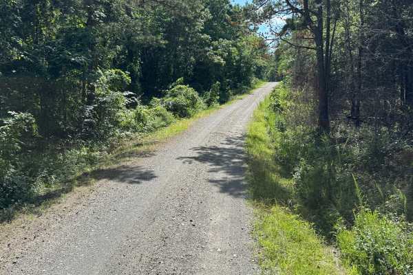
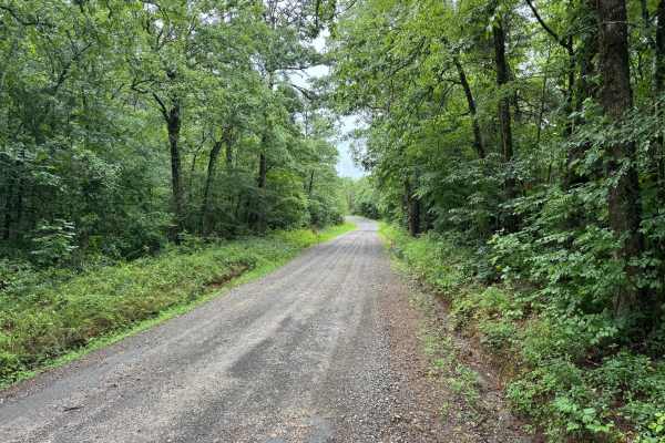
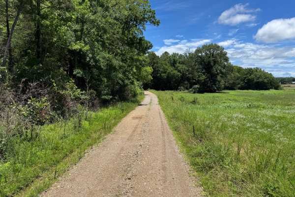
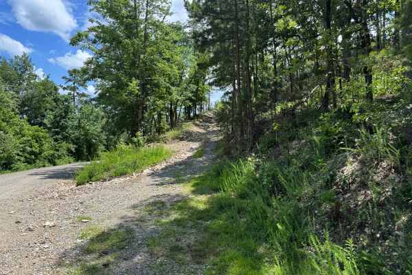
This easy gravel route provides a peaceful drive through a mixture of pine forest, hardwood stands, and regenerating timber areas. The road is generally well maintained and winds through a quiet section of the forest, making it an excellent choice for travelers looking to enjoy the scenery without encountering technical terrain or difficult obstacles. The route is mostly one and a half vehicles wide, allowing room for vehicles to pass comfortably in some locations. The gravel surface is typically smooth and suitable for passenger cars, crossovers, and stock 4WD vehicles. While there are no major obstacles, drivers should remain alert for occasional potholes, washouts after heavy rain, loose gravel on corners, downed trees, and wildlife. One of the highlights of this drive is the abundant wildlife that may be encountered along the way. Turtles frequently cross the roadway, and armadillos are commonly seen in the area. The route eventually terminates near an active mining operation before transitioning back to pavement. Visitors should respect all posted signs, remain on public roads, and avoid entering any restricted industrial areas. Overall, this is a relaxing and scenic route that offers a pleasant break from paved highways while showcasing the natural beauty of the surrounding landscape.
Difficulty
There are no significant obstacles, water crossings, ledges, or technical sections. The route's primary considerations are narrow sections, occasional wildlife, and maintaining awareness near the active mining area at the end of the road.
History
The Ouachita National Forest was established in 1907 and is recognized as the oldest national forest in the southern United States. Many roads found throughout the forest today originated as logging, timber management, fire access, or resource extraction routes before becoming part of the modern Forest Service road network. Forest management remains an important part of the landscape, and travelers may encounter evidence of prescribed burns, timber thinning, and habitat restoration efforts. The Ouachita Mountains themselves are among the oldest mountain ranges in North America and are notable for their unique east-west orientation.