Trail Overview
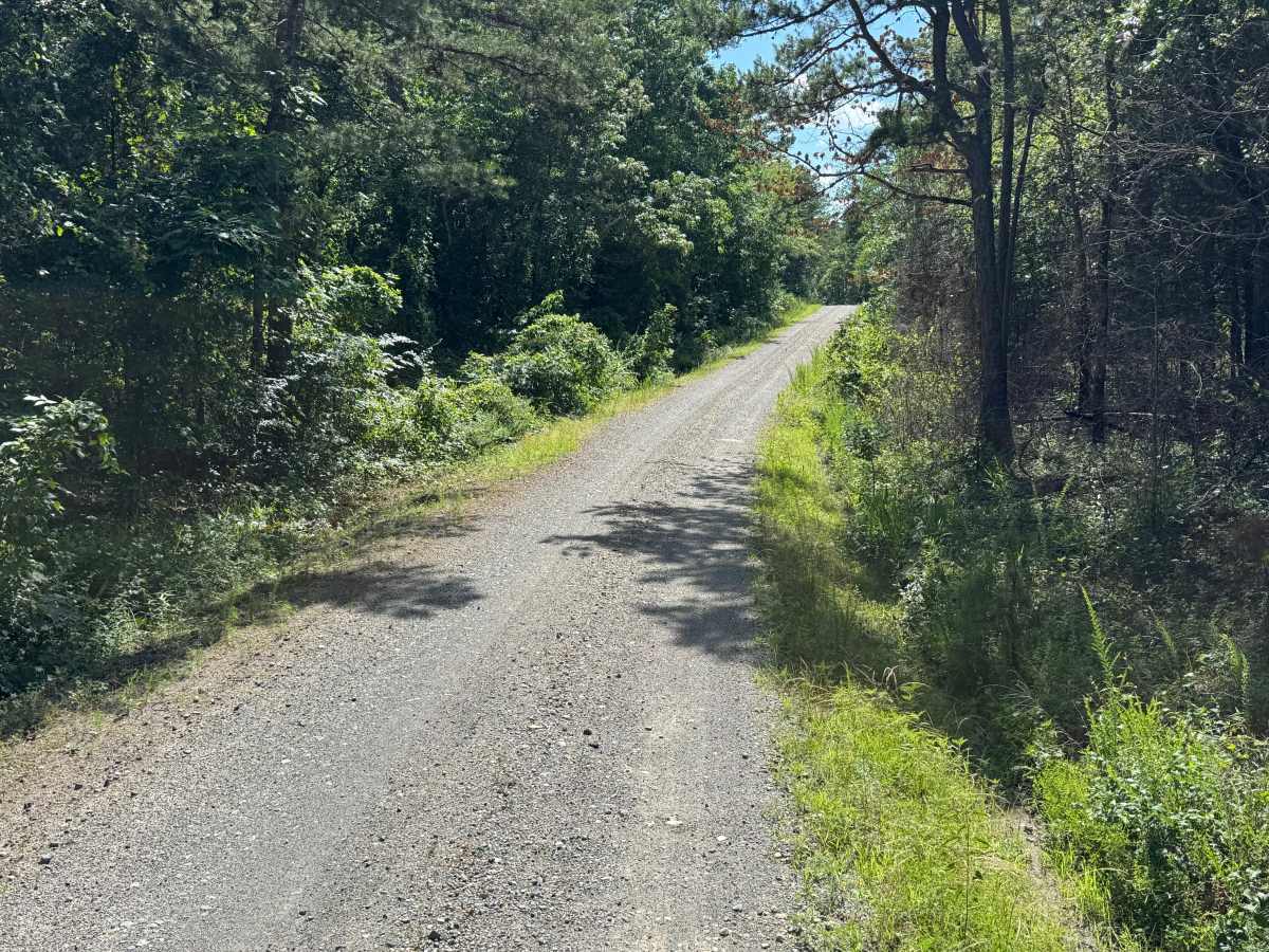
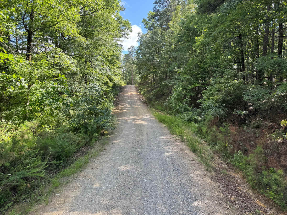
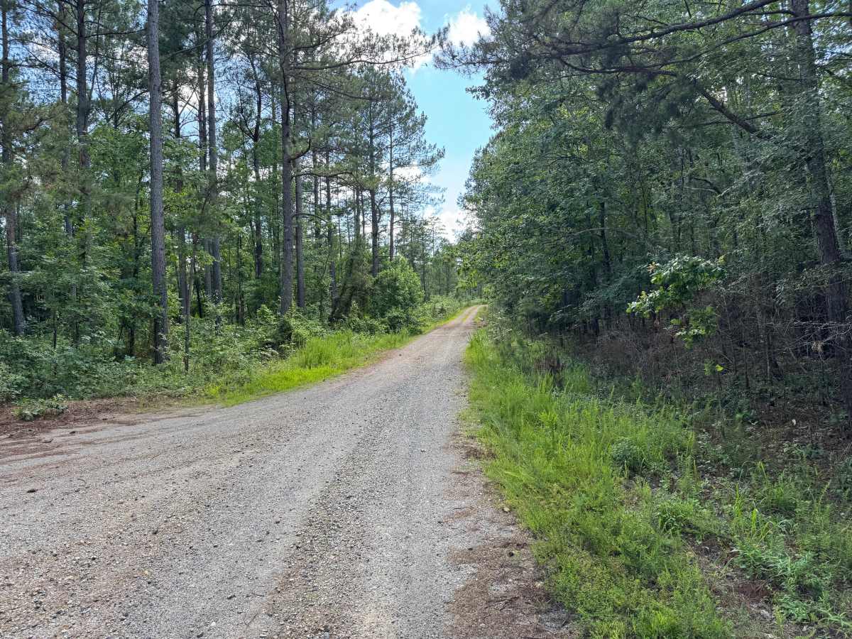
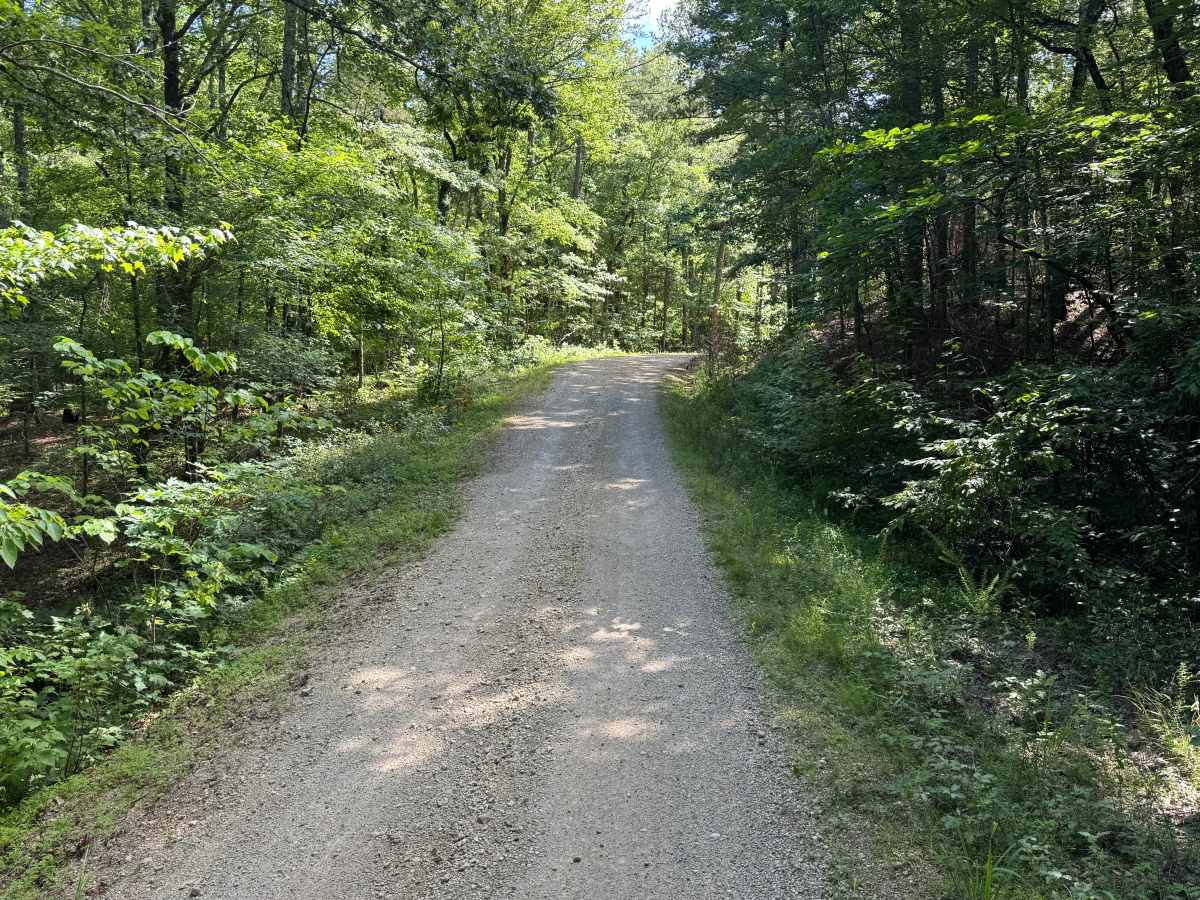
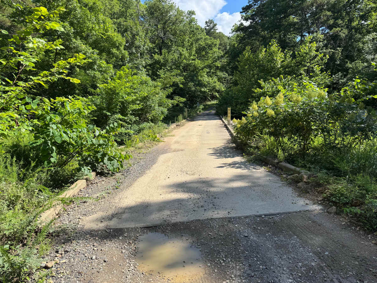
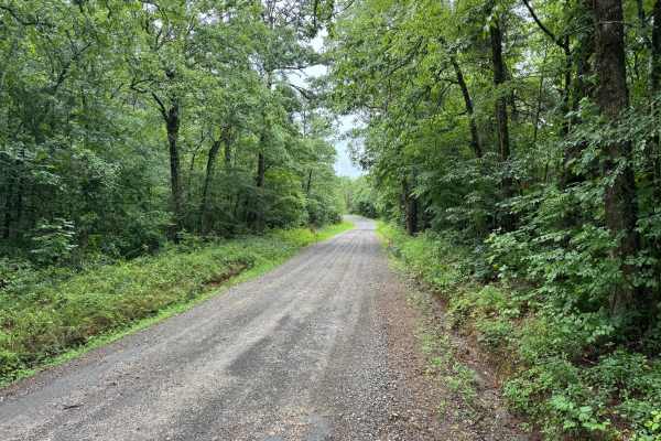
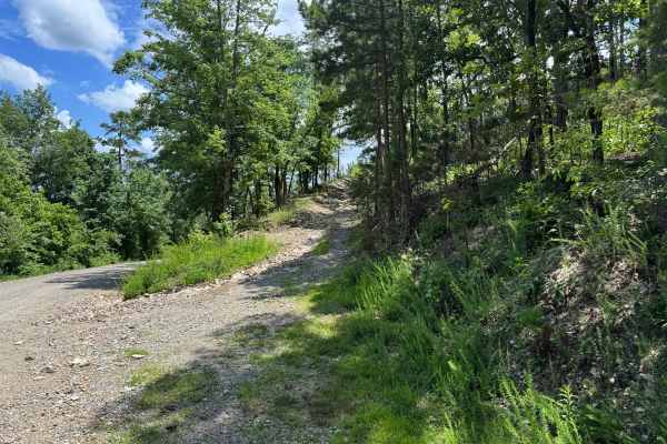
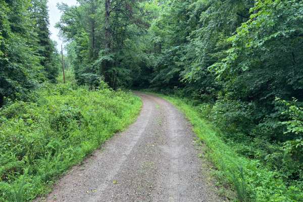
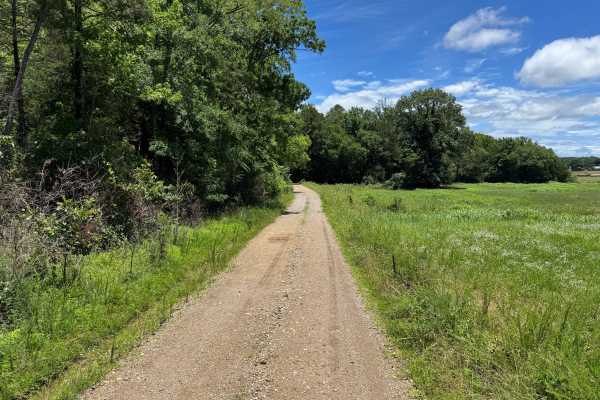
This route provides an enjoyable drive through a heavily wooded section of forest with minimal obstacles and excellent scenery. The route surface is primarily maintained gravel, making it accessible to most vehicles during normal weather conditions. Drivers will encounter rolling hills, sweeping curves, and a mixture of pine and hardwood forest throughout the route. While most of the road remains two vehicles wide, some narrower sections may require yielding to oncoming traffic. Vegetation occasionally encroaches near the route, though pinstriping risk is minimal compared to more primitive routes. Several spur roads branch from the main route, offering additional exploration opportunities. A concrete low-water bridge provides a crossing over one of the area's small streams and serves as a notable point of interest along the drive.
Difficulty
The road is maintained and generally smooth with no significant obstacles. Minor loose gravel, occasional rough spots, and limited narrow sections are the only factors that increase difficulty above a standard paved road.
History
The Ouachita National Forest was established in 1907 and is recognized as the oldest national forest in the southern United States. Many roads found throughout the forest today originated as logging, timber management, fire access, or resource extraction routes before becoming part of the modern Forest Service road network. Forest management remains an important part of the landscape, and travelers may encounter evidence of prescribed burns, timber thinning, and habitat restoration efforts. The Ouachita Mountains themselves are among the oldest mountain ranges in North America and are notable for their unique east-west orientation.

 Offroad