Trail Overview
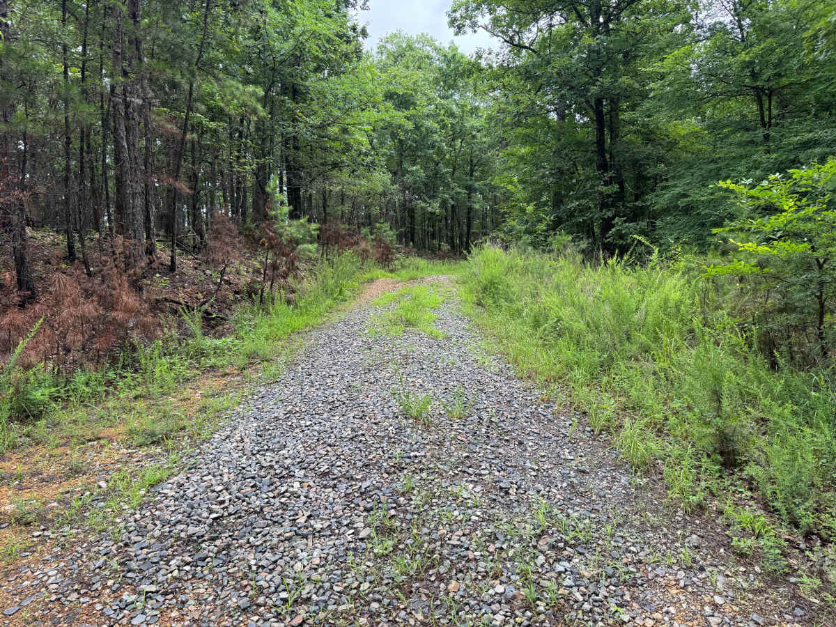
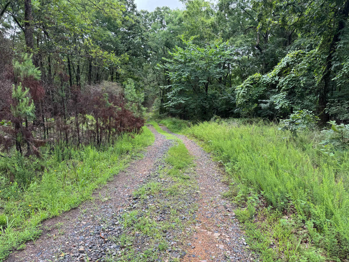
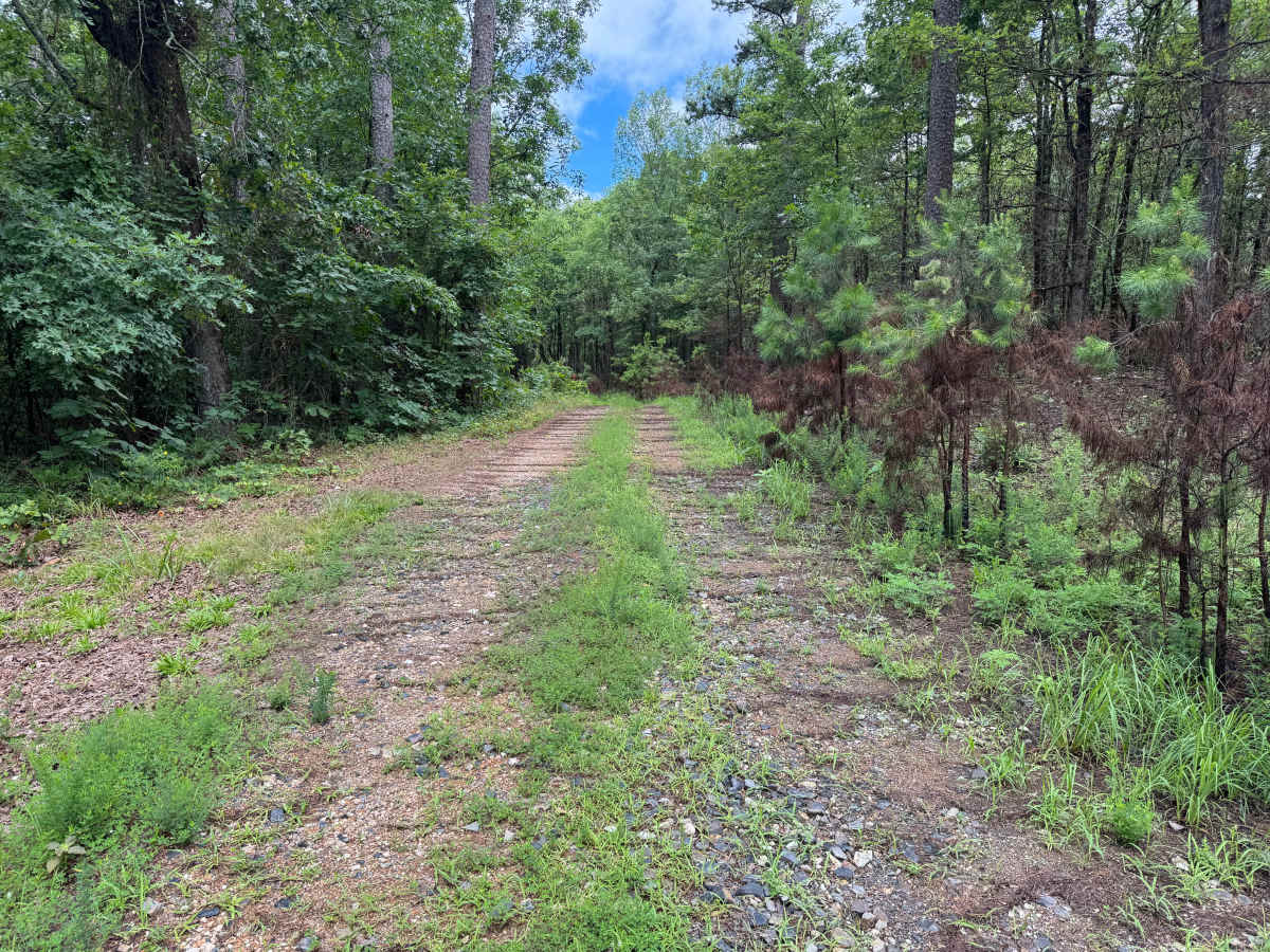
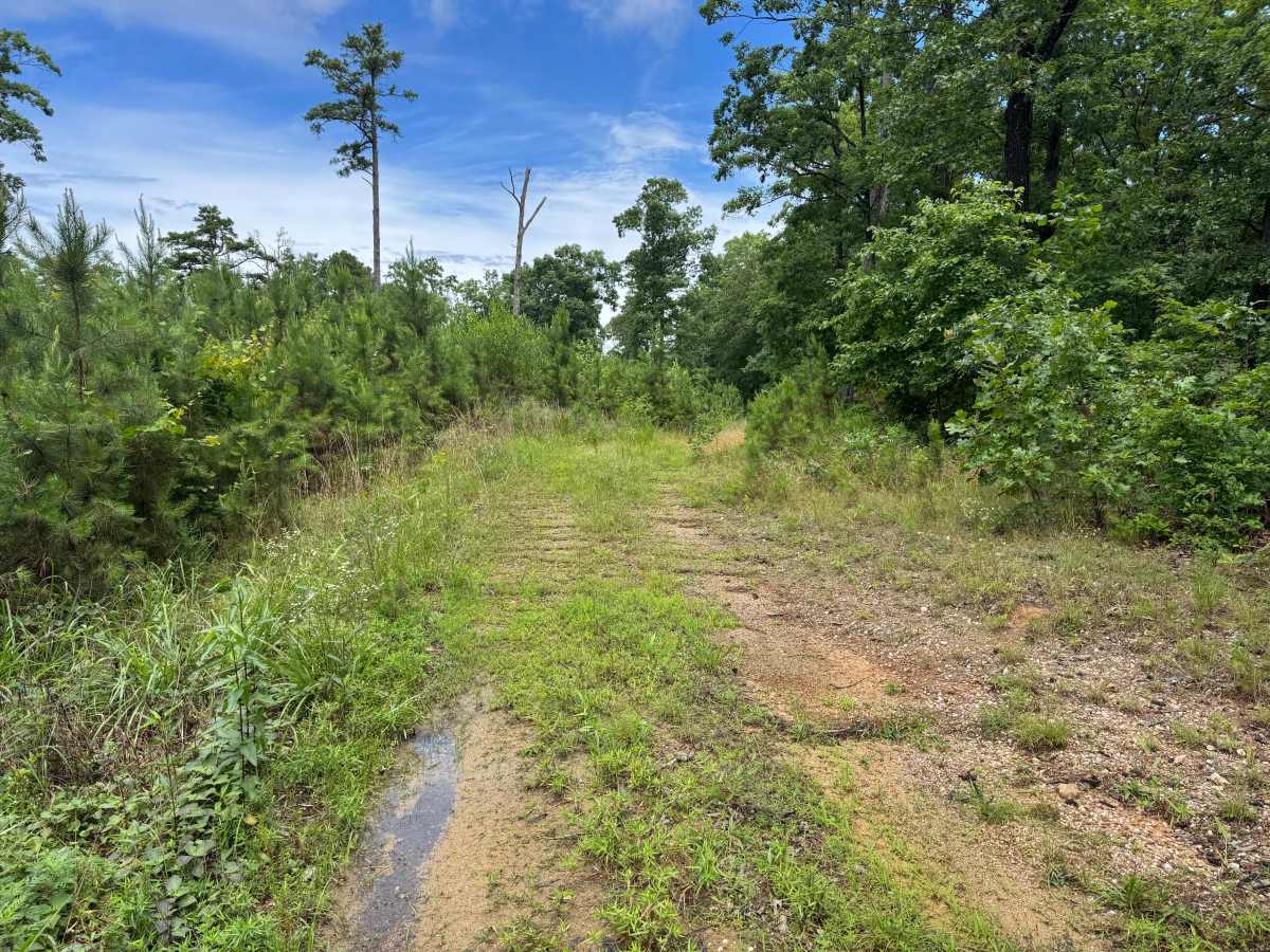
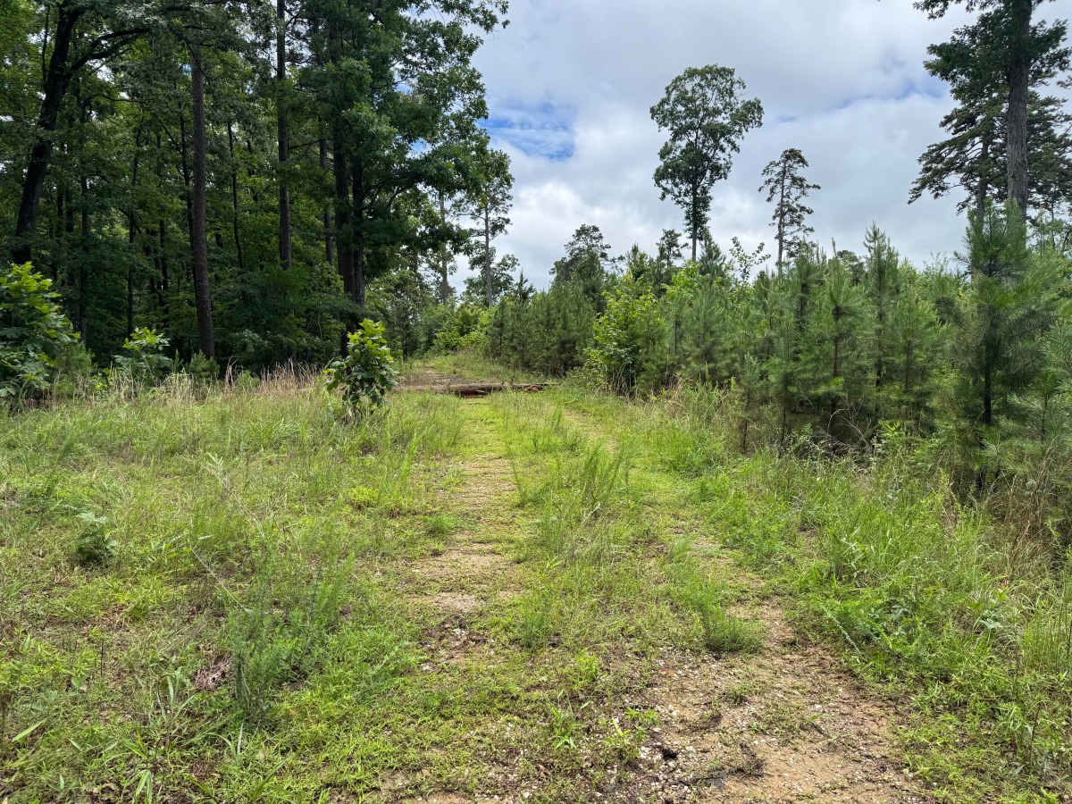
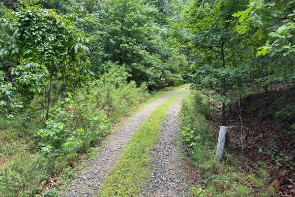
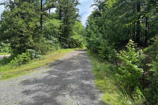
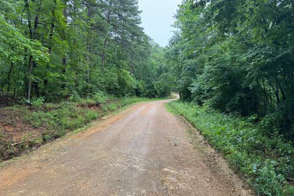
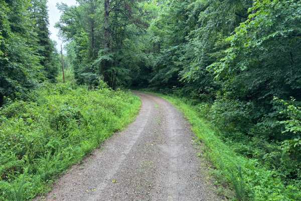
This forest road offers a more rugged experience than the surrounding trail network. While still relatively easy to navigate, the route receives less maintenance and has a noticeably more overgrown character. Grass and other vegetation grow between the tire tracks, and brush frequently encroaches on the route. The route travels through a mixture of mature hardwoods, pines, and regenerating timber. Several sections feature shallow whoops that add variety to the drive without creating significant difficulty. The route alternates between shaded forest corridors and more open sections where younger pines have reclaimed previously disturbed ground. Drivers should expect occasional branches, brush, and narrow sections where vegetation may contact the sides of the vehicle. Pinstriping is possible, especially on wider vehicles. Despite its rougher appearance, there are no major obstacles, technical rock features, steep climbs, or difficult crossings. The route remains suitable for most stock four-wheel-drive vehicles and high-clearance SUVs. This route is best suited for those looking to experience a quieter and more natural section of forest while enjoying a slightly more adventurous drive than the area's maintained gravel roads.
Difficulty
While rougher and less maintained than nearby roads, the route contains no significant obstacles. The primary challenges are the overgrown trail corridor, shallow whoops, and the potential for vegetation contact. Most stock four-wheel-drive vehicles can complete the route without difficulty.
History
The Ouachita National Forest was established in 1907 and is recognized as the oldest national forest in the southern United States. Many roads found throughout the forest today originated as logging, timber management, fire access, or resource extraction routes before becoming part of the modern Forest Service road network. Forest management remains an important part of the landscape, and travelers may encounter evidence of prescribed burns, timber thinning, and habitat restoration efforts. The Ouachita Mountains themselves are among the oldest mountain ranges in North America and are notable for their unique east-west orientation.

 Offroad