Trail Overview
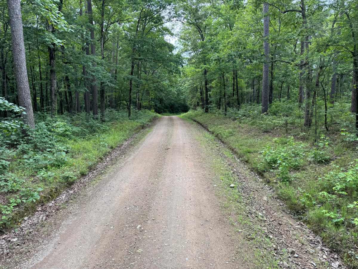
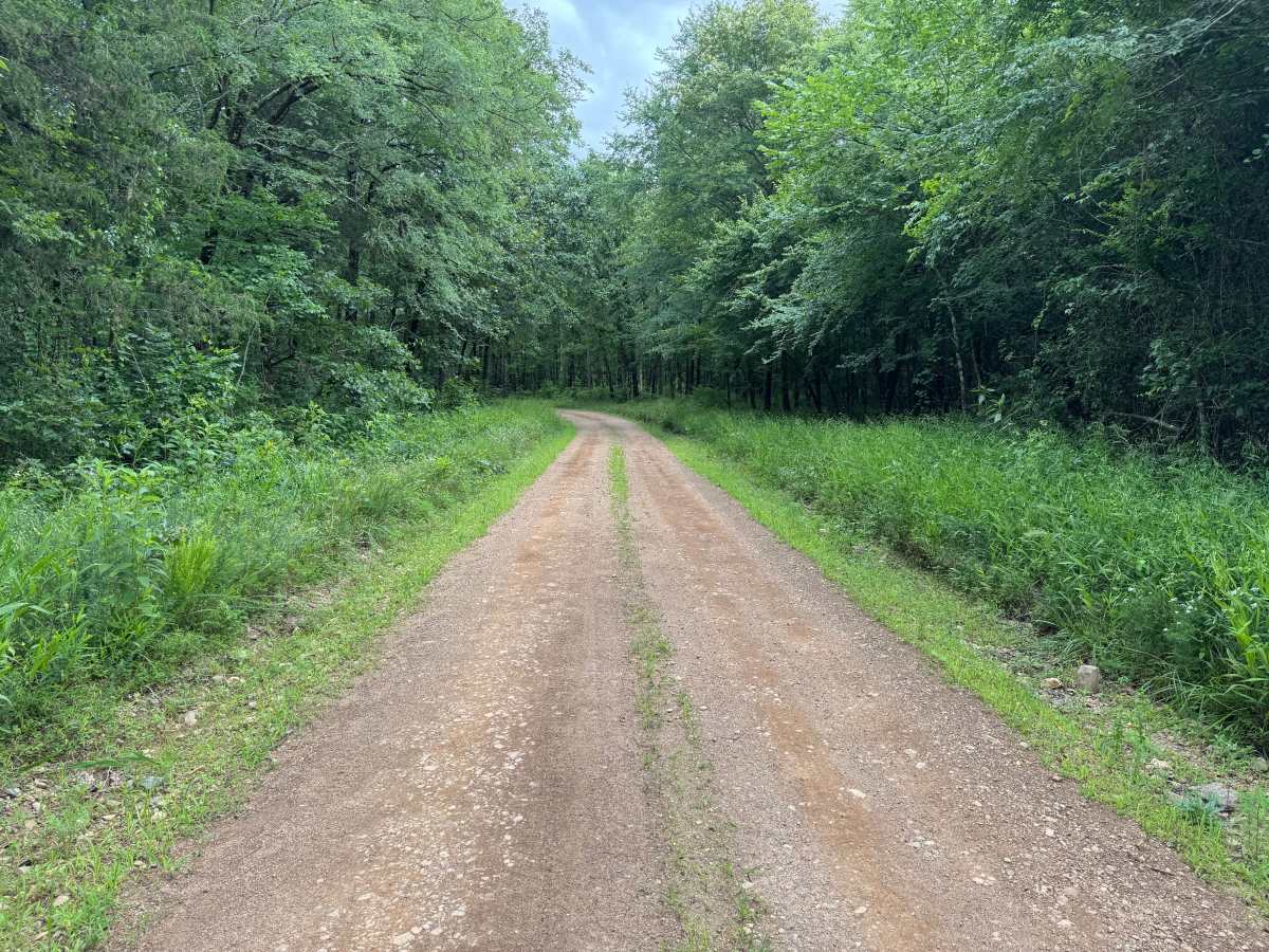
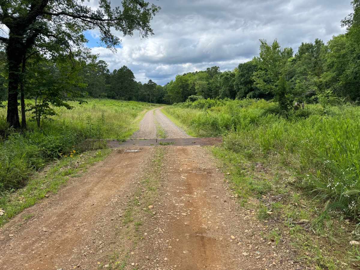
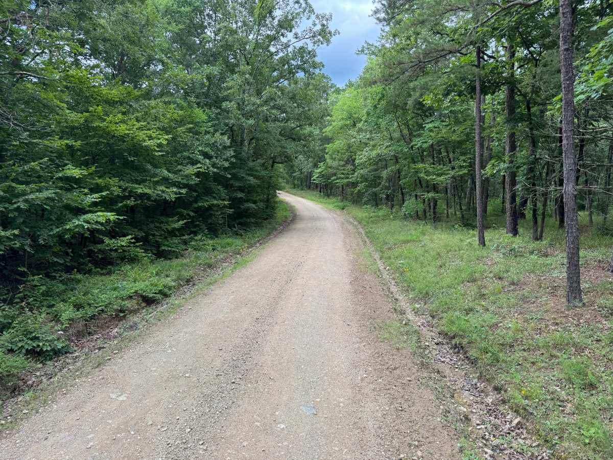
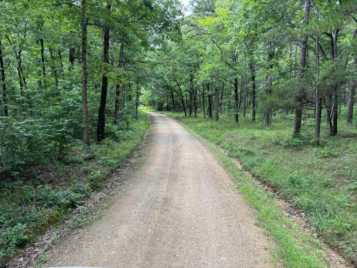
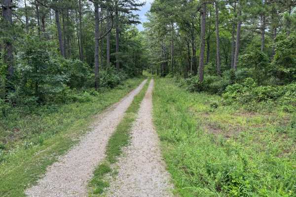
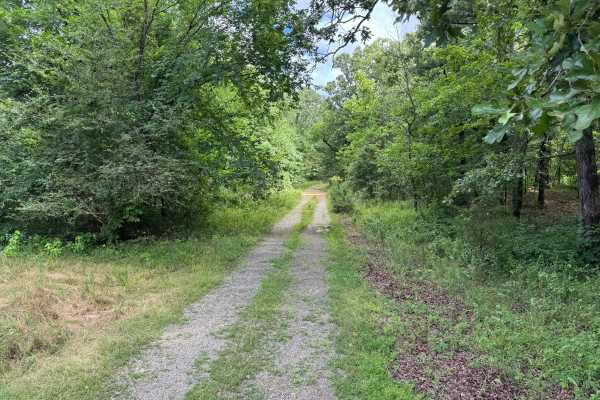
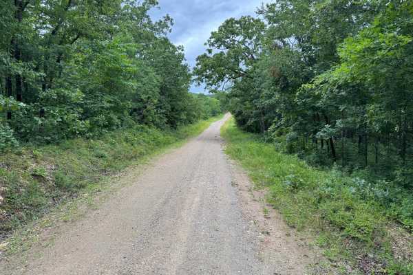
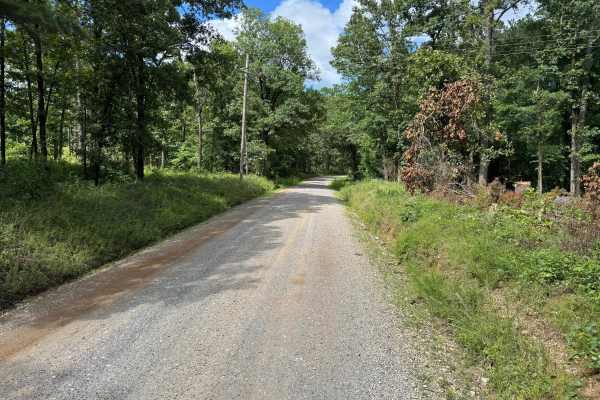
This scenic forest road winds through a mix of mature hardwoods, pines, and open clearings before ending at a quiet recreation area. The route follows a well-maintained gravel surface that is generally smooth and easy to navigate, making it suitable for nearly any vehicle. Along the way, travelers will experience changing scenery as the dense forest periodically opens into grassy meadows and prairie-like sections that provide wider views of the surrounding landscape. The road is approximately one-and-a-half vehicles wide for most of its length, allowing occasional passing opportunities but requiring awareness of oncoming traffic in narrower sections. Several puddles and low spots can hold water after rainfall, with some being deeper than they initially appear. The route concludes at a recreational area that offers convenient access to outdoor activities; however, there is no camping allowed here. Visitors will find a vaulted toilet, parking areas, and easy access to nearby fishing opportunities, making this an excellent destination for a relaxing drive, picnic, or day spent outdoors.
Difficulty
This route presents very few challenges and is appropriate for beginner drivers and stock vehicles. The only notable considerations are occasional deeper puddles, limited road width in some areas, and the potential for muddy conditions following heavy rain.
History
The Ouachita National Forest was established in 1907 and is recognized as the oldest national forest in the southern United States. Many roads found throughout the forest today originated as logging, timber management, fire access, or resource extraction routes before becoming part of the modern Forest Service road network. Forest management remains an important part of the landscape, and travelers may encounter evidence of prescribed burns, timber thinning, and habitat restoration efforts. The Ouachita Mountains themselves are among the oldest mountain ranges in North America and are notable for their unique east-west orientation.