Enhance Your Off-Roading Adventures with onX Offroad’s Recent Imagery Feature
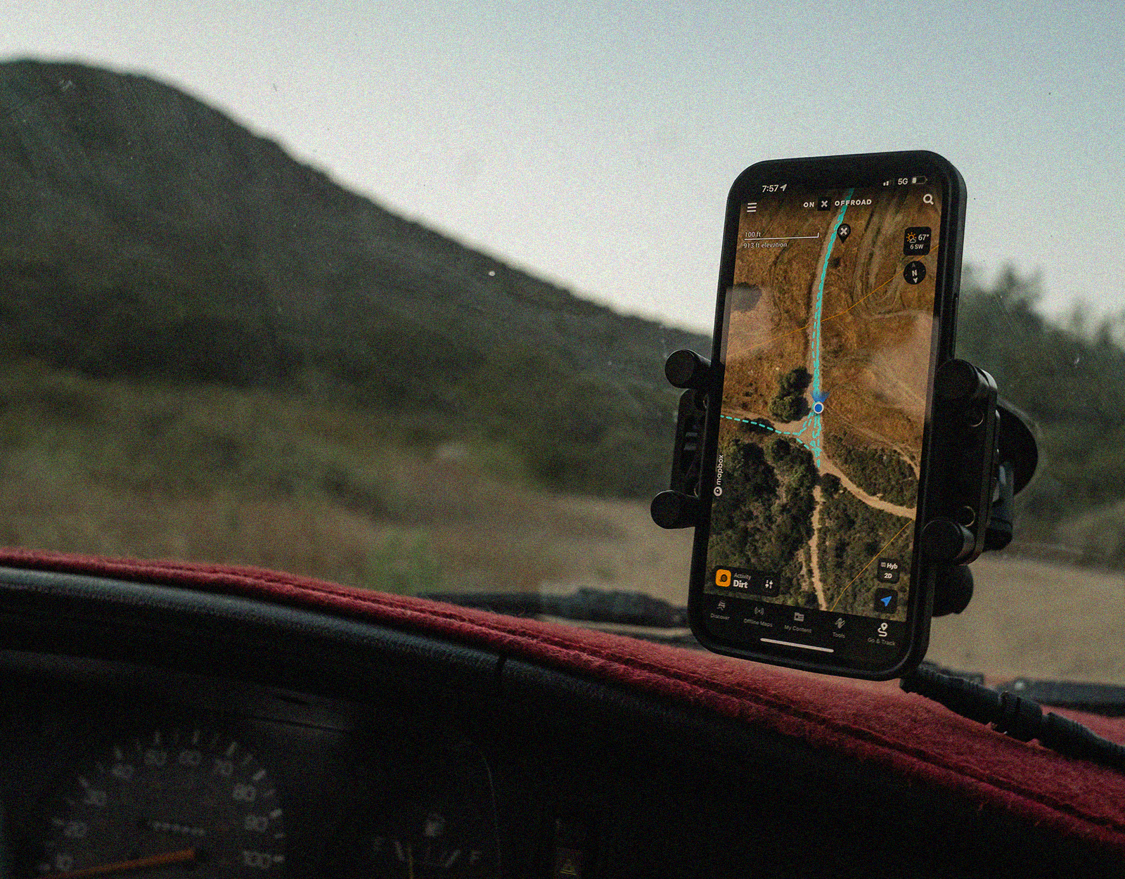
Navigate the trails through every season with the onX Offroad app‘s Recent Imagery feature. This innovative addition unlocks a real-time visual exploration of trails, ensuring off-roaders are well-informed and prepared for the adventures that lie ahead. With satellite imagery that refreshes every two weeks, the Recent Imagery layer gives off-roaders the tools to compare terrains over time, monitor seasonal changes like snow lines or muddy trails, and plan safe and effective routes for every experience level.
Comparing Terrains Over Time
The Recent Imagery feature, with its bi-weekly updates, enables off-roaders to compare terrains over time effortlessly. This is crucial in understanding how trails evolve with seasonal changes or due to natural occurrences. For example, observing the impact of rainfall on a particular trail can help gauge its difficulty, ensuring you’re equipped for the adventure ahead. By comparing historical and recent imagery, you get a clear picture of trail conditions, aiding in choosing the right trails that match your skill and equipment. This feature significantly enhances preparedness, ensuring a safer and more enjoyable off-roading experience.
See aerial maps and real-time trail conditions
Try Recent Imagery and unlock all of Elite’s exclusive tools and benefits with a 7-day credit-card-free trial.
Real-time Monitoring of Trails
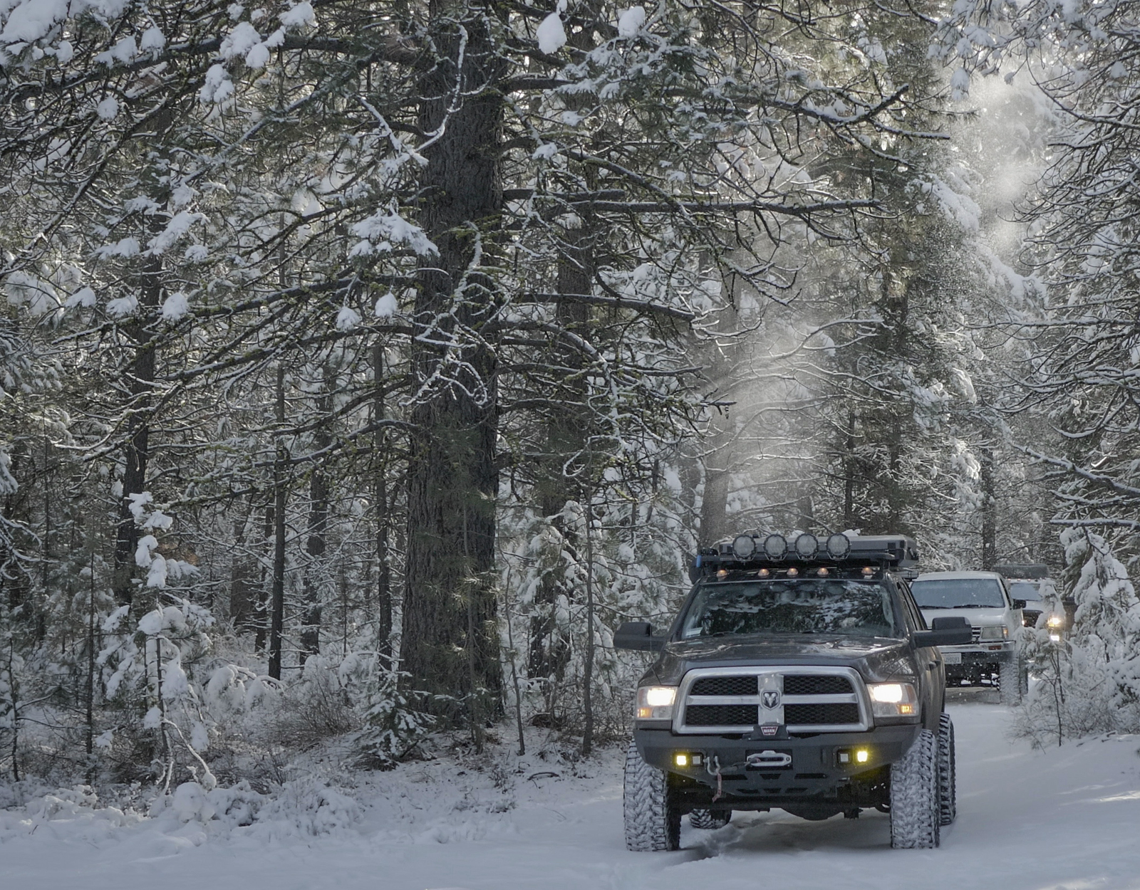
The Recent Imagery feature is a boon for off-roaders, especially during transitional seasons like spring and fall. In spring, as snow melts, it’s vital to know the extent of snow cover remaining on trails. This feature allows users to monitor snow lines, aiding in planning trips accordingly. Come fall, trails can get muddy and slippery. The imagery helps in identifying muddy areas, enabling off-roaders to take precautionary measures, choose alternative routes, or prepare with appropriate gear. Real-time monitoring empowers off-roaders with crucial information to navigate trails safely, avoiding unexpected hurdles, and ensuring an enjoyable off-roading adventure irrespective of the season.
Evaluating Snow Pack
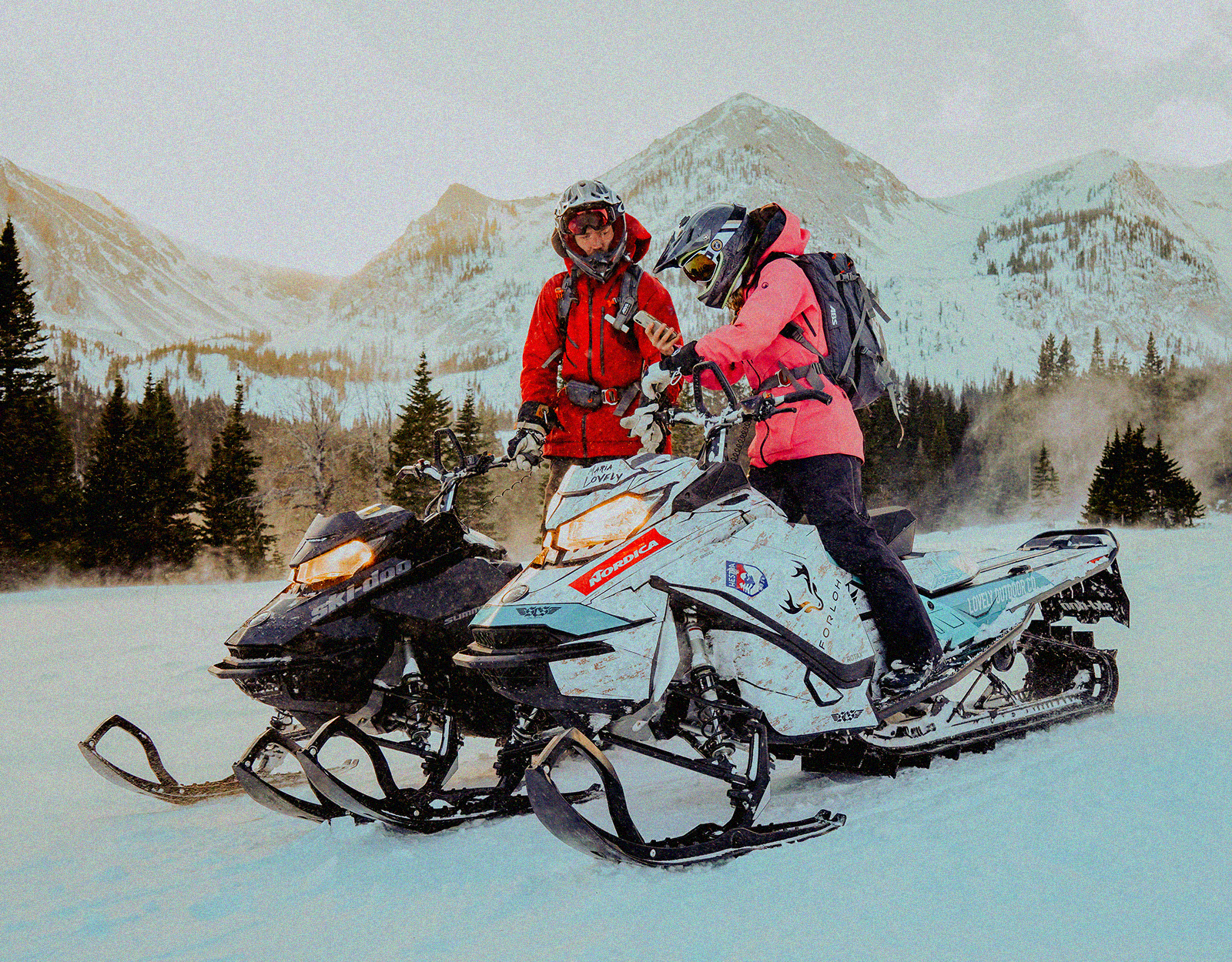
For snowmobilers, venturing into the backcountry demands a clear understanding of snowpack conditions. The Recent Imagery feature becomes an indispensable tool, providing updated imagery to evaluate snow cover. Before heading out, snowmobilers can assess the depth and extent of snow, aiding in selecting trails that promise a thrilling yet safe ride. Furthermore, understanding snow conditions helps in avoiding areas prone to avalanches or other snow-related hazards. With the Recent Imagery feature, snowmobilers are better informed, making the backcountry exploration both thrilling and safe.
Discovering New Trails
onX Offroad app is a treasure trove for trail enthusiasts, and the Recent Imagery feature further enriches this experience by unveiling new, undiscovered terrains. The updated imagery provides a glimpse into trails that are less traveled or newly formed, inviting off-roaders to explore fresh landscapes. It’s like having a constantly updated map that not only shows you the trails but also the current conditions of those trails, making the onX Offroad app an invaluable companion for adventurers seeking to discover new trails. With every update, a new potential adventure awaits, encouraging users to venture into new horizons with confidence.
Using the onX Recent Imagery Feature
This feature is only available for onX Offroad Elite Members.

In App
- Tap the Basemap button in the lower right corner of the map.
- Toggle the slider on next to “Recent Imagery.”
- Return to the map to view the advanced aerial imagery and scout the terrain.
- On the bottom left of the map, the dark grey bar above the Activity Mode shows the date range of the imagery.

On Desktop
- Click the Basemap Button in the lower right corner of the map.
- Toggle the slider on next to “Recent Imagery.”
- Choose “Add Content,” pan your map, add Routes, Waypoints, and Tracks.
- Select a Folder from your content to access, edit, and share.
- Hide content on the map by selecting a Folder and checking “Hide on map.”
Try Out Recent Imagery—Only With Elite
The Recent Imagery feature on the onX Offroad app is a game-changer for trail enthusiasts. It’s not just about discovering new trails; it’s about embarking on adventures with a wealth of knowledge at your fingertips. The safety and exploration possibilities it unfolds are boundless. Every update brings a promise of new discoveries, safer journeys, and thrilling adventures. Don’t just take our word for it; dive into the onX Offroad app, explore the Recent Imagery feature, and see the myriad ways it can transform your off-roading experiences. Your next unforgettable adventure is just a glimpse away!
Get recent imagery with onx offroad
Try Recent Imagery and unlock all of Elite’s exclusive tools and benefits with a 7-day credit-card-free trial.