
Beginner Off-Road Trails
Near State College, Pennsylvania
Explore All Beginner Trails Near State College, Pennsylvania
Beginner Off-Road Trails Near State College, Pennsylvania
Discover the best beginner-friendly off-road trails near you. These easier, lower-rated trails are a great place to start — browse trail maps, check difficulty ratings, and find your next adventure.
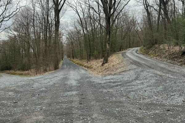
Kepler Road
This is an easy gravel mountain road through Rothrock State Forest. It can be accessed from Route 26 when first entering the State Forest, or from Colerain Picnic Area off Route 45. Numerous pull-offs and very thick forests add to this peaceful ride through the State Park.
Learn more about Kepler Road
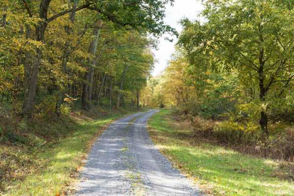
Pine Swamp Road
Pine Swamp Road is a well-maintained gravel trail in Rothrock State Forest. The trail climbs to a saddle before descending. The trail passes a few private cabins as it traverses a forest of deciduous trees, rhododendrons, and small creeks. The spring rhododendron bloom and fall foliage are especiall...
Learn more about Pine Swamp Road
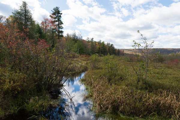
Bear Meadows Road
Bear Meadows Road is a well-maintained gravel trail through Rothrock State Forest. The trail passes along the Bear Meadows Natural Area before climbing to a ridge and descending to Alan Seeger Natural Area. The trail passes multiple hiking trailheads, private cabins, and other off-road trails as it ...
Learn more about Bear Meadows Road
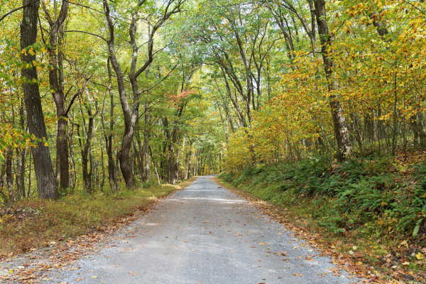
Laurel Run Road
Laurel Run Road is a well-maintained gravel trail through Rothrock State Forest. The trail climbs a series of switchbacks to a ridge before descending and entering Whipple Dam State Park. The trail passes multiple hiking trailheads, private cabins, and other off-road trails as it traverses a forest ...
Learn more about Laurel Run Road
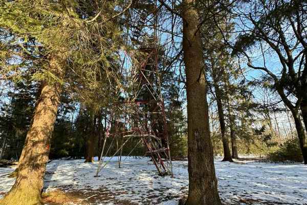
Little Flat Tower Road
Little Flat Tower Road is a newly designated out-and-back drivable trail in Bald Eagle State Forest. Even though it is a short drive, it leads to a beautiful historic cabin and fire tower. From the beginning at Laurel Run Road, it is a constant climb in elevation until you reach the end at the cabin...
Learn more about Little Flat Tower Road
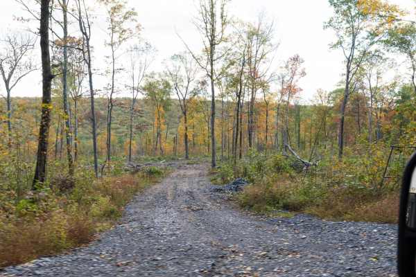
Harry's Valley Road
Harry's Valley Road is a well-maintained gravel trail in Rothrock State Forest. The trail climbs to a saddle before descending. The trail passes a few private cabins as it traverses a forest of deciduous trees, rhododendrons, and small creeks. The spring rhododendron bloom and fall foliage are espec...
Learn more about Harry's Valley Road
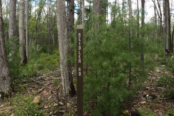
Beidler Road
Beidler Road is a dirt road with some mild, graded slopes. The trail is an in-and-out within Rothrock State Forest. The trail is within the mountainside of Laurel Run Road and exits Route 541. The forest on either side is big timber and ferns, and 2 parking areas to unload a mountain bike. The trail...
Learn more about Beidler Road
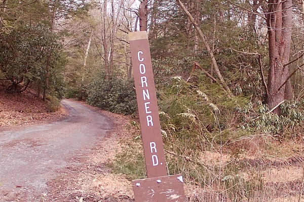
Corner Road
Corner Road is a typical graded gravel state forest road within Rothrock State Forest. The trail is up and back due to private land with a gate. The trailhead is off Bear Meadows Road. A flowing brook runs parallel to the trail. There are some hunting cabins set off from the trail. There is an abund...
Learn more about Corner Road
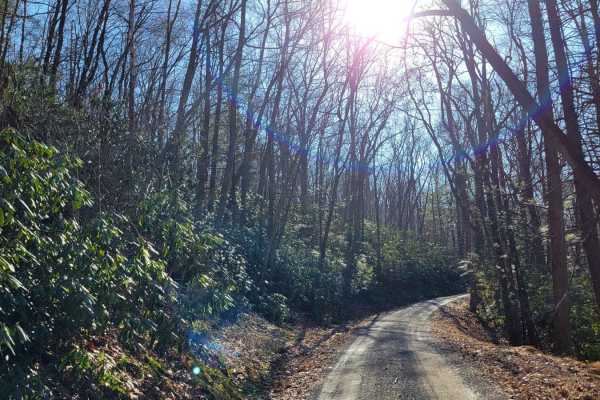
Treasure Kettle Trail
The Treasure Kettle Trail runs East to West through Rothrock State Forest in Pennsylvania. This road offers a scenic and easy drive along Tussey Ridge. While there are no motorized campsites on this trail, there are numerous hiking trails with backpack camping opportunities. The Bear Meadows Natural...
Learn more about Treasure Kettle Trail
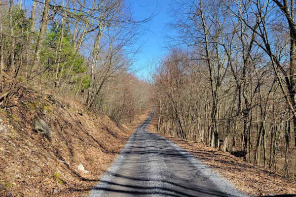
Beidleheimer Trail
The Beidleheimer Trail runs East to West through Rothrock State Forest in Pennsylvania. This road offers a pleasant and easy drive along Bell Ridge. While there are no motorized campsites on this trail, Bear Meadows Road connects to the East with one motorized campsite. Whipple Dam State Park is a s...
Learn more about Beidleheimer Trail
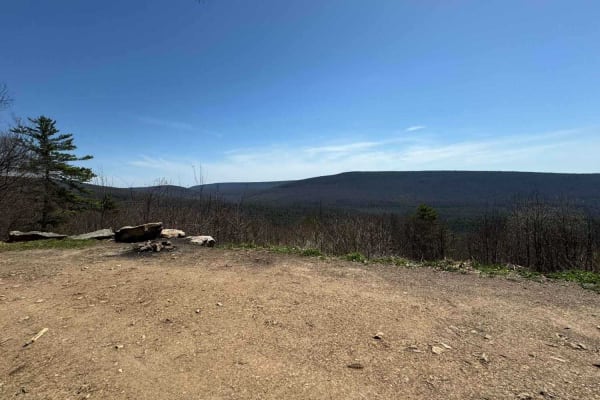
Gettis Ridge/Wampler Road
Embark on an adventure along the drivable trail of Gettis Ridge Road and Wampler Road. These two roads seamlessly blend into one, leading you into the heart of Rothrock State Forest. With rocks, water holes, and stunning valley views, every moment promises to be memorable. Gettis Ridge Road offers a...
Learn more about Gettis Ridge/Wampler Road
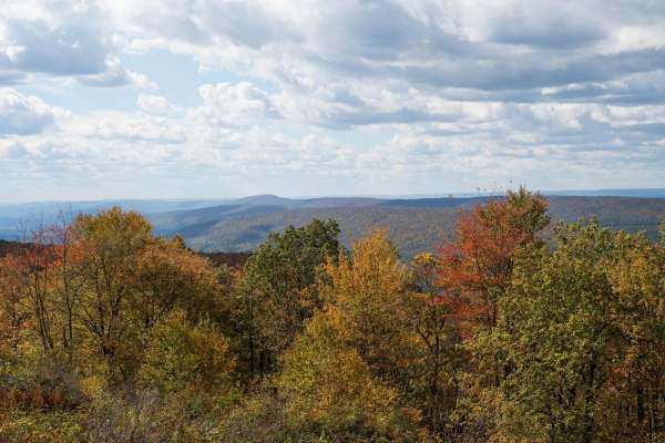
Greenlee Road
Greenlee Road is a well-maintained gravel trail in Rothrock State Forest. The trail climbs to a ridge with a vista view of the surrounding forest. The trail passes a hiking trailhead and a private cabin as it traverses a forest of deciduous trees, rhododendrons, and small creeks. The spring rhododen...
Learn more about Greenlee Road
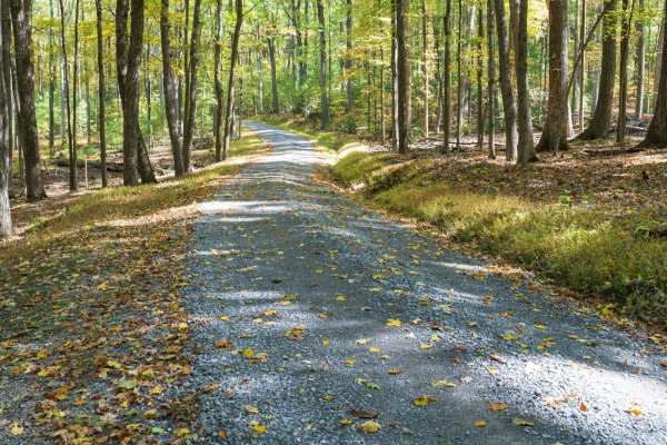
Alan Seeger Road
Alan Seeger Road is a maintained gravel trail through Rothrock State Forest. The trail starts at the Alan Seeger Natural Area climbing a steep narrow trail to the top of Broad Mountain. The trail traverses a forest of deciduous trees, pine, mountain laurel, and rhododendron. The spring bloom and fal...
Learn more about Alan Seeger Road
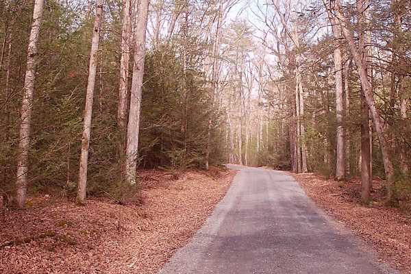
Stone Creek Road
Stone Creek Road resides near the Alan Seeger Road and park with Pavilions. This road ties into Coopers Gap Road. There is plenty of parking, especially at the trailhead and end of this trail. The Trail is an in-and-out, typical graded gravel trail within Rothrock State Forest. Two hiking trails off...
Learn more about Stone Creek Road
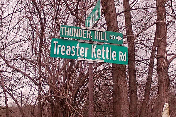
Treaster Kettle road
Treaster Kettle Road is a typical graded gravel road within Rothrock State Forest. The trail is an in and out trail, with the trailhead off highway 604 and run into Treasure Kettle Trail. A side trail is Thickhead Road at the exit of Treaster Kettle Road. There are two hiking trails, the Bailout Tra...
Learn more about Treaster Kettle road
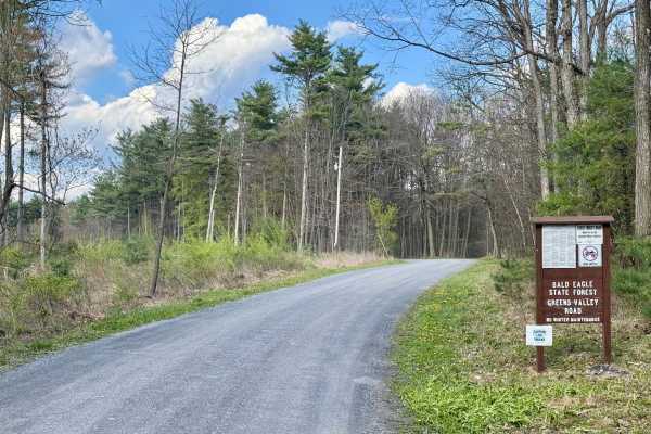
Greens Valley Road
A standard out-and-back gravel Pennsylvania state forest road. It is scenic and peaceful. During the fall and early winter, the gate at the end of this road is open, giving access to an additional mile of forest road, but beyond that, the bridge is out and is unlikely to be replaced. This road offer...
Learn more about Greens Valley Road
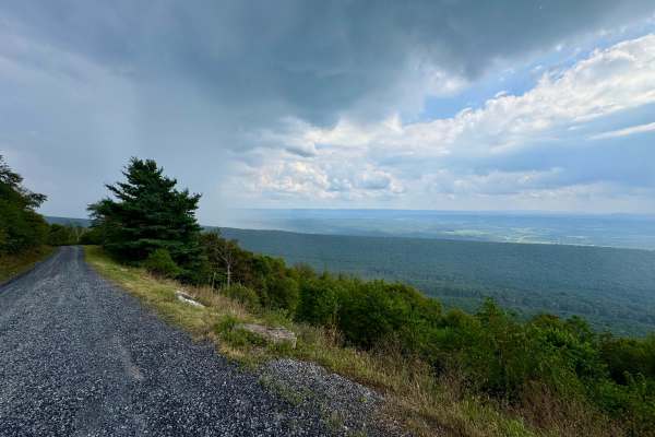
Pennsylvania Furnace Road
One of the most fun routes in Rothrock State Forest. The northern end begins in corn fields and passes through private property, so be respectful and stay on the trail here. It transitions from broken pavement to loose rock as it climbs into the state forest and ascends Tussey Mountain. At the inter...
Learn more about Pennsylvania Furnace Road
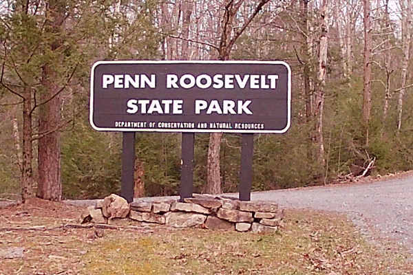
Camp Road
Camp Road is an in-and-out trail that is a typical state forest graded gravel road within Rothrock State Forest. It encompasses Penn Roosevelt State Park, with multiple hiking trails for walking and mountain biking (Oven Baked Trail, Mid-state Trail, and Broad Mountain West Loop Trail). There is a n...
Learn more about Camp Road
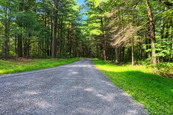
Boal Gap Road
This is a maintained gravel road offering an easy ride through the forest and follows a small creek for part of the trail. This makes for an easy road to cut across into the park from major roads. A few small pull-off areas are available.
Learn more about Boal Gap Road
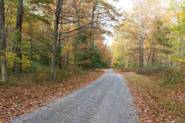
Crowfield Road
Crowfield Road is a well-maintained gravel road in Rothrock State Forest. The trail traverses a forest of deciduous trees, pine, mountain laurel, and rhododendron and passes through Roosevelt State Park. There are a few spur roads to private cabins along the trail. Only highway-legal vehicles are al...
Learn more about Crowfield Road
Beginner ATV trails near State College, Pennsylvania
Explore ATV-friendly trails near you. These trails are accessible for vehicles up to 50 inches wide, perfect for ATVs and smaller off-road machines.
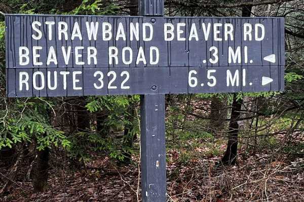
Strawband Beaver Road
This is a very well-maintained gravel, mostly one-car-width road through Moshannon State Forest. Along the route, you will find many different types of trees and wildlife. There are plenty of spots along the road to pull over. There is a lot of traffic during the hunting season.
Learn more about Strawband Beaver Road
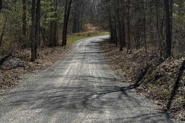
Hall Road
Hall Road is primarily a graded gravel road. It is an easy ride in the summer months; however, there is no winter maintenance. During times of rain, snow, and ice, the road can become rutted and harder to travel on. Hall Road is within Sproul State Forest. There are numerous spots to stop along this...
Learn more about Hall Road
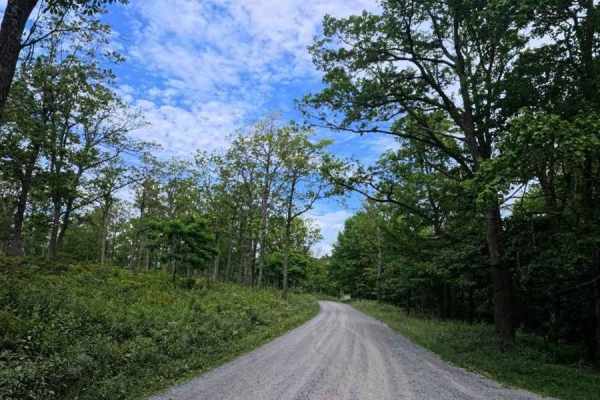
Huckleberry Road
This is a maintained gravel road taking you for an easy drive through Moshannon State Forest. Entering from the Casanova Road side will take you through the forest, passing a few pull-off areas and the Benner Run Vista overlook, eventually coming to a three-way intersection. From this intersection,...
Learn more about Huckleberry Road
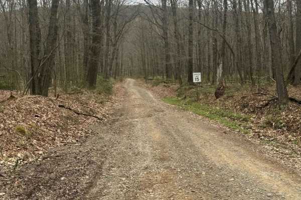
Bald Eagle Pike
This is a rocky dirt road up the mountainside. There are some small washed-out areas, but it can be easily navigated with a factory-height SUV. You'll get some great views down into the valley along with wildlife such as turkey and deer crossing the trail. It's single-lane with a few pull-off areas ...
Learn more about Bald Eagle Pike
Beginner UTV/side-by-side trails near State College, Pennsylvania
Find UTV and side-by-side trails near you. These trails accommodate vehicles up to 60 inches wide, ideal for UTVs, side-by-sides, and wider off-road rigs.
Strawband Beaver Road
This is a very well-maintained gravel, mostly one-car-width road through Moshannon State Forest. Along the route, you will find many different types of trees and wildlife. There are plenty of spots along the road to pull over. There is a lot of traffic during the hunting season.
Learn more about Strawband Beaver Road
Hall Road
Hall Road is primarily a graded gravel road. It is an easy ride in the summer months; however, there is no winter maintenance. During times of rain, snow, and ice, the road can become rutted and harder to travel on. Hall Road is within Sproul State Forest. There are numerous spots to stop along this...
Learn more about Hall Road
Bald Eagle Pike
This is a rocky dirt road up the mountainside. There are some small washed-out areas, but it can be easily navigated with a factory-height SUV. You'll get some great views down into the valley along with wildlife such as turkey and deer crossing the trail. It's single-lane with a few pull-off areas ...
Learn more about Bald Eagle Pike
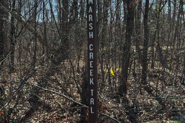
Marsh Creek Trail
Marsh Creek Trail is primarily a graded gravel road, with the southern end being dirt. It is an easy ride in the summer months; however, there is no winter maintenance. During times of rain, snow, and ice, the road can become rutted and harder to travel on. Marsh Creek Trail is within Sproul State F...
Learn more about Marsh Creek Trail
The onX Offroad Difference
onX Offroad combines trail photos, descriptions, difficulty ratings, width restrictions, seasonality, and more in a user-friendly interface. Available on all devices, with offline access and full compatibility with CarPlay and Android Auto. Discover what you're missing today!
Open Trail Map