
Beginner Off-Road Trails
Near Myrtle Creek, Oregon
Explore All Beginner Trails Near Myrtle Creek, Oregon
Beginner Off-Road Trails Near Myrtle Creek, Oregon
Discover the best beginner-friendly off-road trails near you. These easier, lower-rated trails are a great place to start — browse trail maps, check difficulty ratings, and find your next adventure.
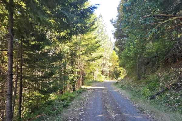
FS 3220900
This well-maintained forest road climbs steadily into the mountains, following a winding, mostly single-lane route with occasional pullouts where vehicles can move aside for passing traffic. The road includes numerous switchbacks, sharp curves, and blind corners, so drivers should stay alert for onc...
Learn more about FS 3220900
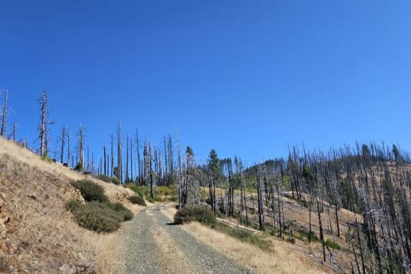
FS 3220300
This trail begins as a well-maintained gravel road and is relatively easy to follow through the first section. Conditions change at a major split, where the road to the right leads toward the 320 and includes a steep descent. Continuing on this route, the trail becomes narrower and more rugged, with...
Learn more about FS 3220300
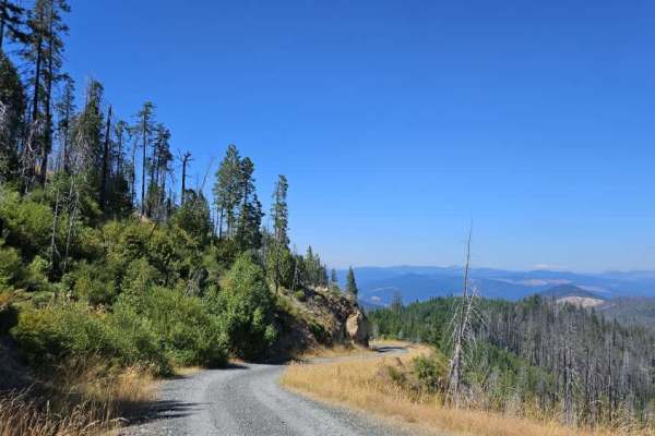
FS 3220000
This trail has sections with sheer cliff drop-offs and significant exposure. It is not recommended for anyone uncomfortable with heights, and drivers should use extreme caution near the unprotected edges. This well-maintained gray gravel road climbs steadily from the main road into the mountains, fo...
Learn more about FS 3220000
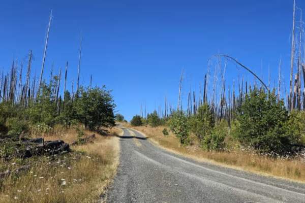
FS 3230200
This beautiful user-maintained forest trail begins in dense woodland before opening into a burned area with views across the surrounding valley. The road remains in relatively good condition for an unmaintained route, although it becomes narrower as it continues, with vegetation closing in around th...
Learn more about FS 3230200
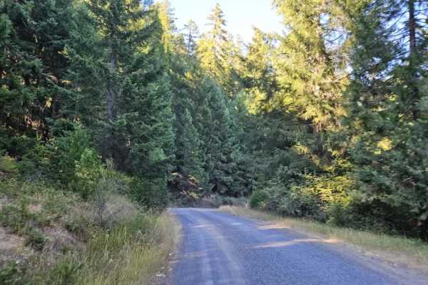
FS 3230000
This section of Callahan Creek is a beautiful, well-maintained gravel route that winds through forest, burned areas, and mountainous terrain. The road begins in the forest and climbs before descending through a wildfire-affected area. As it continues through the burned landscape, remnants of a major...
Learn more about FS 3230000
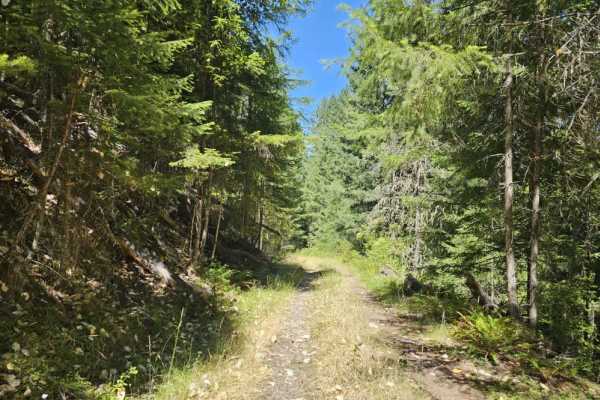
FS 3242051
This peaceful mountain trail branches from the main route and climbs steadily through beautiful forest on a gray gravel surface covered with a soft layer of pine needles. The trail features several moderately steep ascents and descents, along with a handful of sharper corners that require reduced sp...
Learn more about FS 3242051

Peel to Wolf Creek Job Corps Bypass Route
This route is a bypass for local residents and employees of Job Corps to avoid fire or road hazards that may arise. It is mostly small tire-friendly. Use caution during the week as it will have moderate log truck traffic in the area and on Little River Road.
Learn more about Peel to Wolf Creek Job Corps Bypass Route
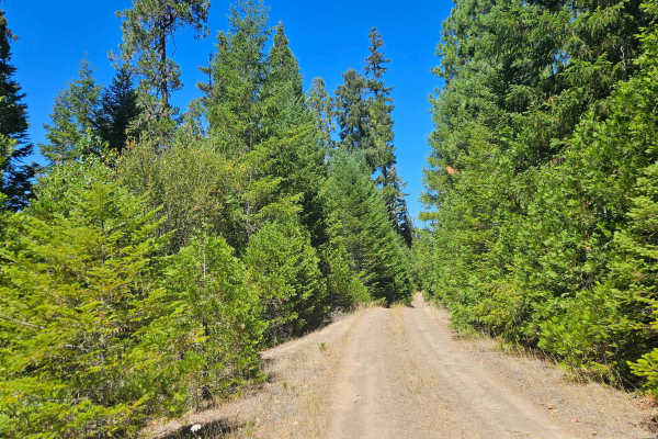
FS 2929249
This maintained gravel road descends steadily through the forest into a scenic valley, following the principle that what goes down must eventually come back up. The upper section is generally in good condition, but the road gradually becomes rougher with increasing rain erosion, rocky sections, off-...
Learn more about FS 2929249
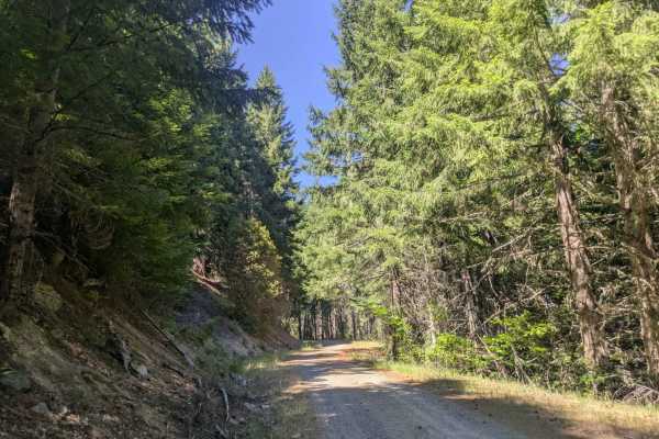
3232000
This well-maintained gravel road connects to Cow Creek Trail and is mostly a narrow, single-lane route with frequent curves and switchbacks. Large potholes are common, especially in shaded sections, and dips and corrugation also require slower speeds. From the Cow Creek side, the road begins with a ...
Learn more about 3232000
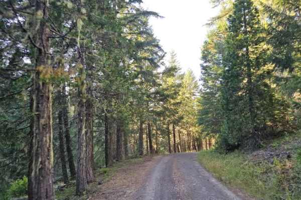
3200620
This trail winds through a beautiful forest but has several distinctly different sections. Starting from the southern end, the route is relatively narrow and heavily wooded, with pinstriping likely as branches and trees encroach on the single-lane road. Many trees have been cut back, although some w...
Learn more about 3200620
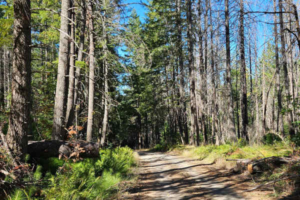
FS 2980000
This is a well-maintained forest road with plenty of curves, twists, and blind corners, so watch carefully for oncoming traffic. When approaching from the south, the route climbs steadily, while traveling from the north provides a downhill drive. Several sections have been damaged by rain, with deep...
Learn more about FS 2980000
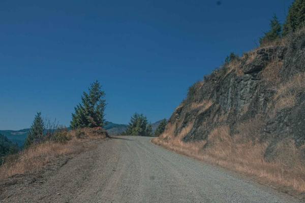
Lookout Mountain
Lookout Mountain road runs through the Umpqua National Forest, it is an easy gravel road with sections that can be gradually steep and curvy. There are some sections of this road that have really cool rock formations and pretty views. There is also a really cool spot at Emile Shelter to stop and enj...
Learn more about Lookout Mountain
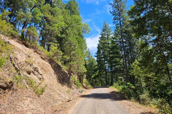
FS 2929000
This trail begins off the main road near 3C Campground and is a well-maintained gravel route that climbs steadily into the mountains. The road is corrugated in several areas, particularly around corners, so take your time and avoid going too fast. A small ditch, bump, or drop in the road is present ...
Learn more about FS 2929000
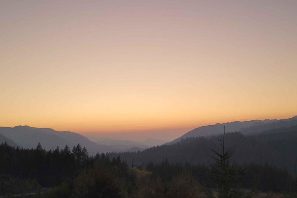
Backroads to Swiftwater to Peel Oregon
Great viewing points of the N. Umpqua River and the area of Thunder Mountain. There are lots of opportunities for mudding and enjoying a nice day on the mountain. It is a great trail for getting from Lil River Side to Rock Creek side in an SxS or 4Wheeler. Come prepared with food, drink, water, and ...
Learn more about Backroads to Swiftwater to Peel Oregon
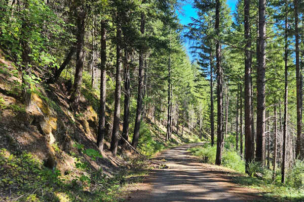
FS 2980800
This gravel mountain road starts well maintained but gradually becomes more rugged and debris-covered. Further along, numerous broken and fallen trees have not been cleared from the route, so bringing a chainsaw would be helpful if traveling beyond the maintained section. Rocks, bumps, and holes are...
Learn more about FS 2980800
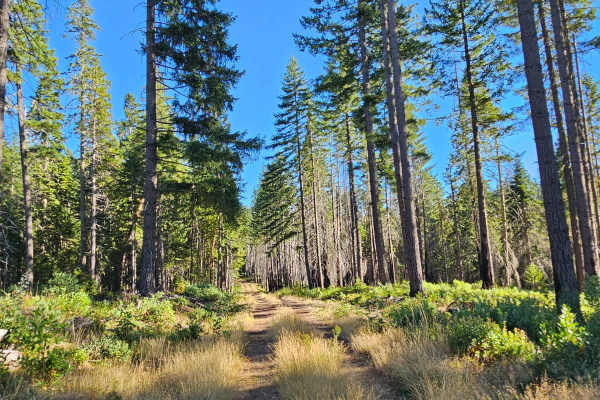
FS 2980615
This beautiful forest trail follows a well-maintained gravel road through dense evergreen forest, offering a peaceful and enjoyable drive. The route is generally easy to navigate, with numerous fallen trees and branches along the way; however, most have been cleared, and bypasses have been establish...
Learn more about FS 2980615
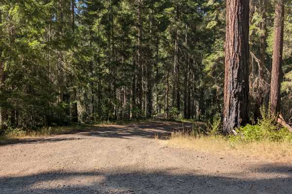
FS 3114400
This unmaintained forest trail that branches off from a maintained road that is closed beyond the junction, although this route itself remains open. The trail climbs gently through a beautiful mountain forest with numerous fallen trees visible alongside the roadway. Fortunately, all major obstructio...
Learn more about FS 3114400
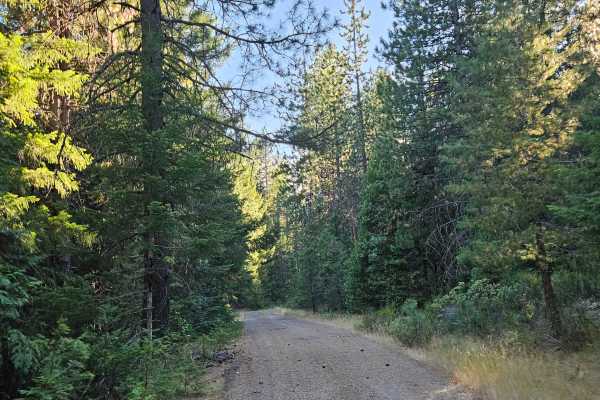
FS 2980500
This unmaintained, user-maintained gravel road winds through a beautiful forest, offering a peaceful drive beneath a canopy of trees. The trail is especially scenic when sunlight filters through the branches, creating a quiet and relaxing atmosphere. The route is narrow in places, with dense undergr...
Learn more about FS 2980500
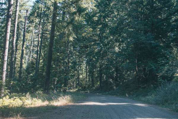
Lower Emily
Lower Emily is an easy, scenic 2.4-mile gravel route in the Umpqua National Forest that provides essential access to the popular Grotto Falls Trailhead, making it perfect for beginners, scenic drivers, and families looking for a classic Pacific Northwest outdoor adventure. Navigating through towerin...
Learn more about Lower Emily
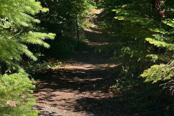
Elderberry Dead End
Lots of little hubs that branch off of this gravel road. There is no connection to candy spur hub as depicted on the GPS, so you can't loop around as it's a dead end. It's got a blue gate that is currently open just before you cross the bridge that Evens creek flows beneath.
Learn more about Elderberry Dead End
Beginner ATV trails near Myrtle Creek, Oregon
Explore ATV-friendly trails near you. These trails are accessible for vehicles up to 50 inches wide, perfect for ATVs and smaller off-road machines.
FS 3220900
This well-maintained forest road climbs steadily into the mountains, following a winding, mostly single-lane route with occasional pullouts where vehicles can move aside for passing traffic. The road includes numerous switchbacks, sharp curves, and blind corners, so drivers should stay alert for onc...
Learn more about FS 3220900
FS 3220300
This trail begins as a well-maintained gravel road and is relatively easy to follow through the first section. Conditions change at a major split, where the road to the right leads toward the 320 and includes a steep descent. Continuing on this route, the trail becomes narrower and more rugged, with...
Learn more about FS 3220300
FS 3220000
This trail has sections with sheer cliff drop-offs and significant exposure. It is not recommended for anyone uncomfortable with heights, and drivers should use extreme caution near the unprotected edges. This well-maintained gray gravel road climbs steadily from the main road into the mountains, fo...
Learn more about FS 3220000
FS 3230200
This beautiful user-maintained forest trail begins in dense woodland before opening into a burned area with views across the surrounding valley. The road remains in relatively good condition for an unmaintained route, although it becomes narrower as it continues, with vegetation closing in around th...
Learn more about FS 3230200
Beginner UTV/side-by-side trails near Myrtle Creek, Oregon
Find UTV and side-by-side trails near you. These trails accommodate vehicles up to 60 inches wide, ideal for UTVs, side-by-sides, and wider off-road rigs.
FS 3220900
This well-maintained forest road climbs steadily into the mountains, following a winding, mostly single-lane route with occasional pullouts where vehicles can move aside for passing traffic. The road includes numerous switchbacks, sharp curves, and blind corners, so drivers should stay alert for onc...
Learn more about FS 3220900
FS 3220300
This trail begins as a well-maintained gravel road and is relatively easy to follow through the first section. Conditions change at a major split, where the road to the right leads toward the 320 and includes a steep descent. Continuing on this route, the trail becomes narrower and more rugged, with...
Learn more about FS 3220300
FS 3220000
This trail has sections with sheer cliff drop-offs and significant exposure. It is not recommended for anyone uncomfortable with heights, and drivers should use extreme caution near the unprotected edges. This well-maintained gray gravel road climbs steadily from the main road into the mountains, fo...
Learn more about FS 3220000
FS 3230200
This beautiful user-maintained forest trail begins in dense woodland before opening into a burned area with views across the surrounding valley. The road remains in relatively good condition for an unmaintained route, although it becomes narrower as it continues, with vegetation closing in around th...
Learn more about FS 3230200
The onX Offroad Difference
onX Offroad combines trail photos, descriptions, difficulty ratings, width restrictions, seasonality, and more in a user-friendly interface. Available on all devices, with offline access and full compatibility with CarPlay and Android Auto. Discover what you're missing today!
Open Trail Map