Trail Overview
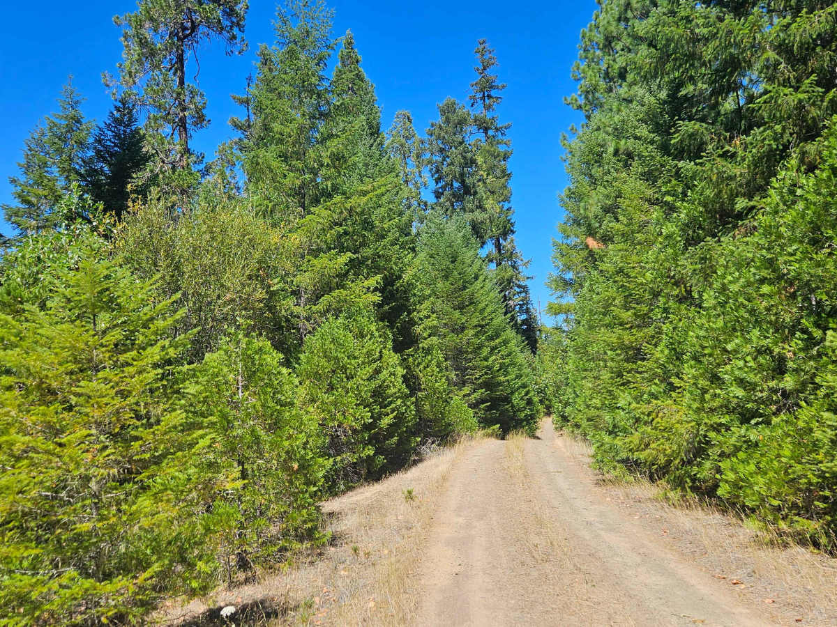
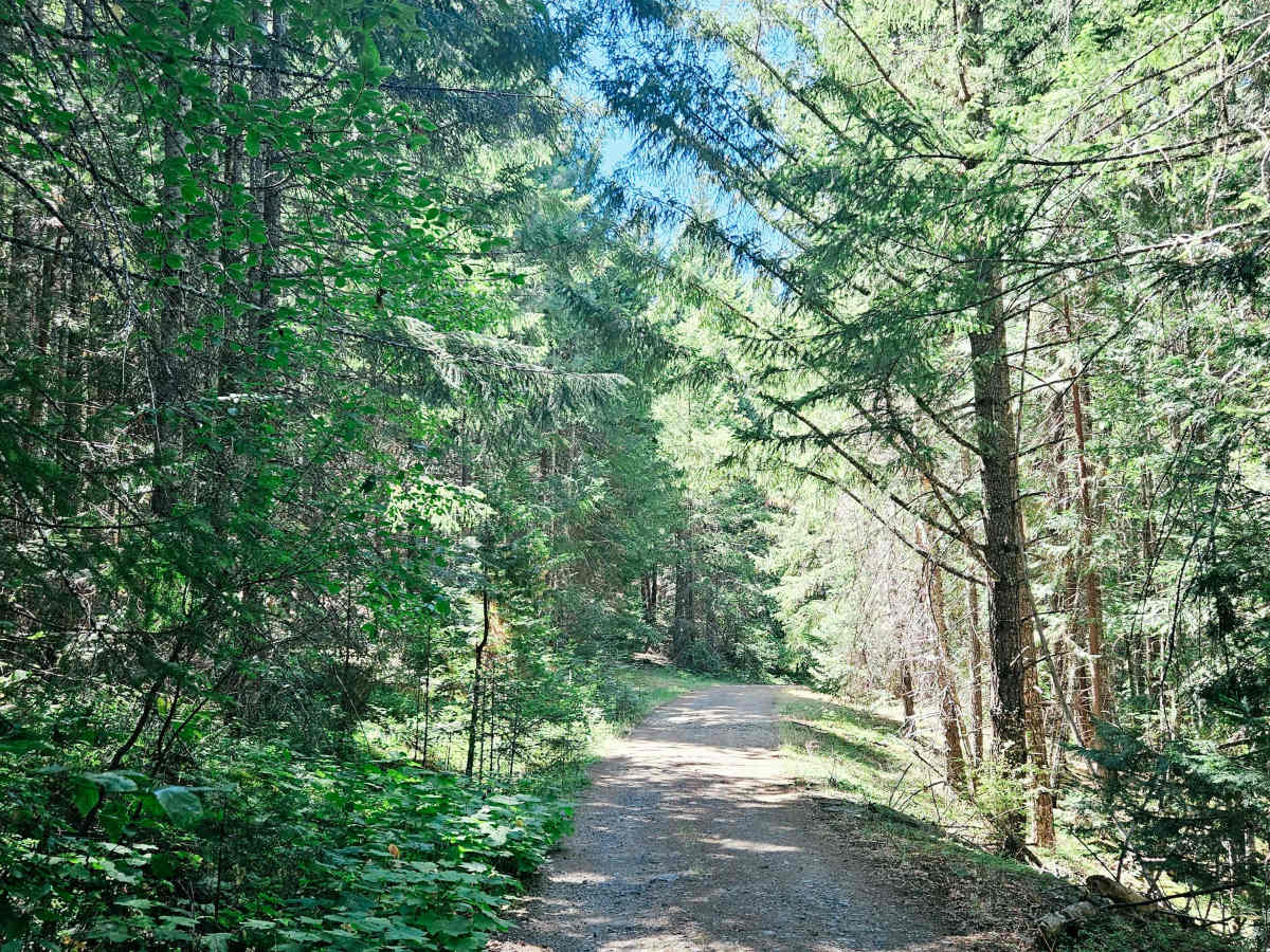
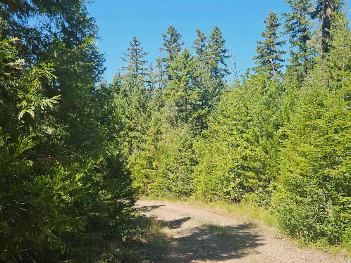
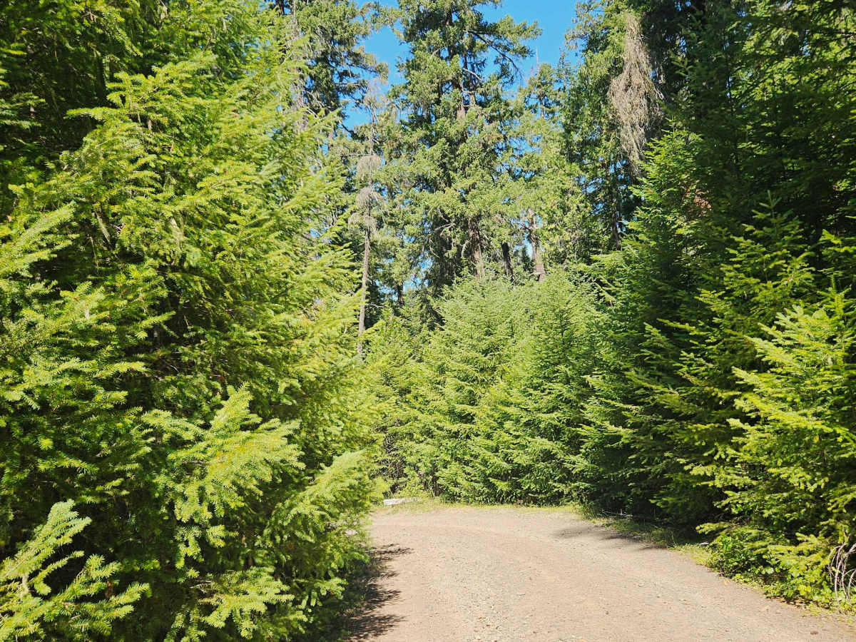
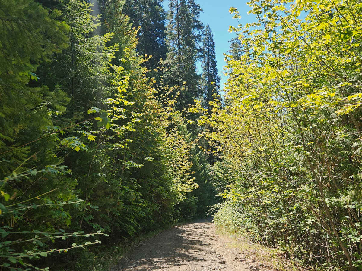
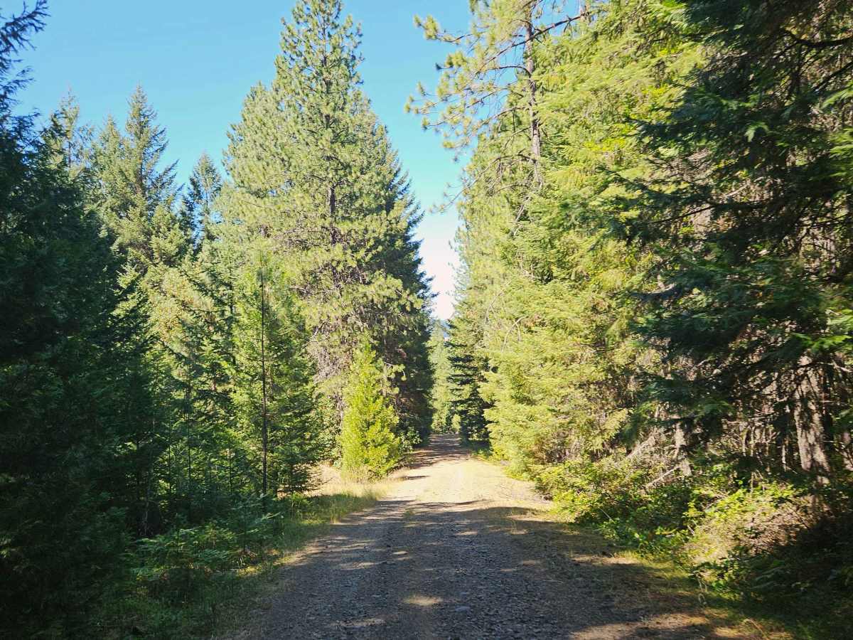
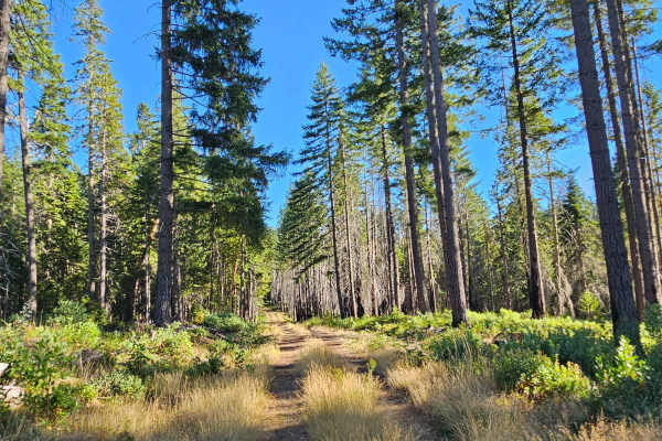
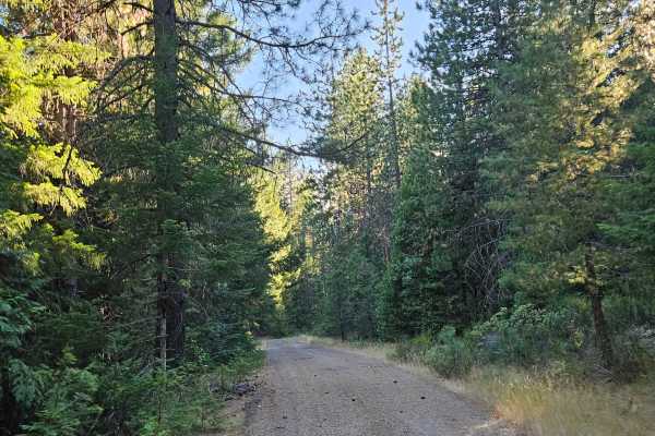
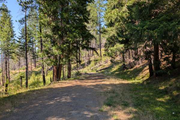
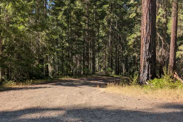
This maintained gravel road descends steadily through the forest into a scenic valley, following the principle that what goes down must eventually come back up. The upper section is generally in good condition, but the road gradually becomes rougher with increasing rain erosion, rocky sections, off-camber terrain, and a number of ruts and washouts. While nothing is especially technical, a high-clearance vehicle is recommended, and low range is helpful on the steeper sections, particularly when climbing back out of the valley. The trail passes a private residence near the lower end, so be sure to respect all property boundaries and remain on the public road. As the trail continues through the forest, overhanging branches make pinstriping likely in places, and two trees have been positioned across the trail at different heights, creating low overhead clearance that may prevent taller vehicles from continuing. Smaller 4x4s, ATVs, and SxSs will have an easier time passing beneath them. At the end of the route, the road reaches the entrance to a private residence marked by rustic wooden archways, where the public route effectively ends. Camping is not permitted at the lower end of the trail.