FS 3114300

Total Miles2.9
Technical Rating
3Easy
Best TimeSpring, Summer, Fall
Trail TypeFull-Width Road
Accessible By
Open Trail Map

Trail Overview

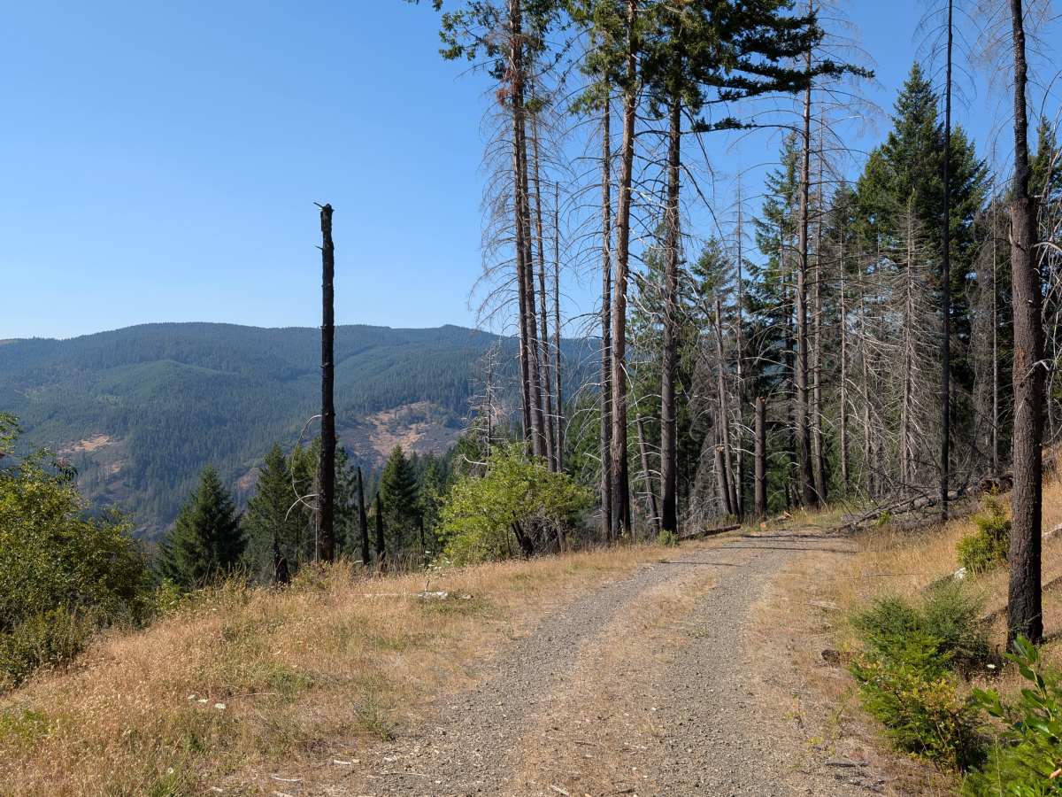
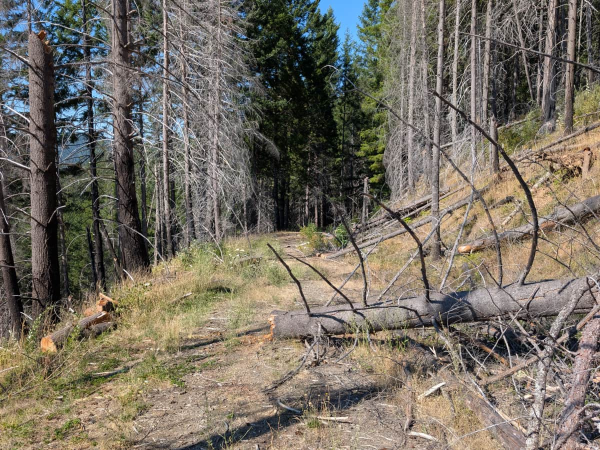
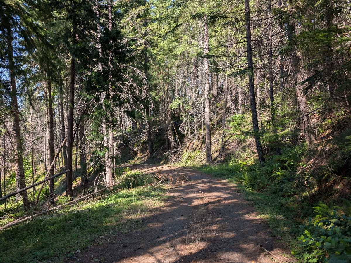
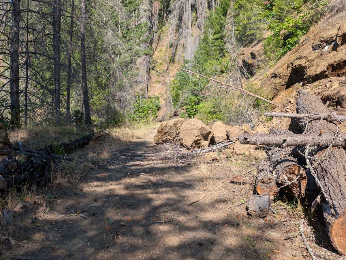
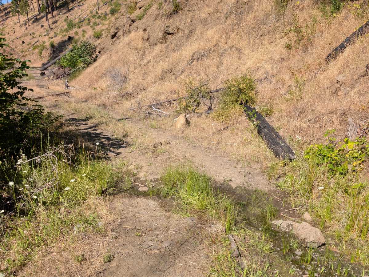
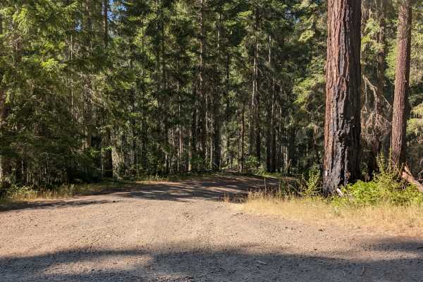
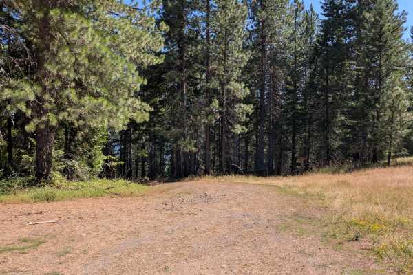
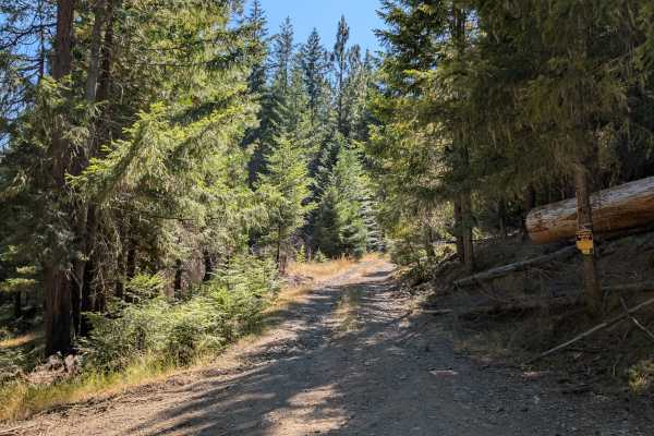
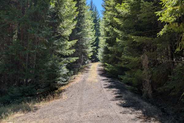
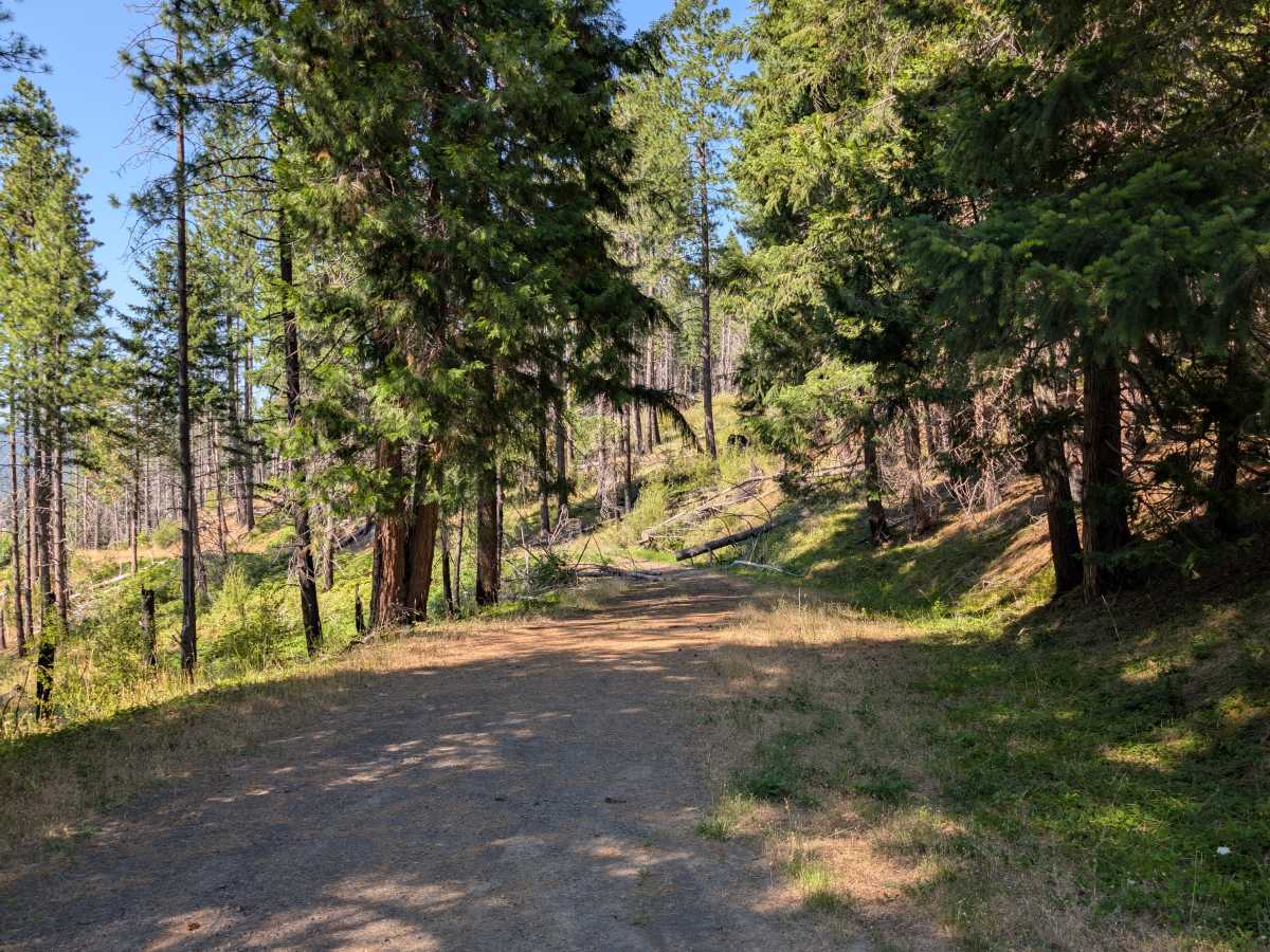
This is an unmaintained forest road with deep grooves and drainage channels running through sections of the route. Fallen trees, loose rocks, and debris from past landslides create frequent obstacles, requiring careful navigation. The trail becomes noticeably rougher after a large boulder from a landslide blocks part of the route, with increasing amounts of loose stone, branches, and other debris making the road difficult to follow. Farther along the route, several downed trees completely obstruct the route and prevent further travel. The combination of loose rocks, uneven terrain, fallen trees, and debris makes this a challenging trail that is not suitable for casual driving. Overall, conditions deteriorate significantly as you progress, and the route becomes increasingly difficult to navigate beyond the large landslide boulder. ATVs, UTVs, Side-by-Sides, and Dirt Bikes must always have a valid Oregon ATV Operating Permit sticker.

Photos of FS 3114300

Difficulty

The combination of washouts, loose rocks, and downed trees creates a challenging off-road experience.

Technical Rating

3

FS 3114300 Trail can be accessed by the following ride types:

  • Single Track
  • 50 Inch
  • 60 Inch
  • High Clearance
  • Full Width

FS 3114300 Map

The onX Offroad Difference

onX Offroad combines trail photos, descriptions, difficulty ratings, width restrictions, seasonality, and more in a user-friendly interface. Available on all devices, with offline access and full compatibility with CarPlay and Android Auto. Discover what you're missing today!

Open Trail Map