FS 3114490

Total Miles4.1
Technical Rating
1Easy
Best TimeSpring, Summer, Fall
Trail TypeFull-Width Road
Accessible By
Open Trail Map

Trail Overview

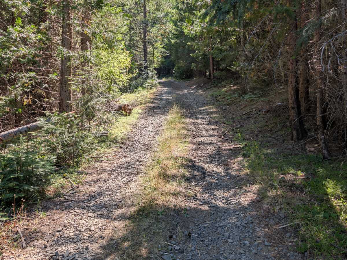
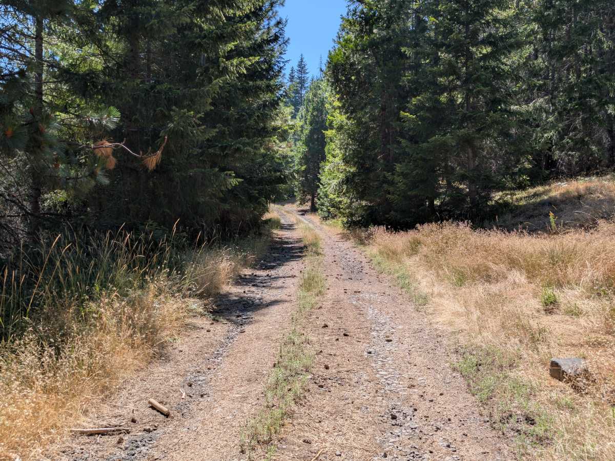
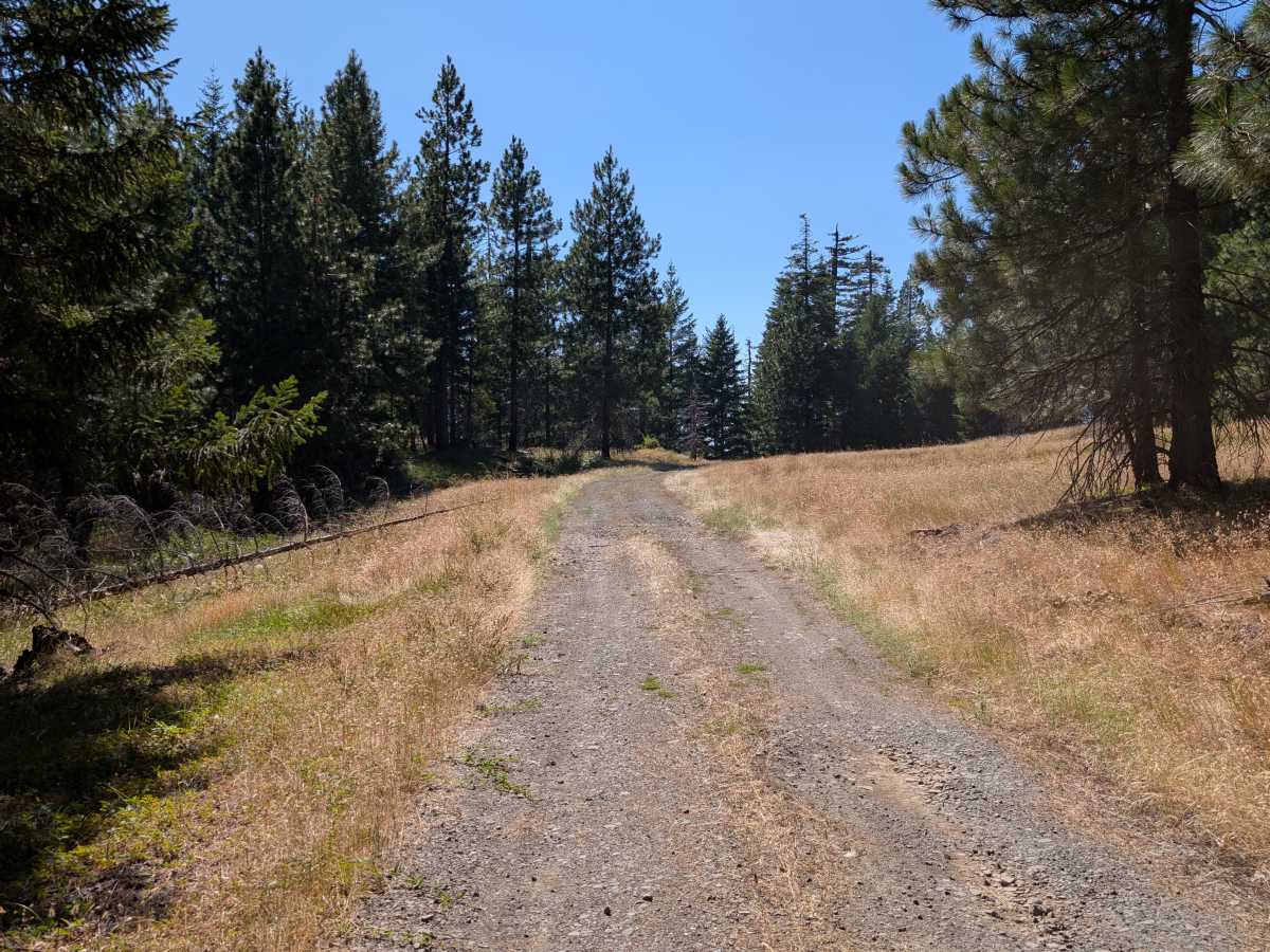
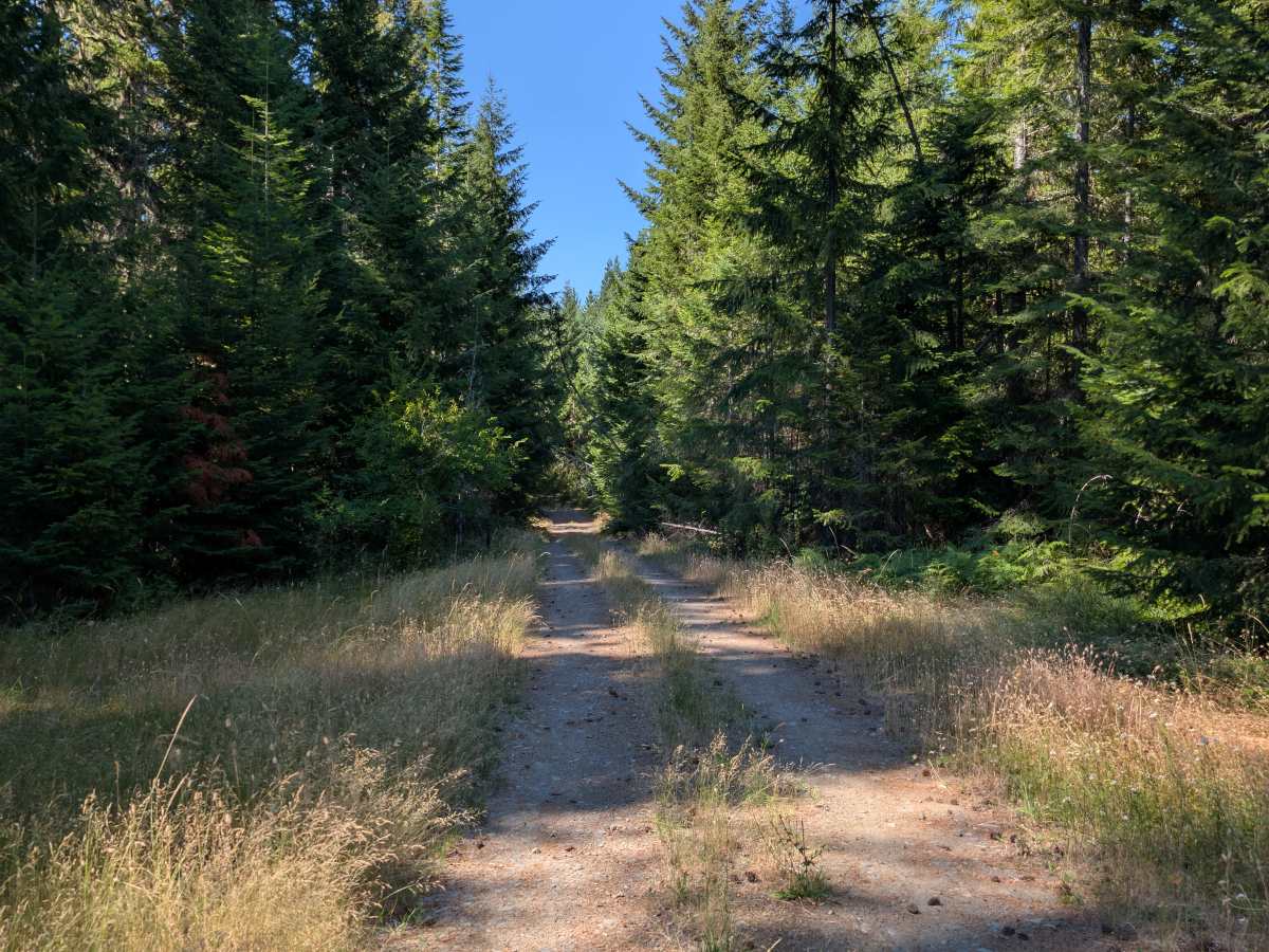
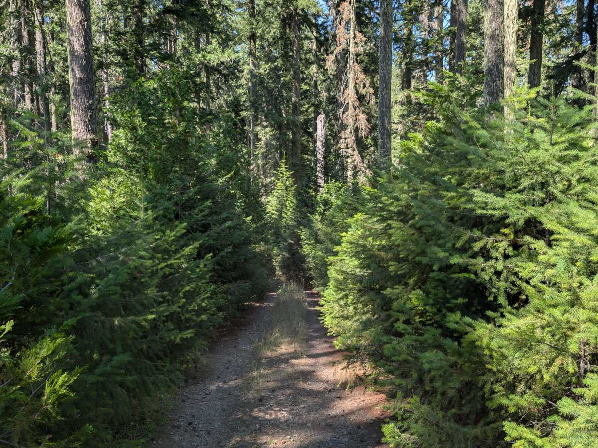
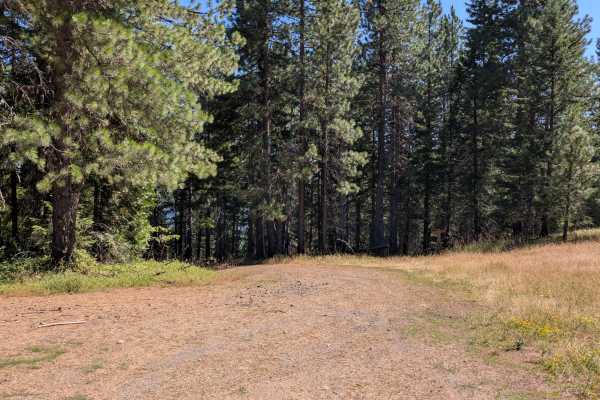
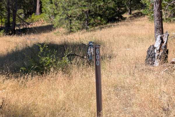
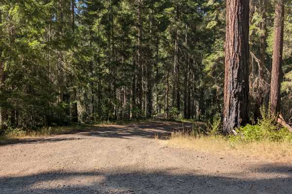
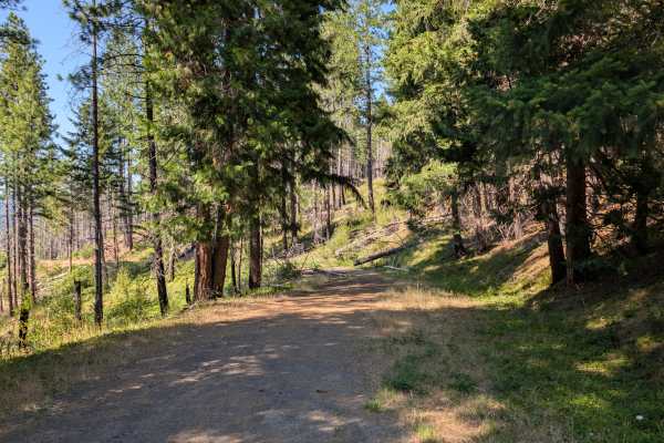
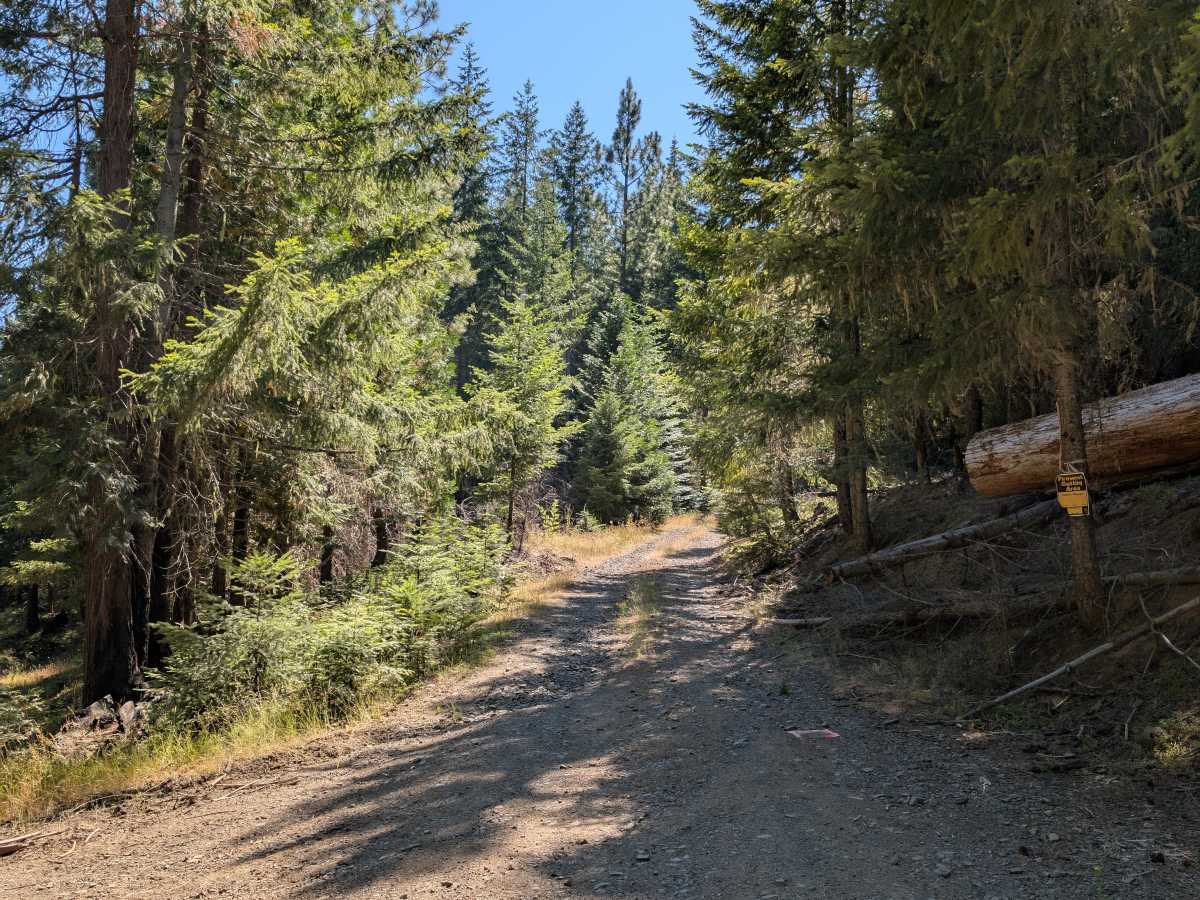
This unmaintained mountain trail climbs steadily through dense forest before emerging onto a scenic ridgeline with expansive views of the surrounding landscape. Near the ridge is an open clearing, and beyond that point, the trail becomes progressively narrower as young trees and dense vegetation encroach on both sides of the roadway. Several fallen trees lie beside the trail, with additional downed trees eventually blocking further travel. The route is open from June 15 through February 29 due to Seasonal Designation, and visitors should confirm current seasonal regulations before traveling. This is a rewarding drive for those seeking quiet mountain scenery, although the route becomes increasingly difficult near its end. ATVs, UTVs, Side-by-Sides, and Dirt Bikes must always have a valid Oregon ATV Operating Permit sticker.

Photos of FS 3114490

Difficulty

Increasing vegetation, narrowing trail conditions, and fallen trees blocking the route are the main challenges.

Technical Rating

1

FS 3114490 Trail can be accessed by the following ride types:

  • Single Track
  • 50 Inch
  • 60 Inch
  • High Clearance
  • Full Width

FS 3114490 Map

The onX Offroad Difference

onX Offroad combines trail photos, descriptions, difficulty ratings, width restrictions, seasonality, and more in a user-friendly interface. Available on all devices, with offline access and full compatibility with CarPlay and Android Auto. Discover what you're missing today!

Open Trail Map