
Beginner Off-Road Trails
Near Glen Lyon, Pennsylvania
Explore All Beginner Trails Near Glen Lyon, Pennsylvania
Beginner Off-Road Trails Near Glen Lyon, Pennsylvania
Discover the best beginner-friendly off-road trails near you. These easier, lower-rated trails are a great place to start — browse trail maps, check difficulty ratings, and find your next adventure.
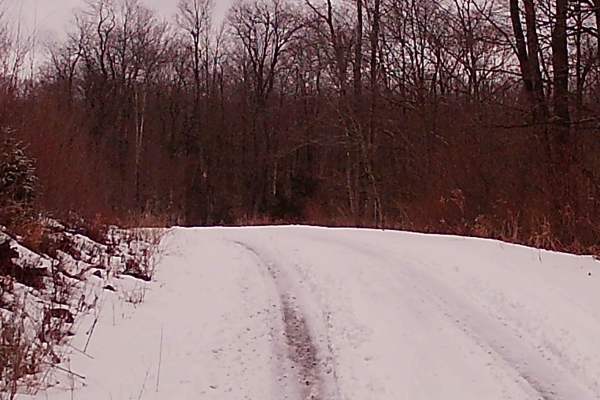
New Pond Road
New Pond Road is a graded gravel road within Loyalsock State Forest and is managed by PA DCNR and Ricketts Glen State Park. This trail is an offshoot from Mountain Spring Road. The trail is a up-and-back trail that runs to a no-exit. It is surrounded by big timber and pine trees, with plenty of wild...
Learn more about New Pond Road
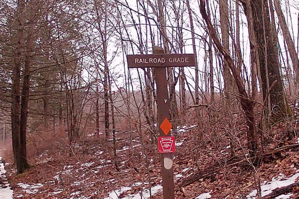
Railroad Grade
The Railroad Grade trail is a point-to-point trail leading to Mountain Spring Road. It is a typical state forest graded gravel road. It has big timber and pine trees, with several pull-offs and some parking spots. There was a detour on this trail that does place you back onto the correct path rather...
Learn more about Railroad Grade
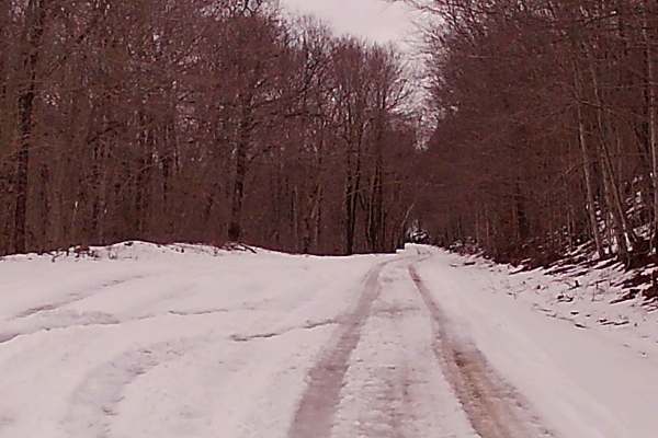
Mountain Spring Road
Mountain Spring Road is a typical State forest graded gravel road that is within the Loyalsock State Forest and is managed by PA DCNR and the Ricketts Glen State Park. This trail is a in and out leading to the main highway from the mountain. There are two rather large ponds and fishing is allowed, w...
Learn more about Mountain Spring Road

Camp Hill Road
This Trail is a typical state forest graded gravel road within Loyalsock State Forest. This trail is a up and back and leads to another trail system, but is gated. There was a small washout on this trail, but it remained accessible to full-size vehicles. The trail is surrounded by big timber and pin...
Learn more about Camp Hill Road
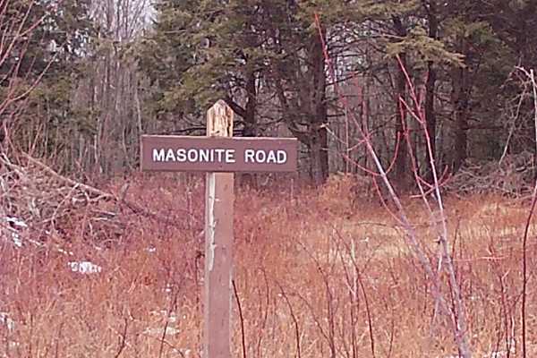
Masonite Road
This is an in-and-out trail within Loyalsock State Forest. The trail runs off of Flynn Road, leading towards two trails: Hottenstein Road and Old Berwick Turnpike. This trail is Graded Gravel with plenty of parking spaces and turnarounds. There are big timber woods with some tall pines. The trail is...
Learn more about Masonite Road
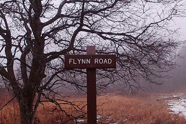
Flynn Road
This is a trail within Loyalsock State Forest that is reachable from the main road, SR 2006, and converges with other state forest trails. It is a typical state forest trail that is an in-and-out, graded gravel trail. Surrounded by big timber and tall pines, with plenty of wildlife surrounding this ...
Learn more about Flynn Road
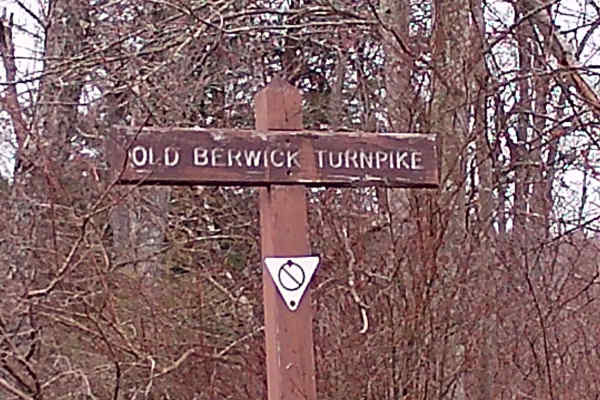
Old Berwick Turnpike
This trail is a convergence point with two other trails. It is a typical Graded Gravel road within the Loyalsock State Forest. It is an up-and-back trail that runs to a dead end. There are plenty of parking spaces and turnarounds. The trail is surrounded by big timber oak trees and tall pines, and p...
Learn more about Old Berwick Turnpike
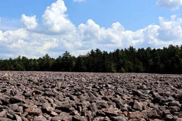
Boulder Field Run
Boulder Field Run provides a loop run located off 534 in Hickory Run State Park and ends near the state park picnic area. This route is one way but watch for State Park vehicles in addition to animals on the trail. There is a wooden bridge crossing and tunnel (underneath the PA Turnpike), the rest i...
Learn more about Boulder Field Run
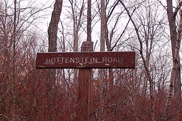
Hottenstein Road
This trail is a typical up-and-back, graded-gravel road within the Loyalsock State Forest. It is connected to two other trails, Masonite Road and Old Berwick Turnpike. The trail is surrounded by a variety of tall pines and big timber. There is plenty of wildlife surrounding this trail. Plenty of par...
Learn more about Hottenstein Road
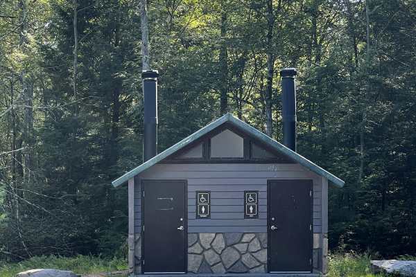
Boulder Field Road
Boulder Field Road is located within Hickory Run State Park and leads you directly to the Boulder Field. The trail consists of a gravel road with potholes throughout. After rainy weather, the trail can be washed out with minor washboard roads. It can fit two vehicles and loops back to Boulder Field ...
Learn more about Boulder Field Road
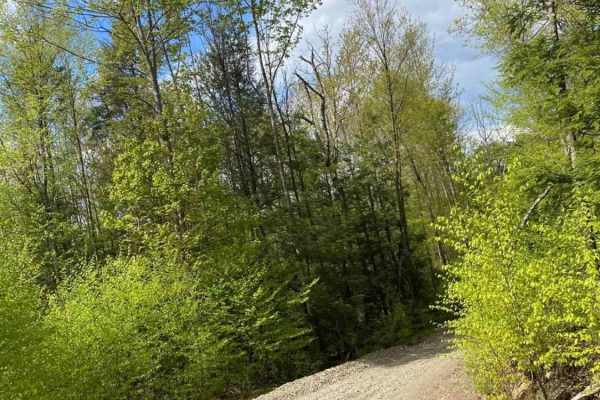
Montage Road
Long Winding Forestry Road with steep climbs on the Montage Tract of the Pinchot State Forest. The road will not be plowed in winter. Steep hill sections will be slippery, and the lower section of the trail grows increasingly washed out every year. Downed trees may also be encountered. The lower sec...
Learn more about Montage Road
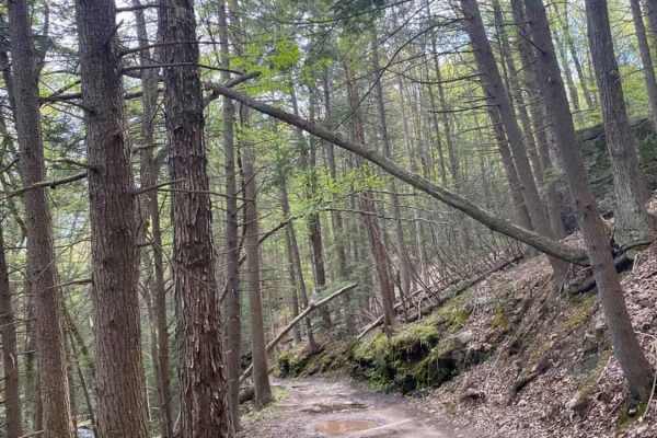
Ore Mine Road
This narrow, rocky, and muddy trail is in the Montage Tract of Pinchot State Forest. The bottom section of the trail follows along a stream and passes through the tornado scar from the 2017 storm. The trail passes below Montage Ski Resort and a lake before dead-ending at State Forest Boundary. The u...
Learn more about Ore Mine Road
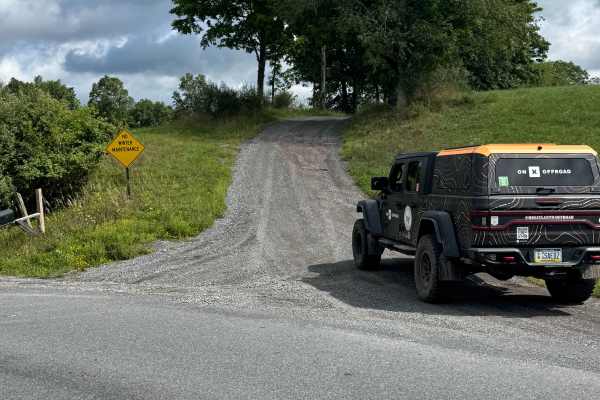
Cooper Road
Cooper Road is primarily a graded dirt and gravel road. Cooper Road is an easy ride in the summer months; however, there is no winter maintenance. During times of rain, snow, and ice, the road can become rutted and harder to travel on. There are numerous spots to stop along this road and enjoy the f...
Learn more about Cooper Road
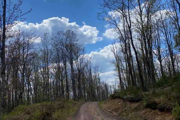
Balish Road
Balish Road is a winding, unmaintained 2.15-mile dirt route in Pennsylvania's Wyoming Valley that serves as an excellent gateway for street-licensed offroaders to explore the Montage Tract. The road begins near State Route 307, climbing from an elevation of 1,537 feet to a peak of 1,860 feet, and wi...
Learn more about Balish Road
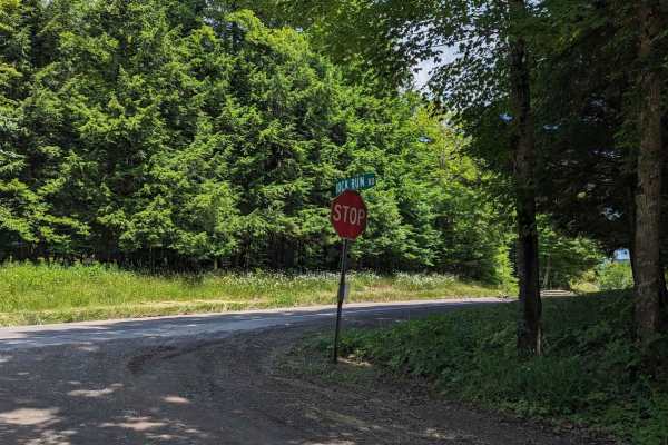
Rock Run Road
This is an easy trail on the eastern side of Loyalsock State Forest which winds down outside of LaPorte. Along the way, you will see several small waterfalls with a few narrow sections to traverse. There are also several pull-offs and forest areas to see. The road is very well-maintained with few to...
Learn more about Rock Run Road
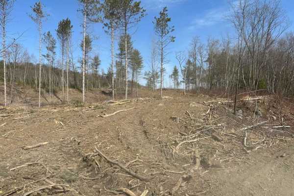
Ashland 190
Ashland 190 might look like a tornado recently went through, but in reality, it was recently timbered. Because of the timbering, the trail has logs and downed trees in its path. Some areas in the wooded areas are going to be tight for full-size vehicles. The trail itself can be visually hard to see ...
Learn more about Ashland 190
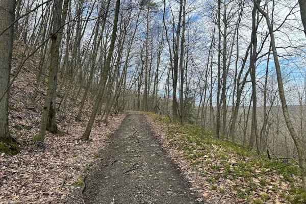
Ashland 116
Ashland 116 is a very long trail. It is relatively straight as it goes east out of the property to the property line. Most of this trail is very smooth and flat but there are some puddles and tree roots that will keep you humbled as you drive the trail. There are also some washouts along the way.
Learn more about Ashland 116
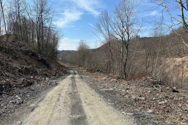
Ashland 19
Ashland 19 is a wide trail that is packed dirt with large ruts from big old coal mining trucks. The terrain can become muddy and slippery if rain has been in the forecast. This trail does dead-end at a mining area. Watch and follow the signs or you might end up in a stripping pit--and that is not a ...
Learn more about Ashland 19
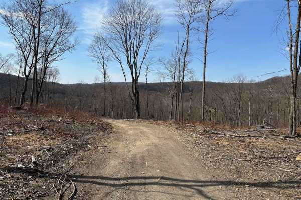
Ashland 20
Ashland 20 is a newer type of trail that is on the outskirts of the active mining area. It has many different challenges and areas to have fun. This includes a hill climb, twists and turns, and small rocky areas. Most of this trail is in an open area.
Learn more about Ashland 20
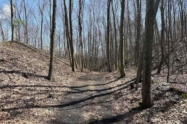
Ashland 130
Ashland 130 is a dead-end trail at the railroad tracks. As with any trail down in this area stay off of the tracks or even the shoulders or you will get arrested for tresspassing. The trail has puddles and some trees to work around to get to the dead end.
Learn more about Ashland 130
Beginner ATV trails near Glen Lyon, Pennsylvania
Explore ATV-friendly trails near you. These trails are accessible for vehicles up to 50 inches wide, perfect for ATVs and smaller off-road machines.
Ashland 190
Ashland 190 might look like a tornado recently went through, but in reality, it was recently timbered. Because of the timbering, the trail has logs and downed trees in its path. Some areas in the wooded areas are going to be tight for full-size vehicles. The trail itself can be visually hard to see ...
Learn more about Ashland 190
Ashland 116
Ashland 116 is a very long trail. It is relatively straight as it goes east out of the property to the property line. Most of this trail is very smooth and flat but there are some puddles and tree roots that will keep you humbled as you drive the trail. There are also some washouts along the way.
Learn more about Ashland 116
Ashland 19
Ashland 19 is a wide trail that is packed dirt with large ruts from big old coal mining trucks. The terrain can become muddy and slippery if rain has been in the forecast. This trail does dead-end at a mining area. Watch and follow the signs or you might end up in a stripping pit--and that is not a ...
Learn more about Ashland 19
Ashland 20
Ashland 20 is a newer type of trail that is on the outskirts of the active mining area. It has many different challenges and areas to have fun. This includes a hill climb, twists and turns, and small rocky areas. Most of this trail is in an open area.
Learn more about Ashland 20
Beginner UTV/side-by-side trails near Glen Lyon, Pennsylvania
Find UTV and side-by-side trails near you. These trails accommodate vehicles up to 60 inches wide, ideal for UTVs, side-by-sides, and wider off-road rigs.
Ashland 190
Ashland 190 might look like a tornado recently went through, but in reality, it was recently timbered. Because of the timbering, the trail has logs and downed trees in its path. Some areas in the wooded areas are going to be tight for full-size vehicles. The trail itself can be visually hard to see ...
Learn more about Ashland 190
Ashland 116
Ashland 116 is a very long trail. It is relatively straight as it goes east out of the property to the property line. Most of this trail is very smooth and flat but there are some puddles and tree roots that will keep you humbled as you drive the trail. There are also some washouts along the way.
Learn more about Ashland 116
Ashland 19
Ashland 19 is a wide trail that is packed dirt with large ruts from big old coal mining trucks. The terrain can become muddy and slippery if rain has been in the forecast. This trail does dead-end at a mining area. Watch and follow the signs or you might end up in a stripping pit--and that is not a ...
Learn more about Ashland 19
Ashland 20
Ashland 20 is a newer type of trail that is on the outskirts of the active mining area. It has many different challenges and areas to have fun. This includes a hill climb, twists and turns, and small rocky areas. Most of this trail is in an open area.
Learn more about Ashland 20
The onX Offroad Difference
onX Offroad combines trail photos, descriptions, difficulty ratings, width restrictions, seasonality, and more in a user-friendly interface. Available on all devices, with offline access and full compatibility with CarPlay and Android Auto. Discover what you're missing today!
Open Trail Map