
Beginner Off-Road Trails
Near Filer City, Michigan
Explore All Beginner Trails Near Filer City, Michigan
Beginner Off-Road Trails Near Filer City, Michigan
Discover the best beginner-friendly off-road trails near you. These easier, lower-rated trails are a great place to start — browse trail maps, check difficulty ratings, and find your next adventure.
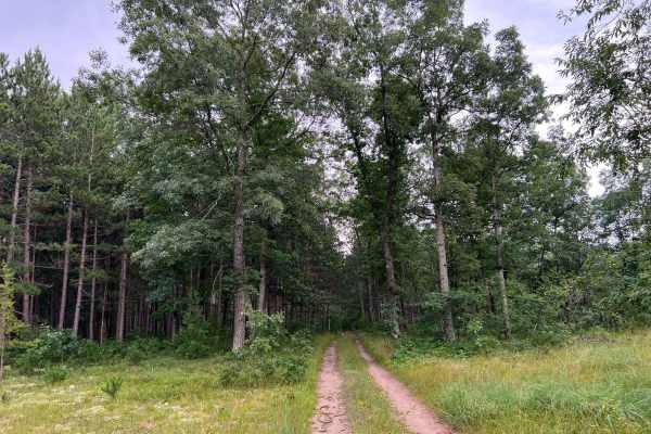
Forest Service Road 8259
Forest Service Road 8259 is located in the Manistee National Forest. This trail runs from its intersection with Old Stonarch Road to East County Line Road. The trail is located on the Western Edge of the Manistee National Forest. Roughly 15 minutes southwest of the town of Manistee. The trail is a t...
Learn more about Forest Service Road 8259
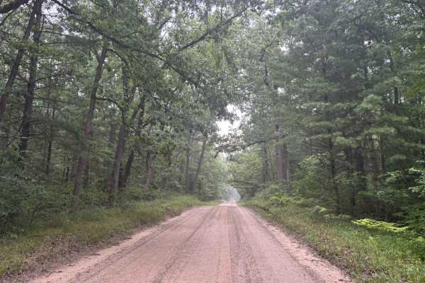
South County Line Road
South County Line Road runs from the intersection of Rybicki Road and East County Line Road to the intersections of FS M10, and North Campbell Road. South County Line Road, as the name implies, runs along the southern edge of Manistee County. The trail is a wide open gravel road that allows quick an...
Learn more about South County Line Road
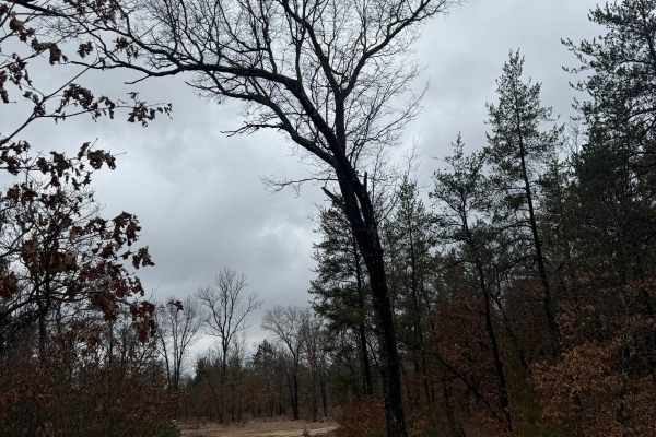
FS 8620
FS 8620 is a fun in-and-out trail within the Manistee National Forest. Located just off FS 8535, it's easily accessible and gives so much. Starting from the east end right off FS 8535, you'll begin on a sandy trail that will quickly transition to a leaf- and rock-covered trail. As you zig-zag along ...
Learn more about FS 8620
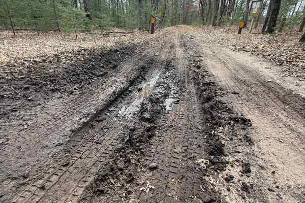
FS 8481
FS 8481 is an easy and quick out-and-back scenic trail within the Manistee National Forest. Located just south of Little River Road, this trail is easily accessible. Starting from the northern end, you'll start out on a dirt road. You'll quickly come across a sign talking about the Huron-Manistee Na...
Learn more about FS 8481
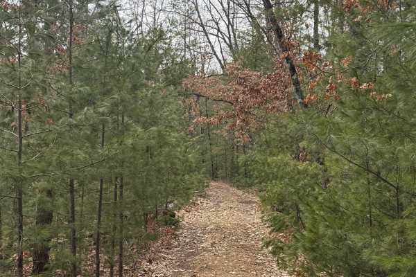
FS 8198
FS 8198 is a unique Michigan bidirectional trail within the Manistee National Forest. Located between Skocelas Road South from the east and Marzinski Road from the west, this trail is easily accessible. Starting from the eastern end off Skocelas Road South, you'll start out on a dirt road covered wi...
Learn more about FS 8198
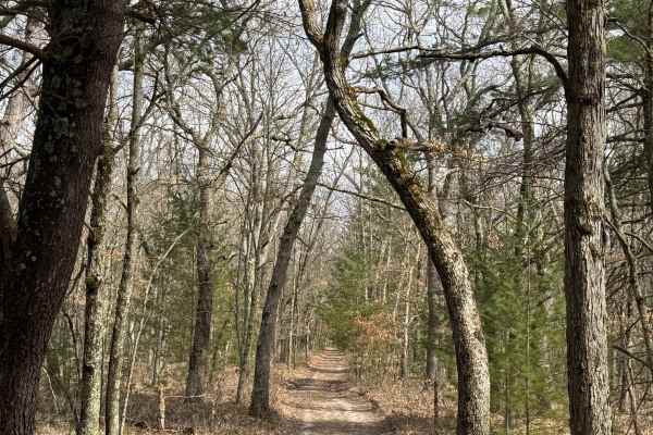
FS 9955
FS 9955 is a unique 1.4-mile bidirectional trail within the Manistee National Forest. Located off Good Road (FS 8160) from the east or Skocelas Road South from the west, this trail is easily accessible. Starting from the western end off of a nearby trail, you'll start off on a dirt road with towerin...
Learn more about FS 9955
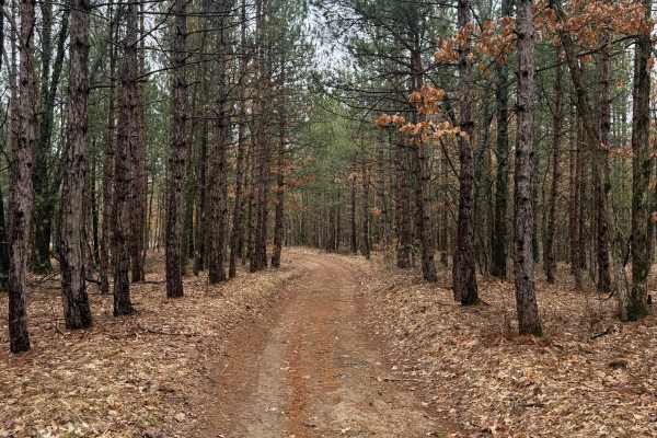
FS 5037
FS 5037 is an exciting and fun 1.3-mile trail within the Manistee National Forest. Located just north of East Hasenbank Road, this trail is easily accessible. Starting from the south end, you'll start in a thick section of the forest with lush vegetation edging the trail. This route crosses over som...
Learn more about FS 5037
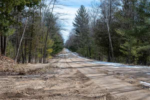
West Nurnberg Road
West Nurnberg Road offers a scenic drive through the Manistee National Forest on a well-maintained two-lane gravel road with plenty of room for passing. The views along the entire route are outstanding, and there are several opportunities to branch off onto two-track trails like Trail 5346, FS 5729,...
Learn more about West Nurnberg Road
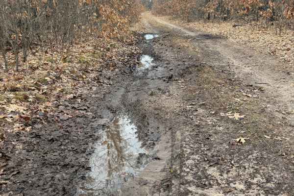
FS 8535
FS 8535 is an easy 1.4-mile bidirectional trail within the Manistee National Forest. Located off South County Line Road from the north or FS 8369 from the south, you'll find this trail to be easily accessible. Starting from the southern end, you'll begin on a sandy road full of thick trees and veget...
Learn more about FS 8535
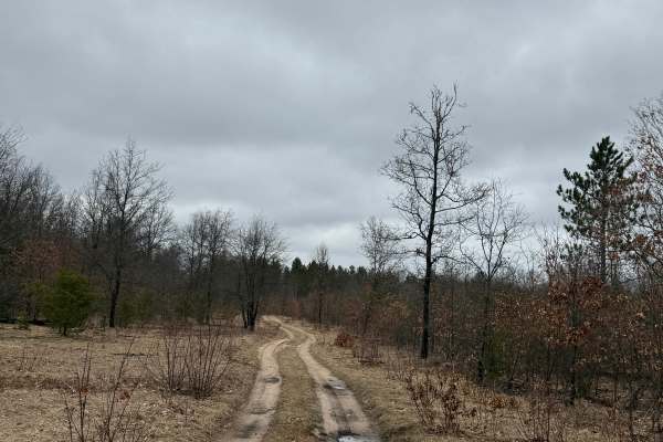
FS 8365
FS 8365 is a classic 1.1-mile Michigan bidirectional trail within the Manistee National Forest. Located off FS 8369, you'll find the south end of the trail, making it easily accessible. Starting from the southern end, you'll start on a sandy track. This route is mostly open compared to a vast majori...
Learn more about FS 8365
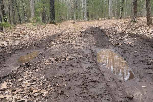
FS 8479
FS 8479 is a quick out-and-back trail that is scenic in its own ways. Located within the Manistee National Forest off South County Line Road, this trail is easily accessible. Starting from the southern end right off South County Line Road, you'll start out on a dirt/gravel road in the lush trees. Yo...
Learn more about FS 8479
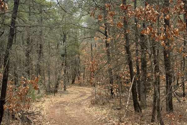
FS 8560
FS 8560 is a fun 1.8-mile bidirectional trail located within the Manistee National Forest. Positioned just off East Hoague Road, it's a very accessible, easy trail. Starting from the west end, you'll begin on a smooth sandy track with magnificent trees just lining this trail as far as the eye can se...
Learn more about FS 8560
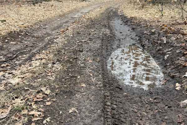
FS 8369
FS 8369 is a unique and beautifully scenic trail within the Manistee National Forest. Located directly off East Hoague Road, this trail is super easy to access. Starting from the southern end, you'll start on a sandy track with some " to die for" scenery. Shortly into the trail, it begins to transit...
Learn more about FS 8369
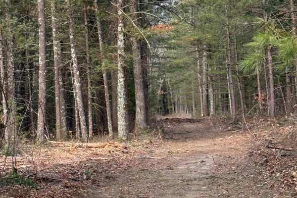
FS 8333
FS 8333 is a 1-mile bidirectional two-track in Michigan's Manistee National Forest that offers an easy drive through a peaceful stand of mature pine trees. Connecting Becker Road and North Skocelas Road, the trail is easily accessed from either end and follows a mix of dirt, sand, and leaf-covered s...
Learn more about FS 8333
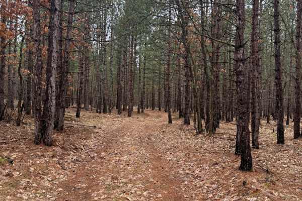
FS 8541
FS 8541 is an easy bidirectional trail within the Manistee National Forest. Located just off FS 5037, this trail is easily accessible. Starting from the west end, you'll start on a dirt road with thick and lush vegetation edging the trail. This area has tons of pine trees that are just so beautiful!...
Learn more about FS 8541
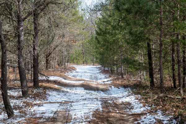
FS 5690
FS 5690 is a great, easy two-track route through the Manistee National Forest. The trail has a dirt base, is typically one vehicle wide, and includes occasional spots for passing. The main access point is off Morton Road on the south end. While the trail is generally not difficult, there are a few l...
Learn more about FS 5690
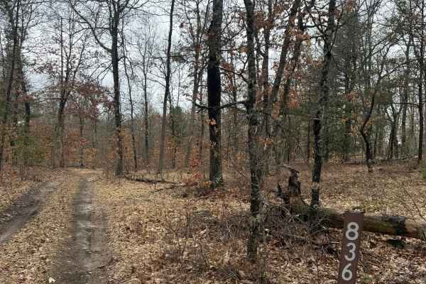
FS 8367
FS 8367 is an easy 1.3 bidirectional trail within the Manistee National Forest. Located off South County Line Road from the north and FS 8369 from the south, you'll find it easy to access this trail from either direction. Starting from the northern end, you'll begin on a sandy track with towering tr...
Learn more about FS 8367
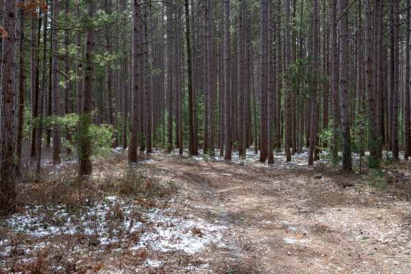
FS 5746
FS 5746 is a beautiful two-track that winds through the Manistee National Forest. The trail features a mix of sand and dirt, is generally easy to travel on, and offers occasional room to pass. Some sections can become muddy after rain or feel a bit tight due to the surrounding trees, but nothing too...
Learn more about FS 5746
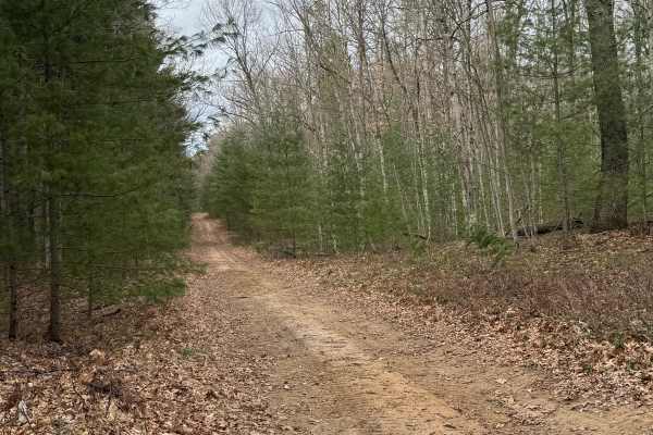
FS 8630
FS 8630 is an easy 1.1-mile bidirectional trail within the Manistee National Forest. Located between Steinberg Road (FS 5502) and FS 8180, this trail is easily accessible. Having all these trails so close together really helps make for quite the adventure. Starting from the southern end of FS 8180, ...
Learn more about FS 8630
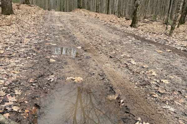
FS 8180
FS 8180 is a fun and entertaining 1.8-mile bidirectional trail within the Manistee National Forest. Located between FS 8190 from the east and Koon Road from the west, this trail is easily accessible. Starting from the western end, you'll start out on a dirt road in a section of the forest with lush ...
Learn more about FS 8180
Beginner ATV trails near Filer City, Michigan
Explore ATV-friendly trails near you. These trails are accessible for vehicles up to 50 inches wide, perfect for ATVs and smaller off-road machines.
Forest Service Road 8259
Forest Service Road 8259 is located in the Manistee National Forest. This trail runs from its intersection with Old Stonarch Road to East County Line Road. The trail is located on the Western Edge of the Manistee National Forest. Roughly 15 minutes southwest of the town of Manistee. The trail is a t...
Learn more about Forest Service Road 8259
FS 8620
FS 8620 is a fun in-and-out trail within the Manistee National Forest. Located just off FS 8535, it's easily accessible and gives so much. Starting from the east end right off FS 8535, you'll begin on a sandy trail that will quickly transition to a leaf- and rock-covered trail. As you zig-zag along ...
Learn more about FS 8620
FS 8481
FS 8481 is an easy and quick out-and-back scenic trail within the Manistee National Forest. Located just south of Little River Road, this trail is easily accessible. Starting from the northern end, you'll start out on a dirt road. You'll quickly come across a sign talking about the Huron-Manistee Na...
Learn more about FS 8481
FS 8198
FS 8198 is a unique Michigan bidirectional trail within the Manistee National Forest. Located between Skocelas Road South from the east and Marzinski Road from the west, this trail is easily accessible. Starting from the eastern end off Skocelas Road South, you'll start out on a dirt road covered wi...
Learn more about FS 8198
Beginner UTV/side-by-side trails near Filer City, Michigan
Find UTV and side-by-side trails near you. These trails accommodate vehicles up to 60 inches wide, ideal for UTVs, side-by-sides, and wider off-road rigs.
Forest Service Road 8259
Forest Service Road 8259 is located in the Manistee National Forest. This trail runs from its intersection with Old Stonarch Road to East County Line Road. The trail is located on the Western Edge of the Manistee National Forest. Roughly 15 minutes southwest of the town of Manistee. The trail is a t...
Learn more about Forest Service Road 8259
FS 8620
FS 8620 is a fun in-and-out trail within the Manistee National Forest. Located just off FS 8535, it's easily accessible and gives so much. Starting from the east end right off FS 8535, you'll begin on a sandy trail that will quickly transition to a leaf- and rock-covered trail. As you zig-zag along ...
Learn more about FS 8620
FS 8481
FS 8481 is an easy and quick out-and-back scenic trail within the Manistee National Forest. Located just south of Little River Road, this trail is easily accessible. Starting from the northern end, you'll start out on a dirt road. You'll quickly come across a sign talking about the Huron-Manistee Na...
Learn more about FS 8481
FS 8198
FS 8198 is a unique Michigan bidirectional trail within the Manistee National Forest. Located between Skocelas Road South from the east and Marzinski Road from the west, this trail is easily accessible. Starting from the eastern end off Skocelas Road South, you'll start out on a dirt road covered wi...
Learn more about FS 8198
The onX Offroad Difference
onX Offroad combines trail photos, descriptions, difficulty ratings, width restrictions, seasonality, and more in a user-friendly interface. Available on all devices, with offline access and full compatibility with CarPlay and Android Auto. Discover what you're missing today!
Open Trail Map