
Beginner Off-Road Trails
Near East Lexington, Virginia
Explore All Beginner Trails Near East Lexington, Virginia
Beginner Off-Road Trails Near East Lexington, Virginia
Discover the best beginner-friendly off-road trails near you. These easier, lower-rated trails are a great place to start — browse trail maps, check difficulty ratings, and find your next adventure.
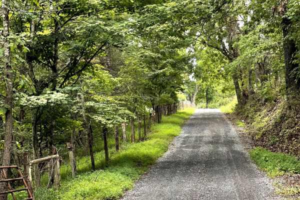
Adair Hill
Adair Hill is a scenic gravel route that users can combine with Chestnut Grove Trail, Fredericksburg Road, and Whiteside Road to create a loop and spend a few hours exploring the countryside in a beautiful mountain setting.
The trail consists of hard-packed, winding gravel and is well maintained and...
Learn more about Adair Hill
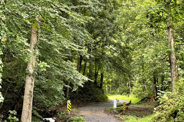
Whiteside Road
Whiteside Road is another great option within the local gravel road network, connecting users to other off-road routes in the area, creating a scenic loop. This well-maintained, hard-packed gravel road is free of significant obstacles and provides an easy and enjoyable route through the countryside....
Learn more about Whiteside Road
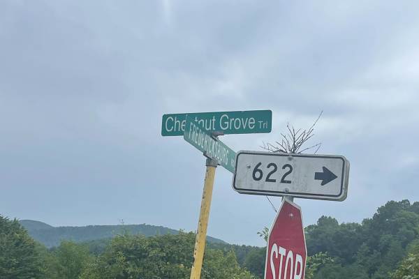
Chestnut Grove Trail
This trail begins or ends along State Route 623, where you are greeted with an amazing view of Big Butt and Little Butt Mountains. Overall, this is a fast-paced, hard-packed gravel trail that provides a great non-paved travel option through the area.
The trail is approximately two lanes wide and is ...
Learn more about Chestnut Grove Trail
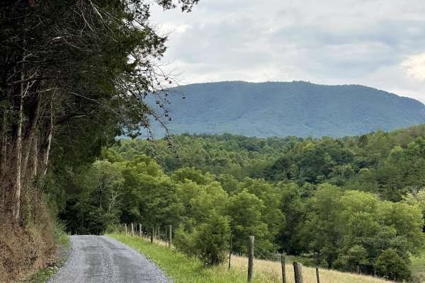
South Sugar Creek
South Sugar Hill is located just west of the community of Effinger and offers users a peaceful traverse along a well-maintained, hard-packed, two-lane gravel road. The route provides a relaxing opportunity to explore the Virginia countryside while enjoying the area's rural scenery.
One of the highli...
Learn more about South Sugar Creek
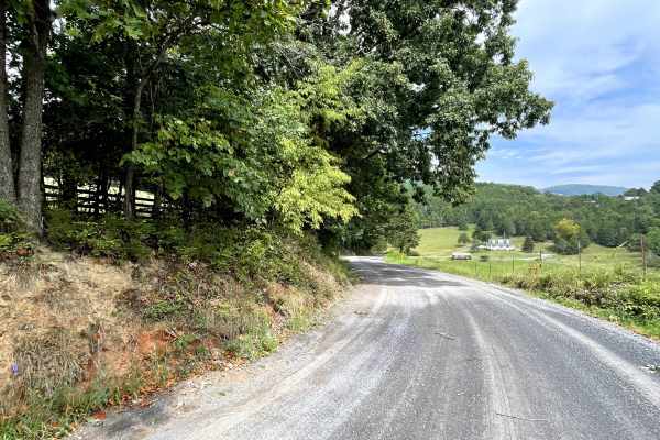
Fredericksburg Road
Fredericksburg Road adds another great option to the local gravel road network, giving users an opportunity to explore the breathtaking countryside and enjoy wonderful views of the surrounding mountains. The route offers a peaceful rural experience, with an abundance of farmland and opportunities to...
Learn more about Fredericksburg Road
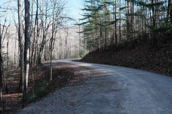
Shady Mountain Road
The northern end of Shady Mountain Road starts just east of the Blue Ridge Parkway near the town of Buena Vista. It travels mostly south towards the Lynchburg Reservoir for 7.5 miles. Along the route, there are a few campsites. Some are along spur trails, and a few near the southern terminus are jus...
Learn more about Shady Mountain Road
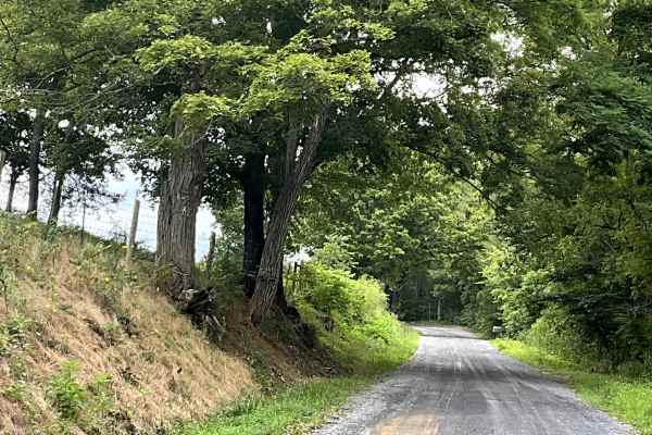
Little Dry Hollow
Little Dry Hollow is another enjoyable addition to the local gravel road network, offering users a peaceful route through beautiful farm country and surrounding mountain scenery. The trail consists of a well-maintained, hard-packed gravel surface that provides easy and comfortable travel without sig...
Learn more about Little Dry Hollow
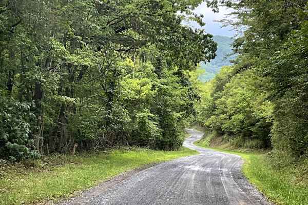
Hayslette Road
Hayslette Road begins just south of Lake Robertson and is a well-maintained, hard-packed county road that provides users with access to Route 634 and the base of North Mountain. This route is another excellent addition to the local gravel road network and offers a peaceful way to explore the surroun...
Learn more about Hayslette Road
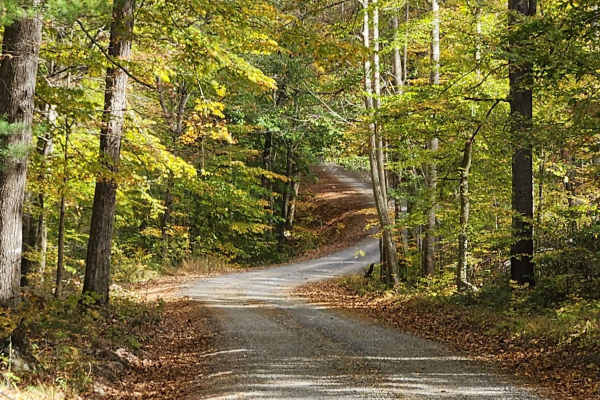
Little Irish Road - FS 311
This trail is a maintained gravel road that follows Irish Creek and offers multiple large camping areas with access to the water. It provides an easy and scenic drive, especially during the fall season. Gates are located at each end of the road, though no signage indicates when they close. This road...
Learn more about Little Irish Road - FS 311
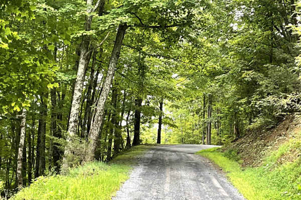
State Route 770
State Route 770 begins as a well-maintained gravel road before gradually climbing toward the summit of North Mountain. Along the climb, users will find an overlook that provides a beautiful view of Lake Robertson and the surrounding countryside. The route remains well maintained throughout the year,...
Learn more about State Route 770
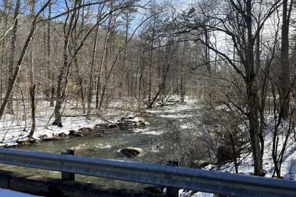
Swapping Camp
This trail is mostly graded gravel, with some dirt and a few rocky sections. There are multiple water features, small waterfalls along the trail, one-lane bridges, and scenic waysides. There are dispersed campsites in abundance in the area, and the trailhead to the Appalachian Trail is on Swapping C...
Learn more about Swapping Camp
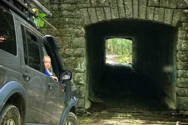
Enchanted Creek
A seasonal forest route that traces along the Blue Ridge Parkway at a lower elevation. The surface is natural dirt with rocks, mud, and stream crossings. A tunnel around the mid-point passes under the BRP. Several mud holes are of varying difficulty depending on recent rain. The trail can be accesse...
Learn more about Enchanted Creek
Route 654
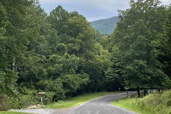
Route 654 is a short but well-maintained gravel route that is free of significant obstacles and suitable for most 2WD and 4WD vehicles. Despite its shorter length, this route provides users with access to North Mountain and serves as another option for reaching the mountain trailhead. One of the hig...
Learn more about Route 654
Hog Camp
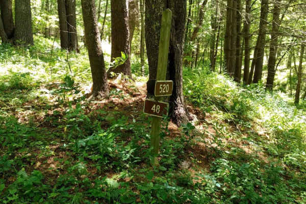
Hog Camp Road is a scenic 5.8-mile mountain route through the George Washington National Forest, perfect for stock four-wheel-drive vehicles, high-clearance SUVs, and SxSs looking for high-elevation access. Climbing over 1,200 feet from a minimum elevation of 2,465 feet up to a peak of 3,505 feet, t...
Learn more about Hog Camp
Cow Camp Road
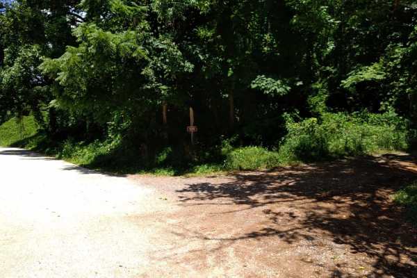
Cow Camp Road is an inviting mountain route in the George Washington National Forest that offers offroaders of all skill levels a gentle climb through scenic hardwood forests and quick access to famous Blue Ridge hiking trails. Spanning approximately 3.4 miles, this unpaved forest road ascends the s...
Learn more about Cow Camp Road
Little California
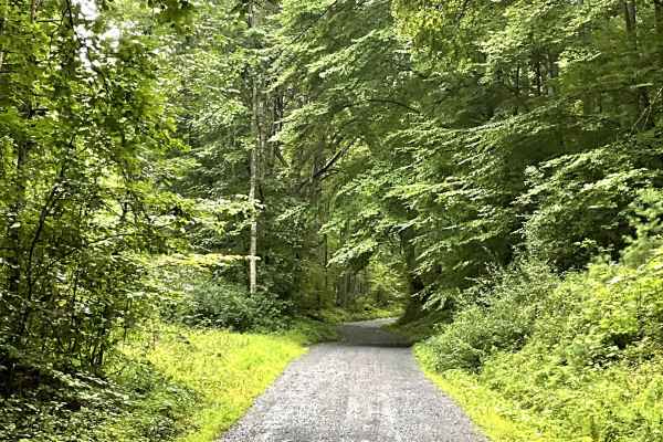
Little California is a well-maintained gravel road that provides users with another enjoyable option for unpaved travel while connecting to Top Road. The route travels through the small community of California and offers a peaceful way to explore the surrounding countryside.
The hard-packed gravel s...
Learn more about Little California
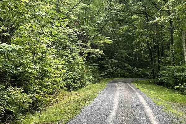
Top Road
Top Road is easily accessed from I-64 and provides users with a scenic route to the top of North Mountain. This well-maintained, two-lane gravel road follows the ridgeline, offering beautiful views of the surrounding mountains and countryside along the way. The Route is especially enjoyable in the f...
Learn more about Top Road
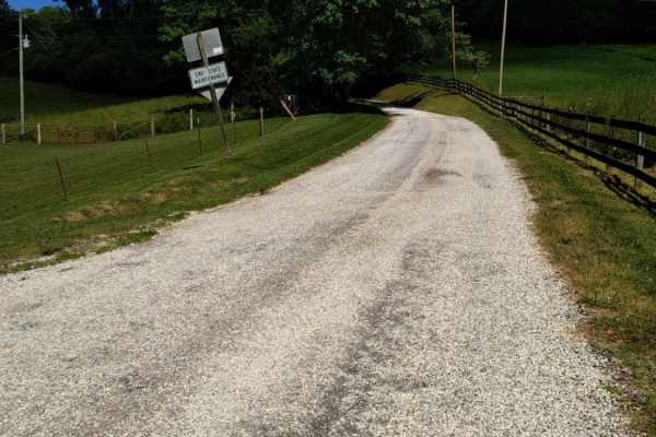
Big Piney
Big Piney is a gravel road passing through a portion of the George Washington National Forest, offering access to hiking, camping and swimming. The trail is rocky and typically unmaintained after rain or snow. You may encounter shallow water crossings and obstacles under 12" on the trail, including ...
Learn more about Big Piney
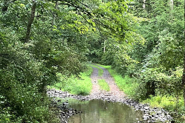
Needle Lane
Needle Lane is a scenic trail with countryside views that look like they belong on the pages of a magazine. The trail is well maintained but is primarily single track, with several areas where users can pull over to allow oncoming traffic to pass.
A small water crossing adds to the scenic and pictur...
Learn more about Needle Lane
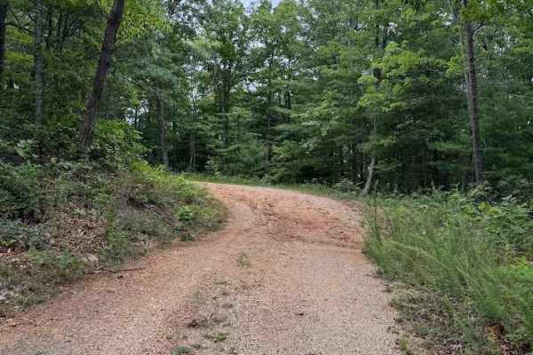
Cedar Bridge Hollow
Cedar Bridge Hollow, designated as FS 36D, is a seasonally open route with access from April 1 through January 10. The trail begins as an easy, well‑maintained gravel road with minimal vegetation overgrowth. As it climbs the mountain and continues deeper into the forest, the difficulty increases to ...
Learn more about Cedar Bridge Hollow
Beginner ATV trails near East Lexington, Virginia
Explore ATV-friendly trails near you. These trails are accessible for vehicles up to 50 inches wide, perfect for ATVs and smaller off-road machines.
Hog Camp
Hog Camp Road is a scenic 5.8-mile mountain route through the George Washington National Forest, perfect for stock four-wheel-drive vehicles, high-clearance SUVs, and SxSs looking for high-elevation access. Climbing over 1,200 feet from a minimum elevation of 2,465 feet up to a peak of 3,505 feet, t...
Learn more about Hog Camp
Cow Camp Road
Cow Camp Road is an inviting mountain route in the George Washington National Forest that offers offroaders of all skill levels a gentle climb through scenic hardwood forests and quick access to famous Blue Ridge hiking trails. Spanning approximately 3.4 miles, this unpaved forest road ascends the s...
Learn more about Cow Camp Road
Big Piney
Big Piney is a gravel road passing through a portion of the George Washington National Forest, offering access to hiking, camping and swimming. The trail is rocky and typically unmaintained after rain or snow. You may encounter shallow water crossings and obstacles under 12" on the trail, including ...
Learn more about Big Piney
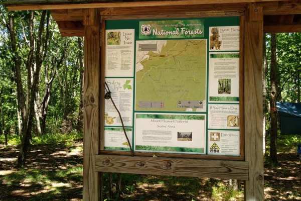
FR51-AT
This short offshoot from Hog Camp Trail leads to the Mount Pleasant Scenic Area with opportunities for hiking and camping.
Learn more about FR51-AT
Beginner UTV/side-by-side trails near East Lexington, Virginia
Find UTV and side-by-side trails near you. These trails accommodate vehicles up to 60 inches wide, ideal for UTVs, side-by-sides, and wider off-road rigs.
Hog Camp
Hog Camp Road is a scenic 5.8-mile mountain route through the George Washington National Forest, perfect for stock four-wheel-drive vehicles, high-clearance SUVs, and SxSs looking for high-elevation access. Climbing over 1,200 feet from a minimum elevation of 2,465 feet up to a peak of 3,505 feet, t...
Learn more about Hog Camp
Cow Camp Road
Cow Camp Road is an inviting mountain route in the George Washington National Forest that offers offroaders of all skill levels a gentle climb through scenic hardwood forests and quick access to famous Blue Ridge hiking trails. Spanning approximately 3.4 miles, this unpaved forest road ascends the s...
Learn more about Cow Camp Road
Big Piney
Big Piney is a gravel road passing through a portion of the George Washington National Forest, offering access to hiking, camping and swimming. The trail is rocky and typically unmaintained after rain or snow. You may encounter shallow water crossings and obstacles under 12" on the trail, including ...
Learn more about Big Piney
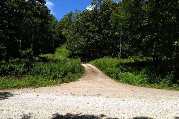
FR1176
FR1176, also known as Rocky Mountain Road, is an ideal route for offroaders seeking a short but scenic mountain climb that leads to impressive high-elevation vistas in the George Washington and Jefferson National Forests. Beginning at Salt Log Gap at an elevation of 3,235 feet, this 1.7-mile trail a...
Learn more about FR1176
The onX Offroad Difference
onX Offroad combines trail photos, descriptions, difficulty ratings, width restrictions, seasonality, and more in a user-friendly interface. Available on all devices, with offline access and full compatibility with CarPlay and Android Auto. Discover what you're missing today!
Open Trail Map