Trail Overview
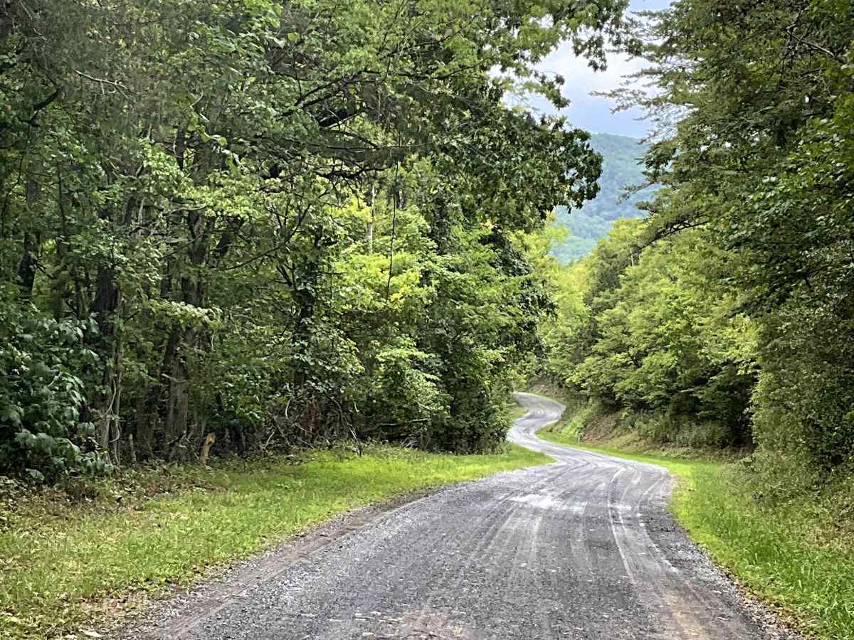
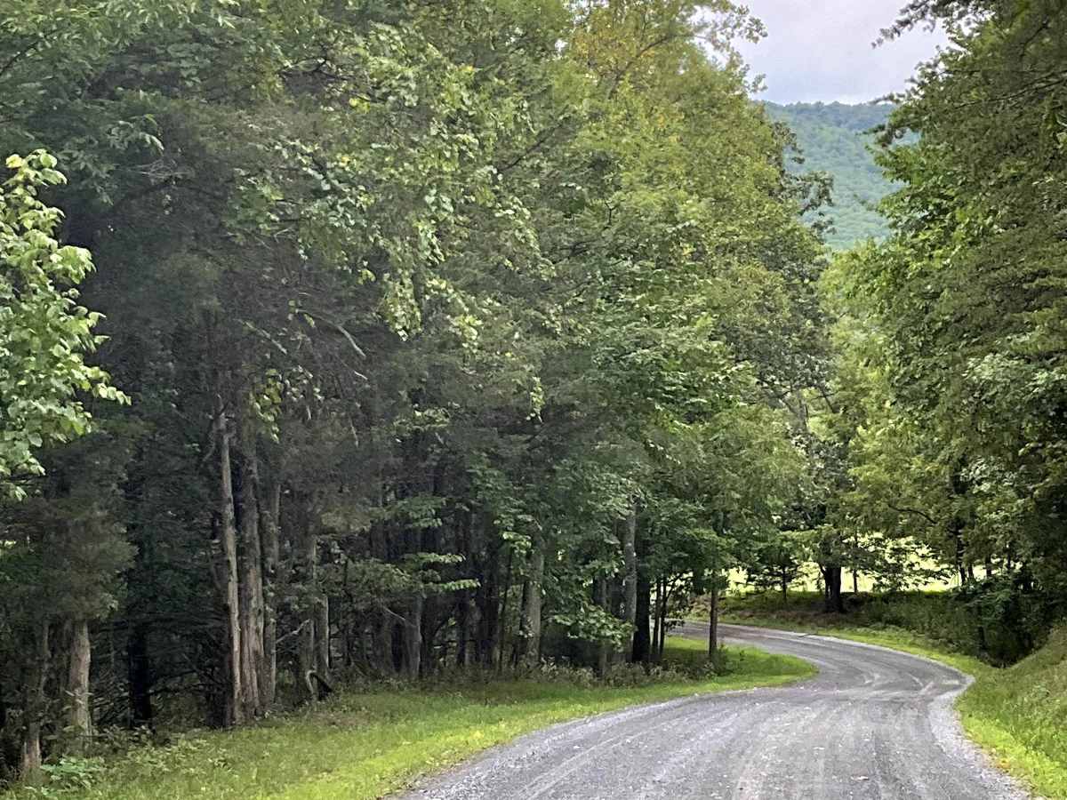
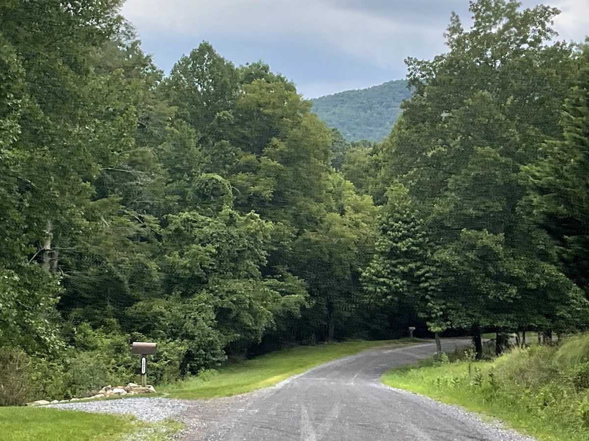
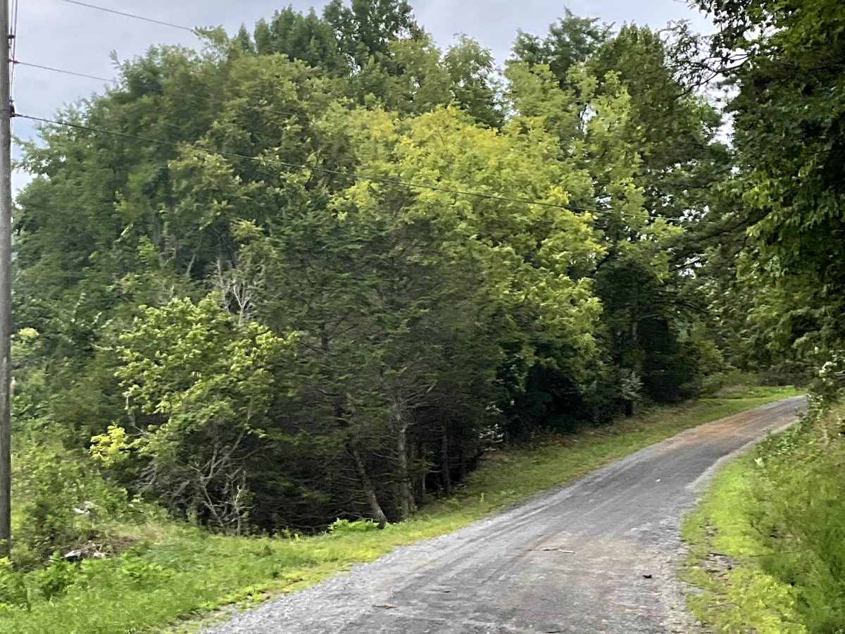
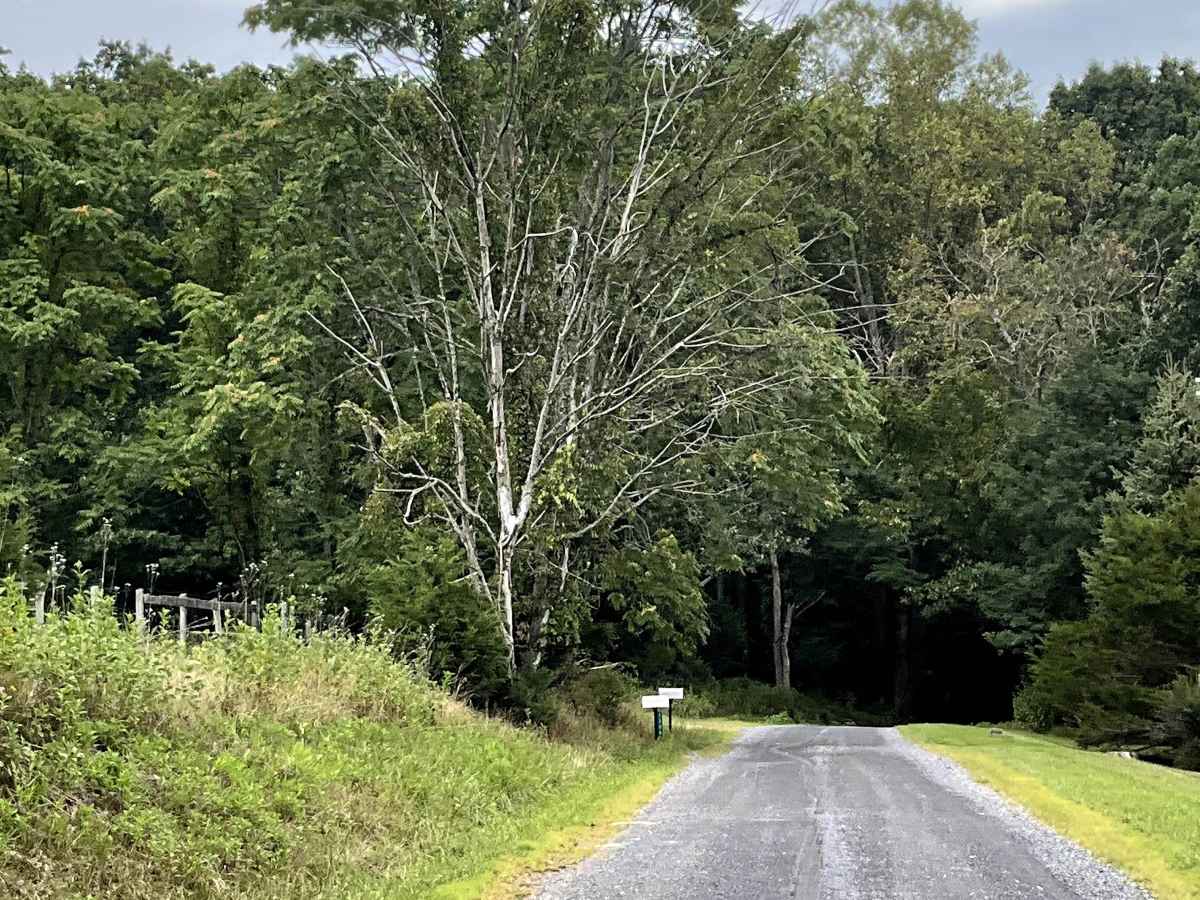
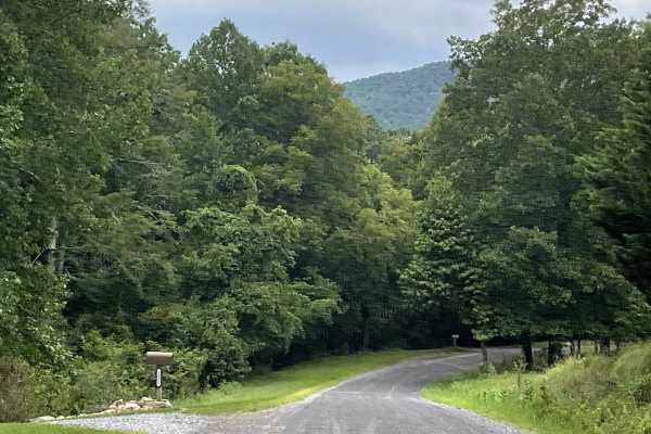
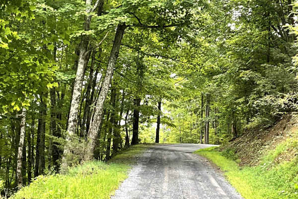
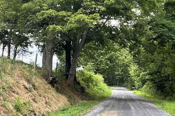
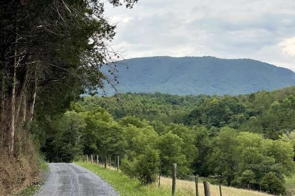
Hayslette Road begins just south of Lake Robertson and is a well-maintained, hard-packed county road that provides users with access to Route 634 and the base of North Mountain. This route is another excellent addition to the local gravel road network and offers a peaceful way to explore the surrounding countryside. Like many of the other routes in the area, Hayslette Road is free of significant obstacles and is suitable for most 2WD and 4WD vehicles. The well-maintained surface makes for an easy and enjoyable drive while still providing users with access to the mountain landscape. One of the highlights of Hayslette Road is the opportunity to enjoy amazing views of the local flora and fauna along the route. With its easy terrain, scenic surroundings, and connections to other area routes, Hayslette Road is a worthwhile option for users looking to explore the area beyond paved roads.