Trail Overview
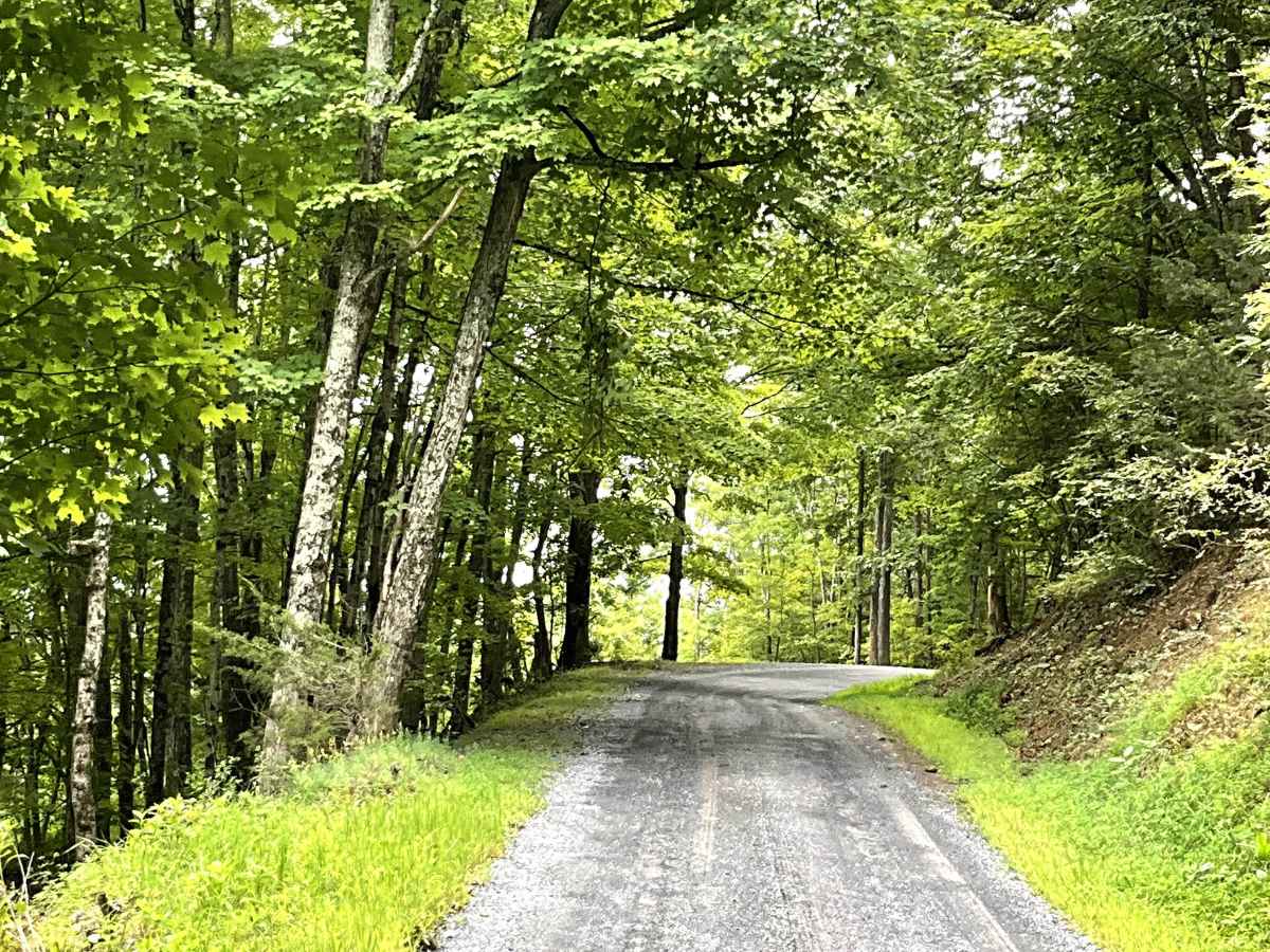
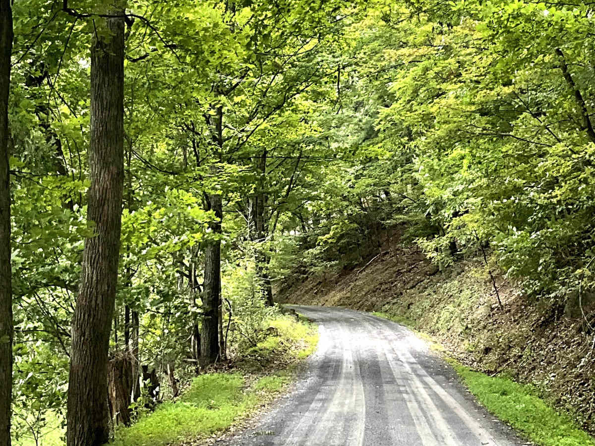
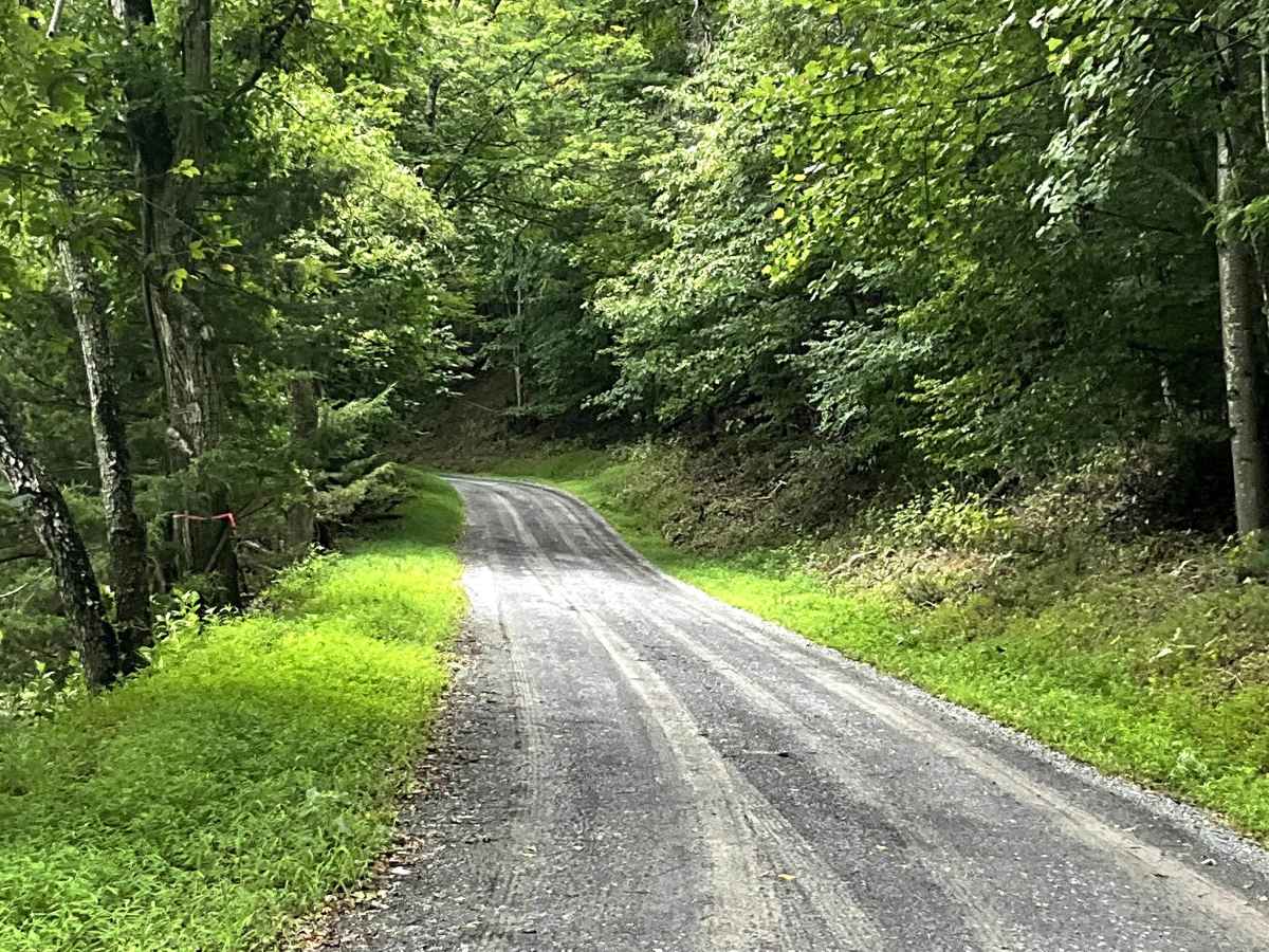
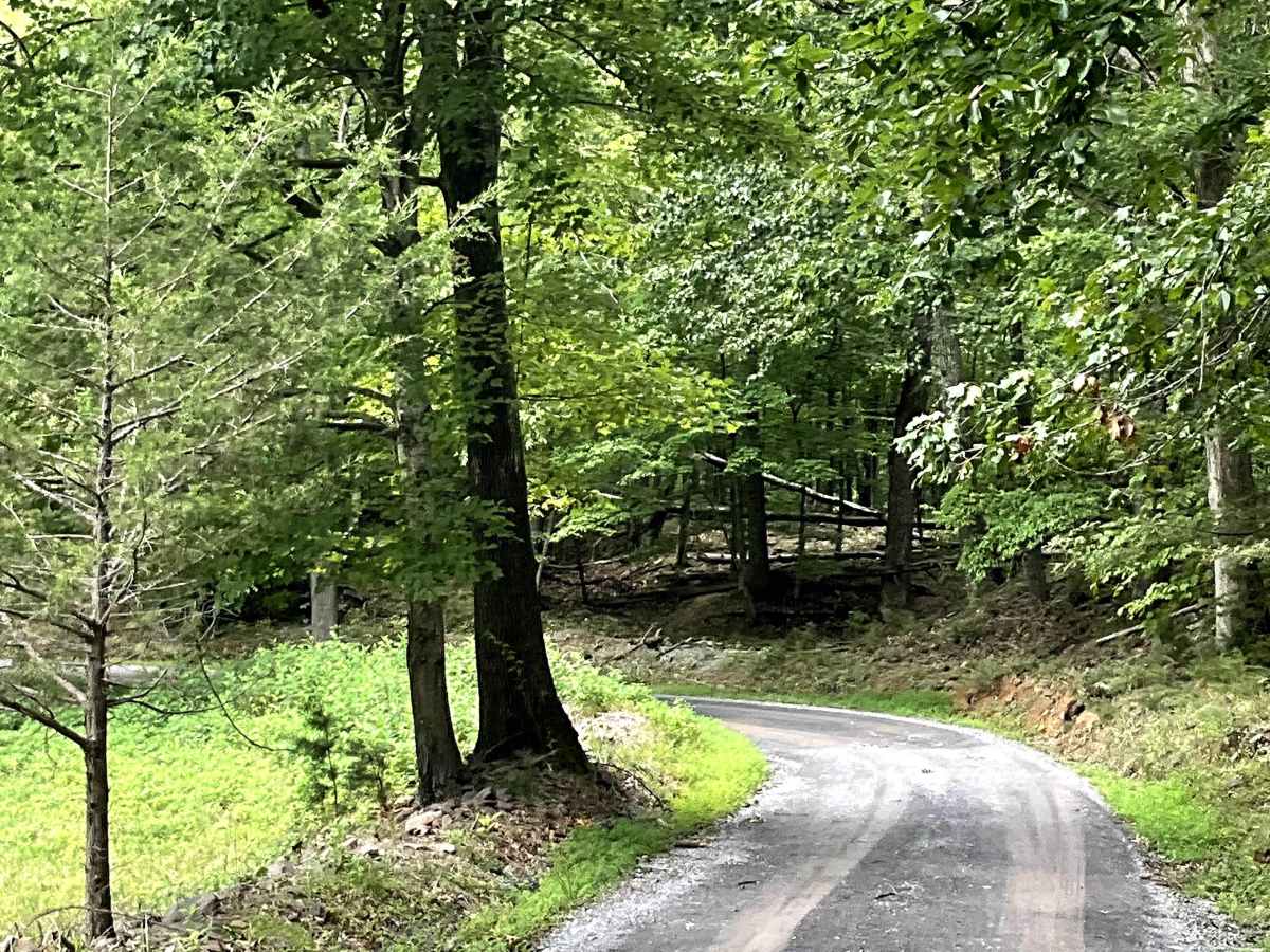
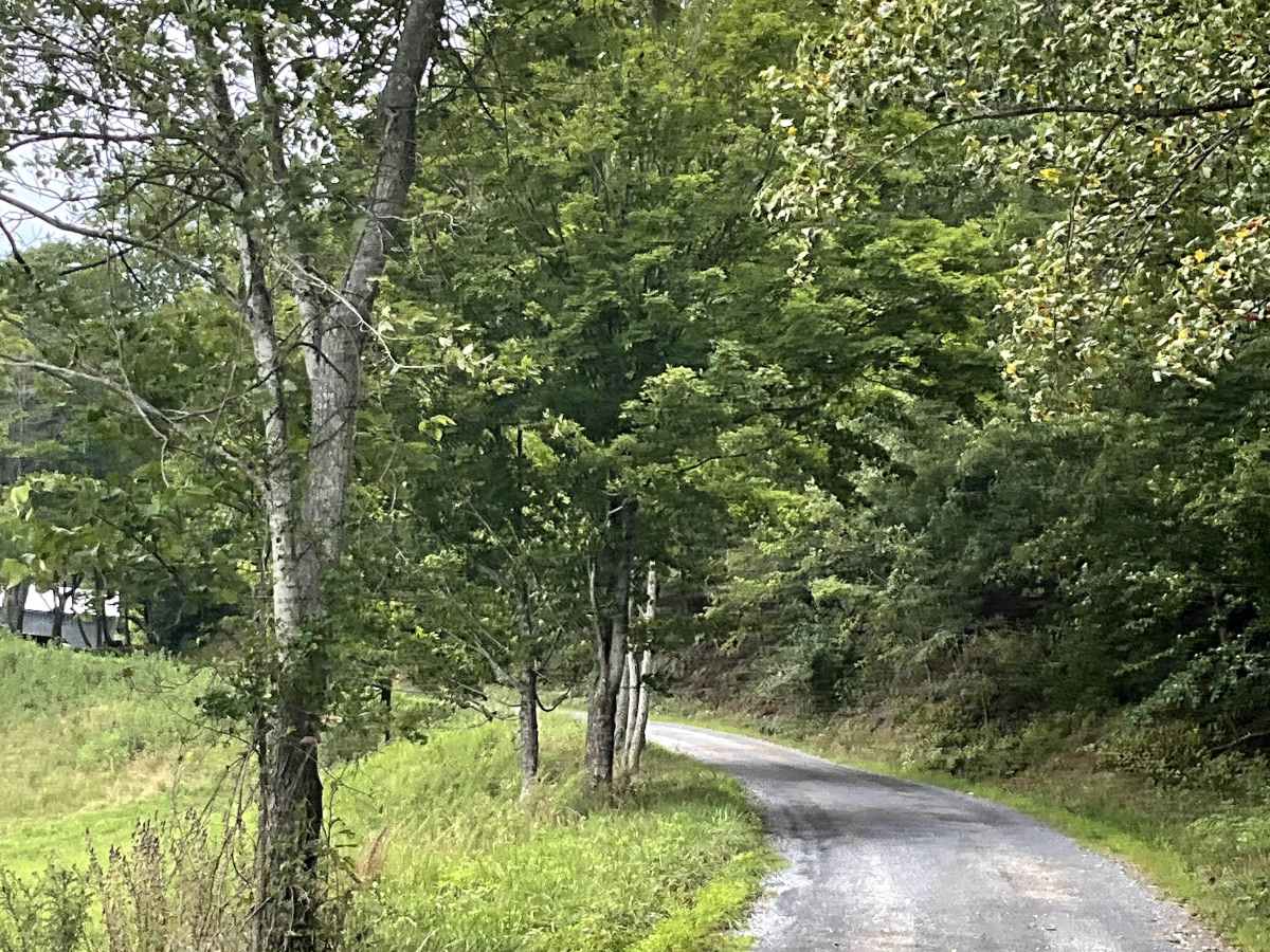
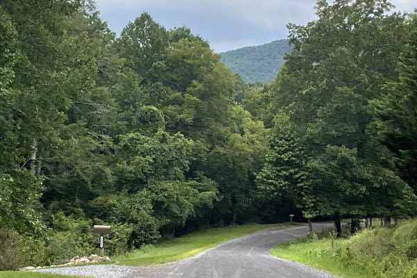
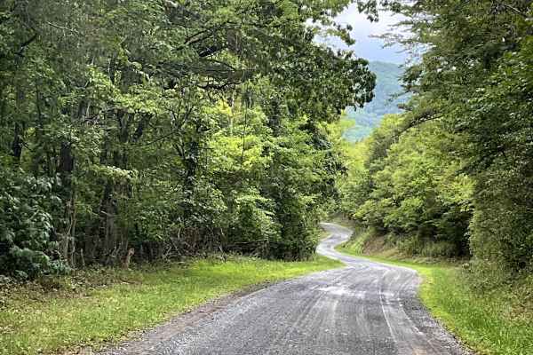
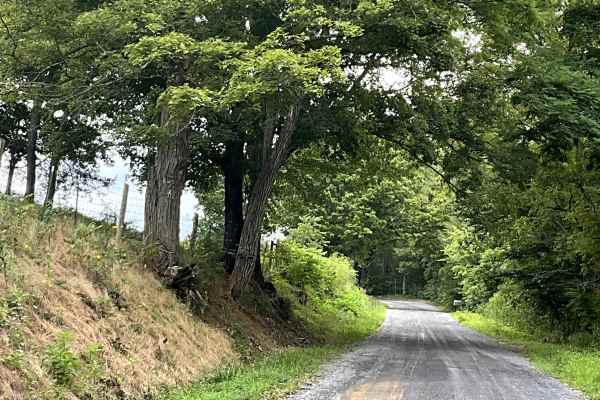
State Route 770 begins as a well-maintained gravel road before gradually climbing toward the summit of North Mountain. Along the climb, users will find an overlook that provides a beautiful view of Lake Robertson and the surrounding countryside. The route remains well maintained throughout the year, in part because it provides access to a communication tower located near the summit. A gated access road to the tower is located adjacent to the main trail. After crossing the summit, State Route 770 begins its descent into the community of Longdale Furnace. The route provides access to several local hiking trails, with ample parking available at the base of the trail. This makes this route an excellent option for users looking to combine scenic gravel travel, mountain views, and access to local hiking opportunities. With its well-maintained surface, mountain scenery, Lake Robertson overlook, and recreational access, State Route 770 is a worthwhile addition to the local gravel road network.