White Rocks

Total Miles2.6
Technical Rating
1Easy
Best TimeSpring, Summer, Fall, Winter
Trail TypeFull-Width Road
Accessible By
Open Trail Map

Trail Overview

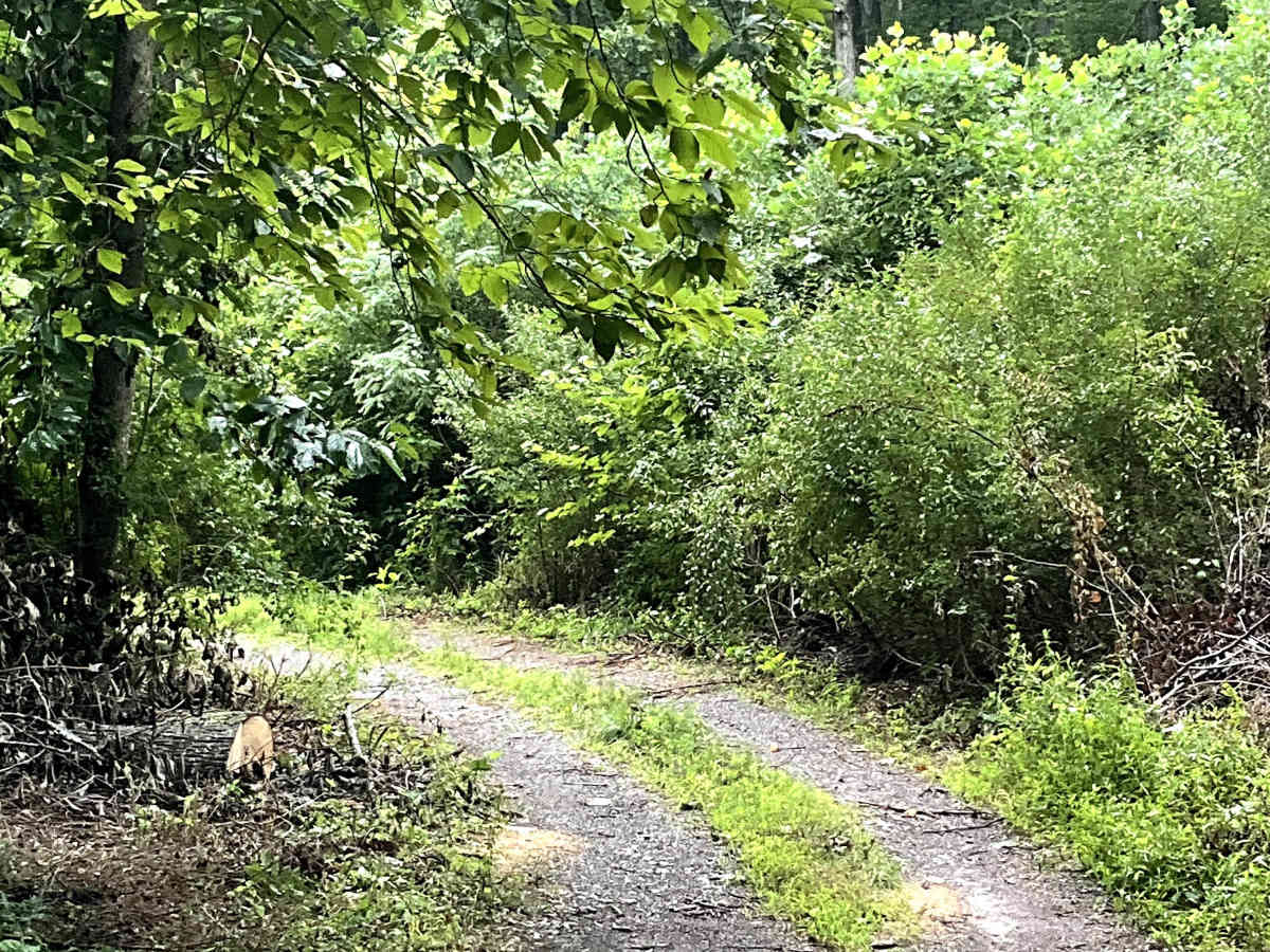
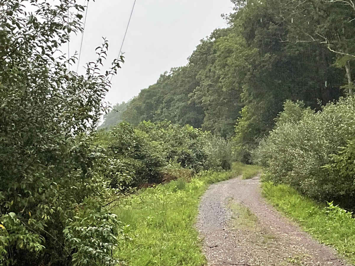
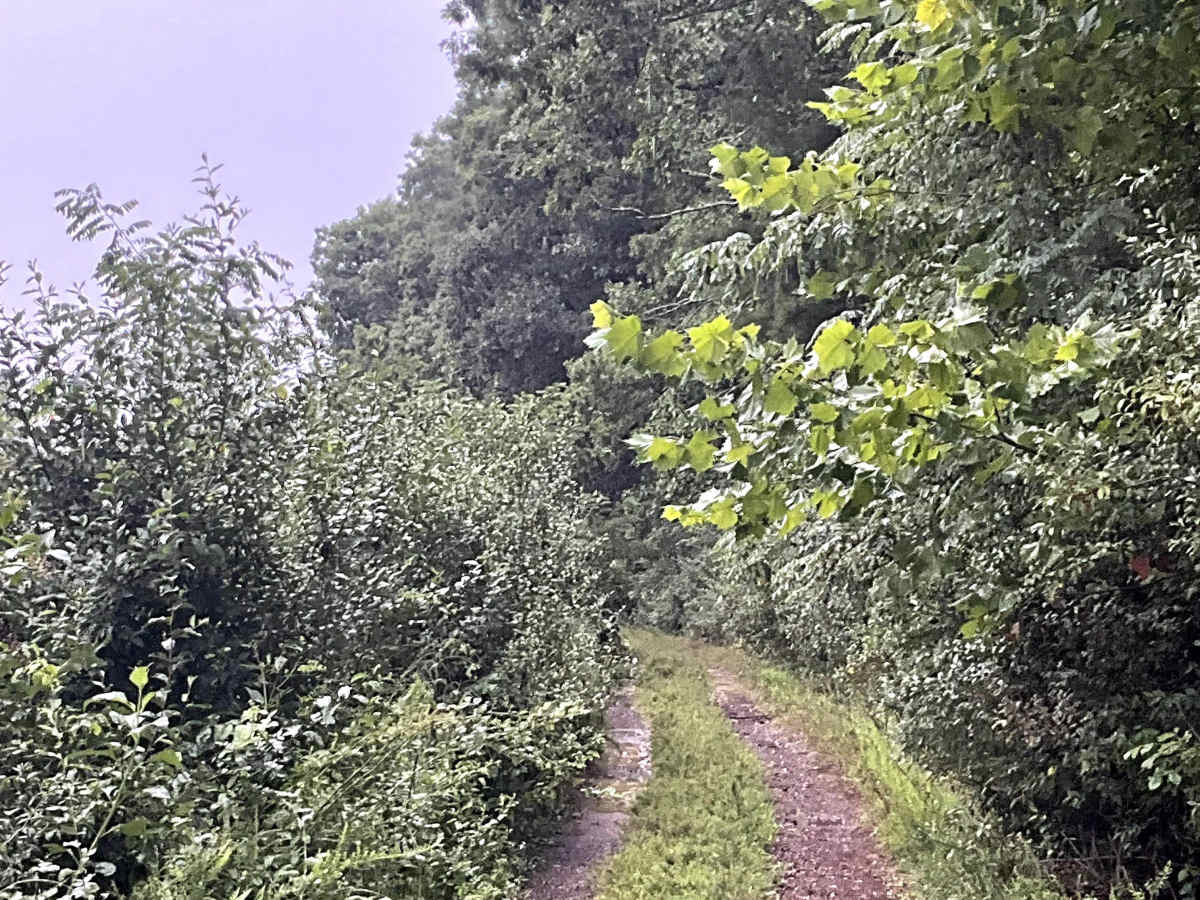
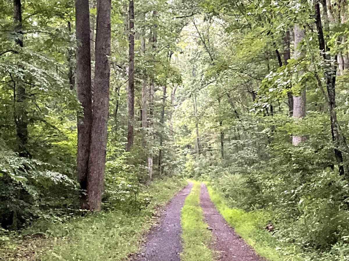
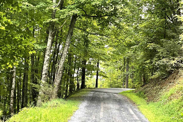
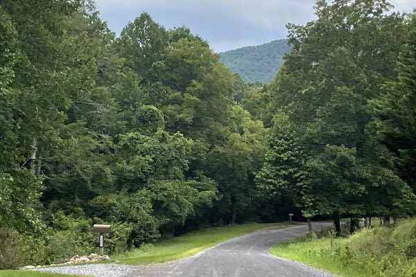
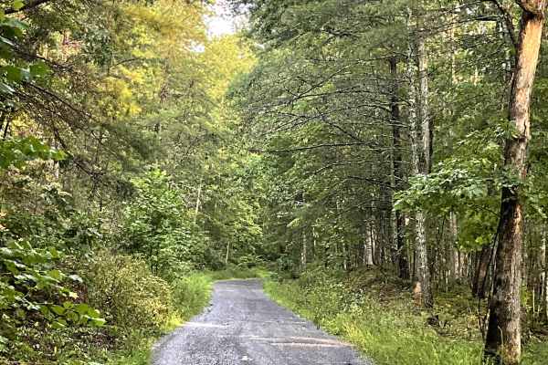
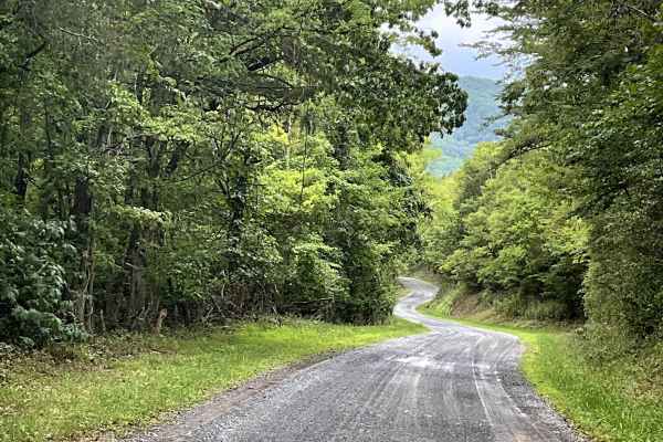
White Rocks is an out-and-back route that ends at a permanently closed USFS gate. The route is overgrown and narrow, requiring users to pay close attention to the road as it winds alongside high-tension power lines. It is not well maintained, but it remains free of major obstacles. Its tight and overgrown character makes for a more rugged experience compared with the better-maintained gravel routes in the area. Users should be prepared for vegetation encroaching on the road and limited room to maneuver. The route ultimately terminates at the former White Rocks Recreation Area, where users will find areas suitable for camping and access to hiking opportunities. While White Rocks may not offer the smoothest or easiest travel, it provides a more remote experience and access to a historic recreation area that is worth exploring.

Photos of White Rocks

Difficulty

This is an easy single-lane dirt road with no significant obstacles.

Technical Rating

1

White Rocks Trail can be accessed by the following ride types:

  • High Clearance
  • Full Width

White Rocks Map

The onX Offroad Difference

onX Offroad combines trail photos, descriptions, difficulty ratings, width restrictions, seasonality, and more in a user-friendly interface. Available on all devices, with offline access and full compatibility with CarPlay and Android Auto. Discover what you're missing today!

Open Trail Map