
Beginner Off-Road Trails
Near Delleker, California
Explore All Beginner Trails Near Delleker, California
Beginner Off-Road Trails Near Delleker, California
Discover the best beginner-friendly off-road trails near you. These easier, lower-rated trails are a great place to start — browse trail maps, check difficulty ratings, and find your next adventure.
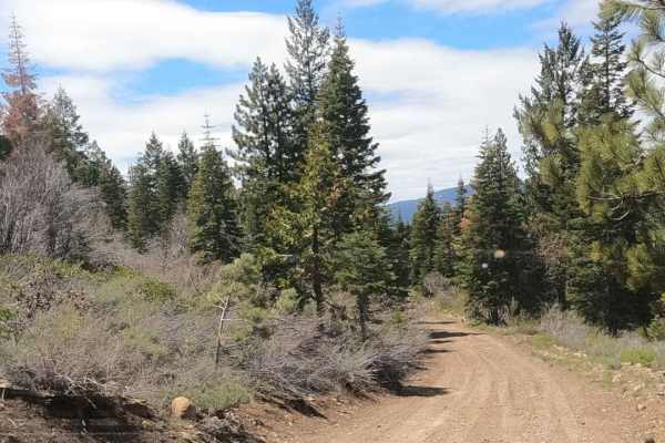
Sugarpine - NF22N55
Dirt Forest Service road accessing a network of roads climbing Beckwourth Mountain just outside of Portola, California. This looks to be the primary route accessing the summit from town. The road is wider and looks more maintained. These roads start at 5,000 feet and climb up to over 7,000 feet, so ...
Learn more about Sugarpine - NF22N55
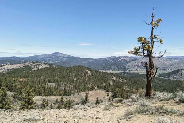
Beckwourth - NF23N03
Beckwourth - NF23N03 is an ideal introductory route for four-wheel-drive vehicles, SxSs, and high-clearance rigs looking to access the sprawling network of forest service roads on Beckwourth Mountain. Starting right outside of Portola, California, at an elevation of 4,875 feet, this 3.45-mile dirt a...
Learn more about Beckwourth - NF23N03
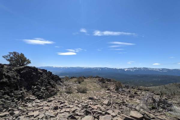
Sugarpine Spur A - NF22N55A
Dirt Forest Service road accessing a network of roads climbing Beckwourth Mountain just outside of Portola, California. This spur accesses the communications tower equipment on private property at the summit of Beckwourth Peak. There is an open gate, and there aren't any No Trespassing signs visible...
Learn more about Sugarpine Spur A - NF22N55A
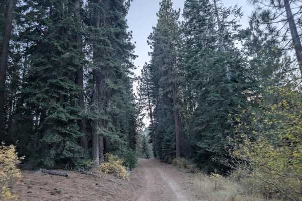
FS 23N15Y
This user-maintained trail is a great option if you want to escape the busier campgrounds around the lake and find a quieter place to spend time. The route is surprisingly beautiful and generally accessible, with one shallow dip you’ll need to navigate carefully. A Sprinter van was parked at the end...
Learn more about FS 23N15Y
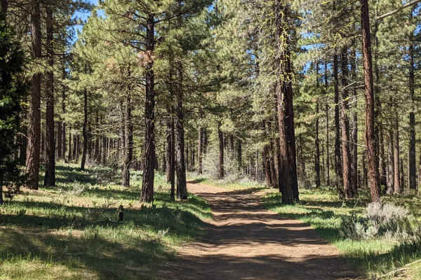
Beckwourth Tie Spur - NF23N03YB
Beckwourth Tie Spur (NF23N03YB) is an easy, 2.5-mile dirt Forest Service road near Portola, California, that offers offroaders scenic access into the rugged trail network of Beckwourth Mountain. Ideal for beginners or those seeking a straightforward connection, this route starts at an elevation of 4...
Learn more about Beckwourth Tie Spur - NF23N03YB
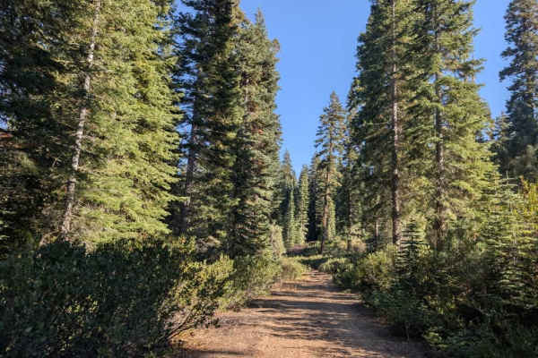
Willow Creek Road
This user-maintained trail offers a comfortable, easygoing drive through the valley and makes a great alternative to the main road if you want to avoid the steeper climb into the mountains. The route stays at a lower elevation, offering a more relaxed way to cross the area without the same ascent an...
Learn more about Willow Creek Road
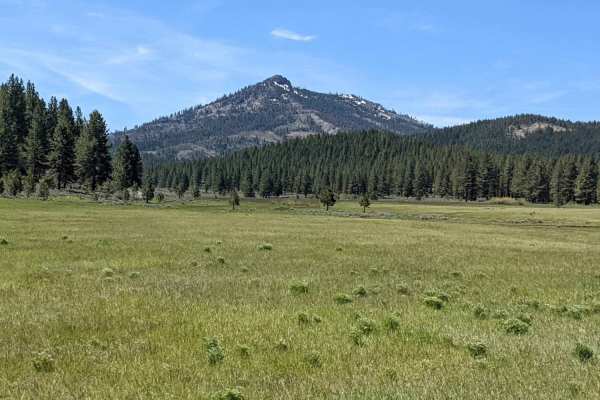
Beckwourth Tie - NF23N03Y
Dirt Forest Service Road accesses a network of roads climbing Beckwourth Mountain just outside Portola, California. These roads are seldom maintained and are occasionally clogged with manzanita overgrowth. Pinstriping is likely. These roads start at 5,000 feet and climb up to over 7,000 feet, so acc...
Learn more about Beckwourth Tie - NF23N03Y
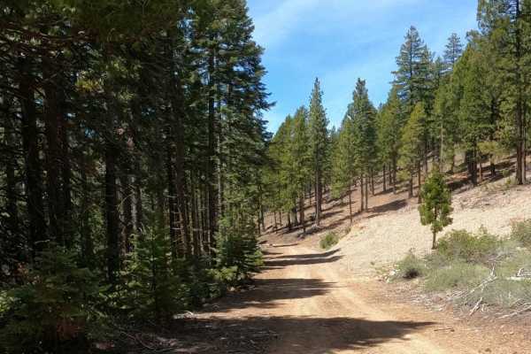
Bonta Creek - NF23N33
Bonta Creek - NF23N33 is an easy, scenic dirt route for those seeking access to the deeper trail systems of the Plumas National Forest. Spanning approximately 7.8 miles, this well-graded Forest Service road winds through lush pine forests, offering a smooth drive that is accessible to most high-clea...
Learn more about Bonta Creek - NF23N33
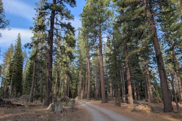
FS 24N70Y
This beautiful, well-maintained road provides access to numerous dispersed campsites and several areas along Lake Davis. There are multiple spots to enjoy the lake, including fishing access and boat access points, with plenty of opportunities to spend time by the water. The surrounding scenery is go...
Learn more about FS 24N70Y
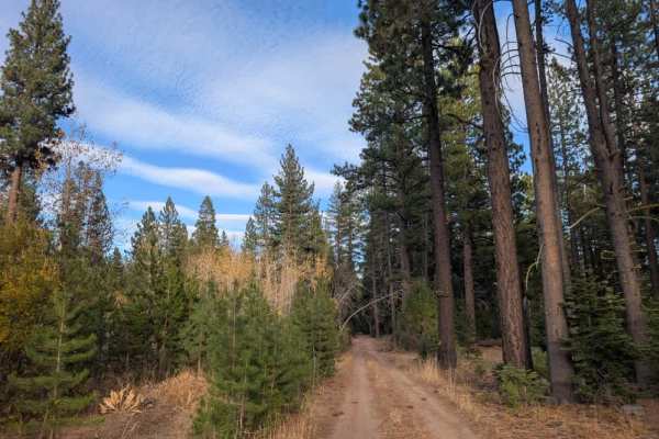
FS 24N10D
This short, scenic trail is generally easy to drive and accessible to all vehicles, though one section has a particularly high center median. To avoid bottoming out, keep the raised median beneath either your left or right tires, depending on your direction of travel. The road can also be very dusty...
Learn more about FS 24N10D
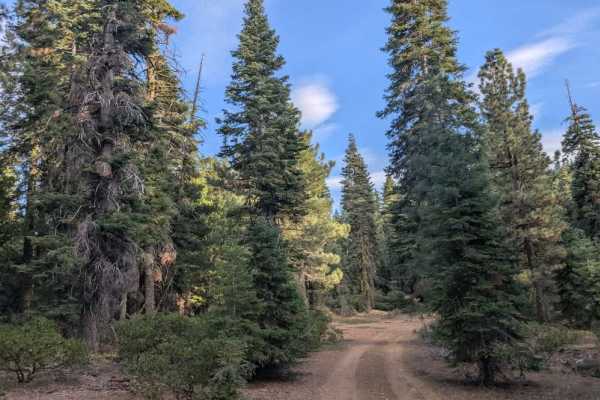
FS 24N10C
This rugged trail starts relatively easy, then climbs a rocky hill that requires careful driving and a capable vehicle. Although all vehicles are permitted, high-clearance 4x4s, Side-by-Sides, and ATVs are recommended due to the steep climb and extremely rocky sections. A large rock near the entranc...
Learn more about FS 24N10C
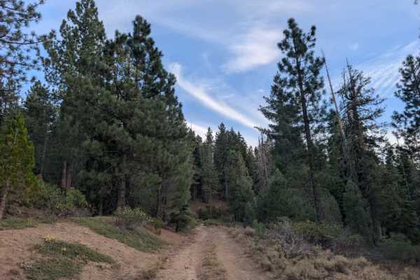
FS 24N74Y
This well-maintained trail sees regular use from adventurers and offers a varied drive through the mountains and surrounding valleys. The route climbs through rocky sections before descending into lower areas with marshland and more open scenery. Although the surface is generally manageable, watch f...
Learn more about FS 24N74Y
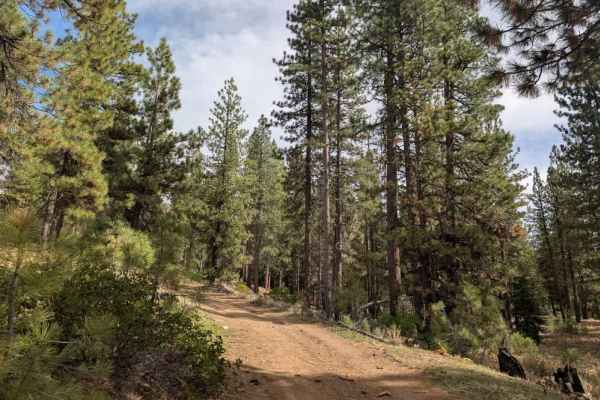
FS 24N61Y
This trail offers some variety, starting with a gradual climb before winding around a bend to a separate trail used for hiking, cycling, and horseback riding. From there, the road continues uphill into the mountains and gets increasingly rocky. The terrain isn’t particularly technical, but the loose...
Learn more about FS 24N61Y
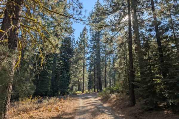
FS 24N10B
This wide, accessible trail branches off the main arterial road, crosses open plains, and winds through a short section of forest on its way to Lake Davis. The route is generally easy to drive, with a few bumpy patches. Conditions can change considerably with the weather, as the dusty surface can be...
Learn more about FS 24N10B
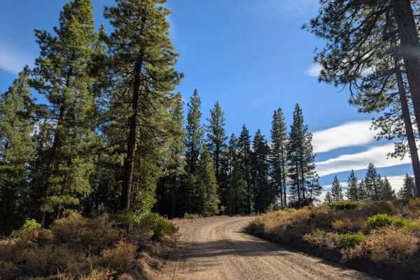
FS 24N06
This scenic connector runs between Crocker Campground and the main road; the trail climbs steadily away from Crocker Campground, then winds downhill toward the lake through a series of zigzags. Although the first section can feel a little rough, the surface soon smooths out and becomes well graded a...
Learn more about FS 24N06
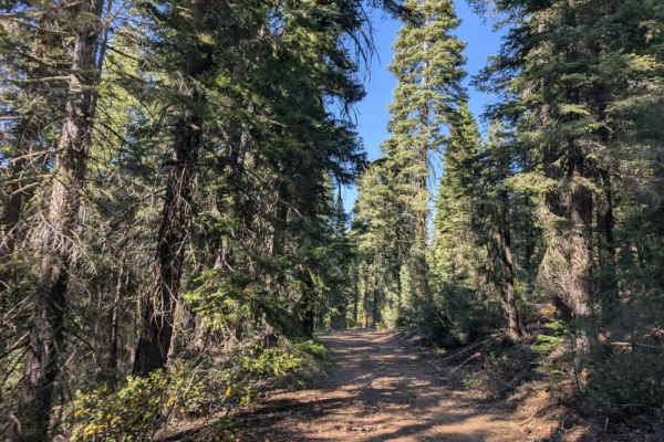
FS 24N55
This user-maintained trail branches off a nearby route and provides a scenic connection back to 24N10. The initial section is relatively straightforward, with one dip that adds a little interest before the trail continues through open forest. The surroundings are beautiful, and the route makes for a...
Learn more about FS 24N55
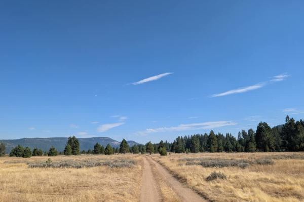
FS 24N10B1
This short, scenic trail starts with a somewhat bumpy surface that can become slippery and muddy after rain, with deeper mud possible in wet conditions. The route soon opens into broad plains before reaching an area where visitors can unload boats, kayaks, and other watercraft for access to the lake...
Learn more about FS 24N10B1
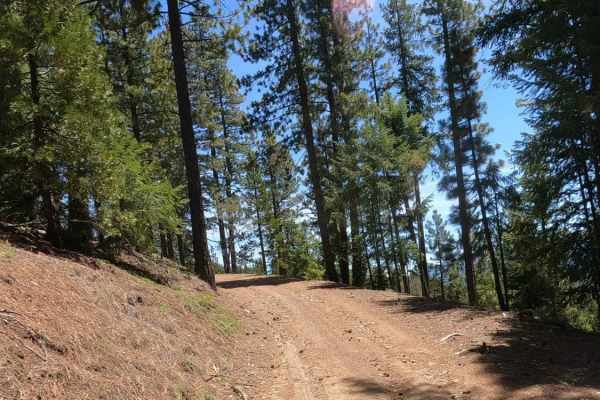
Bonta Ridge - NF23N05Y
Bonta Ridge (Forest Service Road 23N05Y) is an approachable, scenic climb ideal for beginners and scenic tourers looking to explore the rugged beauty of the Plumas National Forest. Starting from Bonta Creek Road just off CA-70, this 3.6-mile dirt and gravel route features a steady ascent with an ele...
Learn more about Bonta Ridge - NF23N05Y
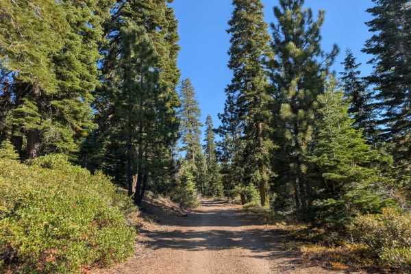
FS 24N12
This trail varies considerably in condition depending on which direction you approach from. Coming from the north, the first two miles are rough, with rain erosion, washouts, rocky sections, and a steady climb. Farther south, the road has been graded and improved, with a much better gravel surface. ...
Learn more about FS 24N12
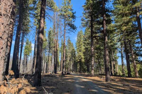
FS 24N79Y
This trail is only accessible by Highway Legal Vehicles, so please do not take any other kind of vehicle on this road. This short, well-maintained trail provides an easy drive to a large parking area with access to a nearby fishing spot. The road is easy to navigate and leads down toward the water, ...
Learn more about FS 24N79Y
Beginner ATV trails near Delleker, California
Explore ATV-friendly trails near you. These trails are accessible for vehicles up to 50 inches wide, perfect for ATVs and smaller off-road machines.
Sugarpine - NF22N55
Dirt Forest Service road accessing a network of roads climbing Beckwourth Mountain just outside of Portola, California. This looks to be the primary route accessing the summit from town. The road is wider and looks more maintained. These roads start at 5,000 feet and climb up to over 7,000 feet, so ...
Learn more about Sugarpine - NF22N55
Beckwourth - NF23N03
Beckwourth - NF23N03 is an ideal introductory route for four-wheel-drive vehicles, SxSs, and high-clearance rigs looking to access the sprawling network of forest service roads on Beckwourth Mountain. Starting right outside of Portola, California, at an elevation of 4,875 feet, this 3.45-mile dirt a...
Learn more about Beckwourth - NF23N03
Sugarpine Spur A - NF22N55A
Dirt Forest Service road accessing a network of roads climbing Beckwourth Mountain just outside of Portola, California. This spur accesses the communications tower equipment on private property at the summit of Beckwourth Peak. There is an open gate, and there aren't any No Trespassing signs visible...
Learn more about Sugarpine Spur A - NF22N55A
FS 23N15Y
This user-maintained trail is a great option if you want to escape the busier campgrounds around the lake and find a quieter place to spend time. The route is surprisingly beautiful and generally accessible, with one shallow dip you’ll need to navigate carefully. A Sprinter van was parked at the end...
Learn more about FS 23N15Y
Beginner UTV/side-by-side trails near Delleker, California
Find UTV and side-by-side trails near you. These trails accommodate vehicles up to 60 inches wide, ideal for UTVs, side-by-sides, and wider off-road rigs.
Sugarpine - NF22N55
Dirt Forest Service road accessing a network of roads climbing Beckwourth Mountain just outside of Portola, California. This looks to be the primary route accessing the summit from town. The road is wider and looks more maintained. These roads start at 5,000 feet and climb up to over 7,000 feet, so ...
Learn more about Sugarpine - NF22N55
Beckwourth - NF23N03
Beckwourth - NF23N03 is an ideal introductory route for four-wheel-drive vehicles, SxSs, and high-clearance rigs looking to access the sprawling network of forest service roads on Beckwourth Mountain. Starting right outside of Portola, California, at an elevation of 4,875 feet, this 3.45-mile dirt a...
Learn more about Beckwourth - NF23N03
Sugarpine Spur A - NF22N55A
Dirt Forest Service road accessing a network of roads climbing Beckwourth Mountain just outside of Portola, California. This spur accesses the communications tower equipment on private property at the summit of Beckwourth Peak. There is an open gate, and there aren't any No Trespassing signs visible...
Learn more about Sugarpine Spur A - NF22N55A
FS 23N15Y
This user-maintained trail is a great option if you want to escape the busier campgrounds around the lake and find a quieter place to spend time. The route is surprisingly beautiful and generally accessible, with one shallow dip you’ll need to navigate carefully. A Sprinter van was parked at the end...
Learn more about FS 23N15Y
The onX Offroad Difference
onX Offroad combines trail photos, descriptions, difficulty ratings, width restrictions, seasonality, and more in a user-friendly interface. Available on all devices, with offline access and full compatibility with CarPlay and Android Auto. Discover what you're missing today!
Open Trail Map