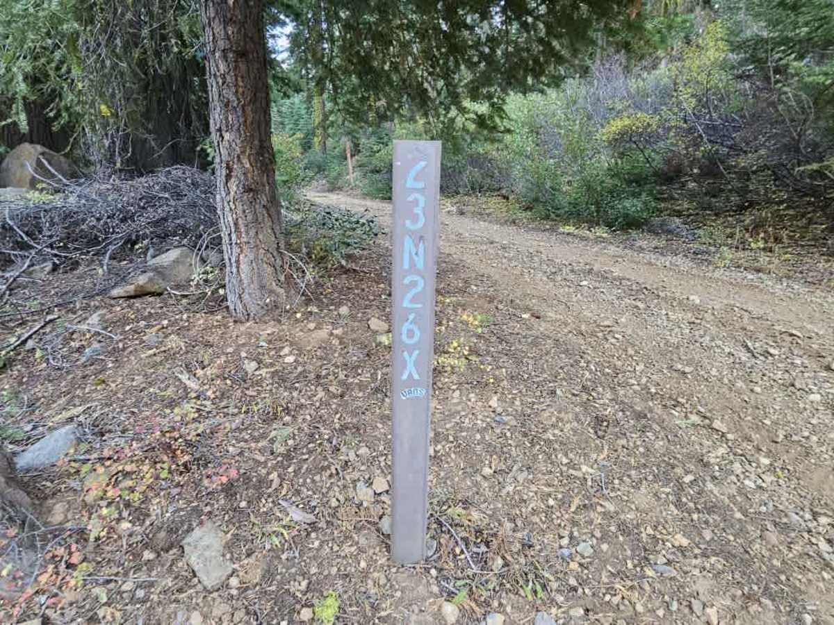
FS 23N26X

Total Miles0.5
Technical Rating
2Easy
Best TimeSpring, Summer, Fall
Trail TypeFull-Width Road
Accessible By
Open Trail Map

Trail Overview

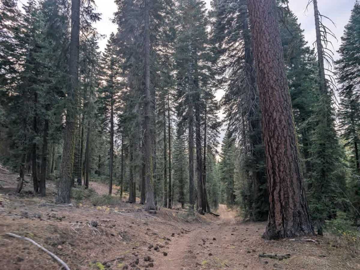
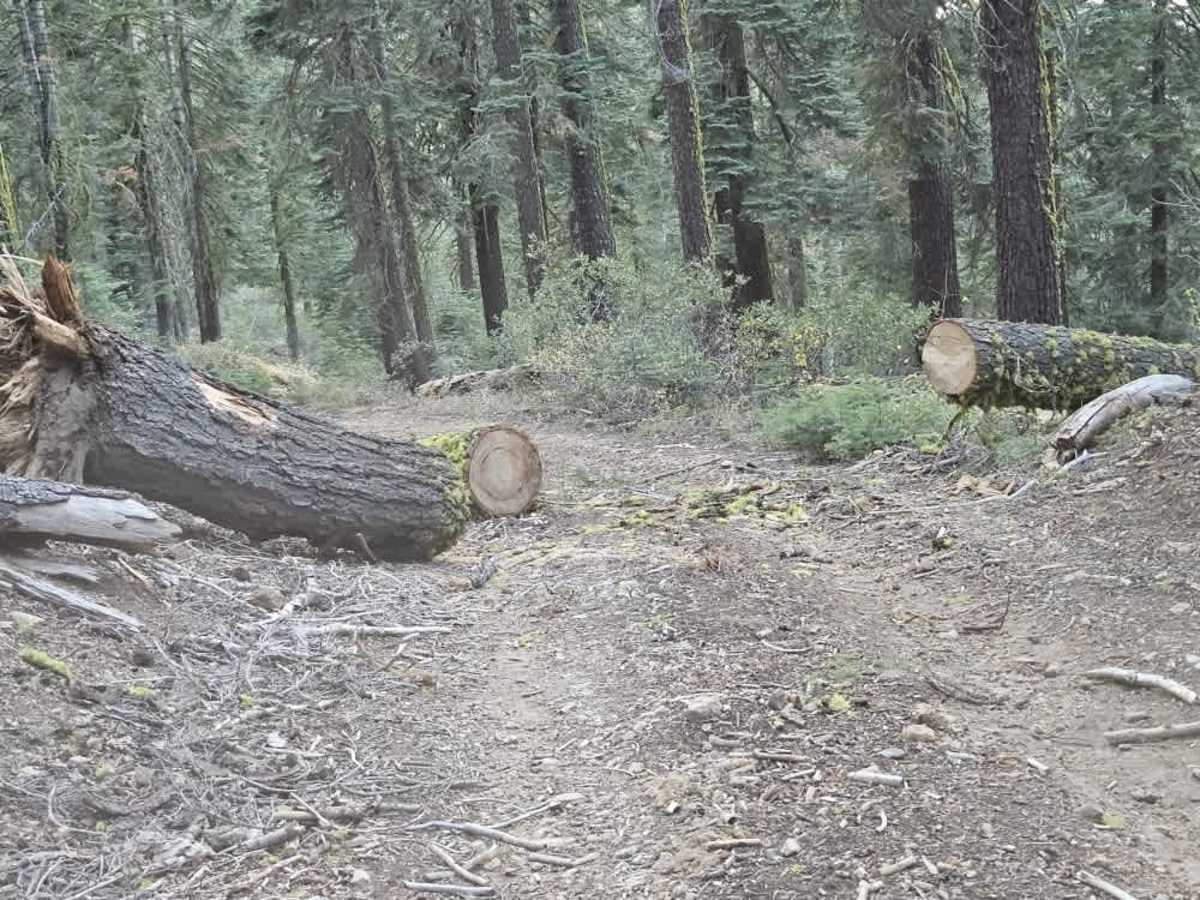
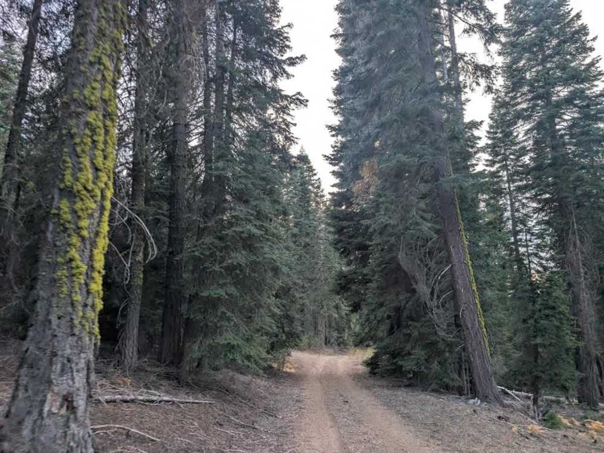
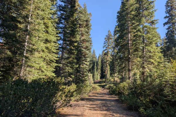
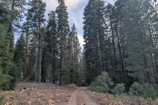
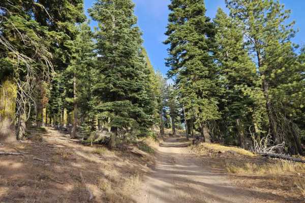
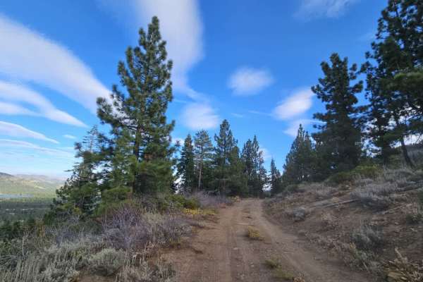
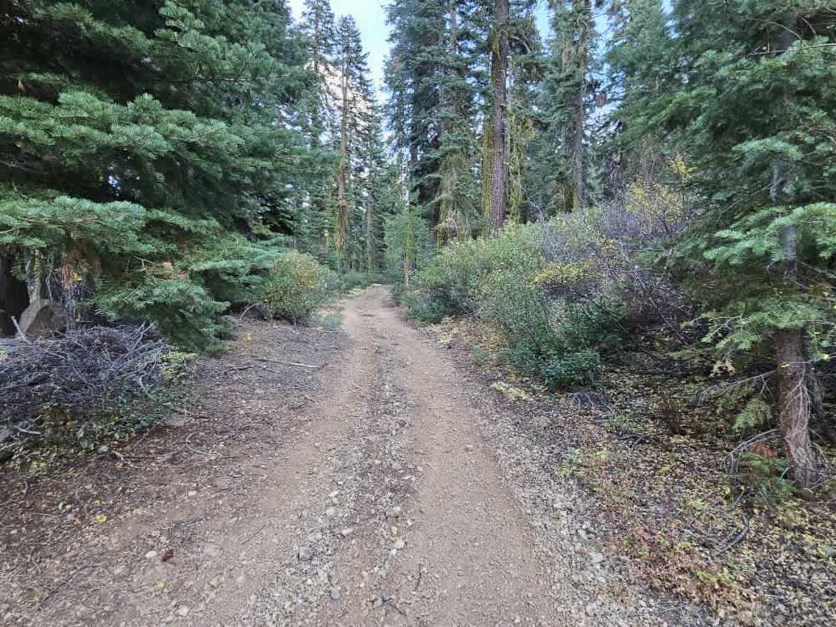
This short connecting trail links the surrounding forest routes and appears to connect two separate trails. It winds uphill or downhill through the forest, depending on your direction of travel, with a rocky, bumpy surface and some overgrown sections. Several fallen trees obstruct the route, including one that can be driven around and another that has been cut and cleared but still leaves a narrow passage. The limited width makes this trail best suited to SxSs, as full-size vehicles may struggle to get past the cut tree. Although very short, the route provides a useful connection between the area’s trails and marks the end of what was previously identified as FS 23N82. Proceed carefully through the narrow sections and watch for remaining fallen timber. ATVs, UTVs, Side-by-Sides, and Dirt Bikes must always have a valid California ATV Operating Permit sticker.

Photos of FS 23N26X

Difficulty

The trail is rocky and bumpy, with fallen trees creating narrow passages that may be difficult for full-size vehicles.

Technical Rating

2

FS 23N26X Trail can be accessed by the following ride types:

  • Single Track
  • 50 Inch
  • 60 Inch
  • High Clearance
  • Full Width

FS 23N26X Map

The onX Offroad Difference

onX Offroad combines trail photos, descriptions, difficulty ratings, width restrictions, seasonality, and more in a user-friendly interface. Available on all devices, with offline access and full compatibility with CarPlay and Android Auto. Discover what you're missing today!

Open Trail Map