FS 24N07A

Total Miles2.2
Technical Rating
2Easy
Best TimeSpring, Summer, Fall
Trail TypeFull-Width Road
Accessible By
Open Trail Map

Trail Overview

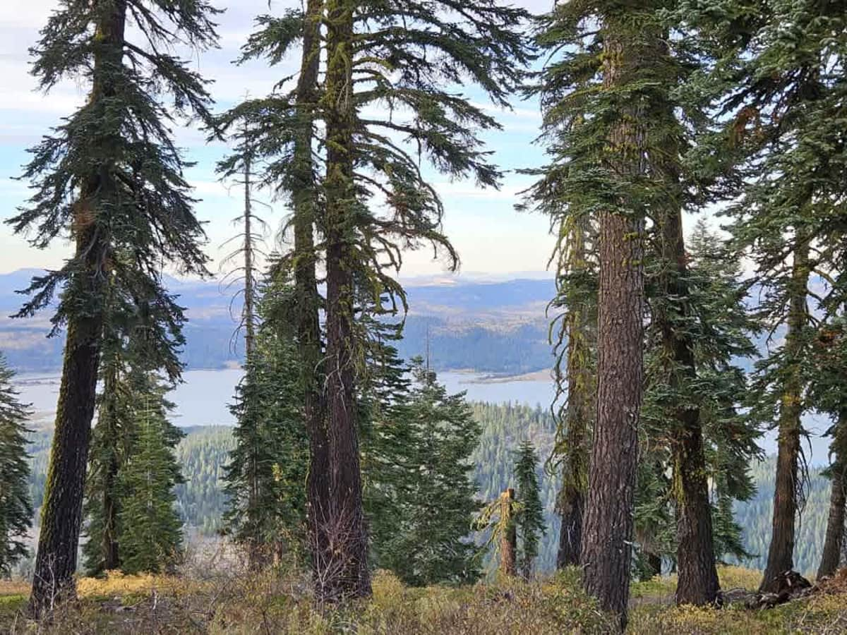
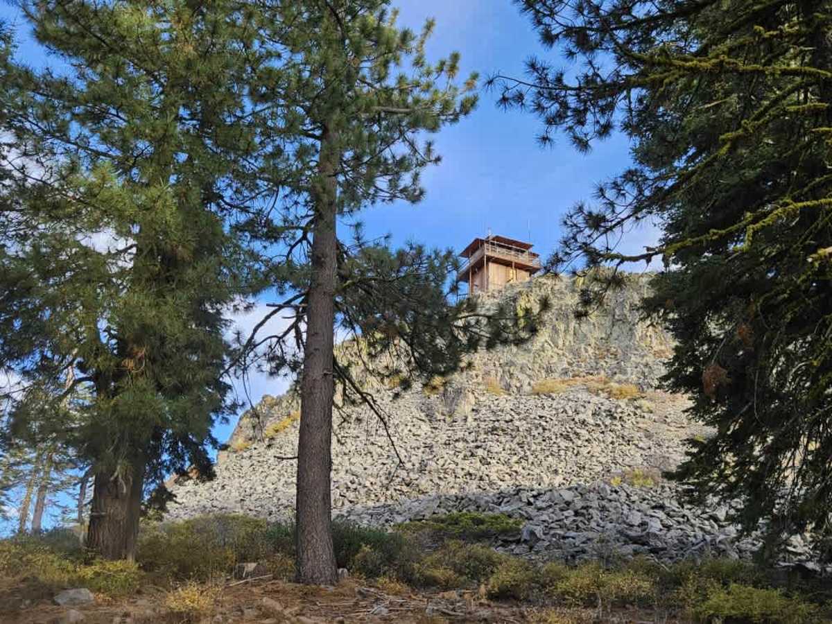
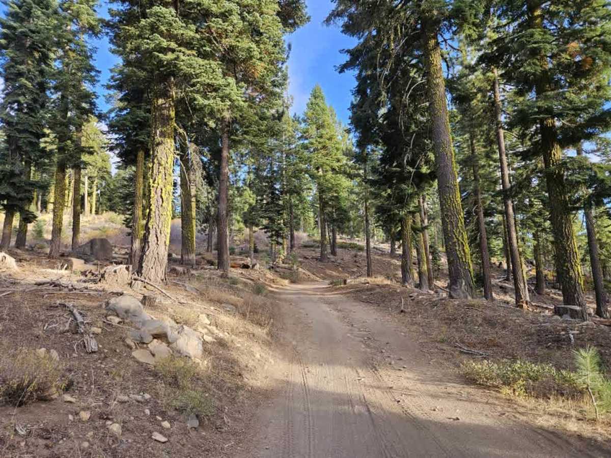
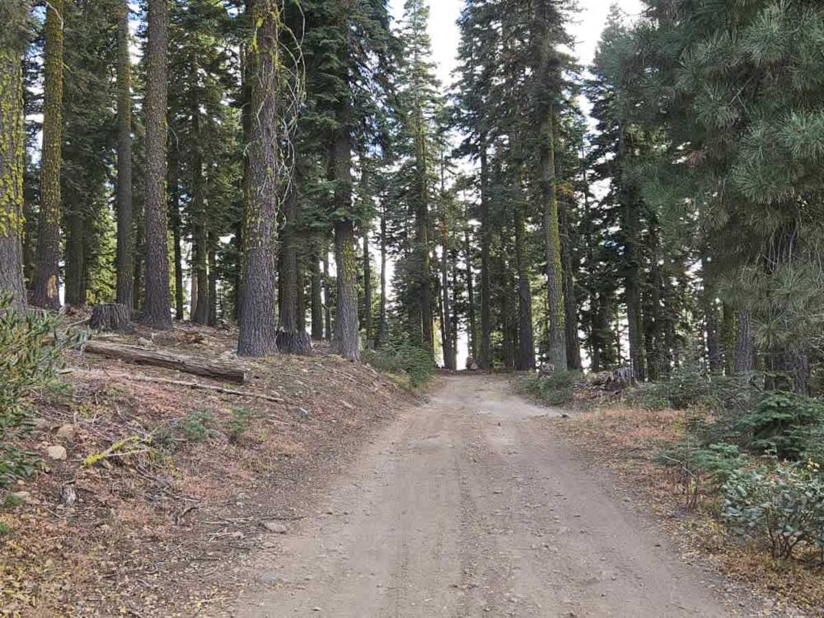
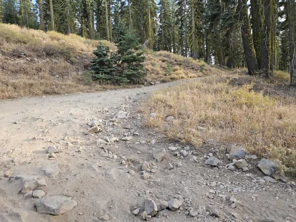
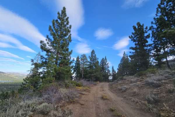
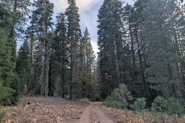
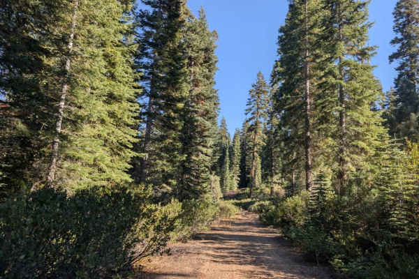
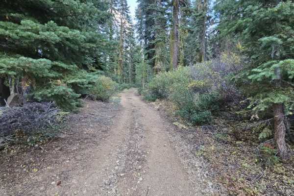
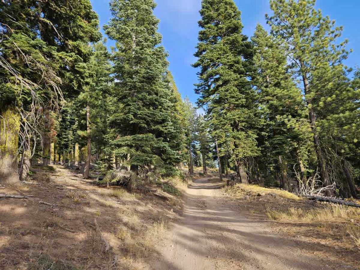
This trail climbs from the main road towards Smith Peak Lookout, winding uphill through beautiful forest with a series of switchbacks. The surface is rocky, bumpy, and dusty, with particularly rough sections around the turns and some off-camber areas along the way. Although the trail isn’t especially narrow, a high-clearance vehicle is recommended for the uneven terrain. As you climb, there are beautiful views of the surrounding forest and lake. The route eventually reaches a large clearing that may offer potential dispersed camping, subject to applicable restrictions. Beyond the clearing, a gate and road-closed sign indicate that OHV travel is not permitted farther along the road. From here, you can reach the lookout on foot, offering a striking vantage point atop the cliff with impressive views over the lake and surrounding landscape. ATVs, UTVs, Side-by-Sides, and Dirt Bikes must always have a valid California ATV Operating Permit sticker.

Photos of FS 24N07A

Difficulty

This is a beautiful, rewarding trail, but the rough surface and steep, rocky switchbacks require careful driving throughout the ascent.

Technical Rating

2

FS 24N07A Trail can be accessed by the following ride types:

  • Single Track
  • 50 Inch
  • 60 Inch
  • High Clearance
  • Full Width

FS 24N07A Map

The onX Offroad Difference

onX Offroad combines trail photos, descriptions, difficulty ratings, width restrictions, seasonality, and more in a user-friendly interface. Available on all devices, with offline access and full compatibility with CarPlay and Android Auto. Discover what you're missing today!

Open Trail Map