Trail Overview
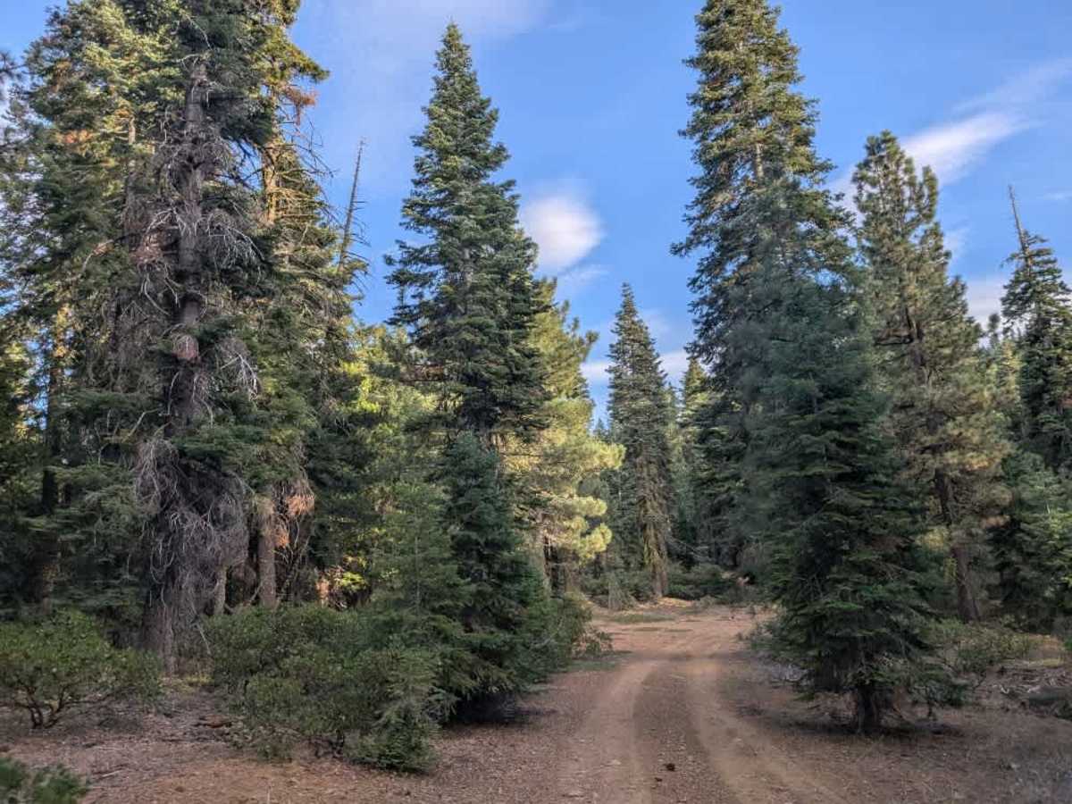
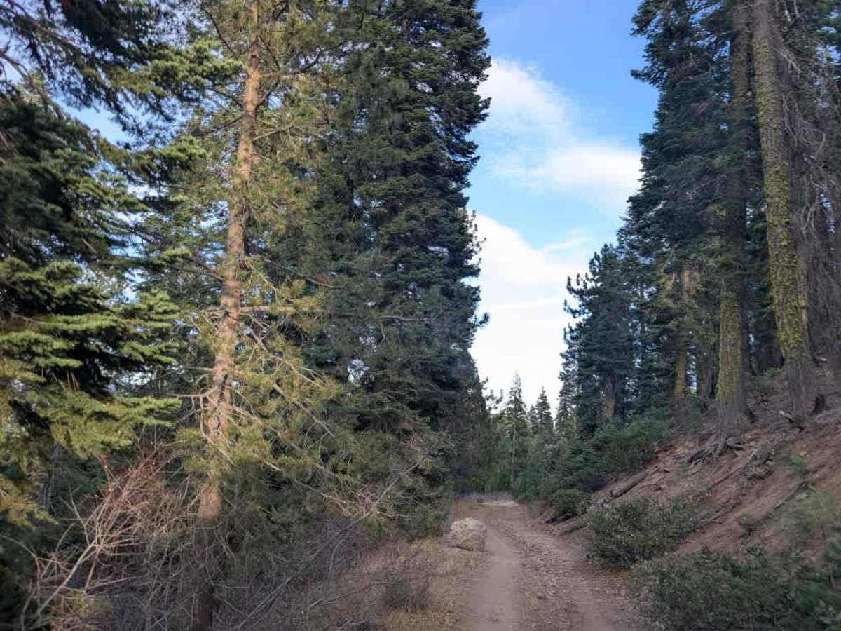
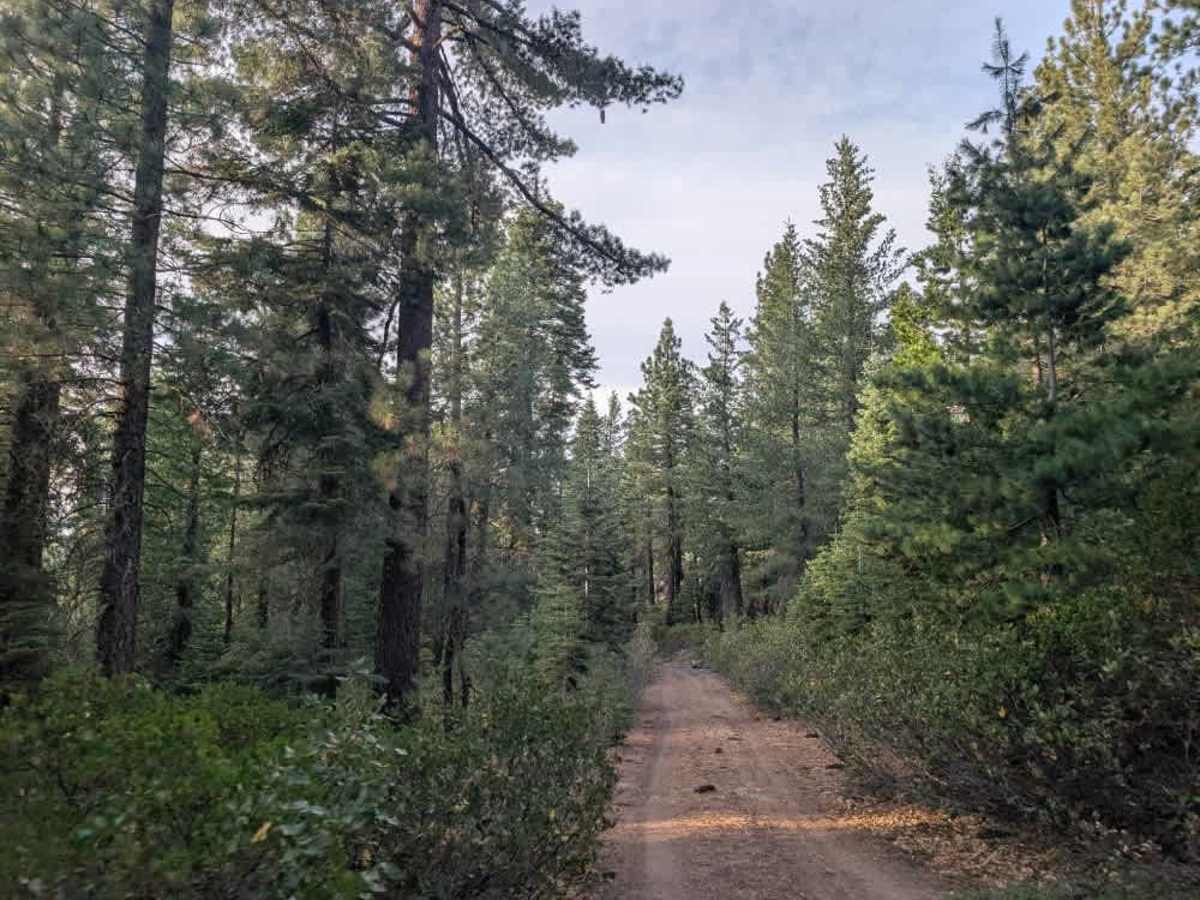
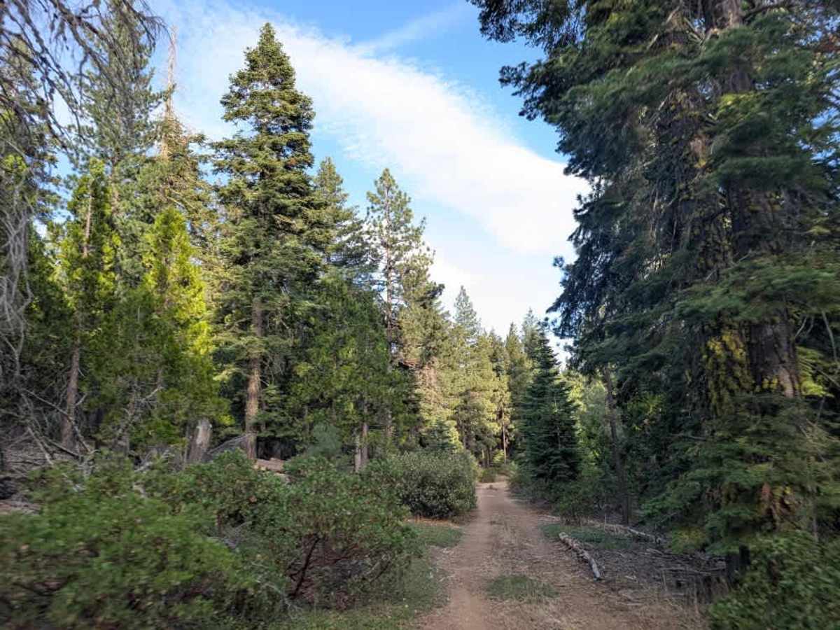
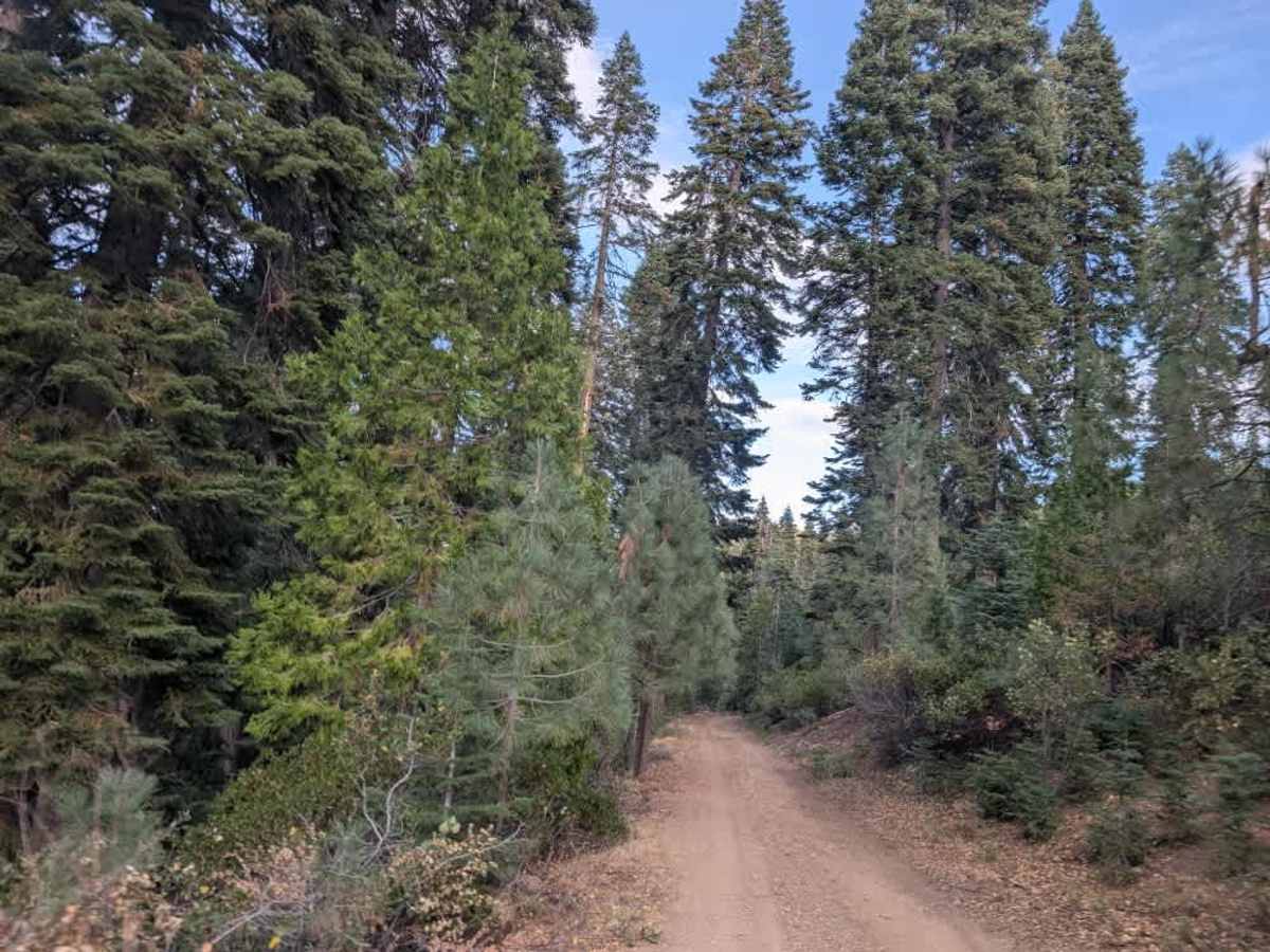
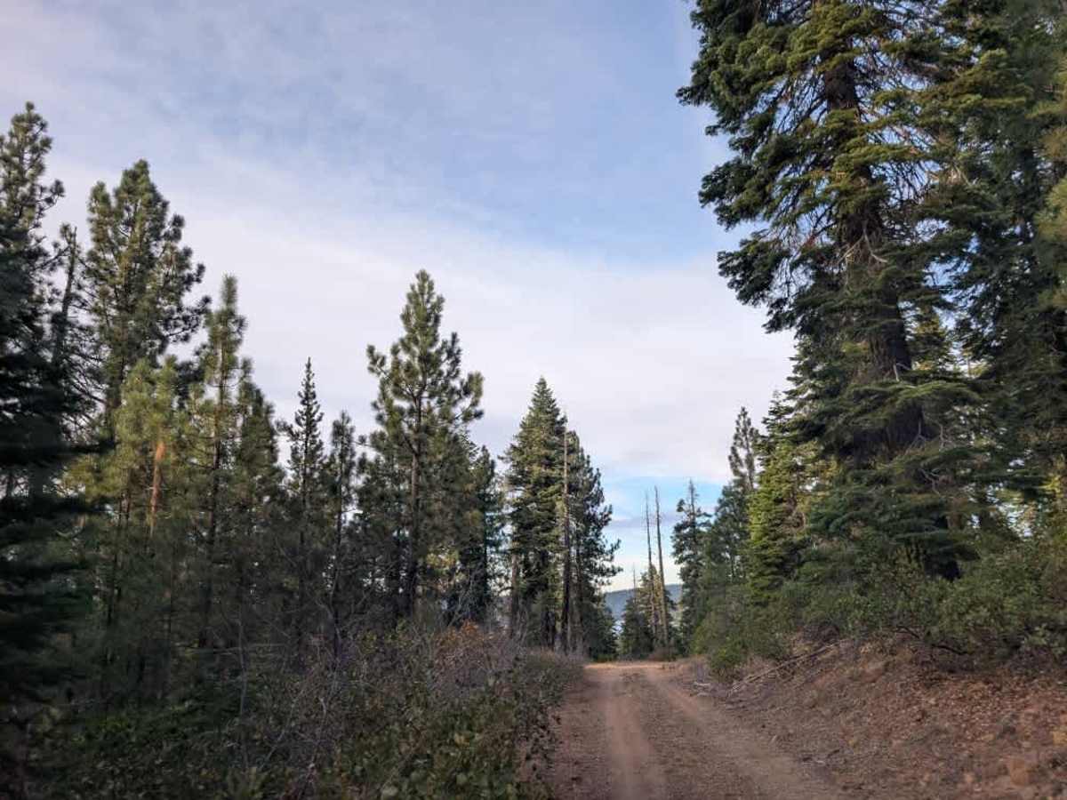
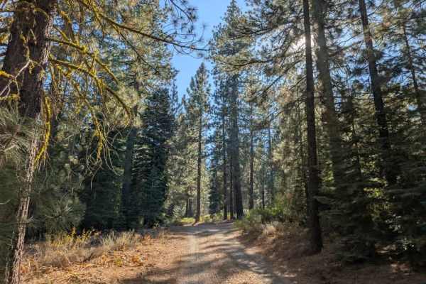
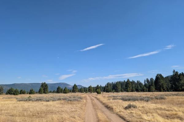
This rugged trail starts relatively easy, then climbs a rocky hill that requires careful driving and a capable vehicle. Although all vehicles are permitted, high-clearance 4x4s, Side-by-Sides, and ATVs are recommended due to the steep climb and extremely rocky sections. A large rock near the entrance also needs to be navigated to access the route. After you reach the top, the trail descends into a valley where the surface smooths out, and the scenery opens up. Watch for obstacles along the way, including rockfall and occasional fallen trees that may obstruct the road. Branches along the narrower sections can also cause pinstriping, so take care when navigating around rocks and other debris. The trail ends at a gorgeous campsite in a State Refuge area, where you may encounter wildlife. The views along the route are beautiful, and despite the rough terrain and challenging climb, the scenery and campsite make the trip worthwhile. ATVs, UTVs, Side-by-Sides, and Dirt Bikes must always have a valid California ATV Operating Permit sticker.