FS 24N10B

Total Miles1.6
Technical Rating
1Easy
Best TimeSpring, Summer, Fall
Trail TypeFull-Width Road
Accessible By
Open Trail Map

Trail Overview

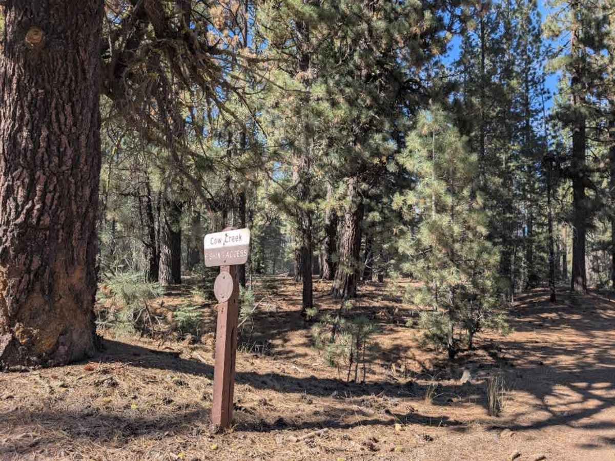
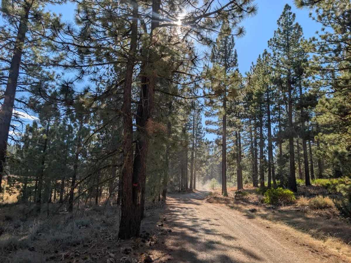
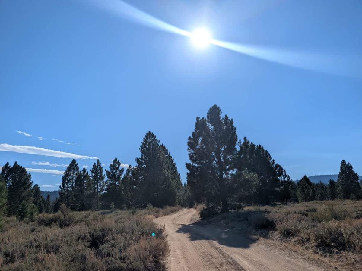
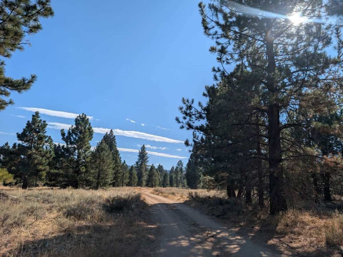
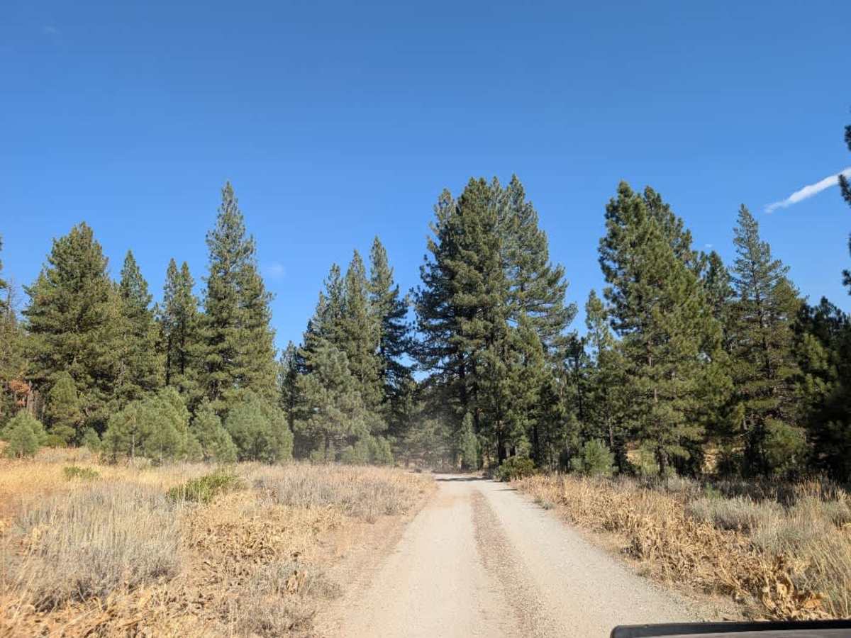
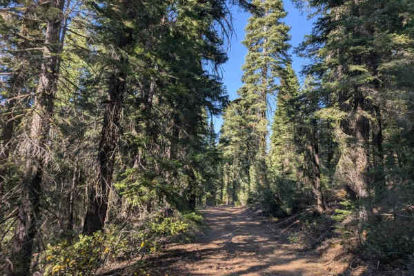
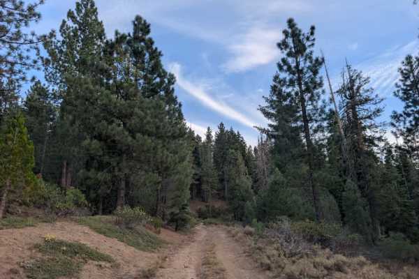
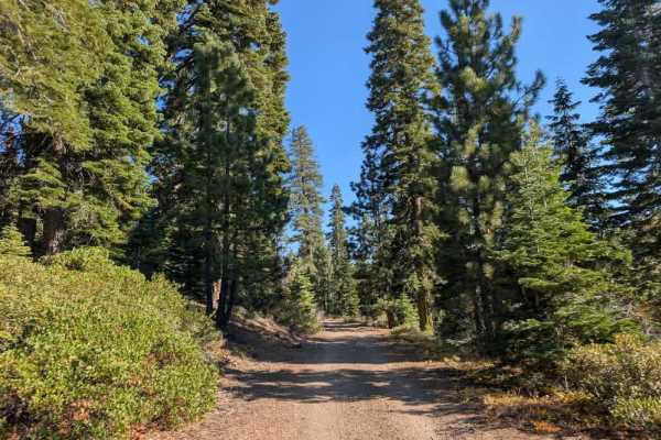
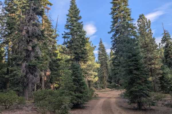
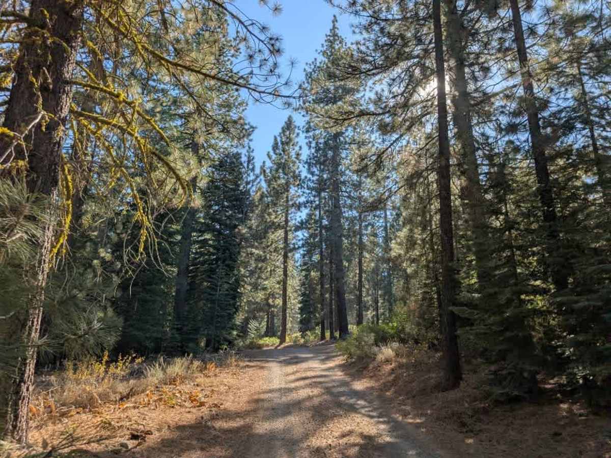
This wide, accessible trail branches off the main arterial road, crosses open plains, and winds through a short section of forest on its way to Lake Davis. The route is generally easy to drive, with a few bumpy patches. Conditions can change considerably with the weather, as the dusty surface can become wet and muddy when it rains, especially where clay is present. Signs at the entrance state that only highway vehicles are permitted, although SxSs, quads, and ATVs were observed using the route. Follow the posted vehicle restrictions rather than assuming all vehicle types are allowed. The trail ends at a water access area on Lake Davis, which is known for trout fishing. A toilet is available near the water access. If you plan to fish, check the current regulations and make sure you have the required fishing license and any applicable permits before casting a line. ATVs, UTVs, Side-by-Sides, and Dirt Bikes must always have a valid California ATV Operating Permit sticker.

Photos of FS 24N10B

Difficulty

The trail is generally easy, with a few bumpy sections and muddy conditions possible after rain.

Technical Rating

1

FS 24N10B Trail can be accessed by the following ride types:

  • High Clearance
  • Full Width

FS 24N10B Map

The onX Offroad Difference

onX Offroad combines trail photos, descriptions, difficulty ratings, width restrictions, seasonality, and more in a user-friendly interface. Available on all devices, with offline access and full compatibility with CarPlay and Android Auto. Discover what you're missing today!

Open Trail Map