Trail Overview
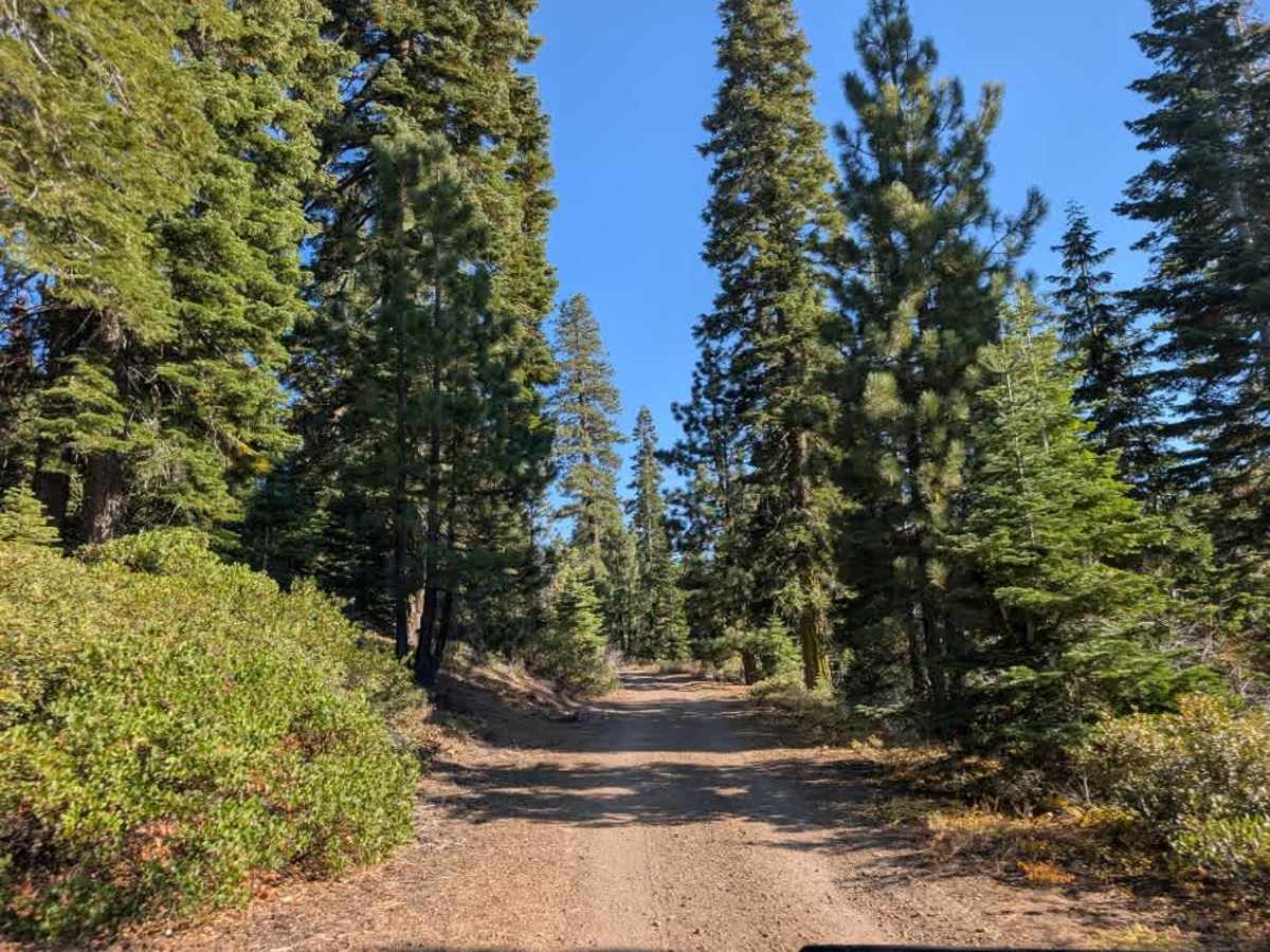
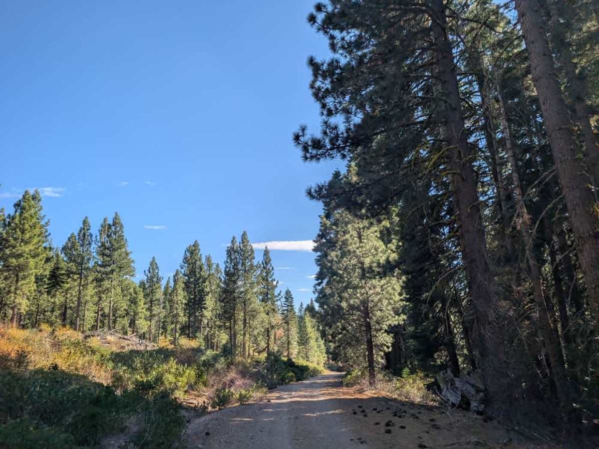
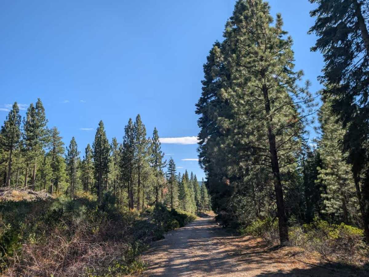
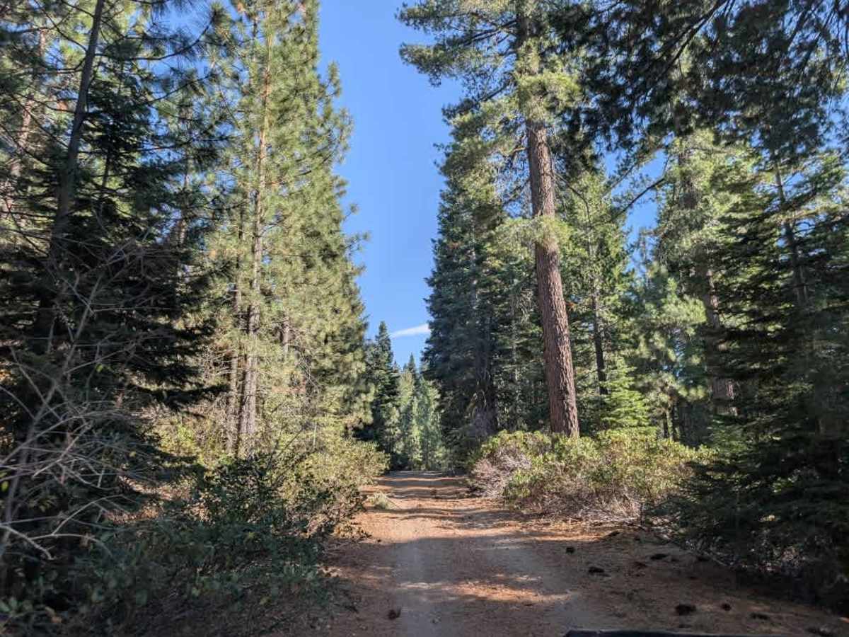
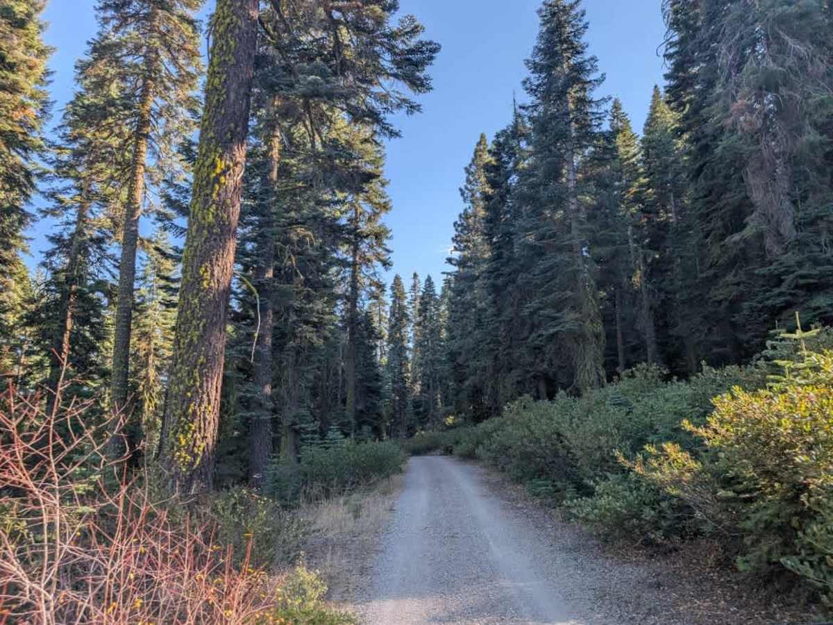
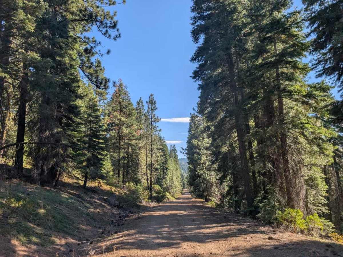
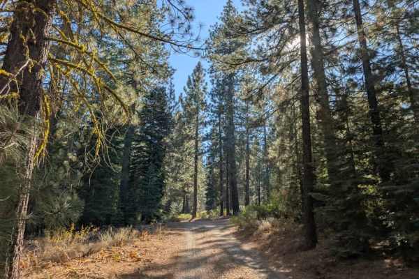
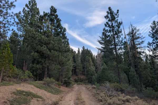
This trail varies considerably in condition depending on which direction you approach from. Coming from the north, the first two miles are rough, with rain erosion, washouts, rocky sections, and a steady climb. Farther south, the road has been graded and improved, with a much better gravel surface. If approaching from the south, the road is generally in good condition, although wet weather can create deep ruts where logging trucks have worn tracks into the surface. Although the route is currently designated for highway vehicles only, forest management has been contacted to review this classification because of the challenging conditions along the first two miles from the northern entrance. Please follow the posted restrictions unless they are officially changed. Active logging takes place in the area, so watch for logging trucks and other work vehicles. Cyclists also use this road, and a popular cycling trail branches off farther along the route, approximately three miles in. ATVs, UTVs, Side-by-Sides, and Dirt Bikes must always have a valid California ATV Operating Permit sticker.
Difficulty
The trail is generally manageable from the south but becomes more challenging from the north due to erosion, washouts, and rocky terrain.

 Offroad