Trail Overview
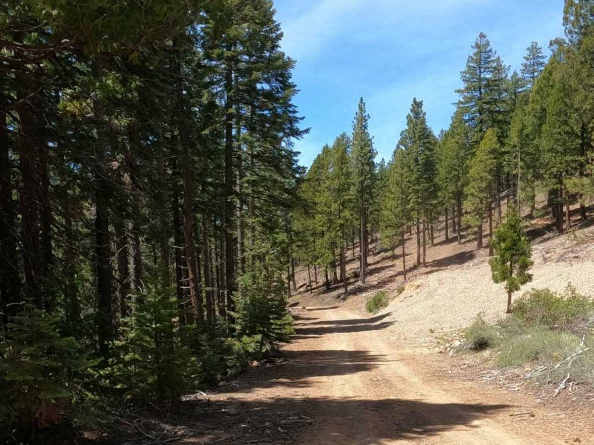
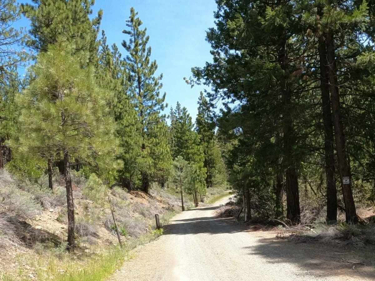
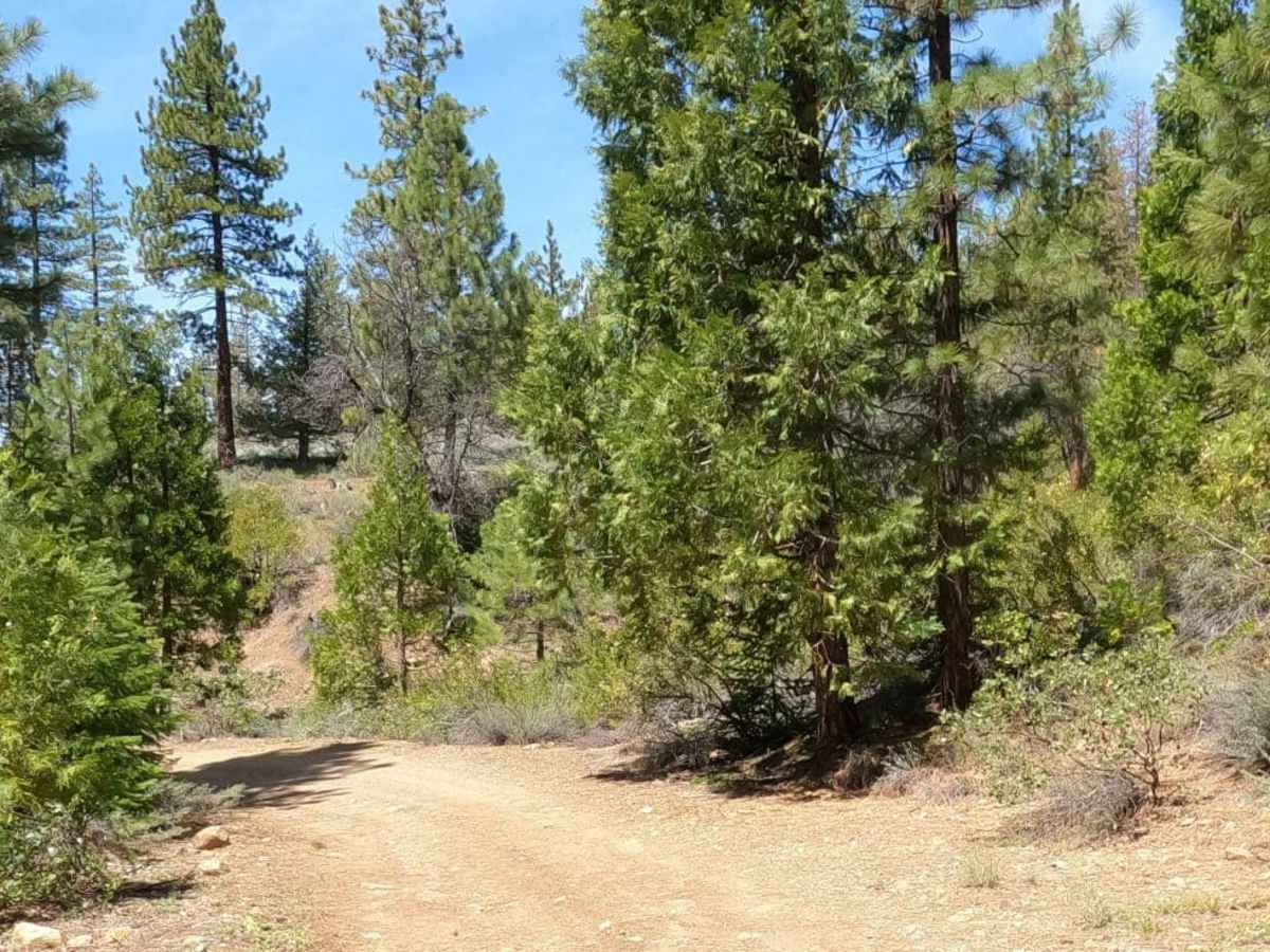
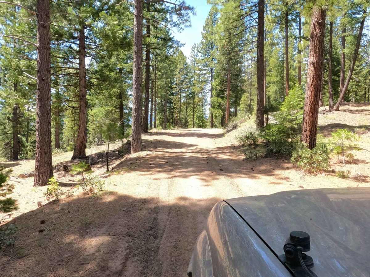
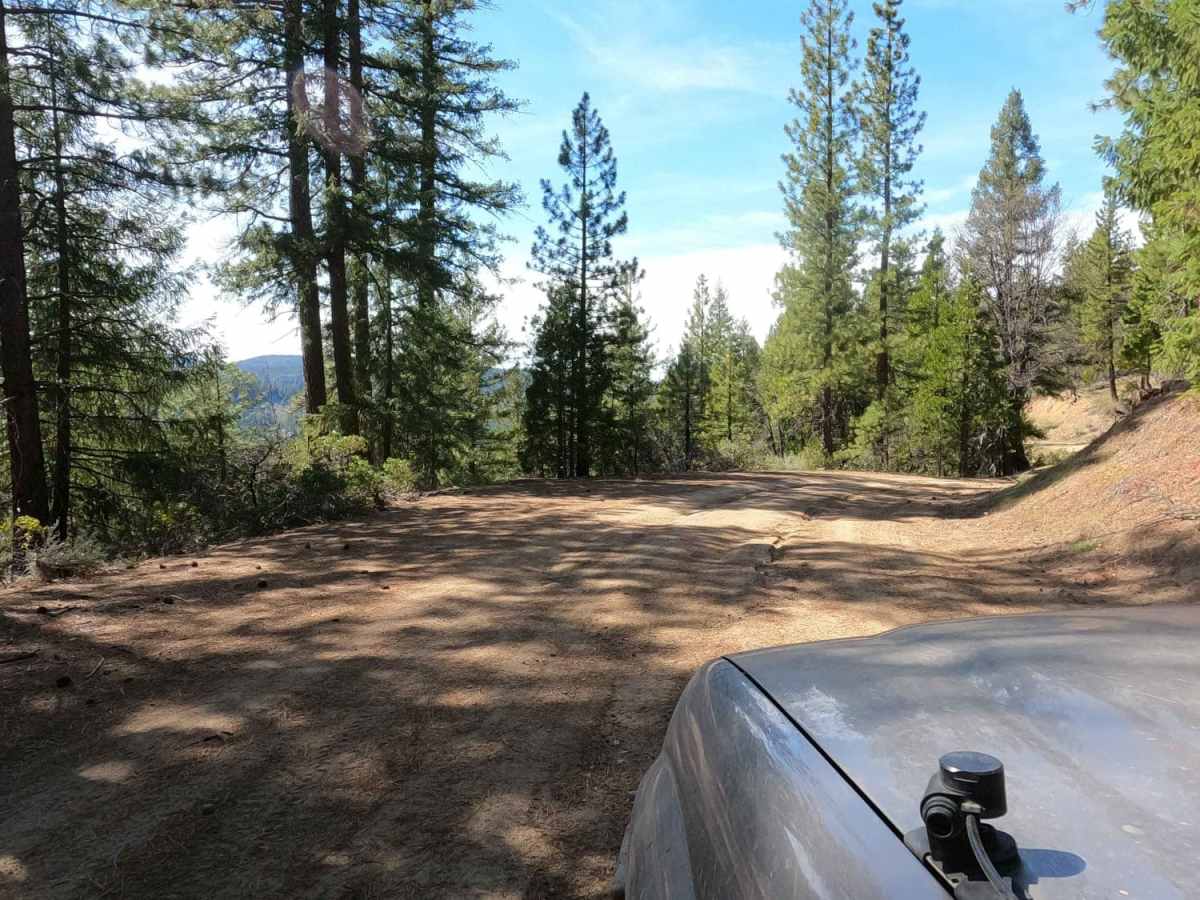
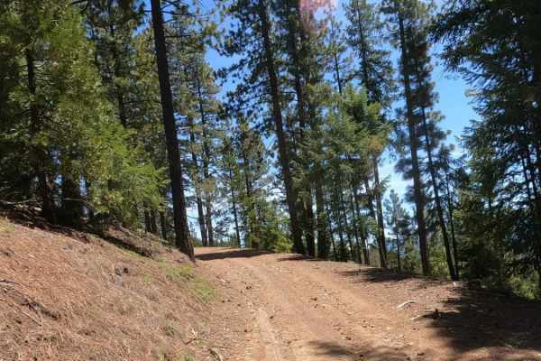
Bonta Creek - NF23N33 is an easy, scenic dirt route for those seeking access to the deeper trail systems of the Plumas National Forest. Spanning approximately 7.8 miles, this well-graded Forest Service road winds through lush pine forests, offering a smooth drive that is accessible to most high-clearance, two-wheel-drive vehicles under dry conditions. The trail begins just off CA-70 near Graeagle, California, and steadily climbs over 1,000 feet of elevation gain, reaching a peak elevation of 5,254 feet. Along the route, travelers will enjoy beautiful forest scenery and a straightforward driving experience with minimal obstacles, making it an excellent introduction to off-roading in the Sierra Nevada foothills.
In addition to its recreational appeal, the trail serves as a vital connector route, providing direct access to Bonta Ridge, Penman Saddle, and various offshoot trails further north. Because the route reaches elevations above 5,000 feet, winter snowpack makes it seasonal, typically closing during the winter and spring months when snow renders it impassable.
Access Description
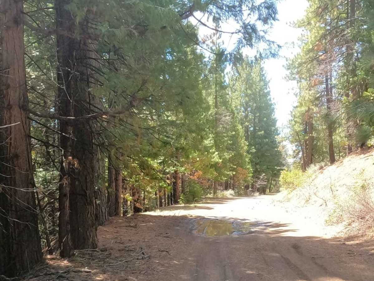
This route is located within Plumas National Forest and reaches elevations above 5,000 feet, which makes it subject to seasonal closures due to winter snowpack. During the dry summer and fall seasons, the graded dirt road is generally accessible to most high-clearance vehicles, though weather conditions can occasionally affect road quality.



 Offroad