Trail Overview
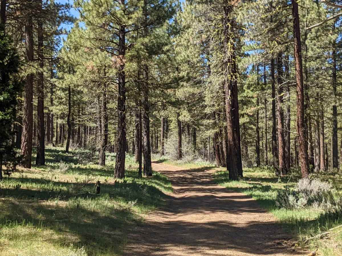
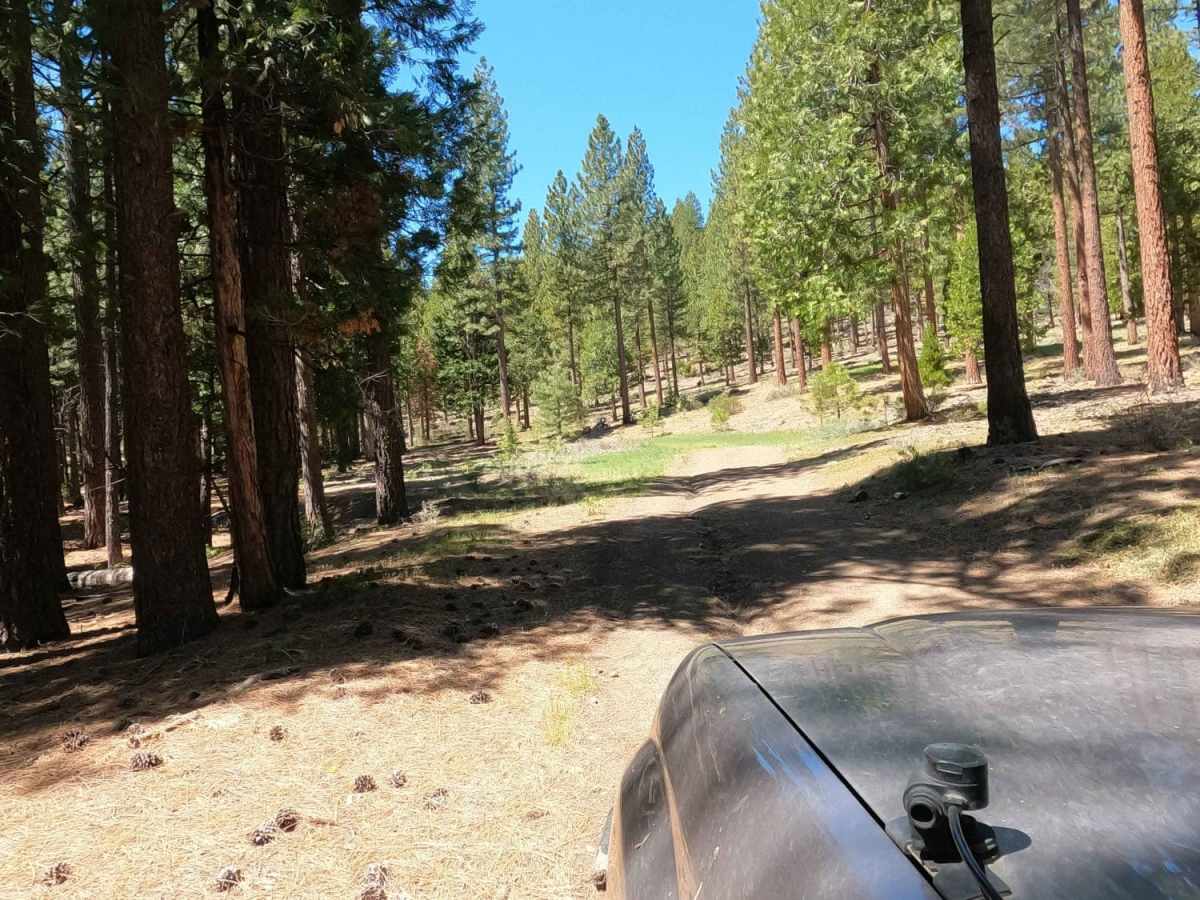
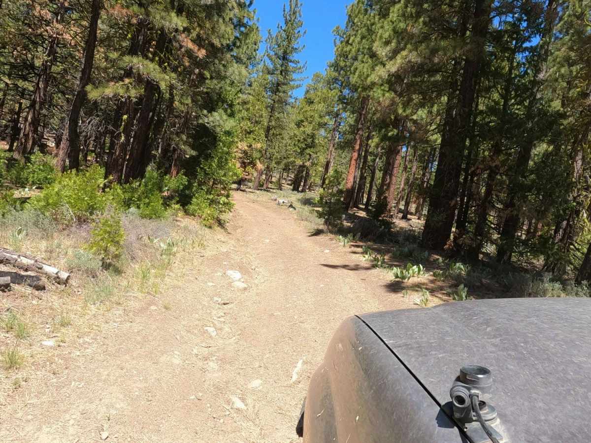
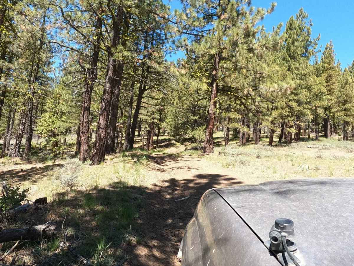
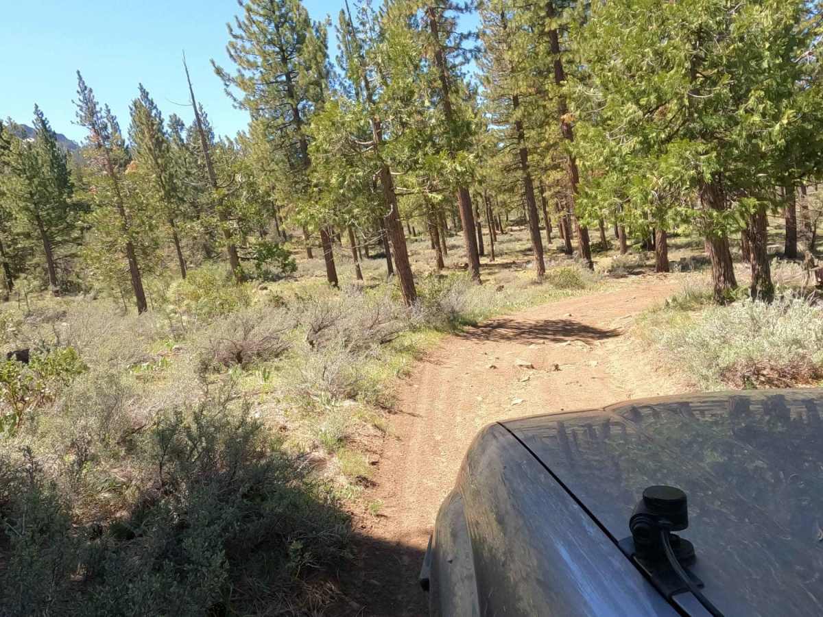
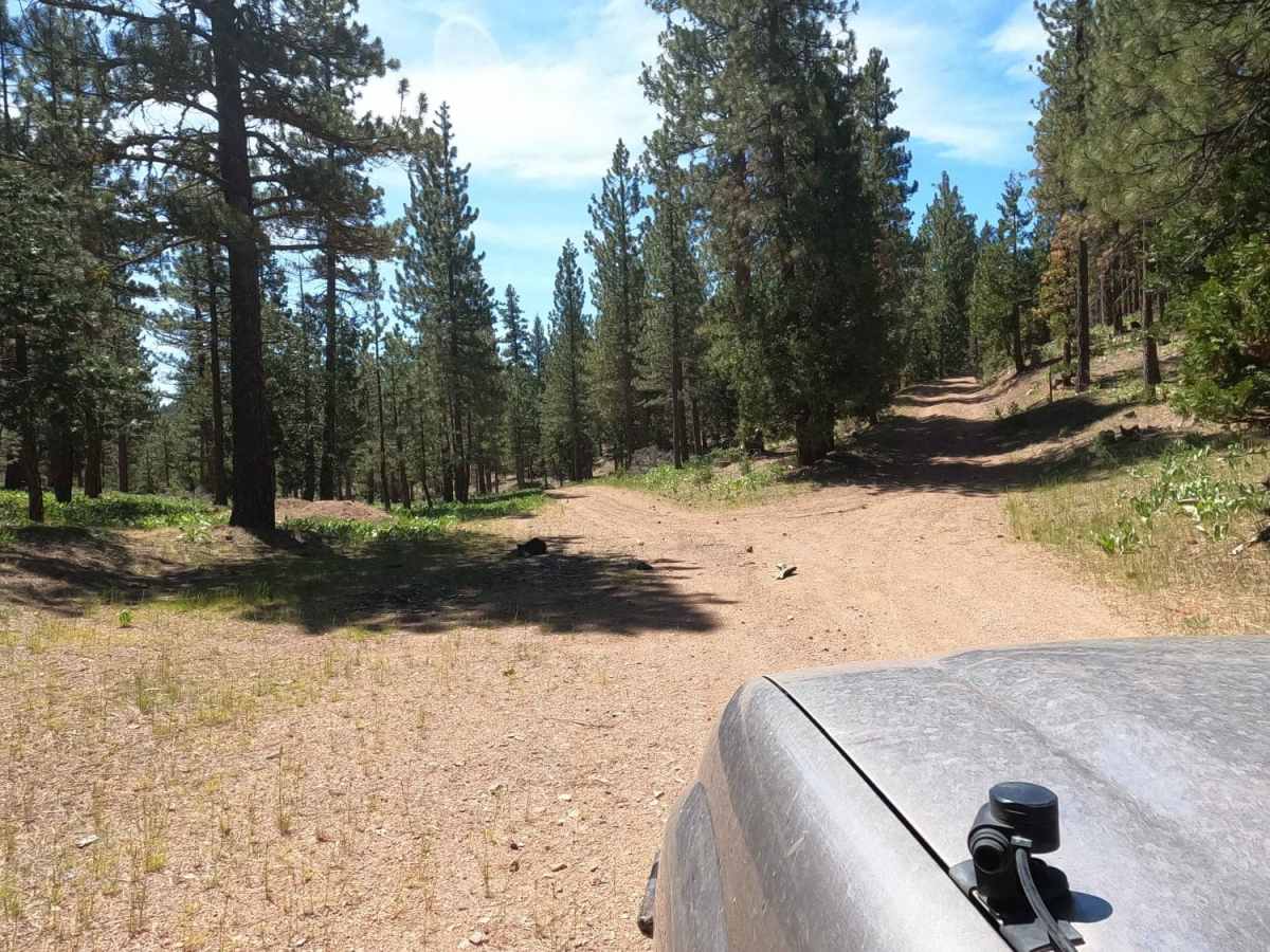
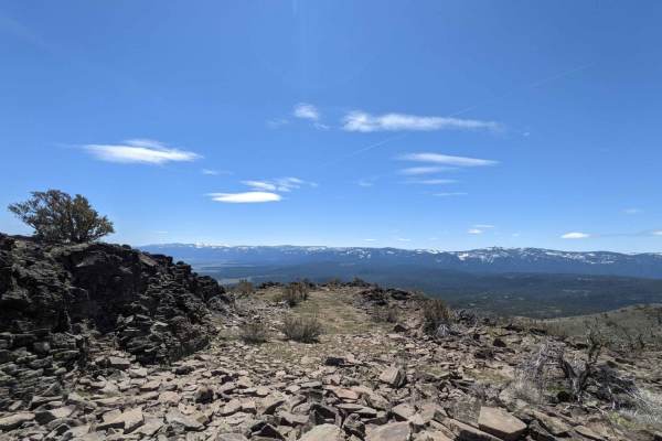
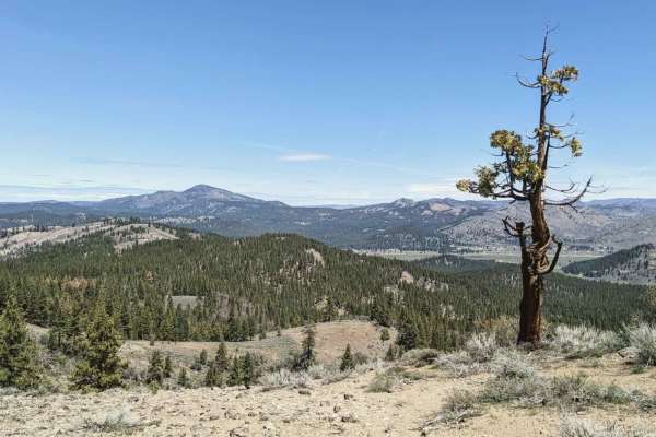
Beckwourth Tie Spur (NF23N03YB) is an easy, 2.5-mile dirt Forest Service road near Portola, California, that offers offroaders scenic access into the rugged trail network of Beckwourth Mountain. Ideal for beginners or those seeking a straightforward connection, this route starts at an elevation of 4,910 feet and climbs steadily to 5,555 feet. While the trail is technically rated easy with a rating of 2, it is seldom maintained, meaning drivers should expect sections clogged with thick manzanita overgrowth. Vehicle pinstriping is highly likely as the brush narrows the passage along this dirt track.
The trail climbs a total of 732 feet with a maximum gradient of 12.4 degrees, requiring basic high-clearance four-wheel-drive vehicles under typical conditions. Because these mountain roads range up to over 7,000 feet in the surrounding network, access is highly seasonal. Offroaders using this spur as a connector will experience a quiet, forested drive that links to more challenging climbs up Beckwourth Mountain. Travelers should prepare for self-recovery and carry tools to clear fallen branches or overgrown brush along the way.
Access Description
No fees or permits are required to access this National Forest road. The route is seasonal and typically closed by snow from late autumn through late spring. Because of significant manzanita overgrowth, vehicles will likely experience pinstriping, and larger vehicles may find the clearances extremely tight.