
Beginner Off-Road Trails
Near Buffalo Gap, South Dakota
Explore All Beginner Trails Near Buffalo Gap, South Dakota
Beginner Off-Road Trails Near Buffalo Gap, South Dakota
Discover the best beginner-friendly off-road trails near you. These easier, lower-rated trails are a great place to start — browse trail maps, check difficulty ratings, and find your next adventure.
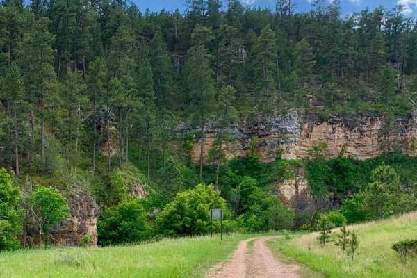
Song Dog Road
Starting from the south end of the trail on Argyle Rd, the trail begins in a lightly treed pine forest and follows a natural dirt and limestone path that is mostly packed and single-car width wide. The route includes several sections of semi-loose rocky hill climbs, with small rocks 3-4 inches in di...
Learn more about Song Dog Road
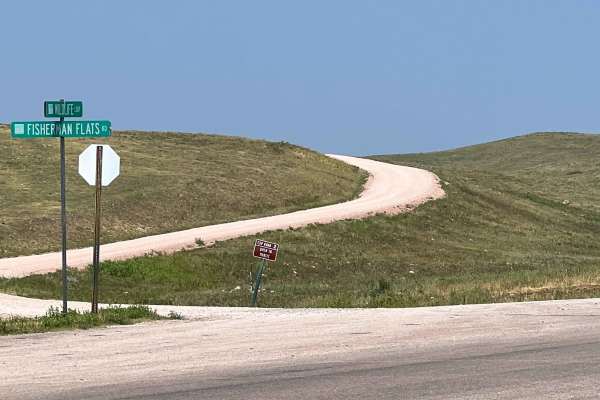
Fisherman Flats Road
Fisherman Flats Road, also known as Custer State Park Road 2, is an easy two-lane gravel road that provides a connection through the grasslands of Custer State Park's Wildlife Loop area. The route begins off CSP 1, directly across from the Wildlife Loop Visitor Center and just north of Oak Draw Road...
Learn more about Fisherman Flats Road
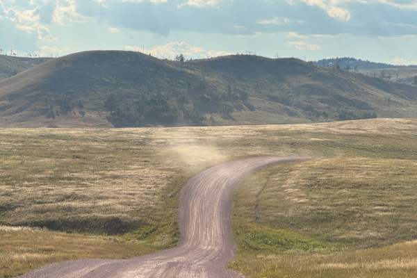
Oak Draw Road- CSP 3
Oak Draw Road, also known as Custer State Park Road 3, is a scenic two-lane gravel road that cuts across the wide open grasslands of the park's Wildlife Loop area. This lesser-traveled route offers an easy and enjoyable drive, with sweeping views of the prairie and abundant opportunities to spot wil...
Learn more about Oak Draw Road- CSP 3
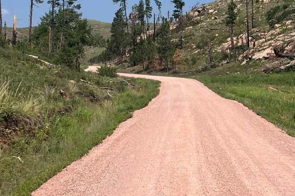
North Lame Johnny Road
North Lame Johnny Road, also known as Custer State Park Road 4, is a two-lane gravel road that travels through the French Creek area of Custer State Park. The route can be accessed from the north at Highway 87 or from the south where it intersects Oak Draw Road (CSP 3). Along the way, it passes Fren...
Learn more about North Lame Johnny Road
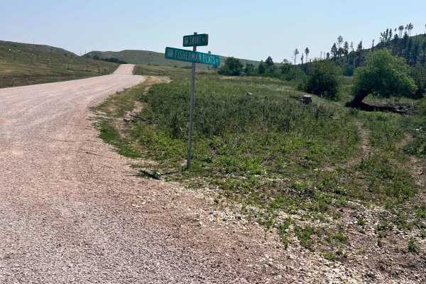
Swint Road
Swint Road, also known as Custer State Park Road 5, is a two-lane gravel road that connects Fisherman Flats Road (CSP 2) with North Lame Johnny Road (CSP 4). The route travels through rolling grasslands and scattered pine stands, offering an alternative to the busier sections of the Wildlife Loop. T...
Learn more about Swint Road
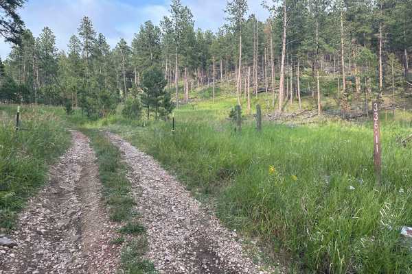
Hines Br1i / 336-11
Forestry Road 336-11, also known as Hines BR1i, is rocky with small to medium rock embedded in the soil. There are a few mud holes with very thick sticky mud after rains, but none are more than a few inches deep, so, should not present an issue. At the south end, connecting to County Road 382, also ...
Learn more about Hines Br1i / 336-11
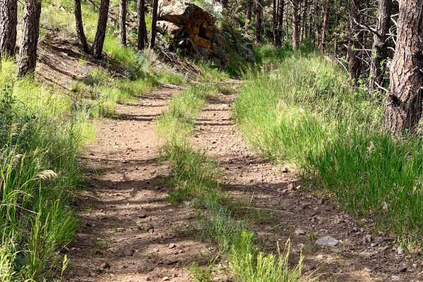
Bowman Road Loop
Bowman Road Loop is a 7.4-mile trail near Pringle, South Dakota, that flows in and out of the pine forest around Bowman Ridge. The trail is primarily composed of rock and sand, with loose sections that may pose challenges. Stock 4WD vehicles should have no issues, but motorcycles and 2WD vehicles sh...
Learn more about Bowman Road Loop
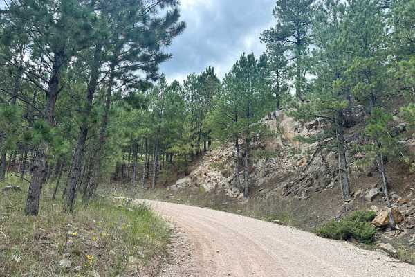
Herbert Draw Road
This scenic gravel route offers incredible views of the Black Hills and is easily traversed by most vehicles. Stretching between Lower French Creek Road on the northeast end and Flynn Creek Road on the southwest end, the trail winds through a variety of beautiful and changing terrain. From groves of...
Learn more about Herbert Draw Road
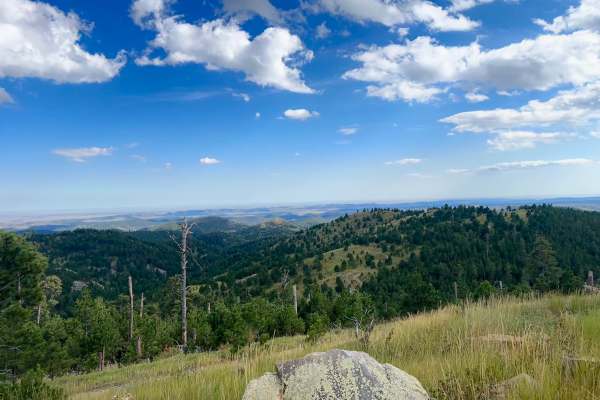
Cicero Peak Road
This is a fantastic trail leading up to the summit of Cicero Peak. The route is only 1.7 miles long but climbs 485 feet to a peak elevation of 6,165 feet. Despite its relatively short length, the climb offers rewarding views for nearly the entire ascent. Loose rocks are all over and must be navigate...
Learn more about Cicero Peak Road
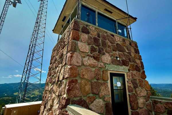
Mount Coolidge Road
Mount Coolidge Road winds its way up the fire lookout mountain just off Highway 87, offering easy access to one of the best panoramic views in the central Black Hills. The road is gravel, maintained, and open to most vehicles during the summer season--though it can be washboarded and dusty. While mo...
Learn more about Mount Coolidge Road
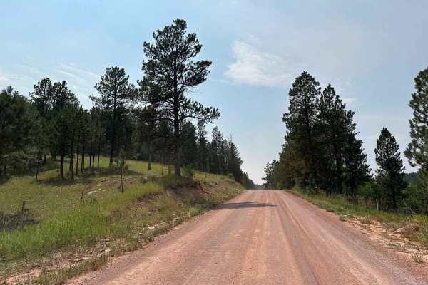
Ghost Canyon Road
It is an easy gravel road with good views, making for a beautiful shortcut to nearby trailheads. Many other activities off of this route include camping sites in the Black Hills National Forest along with horseback riding, hiking, and off-road trails to experience along the way. This trail runs from...
Learn more about Ghost Canyon Road
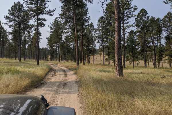
Custer Mountain Cutoff
Custer Mountain Cutoff is an easy, highly accessible 3-mile scenic route near Custer, South Dakota, perfect for beginners, standard SUVs, and anyone looking for a relaxed drive through the Black Hills. Winding through dense stands of ponderosa pines and vibrant quaking aspens, this peaceful trail sk...
Learn more about Custer Mountain Cutoff
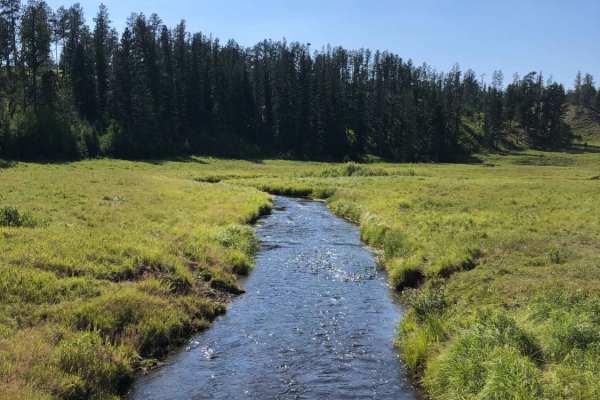
Bear Mountain Lookout to Pactola Reservoir
From Bear Mountain Lookout to Pactola Reservoir, this gravel road will show you the best the Black Hills National Forest offers. Take your time along the expansive alpine meadows & while driving along Lightening Creek, as you'll have many chances to spot deer and other wildlife along this route.
Learn more about Bear Mountain Lookout to Pactola Reservoir
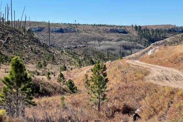
Windmill Draw to Hell Canyon to Alkali Ridge
Travel from Windmill Draw - (FSR 681) to Hell Canyon - (FSR 284.2L) to Alkali Ridge (FSR 284.2C). This 7.7-mile route, from Custer Limestone Road in the north to US Highway 16 in the south, covers a wide variety of terrain and is one of the highlights of what the Black Hills offers to offroad enthus...
Learn more about Windmill Draw to Hell Canyon to Alkali Ridge
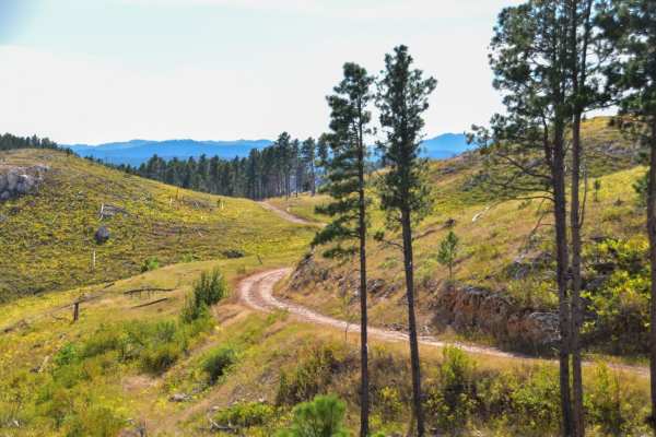
Foster's Gultch
This is a scenic trail meandering through ponderosa pine and quaking aspen trees. From the Rockerville Road entrance of this trail, is it a maintained gravel road that slowly gets narrower, but stays very easy to a staging area for either "Hippie Hollow" hiking trail, or Bikini and T-Back trails, r...
Learn more about Foster's Gultch
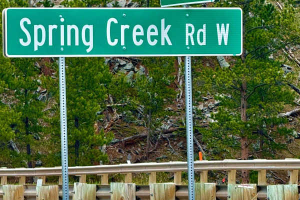
Spring Creek Road - FS 305
Spring Creek Road (FS 305) is a scenic gravel forest route with smooth driving and light elevation changes, suitable for most vehicles. The road winds through dense pine forest and unique granite formations, offering a few peaceful, dispersed campsites along the way. Geology lovers will enjoy the st...
Learn more about Spring Creek Road - FS 305
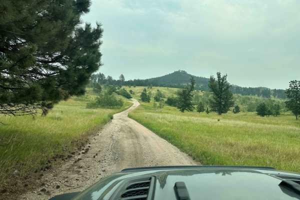
Long Run - 641
This trail will run from Foster's Gulch to South Rockerville Road. Along this long run across a high ridge of the Black Hills National Forest, you will have some good scenery and will likely run across some wildlife. The obstacles on this route are a few or simple. A few places where standing water ...
Learn more about Long Run - 641
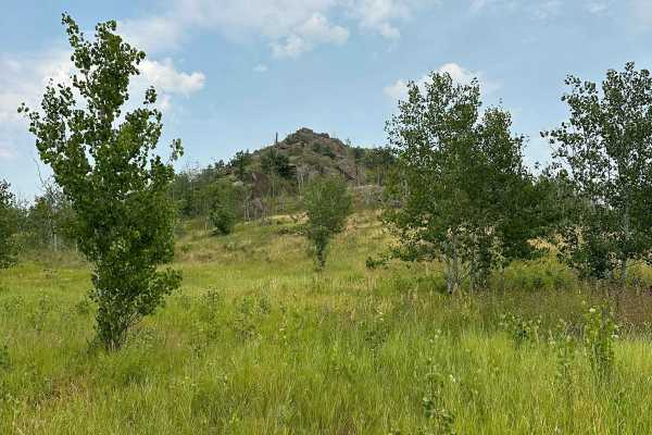
Turkey Ridge - 719
Turkey Ridge--716 is an unmaintained trail with several areas where water can stand and form large mud holes. The terrain is somewhat scenic as it goes through wooded areas, and the trail is unmaintained and not traveled very much. There are not many obstacles or technical areas on this trail.
Learn more about Turkey Ridge - 719
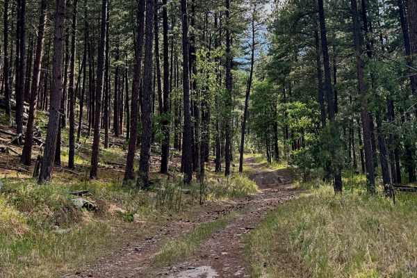
FS 354.1C
If you're visiting the Mount Rushmore area or just passing through on Highway 16, this is a convenient trail that's well worth exploring. The trailhead is located right off the highway, making it easy to access. Be cautious when turning off Highway 16, though—traffic can move quickly, so signal well...
Learn more about FS 354.1C
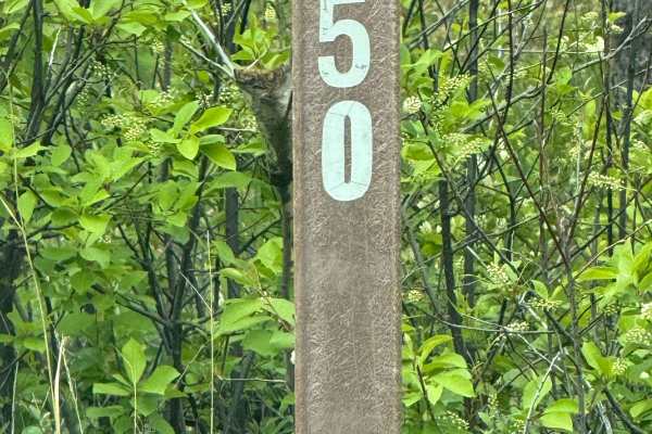
Lollipop Camp Raga - FS 650
FS650 makes a tight little lollipop-shaped loop just off the Raga area that's easy to overlook--but it's worth the turn. The road is mostly solid dirt with a few rock shelves, mellow enough for most high-clearance vehicles. As you wind around the loop, the timber opens up just enough to catch glimps...
Learn more about Lollipop Camp Raga - FS 650
Beginner ATV trails near Buffalo Gap, South Dakota
Explore ATV-friendly trails near you. These trails are accessible for vehicles up to 50 inches wide, perfect for ATVs and smaller off-road machines.
Song Dog Road
Starting from the south end of the trail on Argyle Rd, the trail begins in a lightly treed pine forest and follows a natural dirt and limestone path that is mostly packed and single-car width wide. The route includes several sections of semi-loose rocky hill climbs, with small rocks 3-4 inches in di...
Learn more about Song Dog Road
Fisherman Flats Road
Fisherman Flats Road, also known as Custer State Park Road 2, is an easy two-lane gravel road that provides a connection through the grasslands of Custer State Park's Wildlife Loop area. The route begins off CSP 1, directly across from the Wildlife Loop Visitor Center and just north of Oak Draw Road...
Learn more about Fisherman Flats Road
Oak Draw Road- CSP 3
Oak Draw Road, also known as Custer State Park Road 3, is a scenic two-lane gravel road that cuts across the wide open grasslands of the park's Wildlife Loop area. This lesser-traveled route offers an easy and enjoyable drive, with sweeping views of the prairie and abundant opportunities to spot wil...
Learn more about Oak Draw Road- CSP 3
North Lame Johnny Road
North Lame Johnny Road, also known as Custer State Park Road 4, is a two-lane gravel road that travels through the French Creek area of Custer State Park. The route can be accessed from the north at Highway 87 or from the south where it intersects Oak Draw Road (CSP 3). Along the way, it passes Fren...
Learn more about North Lame Johnny Road
Beginner UTV/side-by-side trails near Buffalo Gap, South Dakota
Find UTV and side-by-side trails near you. These trails accommodate vehicles up to 60 inches wide, ideal for UTVs, side-by-sides, and wider off-road rigs.
Song Dog Road
Starting from the south end of the trail on Argyle Rd, the trail begins in a lightly treed pine forest and follows a natural dirt and limestone path that is mostly packed and single-car width wide. The route includes several sections of semi-loose rocky hill climbs, with small rocks 3-4 inches in di...
Learn more about Song Dog Road
Fisherman Flats Road
Fisherman Flats Road, also known as Custer State Park Road 2, is an easy two-lane gravel road that provides a connection through the grasslands of Custer State Park's Wildlife Loop area. The route begins off CSP 1, directly across from the Wildlife Loop Visitor Center and just north of Oak Draw Road...
Learn more about Fisherman Flats Road
Oak Draw Road- CSP 3
Oak Draw Road, also known as Custer State Park Road 3, is a scenic two-lane gravel road that cuts across the wide open grasslands of the park's Wildlife Loop area. This lesser-traveled route offers an easy and enjoyable drive, with sweeping views of the prairie and abundant opportunities to spot wil...
Learn more about Oak Draw Road- CSP 3
North Lame Johnny Road
North Lame Johnny Road, also known as Custer State Park Road 4, is a two-lane gravel road that travels through the French Creek area of Custer State Park. The route can be accessed from the north at Highway 87 or from the south where it intersects Oak Draw Road (CSP 3). Along the way, it passes Fren...
Learn more about North Lame Johnny Road
The onX Offroad Difference
onX Offroad combines trail photos, descriptions, difficulty ratings, width restrictions, seasonality, and more in a user-friendly interface. Available on all devices, with offline access and full compatibility with CarPlay and Android Auto. Discover what you're missing today!
Open Trail Map