Trail Overview
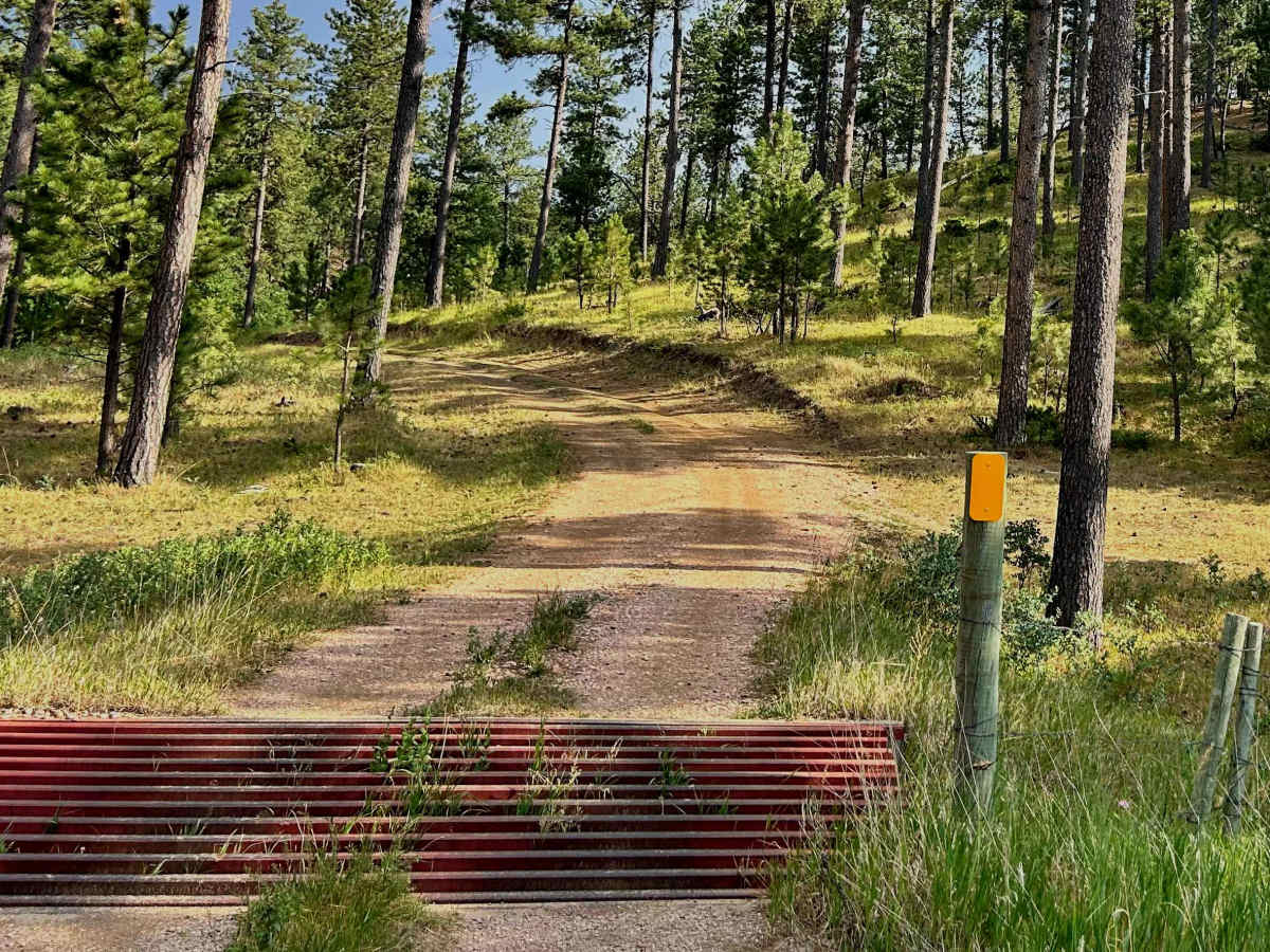
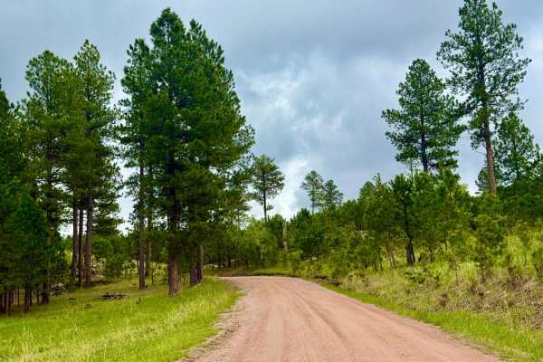
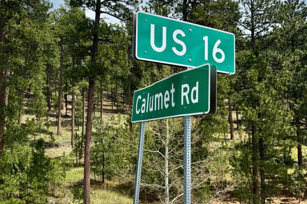
If you're visiting the Mount Rushmore area or just passing through on Highway 16, this is a convenient trail that's well worth exploring. The trailhead is located right off the highway, making it easy to access. Be cautious when turning off Highway 16, though—traffic can move quickly, so signal well in advance before entering the trail.
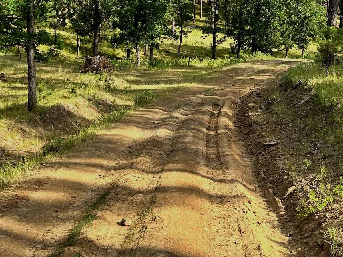
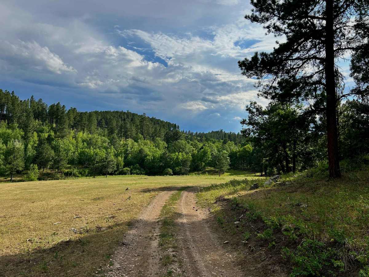
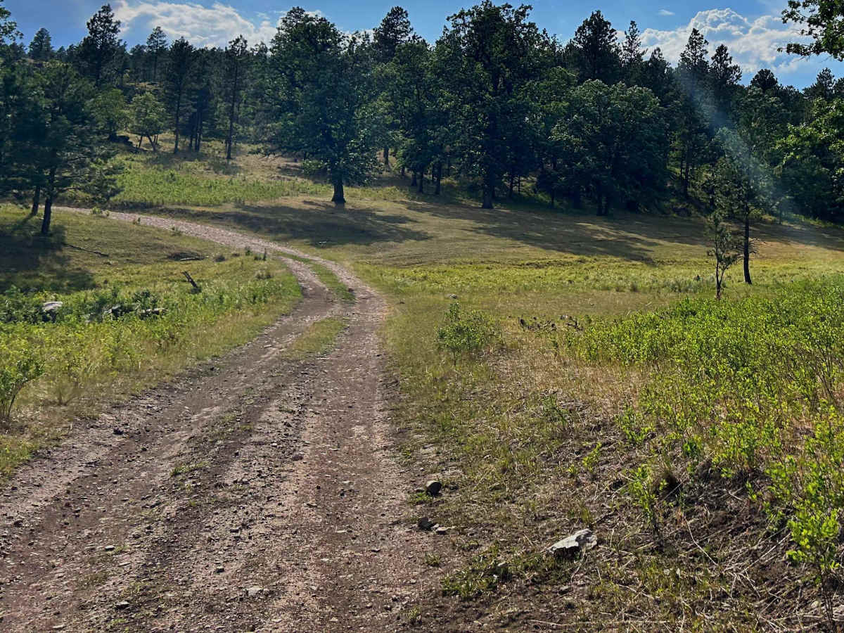
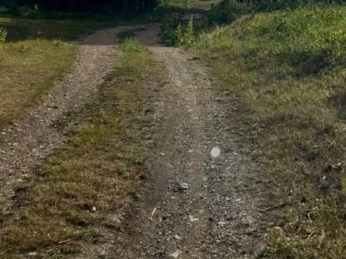
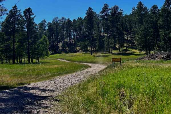
The trail begins with a few rutted sections that can become muddy after a good rain. Shortly after, you'll reach an open field that offers several great dispersed camping spots. While you'll still hear some highway noise, it's an excellent place for a quick overnight stay. Cattle often graze in the area and may wander near your campsite out of curiosity, but they generally keep their distance and aren't a problem.
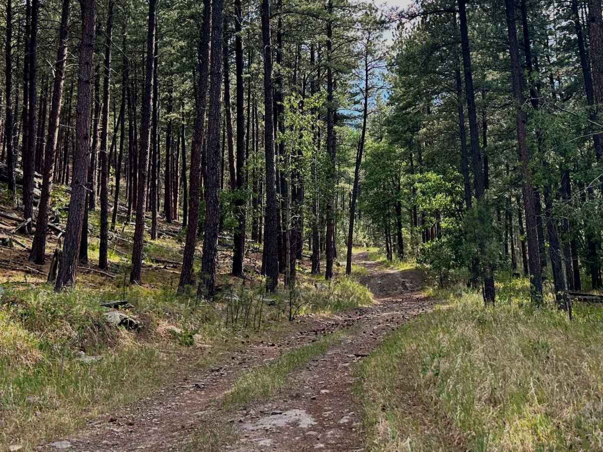
As you continue, you'll come to a junction. Taking the left fork rewards you with a unique view of the back side of Mount Rushmore, along with a fun section of trail featuring a muddy hill and deeper ruts that add a little excitement.
Continuing straight, the trail begins a steady climb. Expect more muddy areas and ruts after wet weather. At the top of the hill, you'll find another excellent dispersed camping spot nestled among the rocks with plenty of shade. Wildlife is common here, and it's not unusual to see deer, wild turkeys, and even cattle passing through.
The descent on the south side is steep, rocky, and loose, so take your time. At the bottom, the trail winds through a scenic valley where the grass grows tall. This section can become extremely muddy after periods of rain or prolonged wet weather.
The most challenging obstacle comes next—a narrow, steep climb covered in loose rock. It's a fun challenge for high-clearance 4x4s and side-by-sides (SxSs), but careful tire placement is important. There are also several downed trees close to the trail, so be mindful of your vehicle's width.
Once you've conquered the climb, the trail soon connects with the Twin Springs Cutoff Trail, providing a route back to Highway 16.
Overall, this is a fun trail with a great mix of scenery, moderate obstacles, and several quality dispersed camping opportunities. Just remember that camping is not permitted in the valley section, so be sure you know where dispersed camping is allowed before setting up camp.
Whether you're looking for a scenic drive, a little off-road adventure, or a peaceful overnight camp, this trail offers something for everyone.
As always, practice Leave No Trace—pack out what you pack in and leave only footprints.

 Offroad