Trail Overview
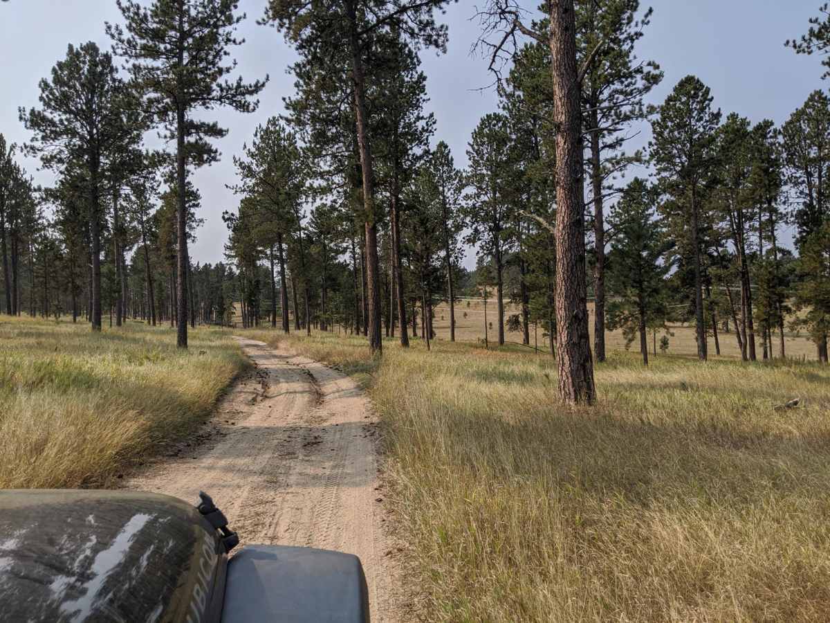
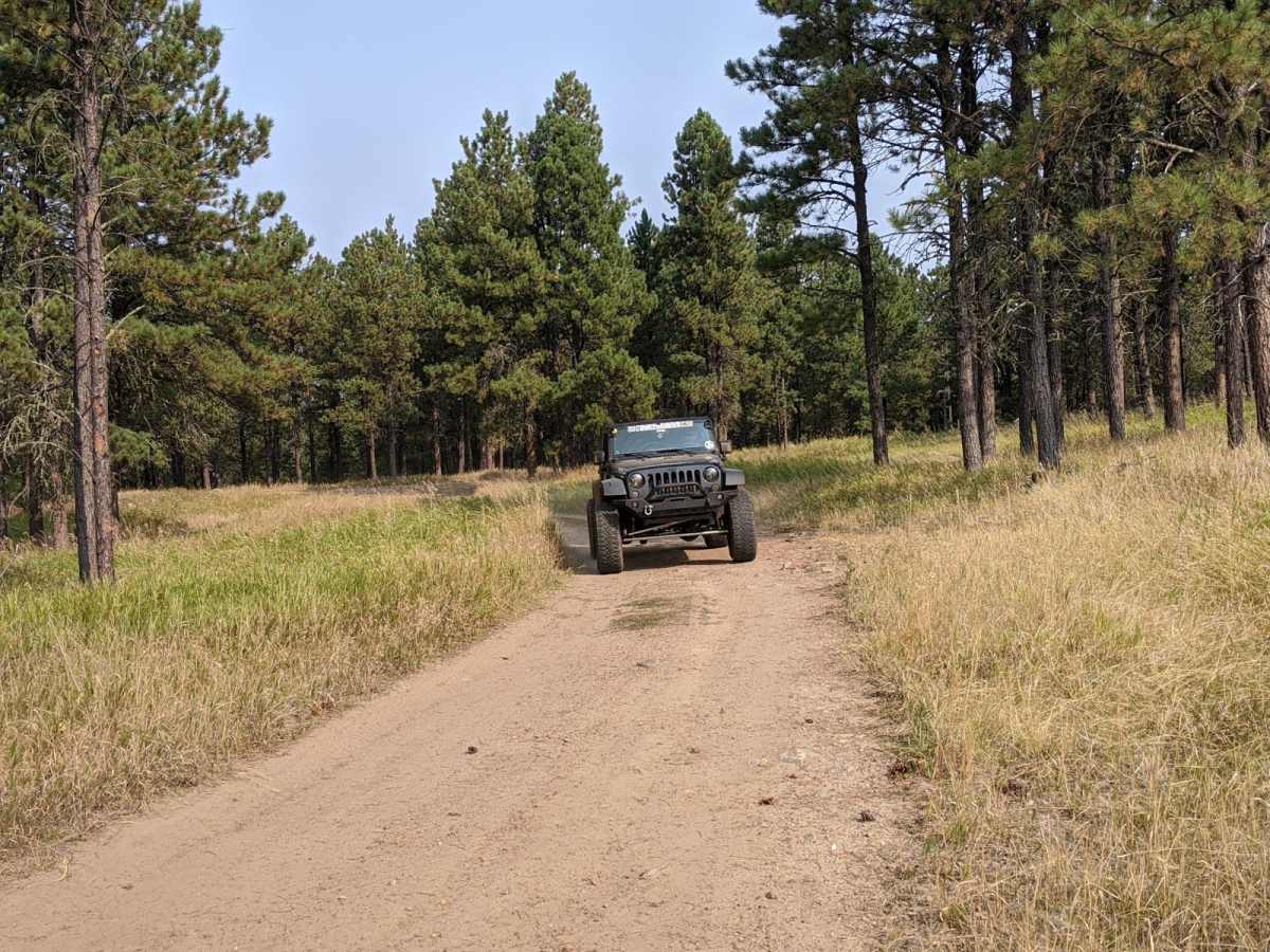
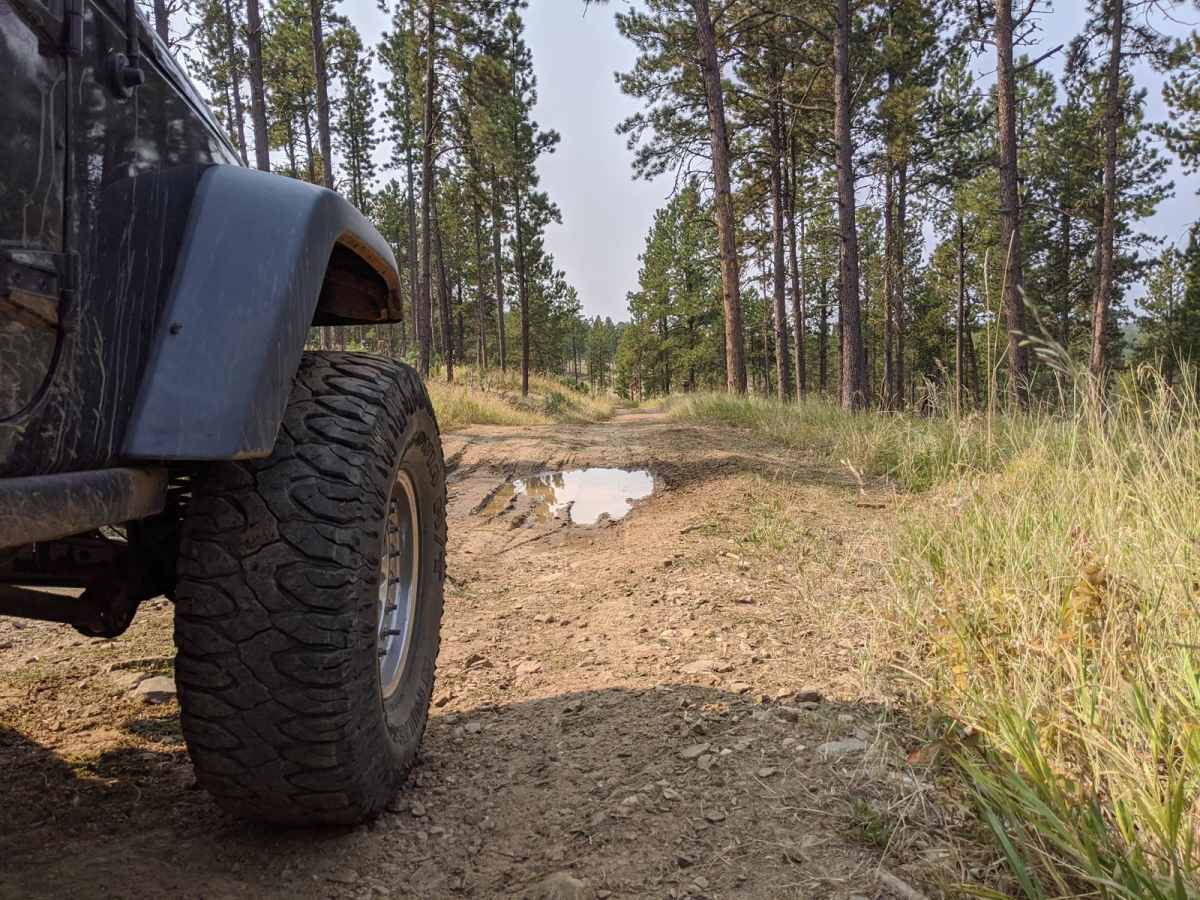
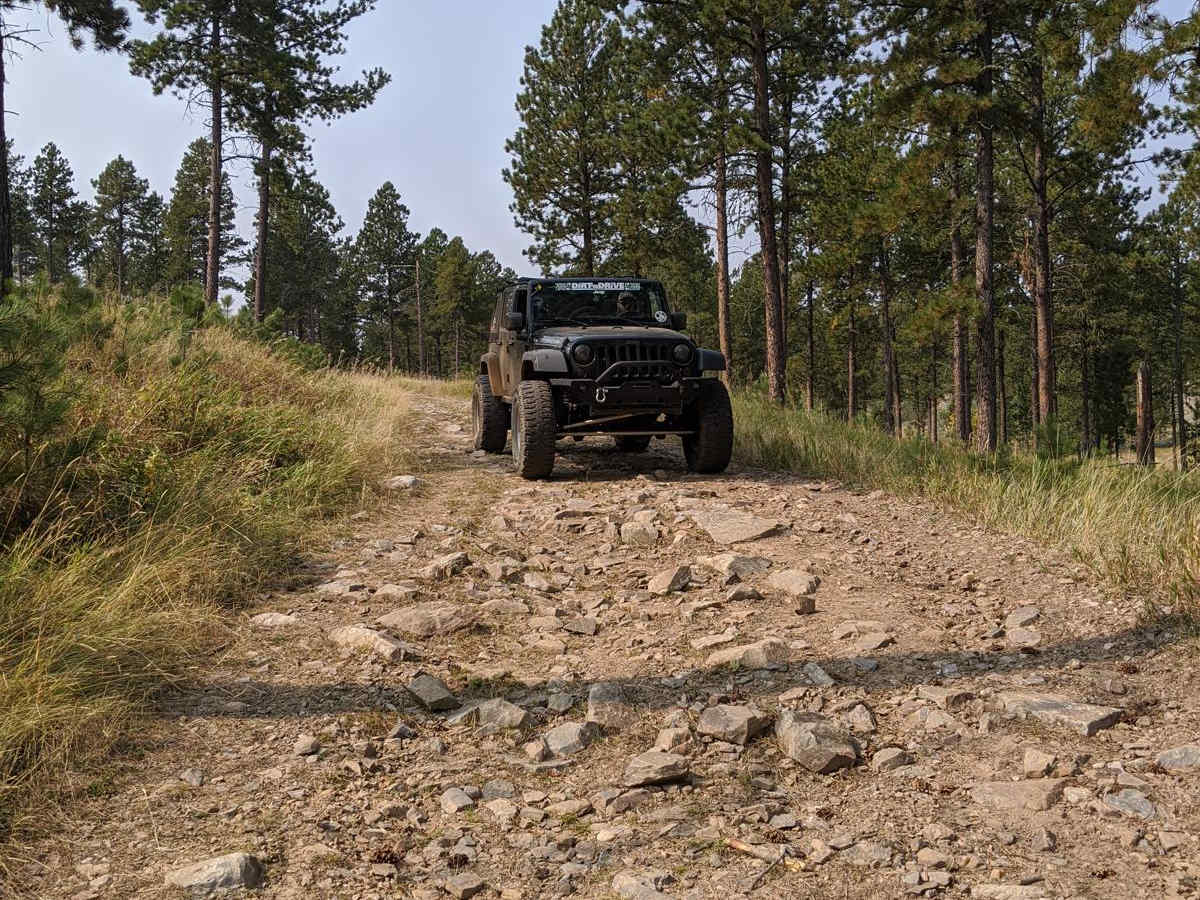
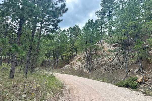
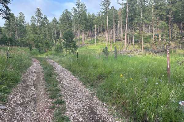
Custer Mountain Cutoff is an easy, highly accessible 3-mile scenic route near Custer, South Dakota, perfect for beginners, standard SUVs, and anyone looking for a relaxed drive through the Black Hills. Winding through dense stands of ponderosa pines and vibrant quaking aspens, this peaceful trail skirts the western edge of Custer State Park, offering a quiet escape from more congested tourist routes. The drive features gentle elevation changes and a solid dirt and gravel base that remains highly passable for most stock vehicles. There are multiple gates along the route that cross local grazing or management boundaries, so drivers must be prepared to open and securely close them behind themselves.
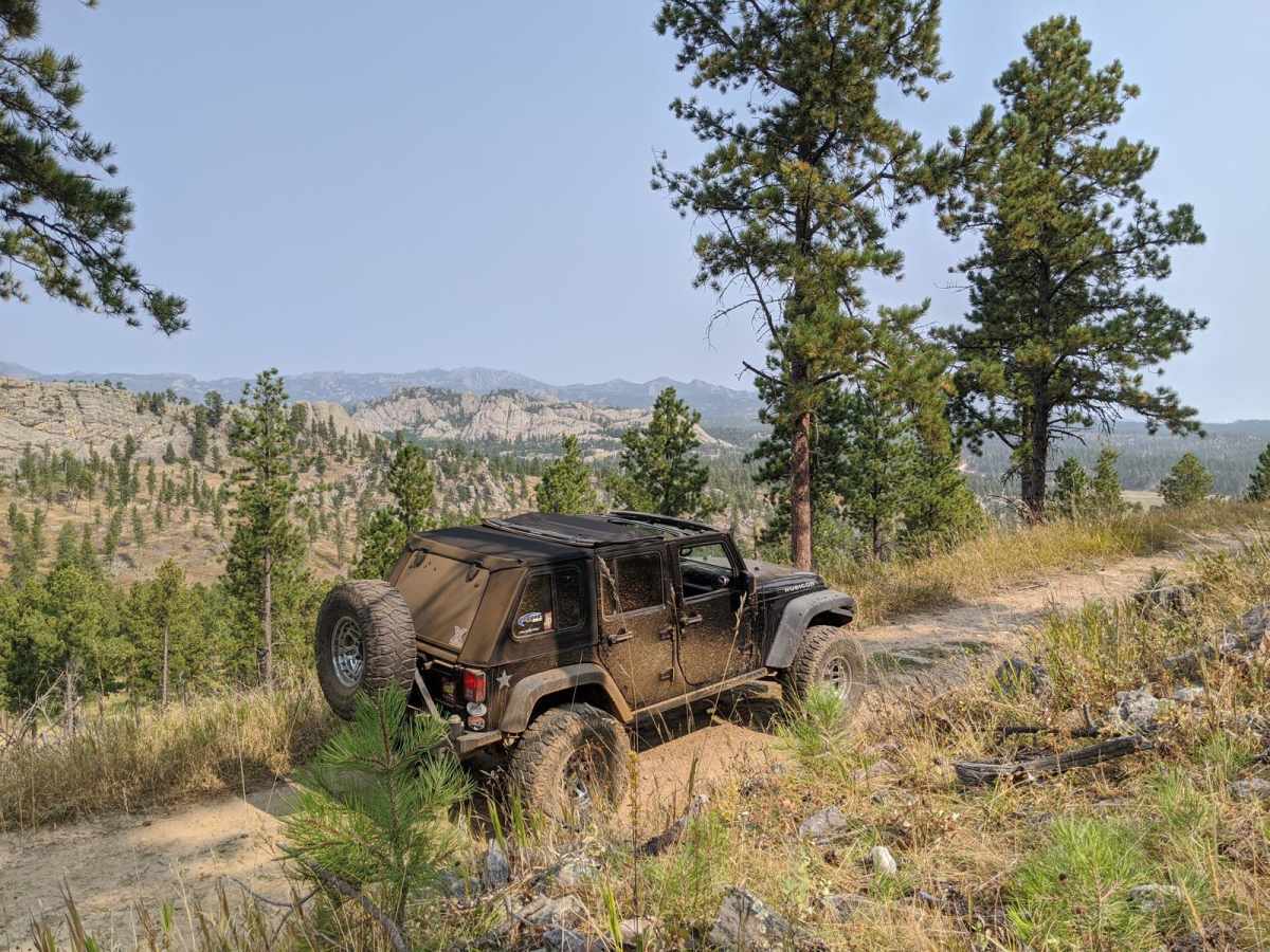
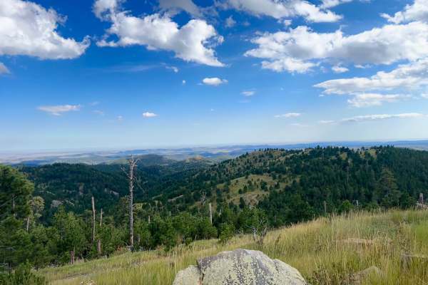
The trail serves as an excellent connector between Highway 16A and the scenic Stockade Lake area, making it easy to integrate into a larger day of exploring the Black Hills National Forest. Along the route, travelers will enjoy glimpses of Custer Mountain rising to 6,070 feet, with plenty of opportunities to spot local wildlife such as deer and elk moving through the timber. No special off-road equipment or high-clearance modifications are required, making this an ideal path for rental cars and stock crossovers during the dry summer and autumn months. Its proximity to Custer State Park means visitors can easily transition to hiking, fishing, or camping around nearby Stockade Lake after finishing the drive.
Access Description
No permits or fees are required to drive this trail, as it resides primarily within the Black Hills National Forest. However, because it borders Custer State Park and private ranch land, drivers must respect all closed gates by opening and closing them properly. Standard national forest motor vehicle use regulations apply.