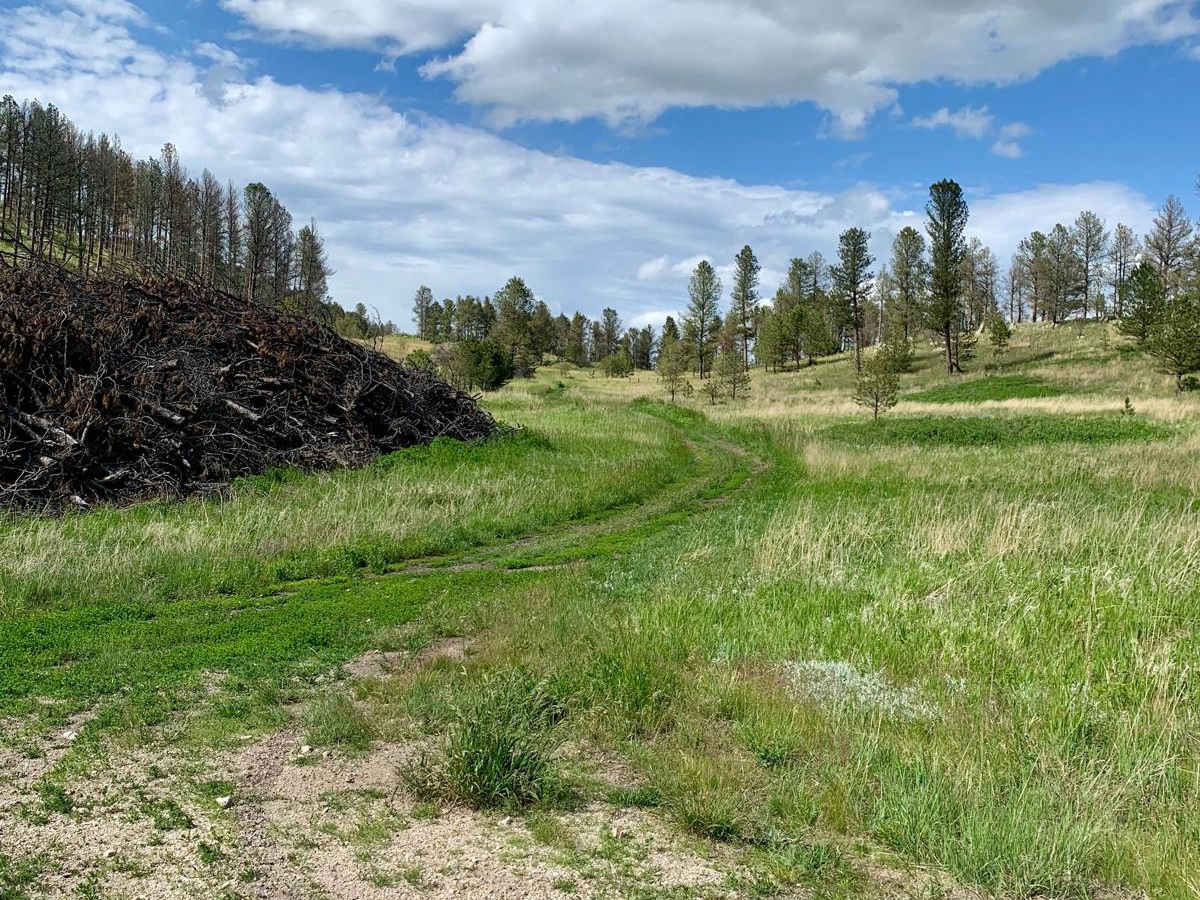
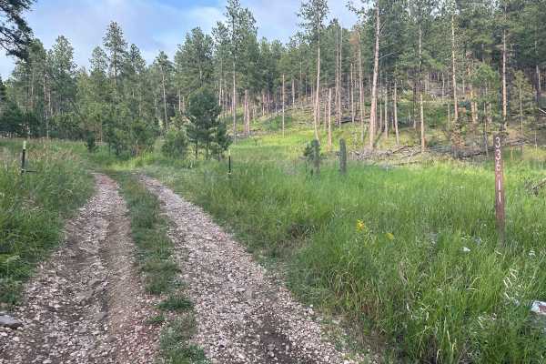
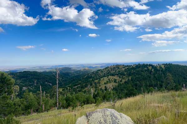
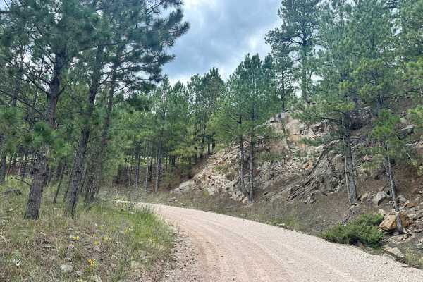
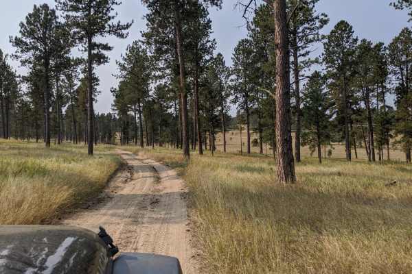
Trail Overview
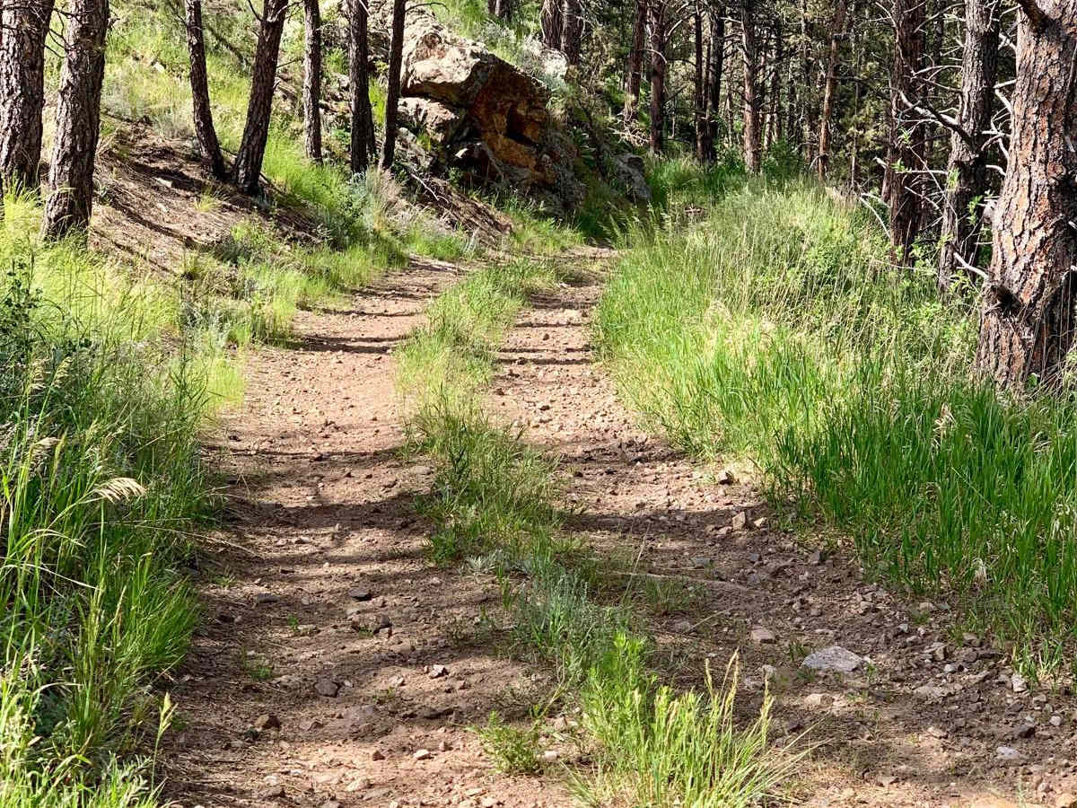
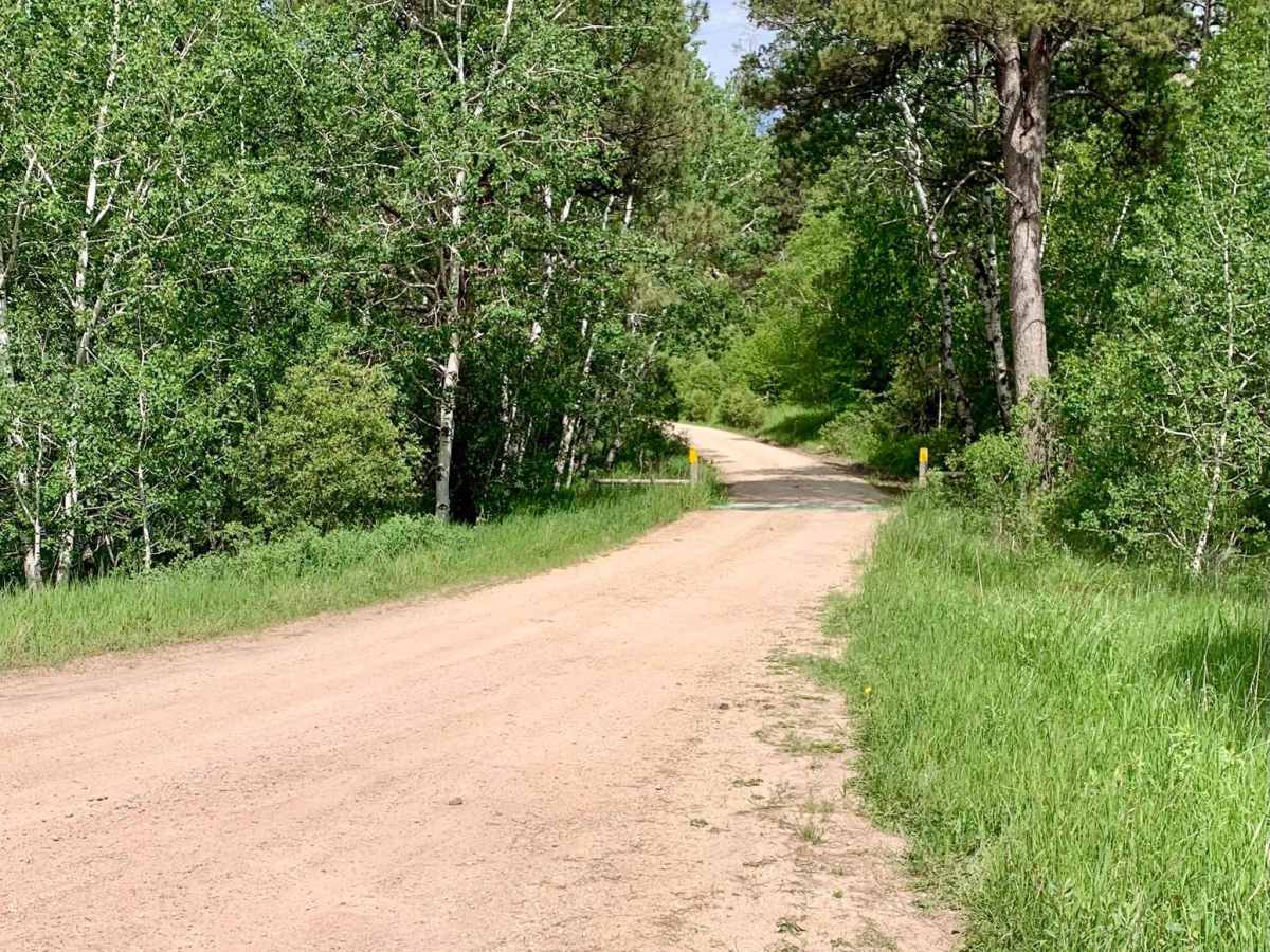
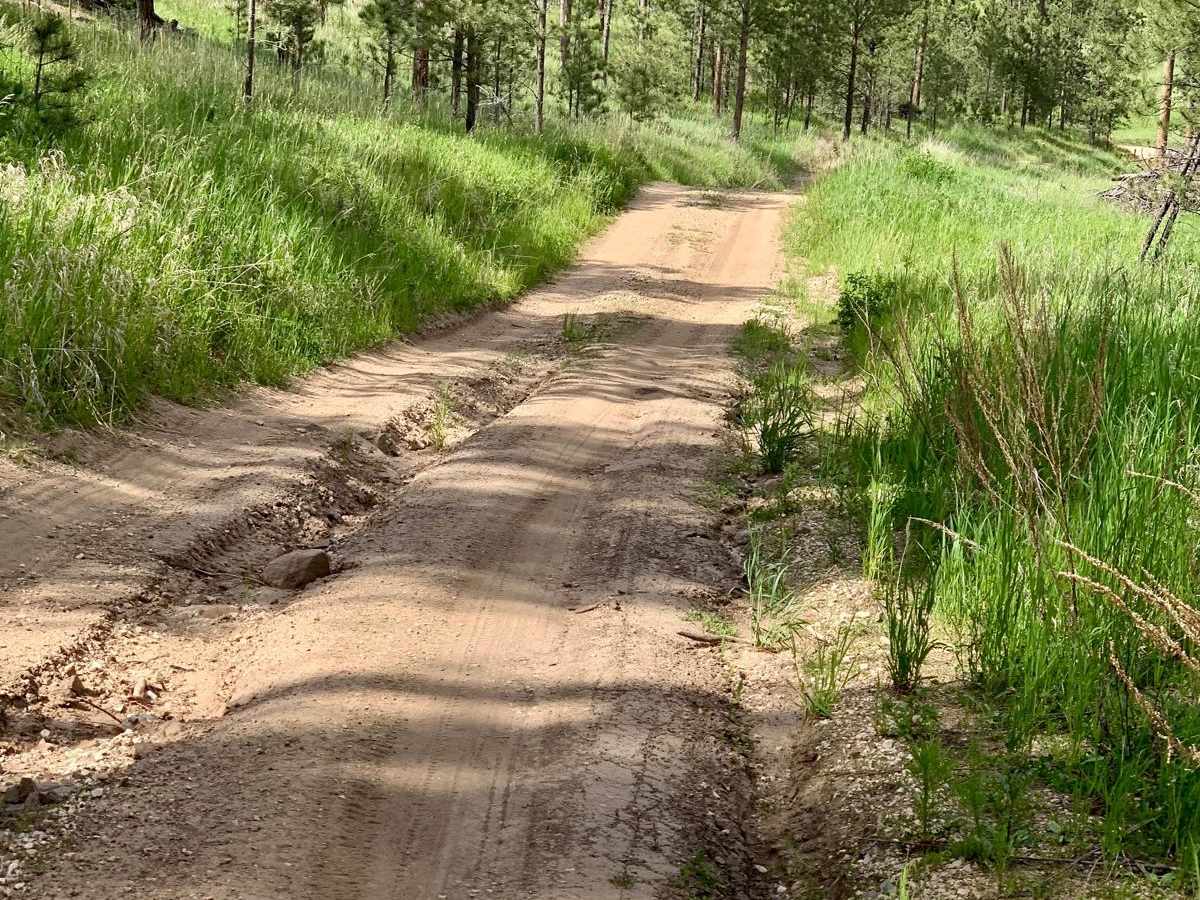
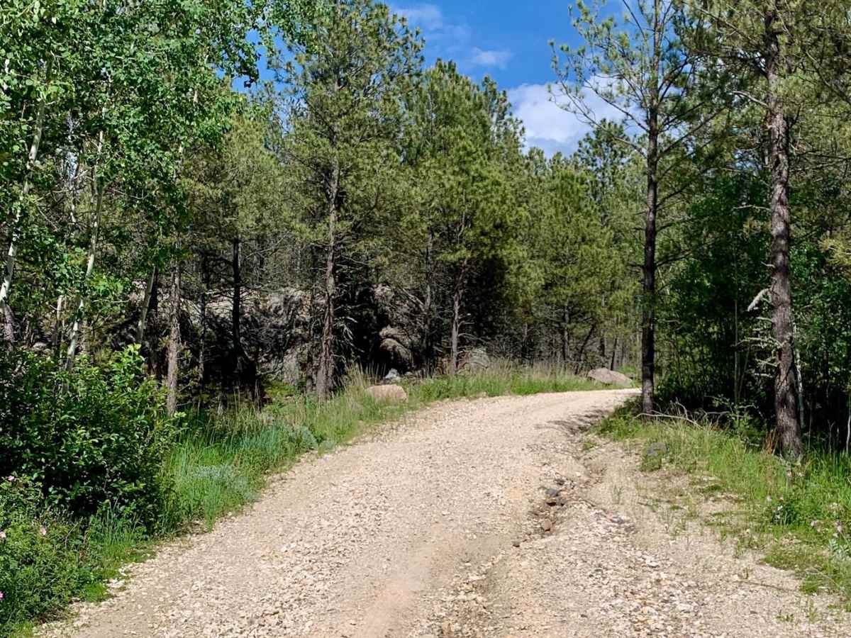
Bowman Road Loop is a 7.4-mile trail near Pringle, South Dakota, that flows in and out of the pine forest around Bowman Ridge. The trail is primarily composed of rock and sand, with loose sections that may pose challenges. Stock 4WD vehicles should have no issues, but motorcycles and 2WD vehicles should proceed with caution. The trail features a few hills with ruts 10-12 inches deep and some loose rocks 4-5 inches in diameter. The most difficult part of the trail is the connector halfway through the trail "382.1A," which is narrower than the rest and follows a long, smooth but steady incline with some mildly off-camber sections leaning towards a steep embankment. Full-size vehicles may scratch rocks and branches in this area. Aside from this incline, the rest of the trail is around 1.5 car widths wide. The pine forest and grassy valleys offer a scenic experience, and deer are plentiful in the area. Cell service is spotty throughout the trail. Vehicles without a license plate will need a Black Hills OHV Trail Pass. The trail also leads to several private properties off unmarked spur trails, so be respectful of neighbors and stick to the designated forest roads.
Difficulty
The trail includes loose gravel sections, rutted hills, and a single-car width, off-camber connector that may challenge some vehicles. Most of the path is suitable for stock 4WD vehicles, but motorcycles and 2WD vehicles should be cautious.