Windmill Draw to Hell Canyon to Alkali Ridge

Total Miles7.6
Technical Rating
3Easy
Best TimeSpring, Summer, Fall
Trail TypeHigh-Clearance 4x4 Trail
Accessible By
Open Trail Map

Trail Overview

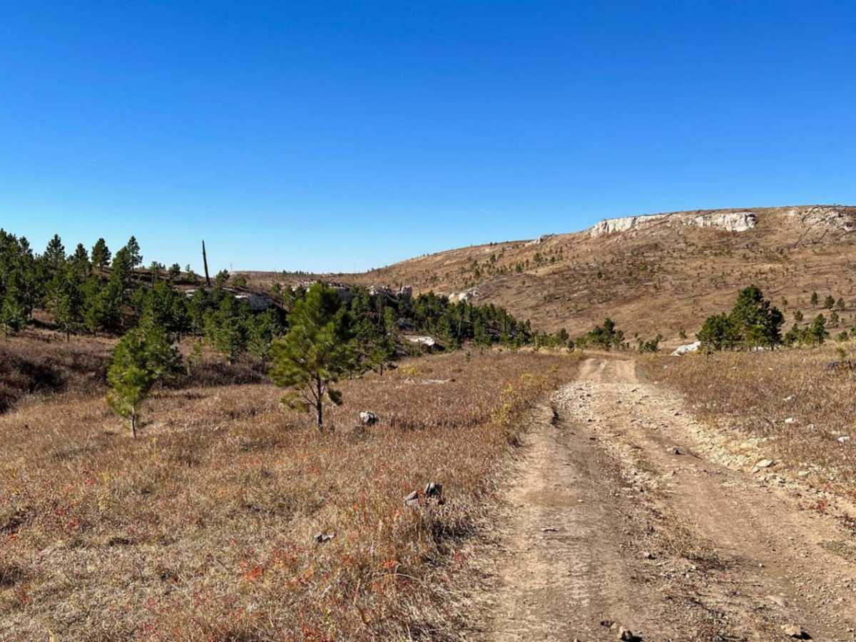
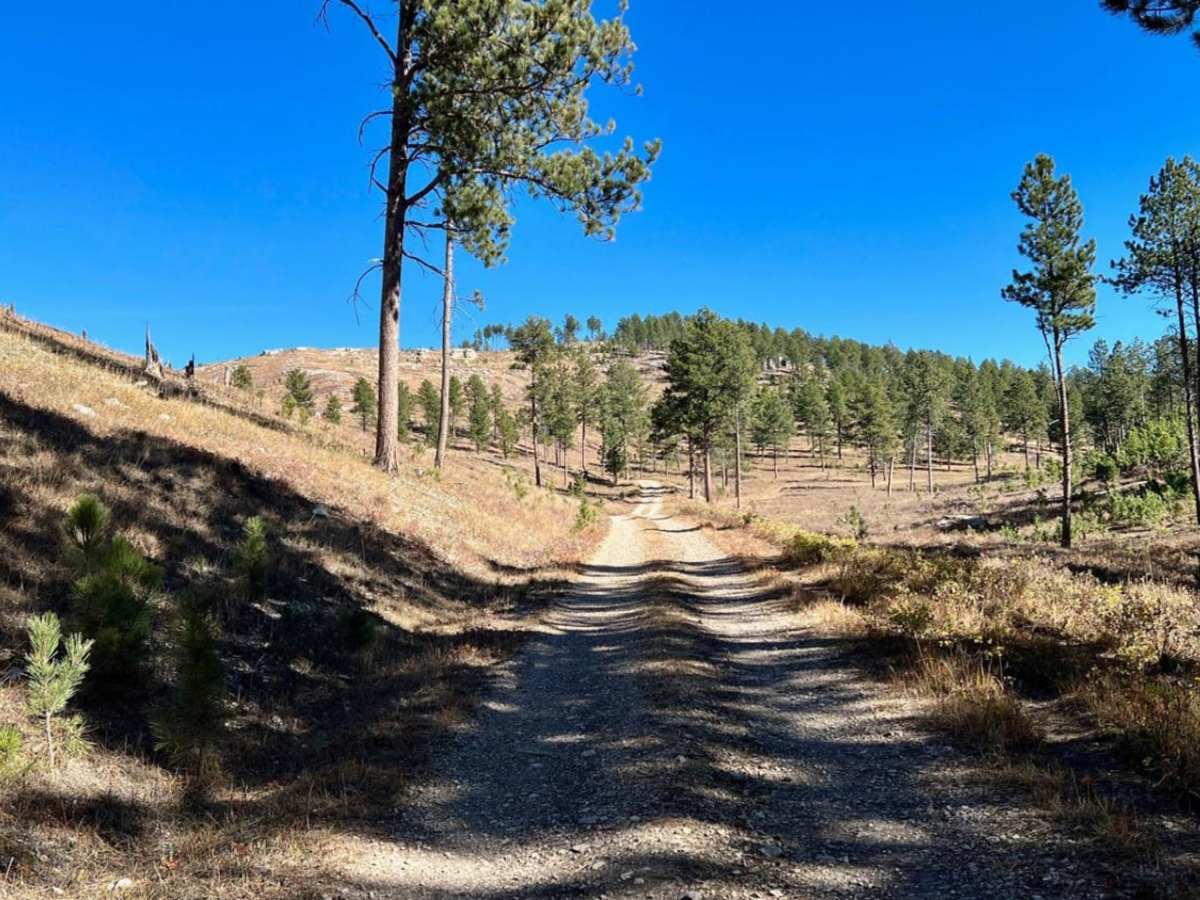
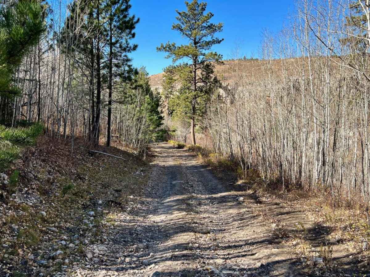
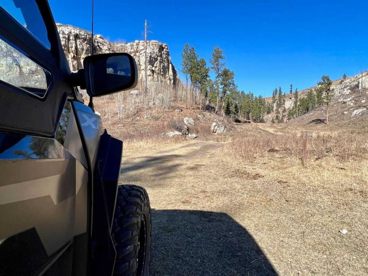
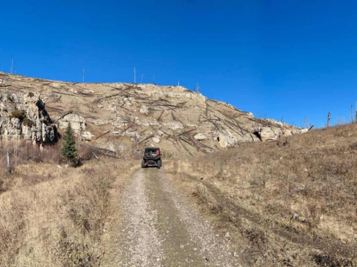
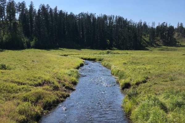
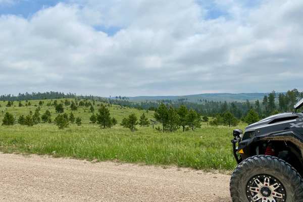
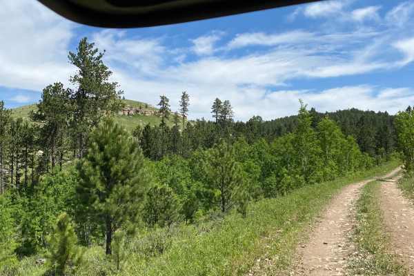
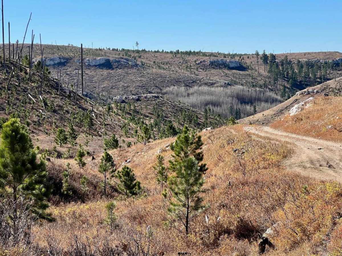
Travel from Windmill Draw - (FSR 681) to Hell Canyon - (FSR 284.2L) to Alkali Ridge (FSR 284.2C). This 7.7-mile route, from Custer Limestone Road in the north to US Highway 16 in the south, covers a wide variety of terrain and is one of the highlights of what the Black Hills offers to offroad enthusiasts. It's a very scenic route to take to/from US 16 when riding the southern portion of the FSRs. During the spring, grasses and wildflowers are abundant for much of the trail. The route does have 3 cattle gates and during the summer, you will come across cattle grazing;some are not too fast at moving out of your way. During the spring and summer months and after recent rain, there can be a lot of mud puddles and some deep ruts. Much of the route is rock and gravel but there are areas that are dirt covered with grass growing in the center of the road.

Photos of Windmill Draw to Hell Canyon to Alkali Ridge

Difficulty

There are several parts that are rock with washouts up to 12" deep and other parts have some deeper ruts 12-15" deep.

Technical Rating

3

Status Reports

Add Status Report
Peyton Christensen
Jun 09, 2024
2019 Jeep Cherokee
Open
Normal
Tyler Essex
Jul 01, 2023
Open
Muddy/Wet

Windmill Draw to Hell Canyon to Alkali Ridge Trail can be accessed by the following ride types:

  • Single Track
  • 50 Inch
  • 60 Inch
  • High Clearance

Windmill Draw to Hell Canyon to Alkali Ridge Map

The onX Offroad Difference

onX Offroad combines trail photos, descriptions, difficulty ratings, width restrictions, seasonality, and more in a user-friendly interface. Available on all devices, with offline access and full compatibility with CarPlay and Android Auto. Discover what you're missing today!

Open Trail Map