Trail Overview
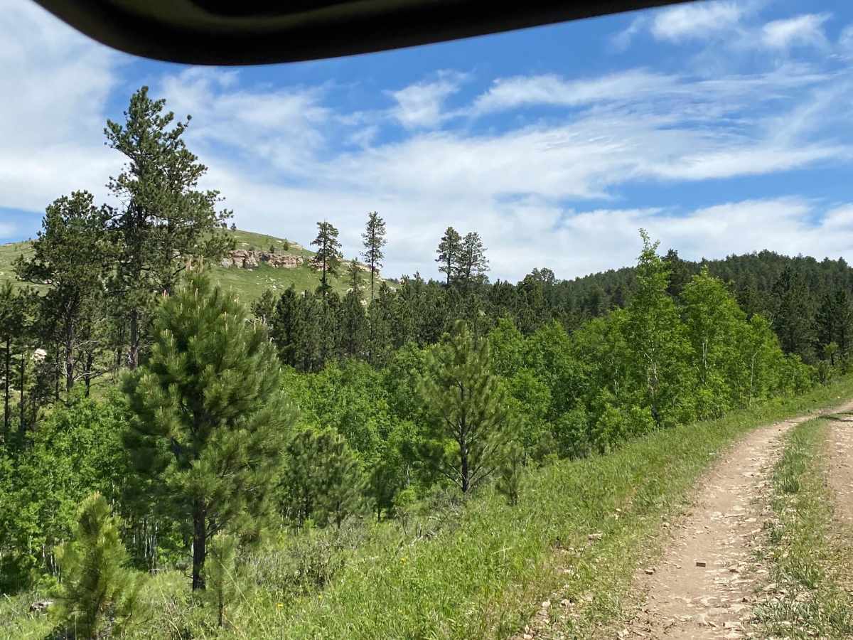
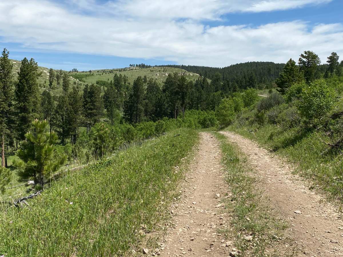
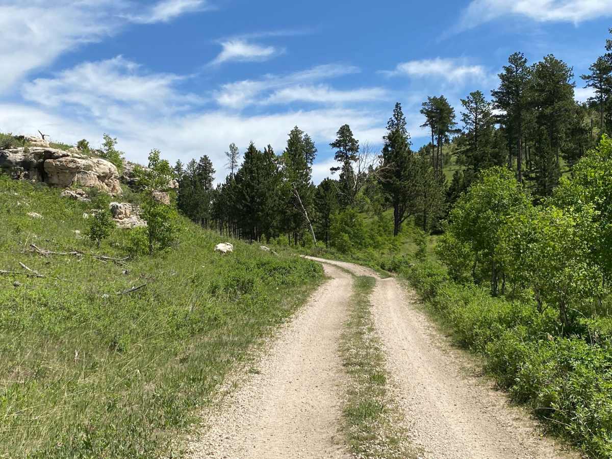
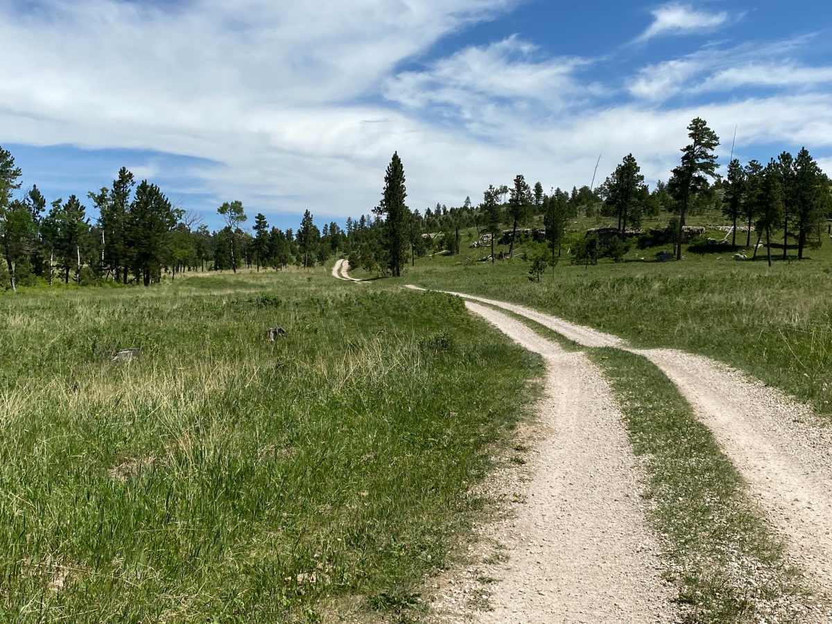
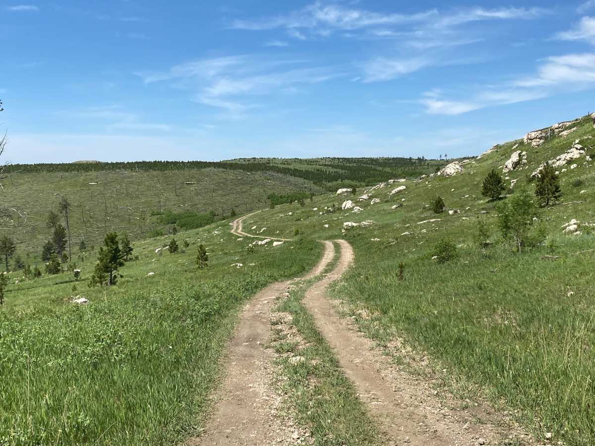
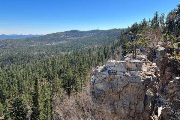
Alkali Spring, also known as Forest Road 472, is an easy and scenic 3.8-mile trail ideal for beginners, family outings, and any vehicle capable of navigating a single-lane gravel road through the Black Hills National Forest. This beginner-friendly route connects Ditch Creek Road to Custer Limestone Road, providing a straightforward north-south connection. The trail features a solid gravel base with grass growing down the center, presenting no significant washouts or mud holes, making it highly accessible for standard two-wheel-drive vehicles under dry conditions as well as high-clearance four-wheel-drive vehicles and SxSs. Drivers will wind through a small, scenic canyon before ascending to run along the tops of two distinct ridges on both the northern and southern portions of the route.
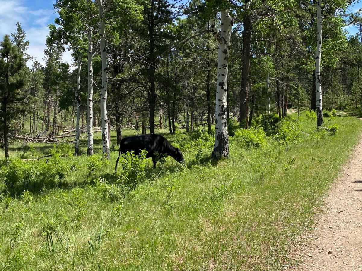
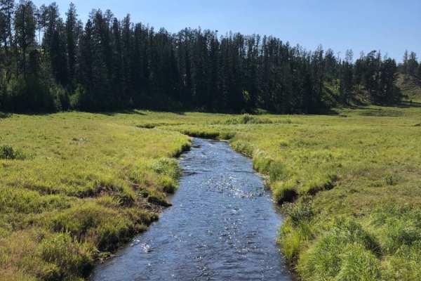
With elevation ranging from 6,272 to 6,573 feet and a modest 587 feet of cumulative gain, the route offers gentle climbs and panoramic views of the surrounding pine-clad hills. Navigating the route requires passing through a couple of cattle gates, including one located approximately a quarter-mile north of Custer Limestone Road and another about three-quarters of a mile south of Ditch Creek Road. During the spring and summer months, active cattle grazing occurs throughout the area, so visitors should expect livestock on or near the roadway and take care to close all gates behind them. Wildflowers frequently bloom along the grassy center-strip during early summer, making this a particularly picturesque drive during the warmer seasons when the route is fully accessible and dry.
Difficulty
The road is a single lane road that has a good gravel base. No significant washouts or mud holes on it. Much of the road has grass growing down the middle between the tire tracks and there is some wildflowers growing amongst the grass in the spring/early summer. Most any vehicle would be capable on this road.
Access Description
The trail runs adjacent to sections of private land and requires opening and closing two cattle gates. One gate is located approximately one-quarter mile north of Custer Limestone Road, and another is about three-quarters of a mile south of Ditch Creek Road. During the spring and summer, active cattle grazing takes place throughout the area, and livestock are frequently present on the road.

 Offroad