Ditch Creek

Total Miles3.1
Technical Rating
2Easy
Best TimeFall, Summer, Spring
Trail TypeHigh-Clearance 4x4 Trail
Accessible By
Open Trail Map

Trail Overview

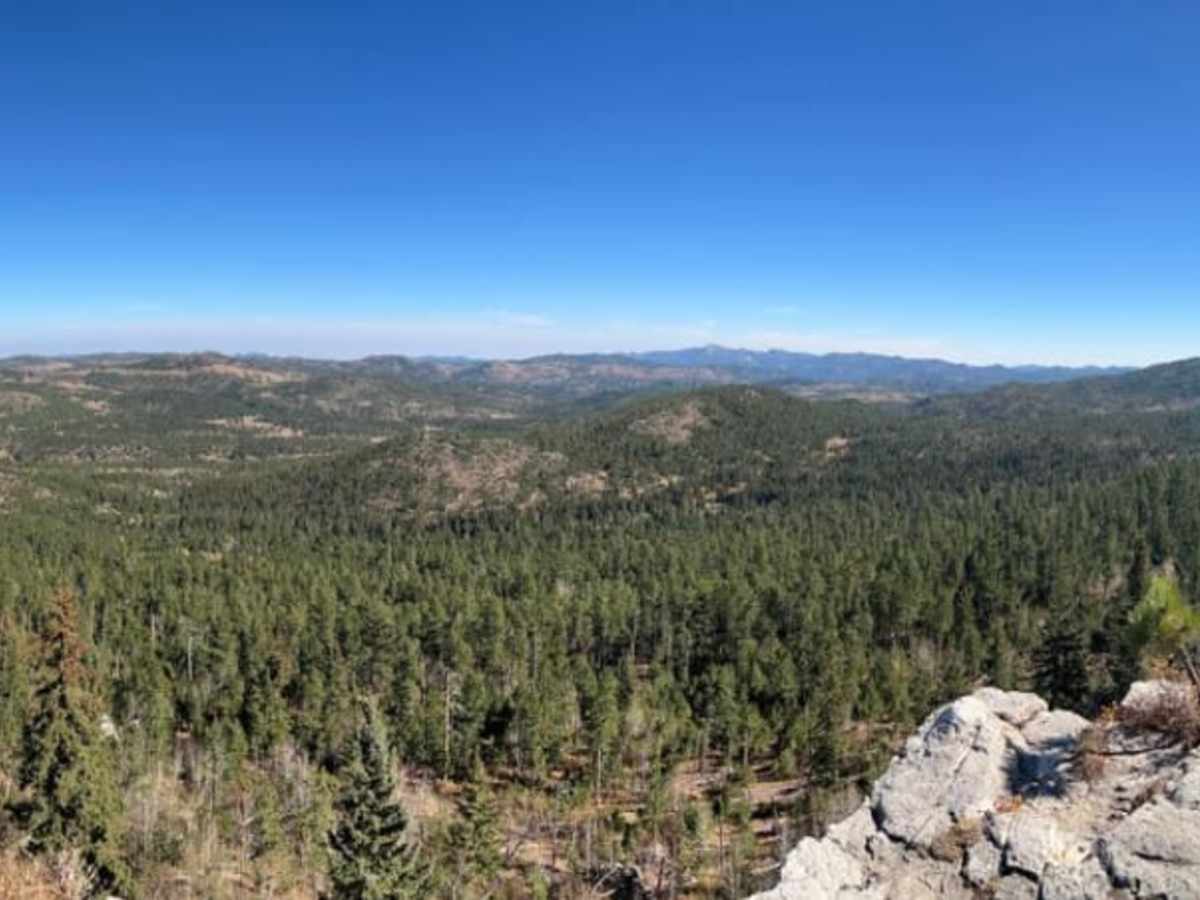
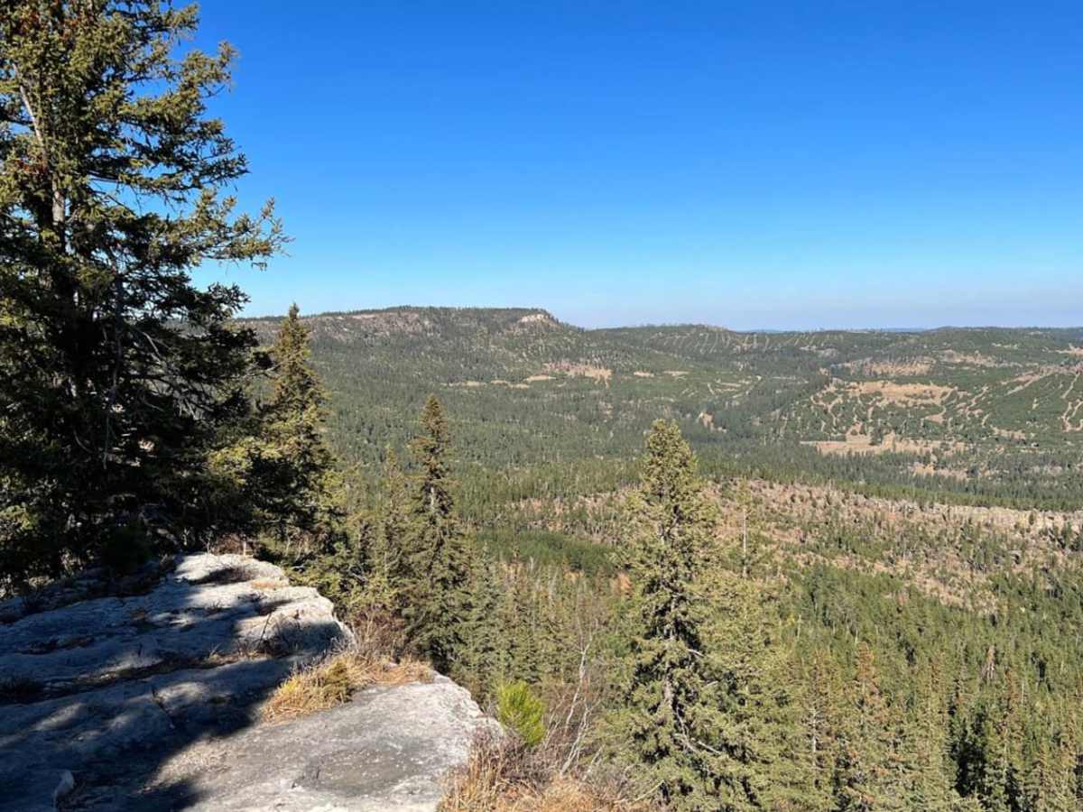
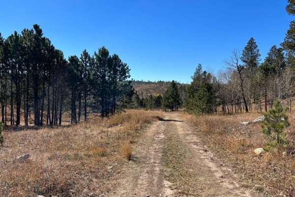
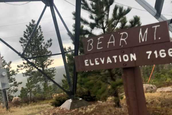
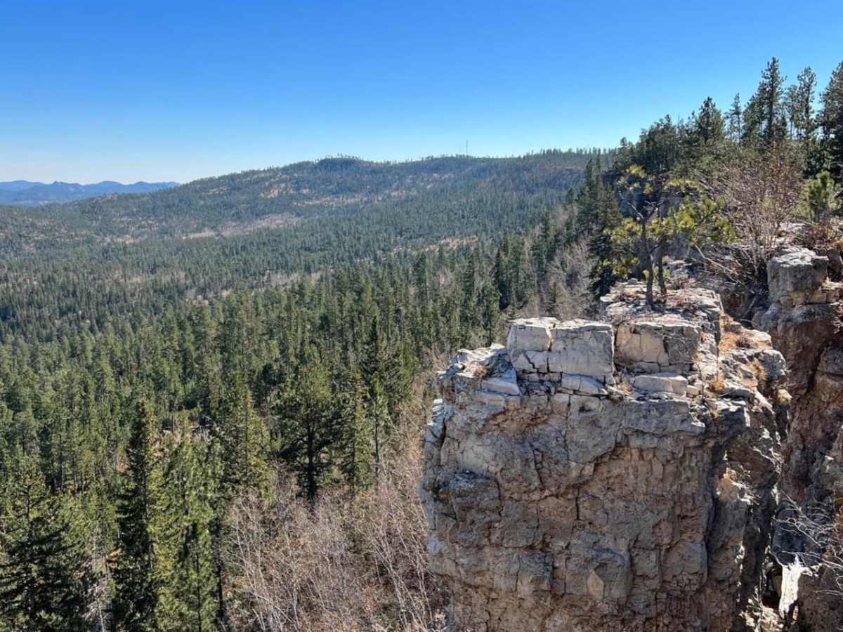
While many people make Bear Mountain Lookout a destination, the overlook at the end of FS 291.3K is spectacular any time of the year and is definitely one not to miss. This route off Ditch Creek is not heavily traveled but the scenic overlook is one of the best places to stop in the Black Hills.

Photos of Ditch Creek

Difficulty

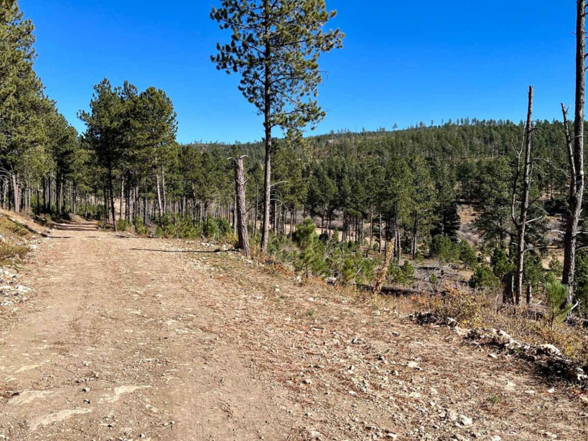
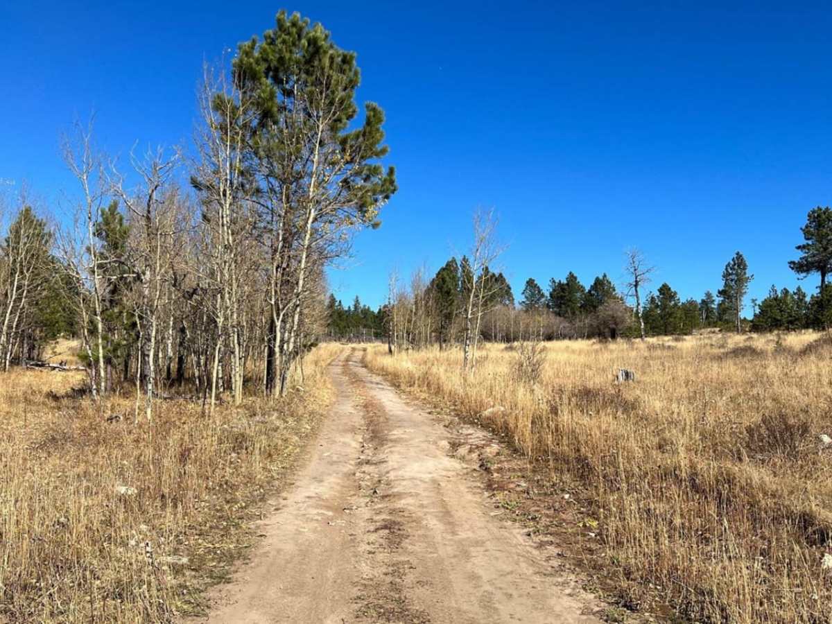
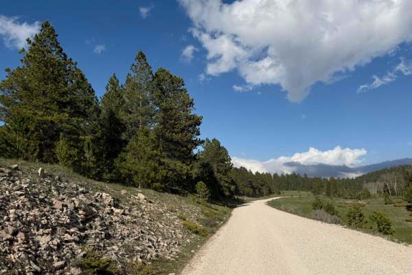
Gravel and dirt road with some ruts and mud puddles after recent rain.

Technical Rating

2

Status Reports

Add Status Report
Bob DiRocco
Jun 27, 2026
2021 Polaris RZR XP 1000
Open
Muddy/Wet
The trail was pretty muddy today as we had a week of showers. Some of the mudholes you can skirt the edge, but others you can't. None of the water or mud is over 6 inches deep. There are some small, rutted sections.
Bob DiRocco
May 24, 2026
Open
Muddy/Wet
This is one of our favorite look out trails We always enjoy taking new people here to check it out. We arrived at sunset this time and the views did not disappoint. There are always some muddy/wet spots during the spring and fall, but nothing more than 6 inches deep.
Bob DiRocco
Aug 16, 2025
Open
Muddy/Wet
We have had quite a bit of rain lately, so mud holes had some water in them. The views were fantastic. Try to go on a clear day as clouds can block the views.
Bob DiRocco
Jun 08, 2025
Open
Normal
Greg is correct about the views from this look out. Having been to Bear Mountain Look out many times, I have to agree the views are fantastic here.

Ditch Creek Trail can be accessed by the following ride types:

  • Single Track
  • 50 Inch
  • 60 Inch
  • High Clearance

Ditch Creek Map

The onX Offroad Difference

onX Offroad combines trail photos, descriptions, difficulty ratings, width restrictions, seasonality, and more in a user-friendly interface. Available on all devices, with offline access and full compatibility with CarPlay and Android Auto. Discover what you're missing today!

Open Trail Map