North Lame Johnny Road

Total Miles7.9
Technical Rating
1Easy
Best TimeSpring, Summer, Fall
Trail TypeFull-Width Road
Accessible By
Open Trail Map

Trail Overview

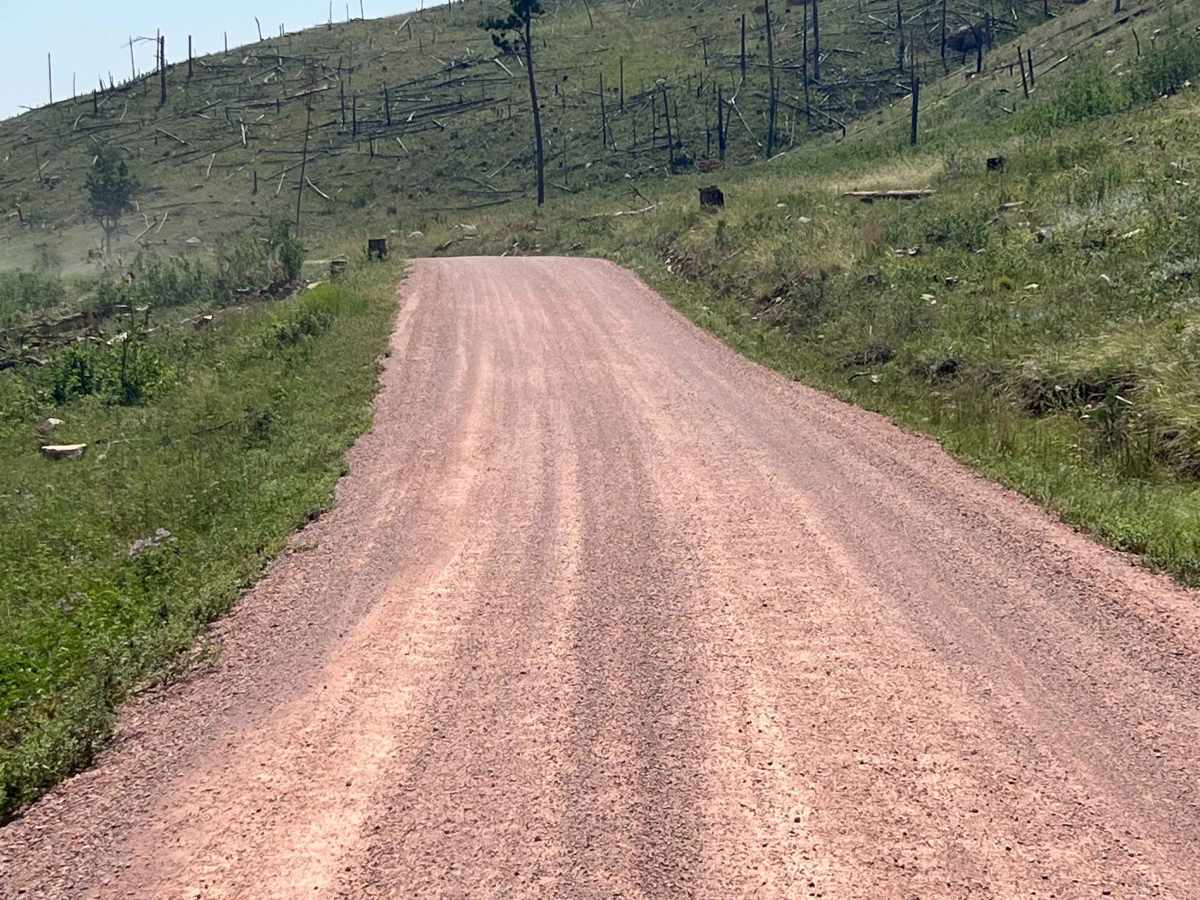
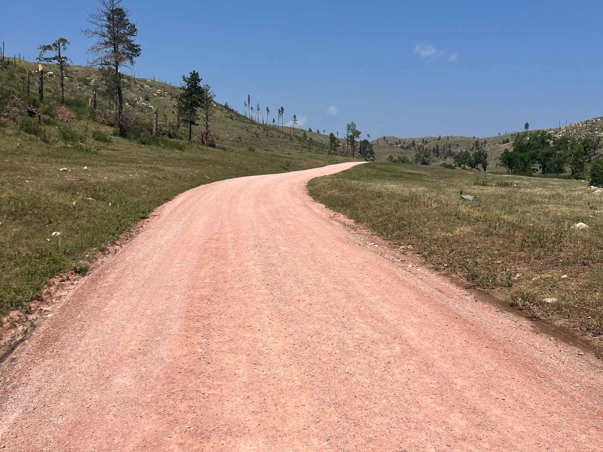
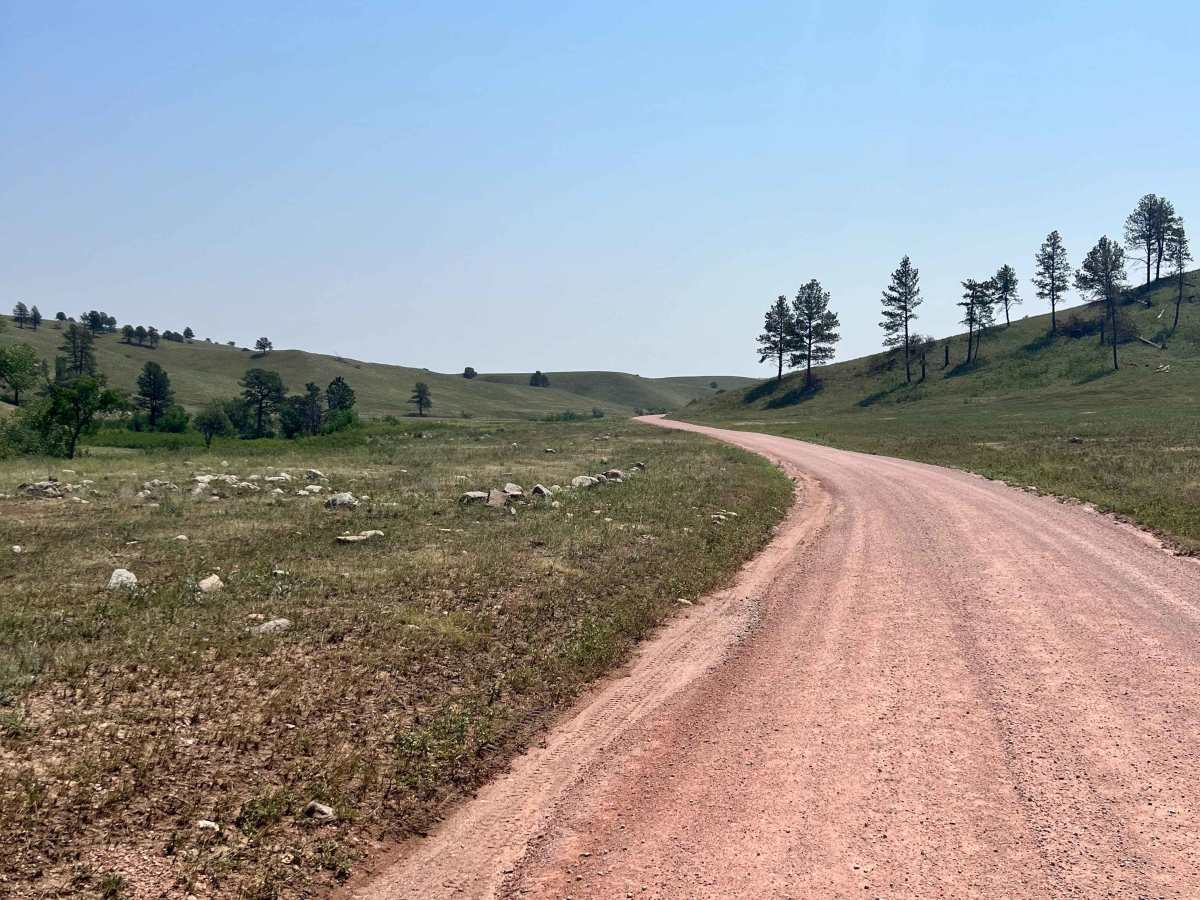
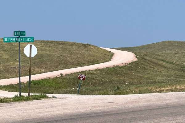
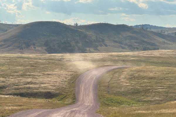
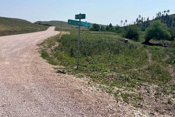
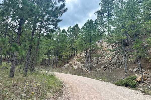
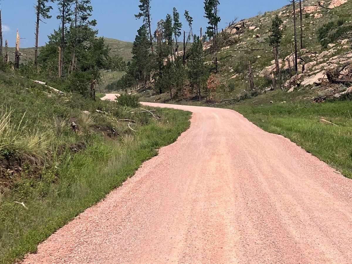
North Lame Johnny Road, also known as Custer State Park Road 4, is a two-lane gravel road that travels through the French Creek area of Custer State Park. The route can be accessed from the north at Highway 87 or from the south where it intersects Oak Draw Road (CSP 3). Along the way, it passes French Creek Horse Camp before winding through open meadows and pine forest with frequent opportunities to view wildlife. The well-maintained road is suitable for most vehicles and provides access to a quieter section of the park while remaining close to the Wildlife Loop. Visitors may encounter bison, pronghorn, deer, and other wildlife throughout the route. A Custer State Park pass is required to access this route.

Photos of North Lame Johnny Road

Difficulty

Easy 2-lane, well-maintained road without obstacles.

Technical Rating

1

North Lame Johnny Road Trail can be accessed by the following ride types:

  • Single Track
  • 50 Inch
  • 60 Inch
  • High Clearance
  • Full Width

North Lame Johnny Road Map

The onX Offroad Difference

onX Offroad combines trail photos, descriptions, difficulty ratings, width restrictions, seasonality, and more in a user-friendly interface. Available on all devices, with offline access and full compatibility with CarPlay and Android Auto. Discover what you're missing today!

Open Trail Map