Swint Road

Total Miles1.4
Technical Rating
1Easy
Best TimeSpring, Summer, Fall
Trail TypeFull-Width Road
Accessible By
Open Trail Map

Trail Overview

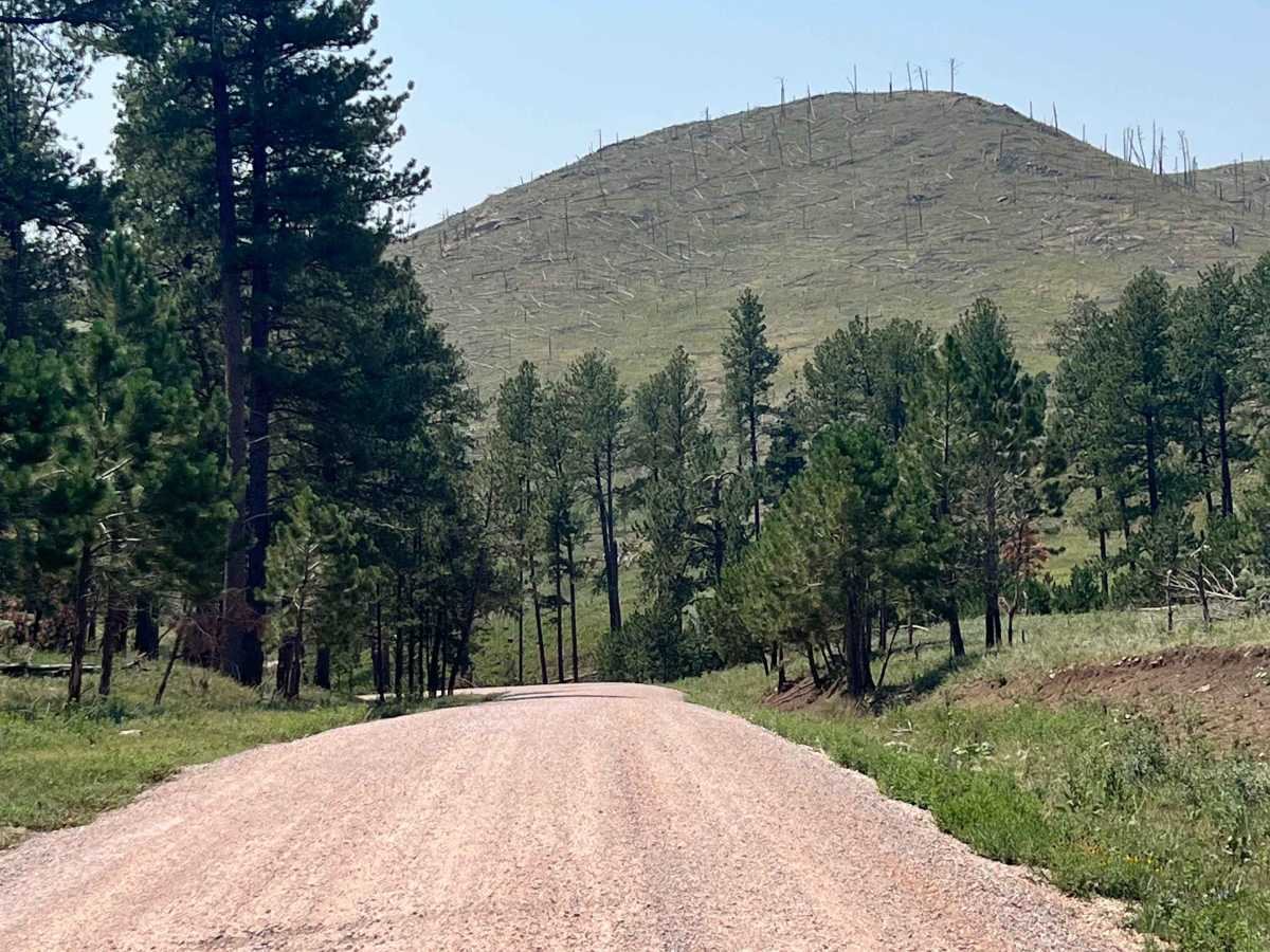
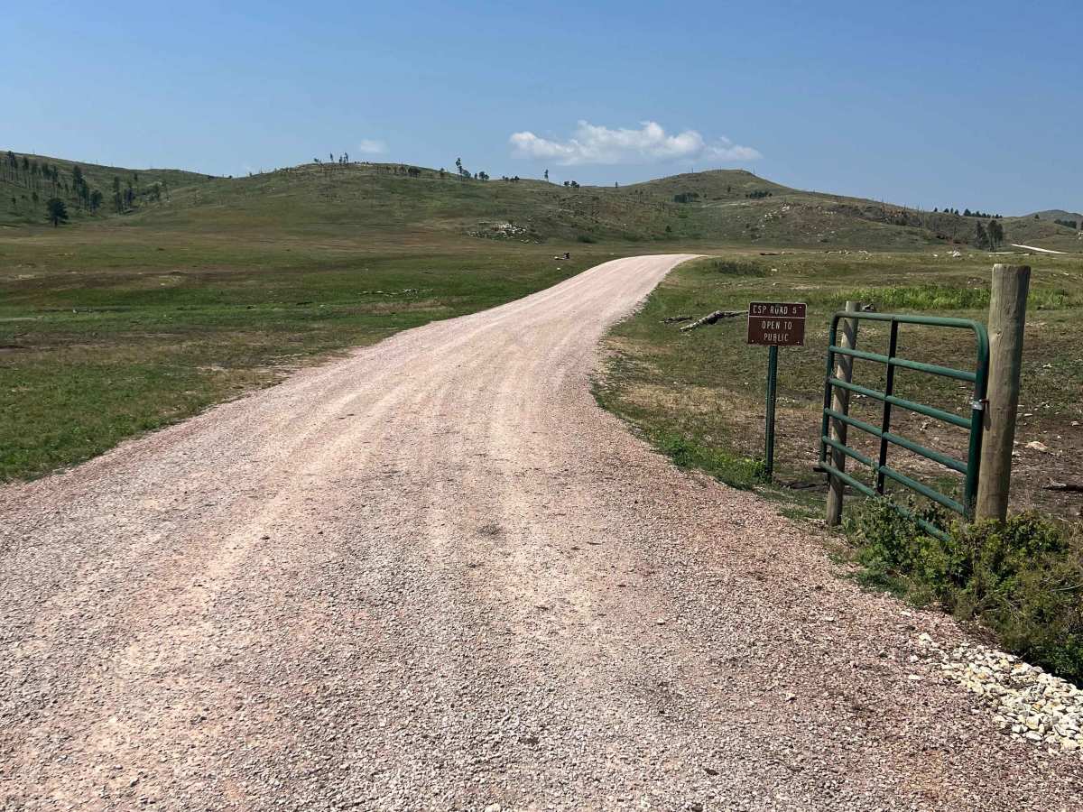
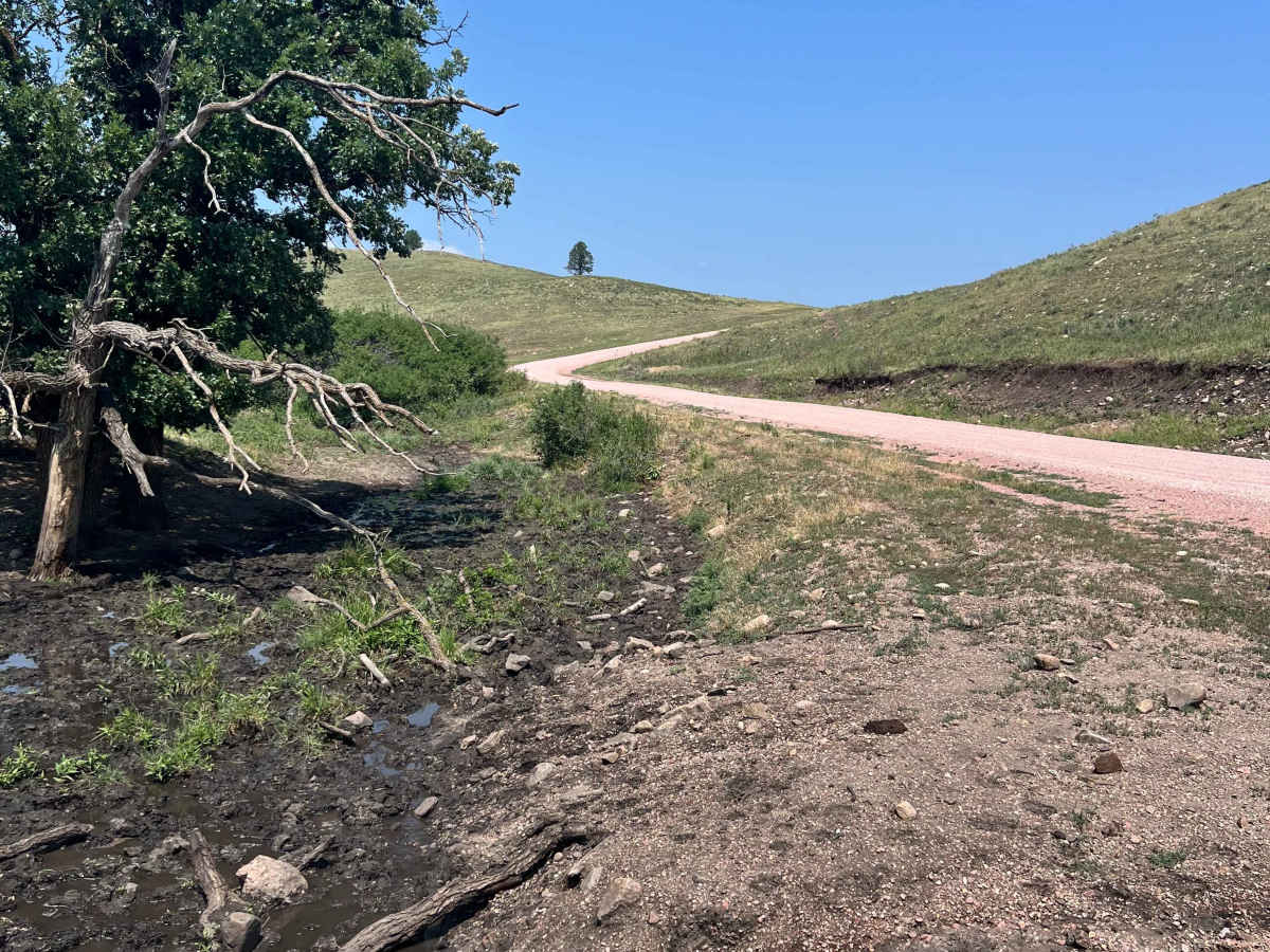
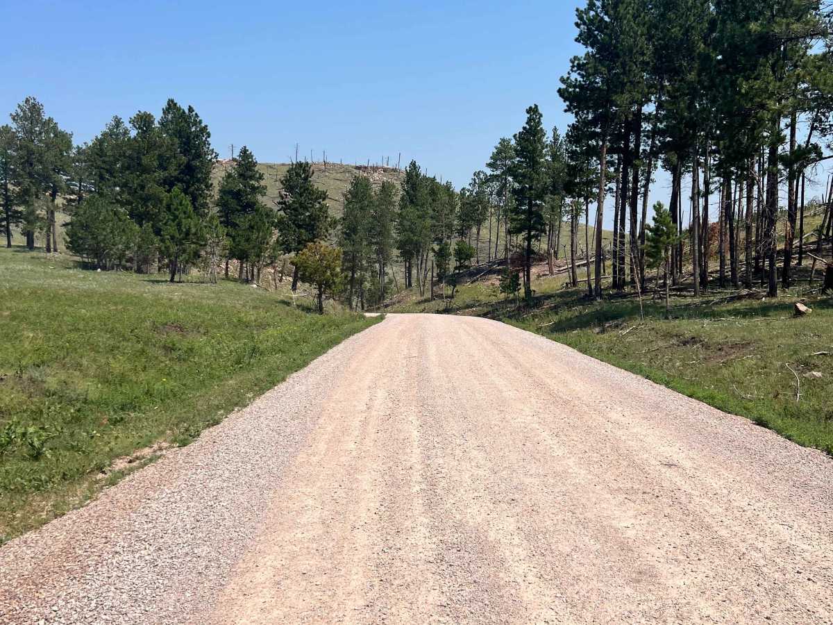
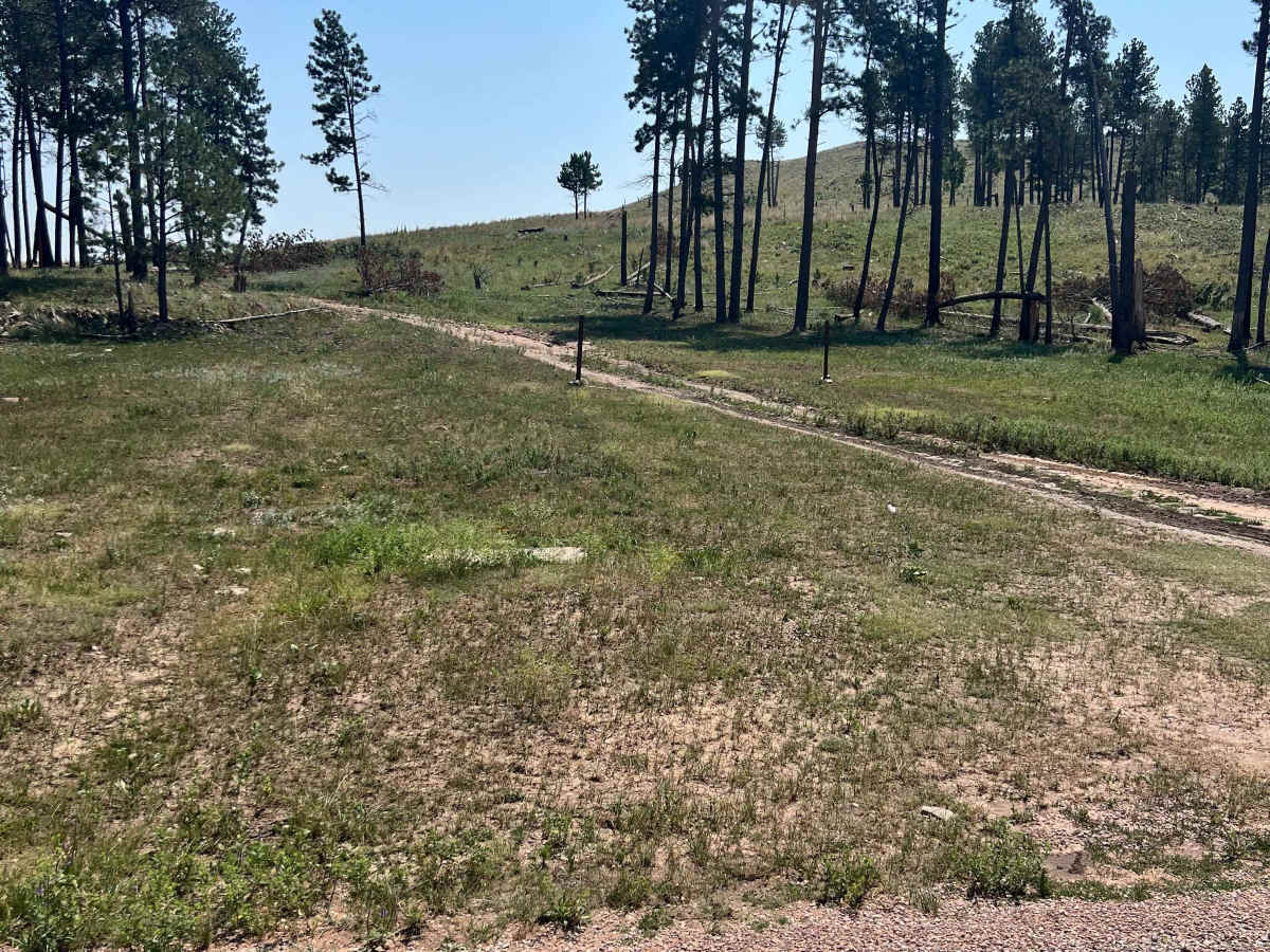
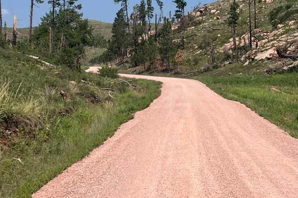
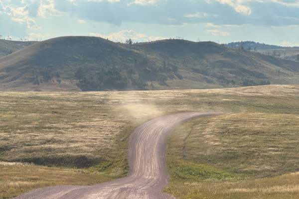
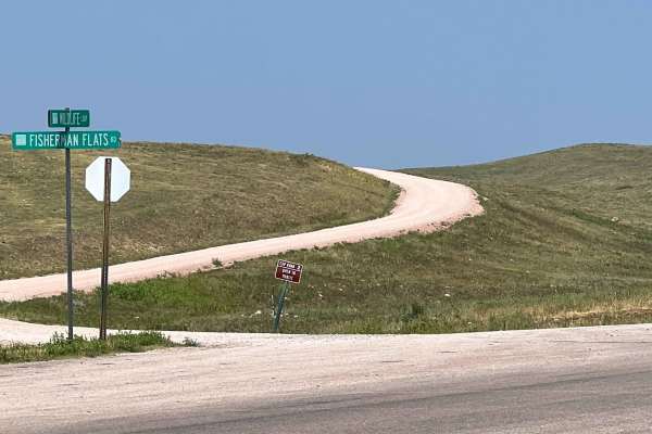
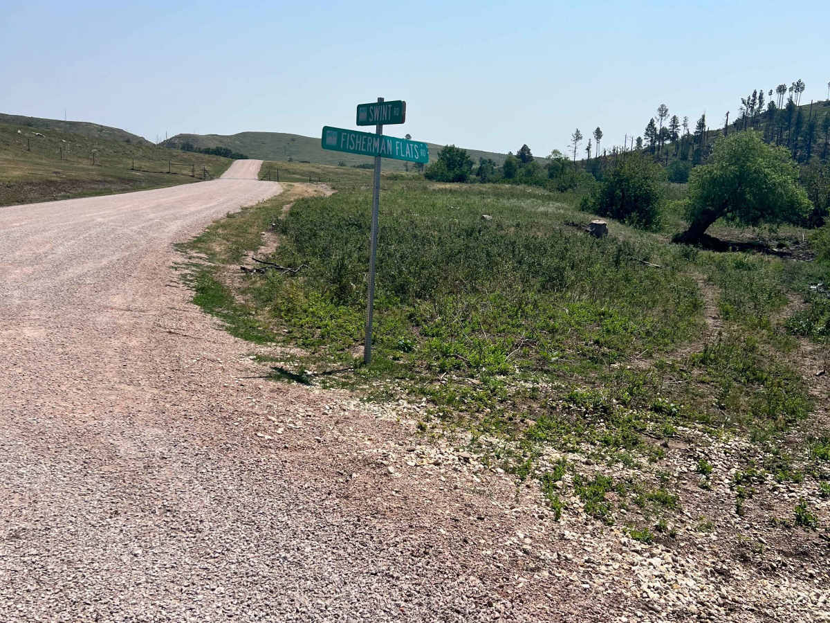
Swint Road, also known as Custer State Park Road 5, is a two-lane gravel road that connects Fisherman Flats Road (CSP 2) with North Lame Johnny Road (CSP 4). The route travels through rolling grasslands and scattered pine stands, offering an alternative to the busier sections of the Wildlife Loop. The road is well maintained and suitable for most vehicles, with views across the prairie and frequent opportunities to observe wildlife. Bison regularly graze throughout the area, and sightings of pronghorn, deer, and wild burros are also common. A Custer State Park pass is required to access this route.

Photos of Swint Road

Difficulty

Easy 2-lane, well-maintained road without obstacles.

Technical Rating

1

Swint Road Trail can be accessed by the following ride types:

  • Single Track
  • 50 Inch
  • 60 Inch
  • High Clearance
  • Full Width

Swint Road Map

The onX Offroad Difference

onX Offroad combines trail photos, descriptions, difficulty ratings, width restrictions, seasonality, and more in a user-friendly interface. Available on all devices, with offline access and full compatibility with CarPlay and Android Auto. Discover what you're missing today!

Open Trail Map