
Beginner Off-Road Trails
Near Bigler, Pennsylvania
Explore All Beginner Trails Near Bigler, Pennsylvania
Beginner Off-Road Trails Near Bigler, Pennsylvania
Discover the best beginner-friendly off-road trails near you. These easier, lower-rated trails are a great place to start — browse trail maps, check difficulty ratings, and find your next adventure.
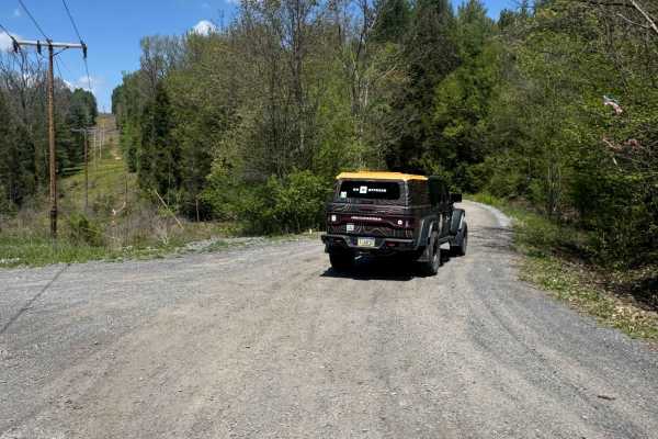
Burma Road
Burma Road is a 6.5-mile out-and-back gravel and dirt road. It is an easy ride in the summer months; however, there is no winter maintenance. During times of rain, snow, and ice, the road can become rutted and harder to travel on. Burma Road is between two areas of Moshannon State Forest. There are ...
Learn more about Burma Road
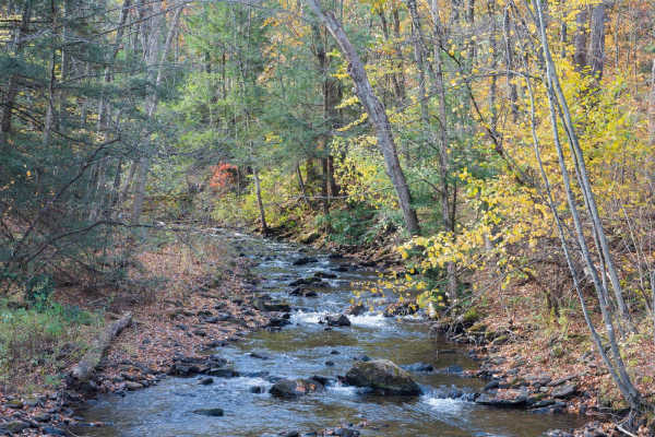
Six Mile Run Road
Six Mile Run Road is a well-maintained gravel trail in Moshannon State Forest. The trail follows Six Mile Run Creek through a forest of deciduous tees and abundant rhododendrons passing the sites of the historic Plumbe Forge and the Wolf Rocks Civilian Conservation Corps Camp. There are occasionally...
Learn more about Six Mile Run Road
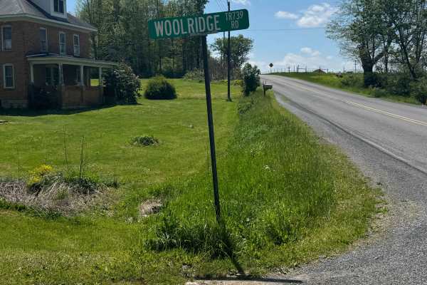
Woolridge Road
Woolridge Road is primarily a graded gravel road. It is an easy ride in the summer months; however, there is no winter maintenance. During times of rain, snow, and ice, the road can become rutted and harder to travel on. Woolridge Road is between two areas of Moshannon State Forest. There are numero...
Learn more about Woolridge Road
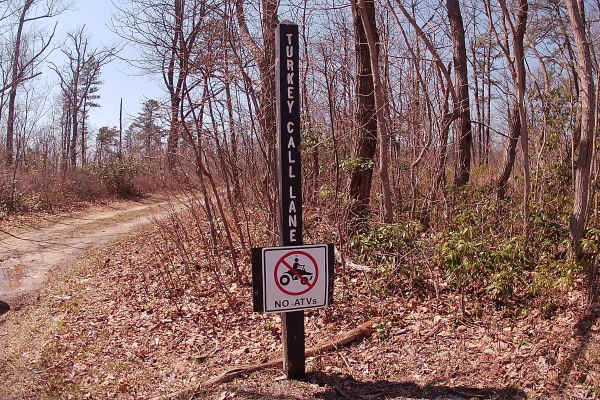
Turkey Call Lane
Turkey Call Lane is an out-and-back, typical graded dirt road within Moshannon State Forest. The trail has a small parking area at the beginning and at the end, which runs into a dead-end due to private property. The forest is filled with big timber with plenty of nutrition for local wildlife. The t...
Learn more about Turkey Call Lane
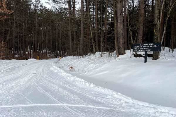
Shields Dam Road
Shields Dam Road is a seasonal access dead-end road. Typical open times are from approximately early October to Late January or Early February. Part of the trail is a beautiful drive along a creek, through a new growth forest. There is ample room to park or turn around at the end of the trail. Durin...
Learn more about Shields Dam Road
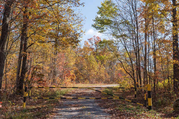
Hannah Furnace Road
Hannah Furnace Road is a well-maintained gravel trail in Moshannon State Forest. It serves as a main route through the forest providing access to additional drivable trails and gated trails which provide hunting access. There are occasionally areas to pull off the main trail near gated trailheads. T...
Learn more about Hannah Furnace Road

Corporation Dam Trail
This is a beautiful trail cut into the side of a mountain. This trail is narrow but well-shouldered. There is a beautiful flat spot at the bottom for fishing, lunch, or a hike. The confluence of Gifford Run and Mosquito Creek is right at the bottom. Quehanna Trail goes through this area and it's a f...
Learn more about Corporation Dam Trail
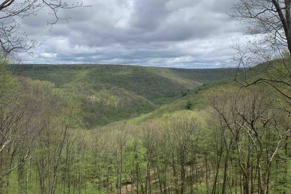
Lost Reactor Trail
This is an easy dirt and gravel road that offers scenic autumn views from an overlook that lets you see for miles. There is a river crossing in the bottom of the valley and the trail ends near the abandoned site of the Curtis Wright Nuclear Reactor that was used to test nuclear jet engines in the 19...
Learn more about Lost Reactor Trail
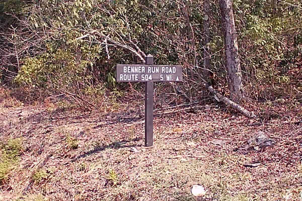
Huckleberry Road
Huckleberry Road begins off Benner Run Road; this section, mapped, joins the two main trails. The trail is a typical graded gravel road that is an in-and-out type of trail within the Moshannon State Forest. The beginning portions of Benner Run Road are a wonderful Scenic area with a small parking sp...
Learn more about Huckleberry Road
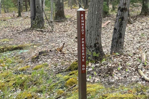
Kennedy Preserve Road
Kennedy Preserve Road is a 5.5-mile out-and-back graded gravel road. It is the southern road out of S.B. Elliot State Park. It is an easy ride in the summer months; however, there is no winter maintenance. During times of rain, snow, and ice, the road can become rutted and harder to travel on. Kenne...
Learn more about Kennedy Preserve Road
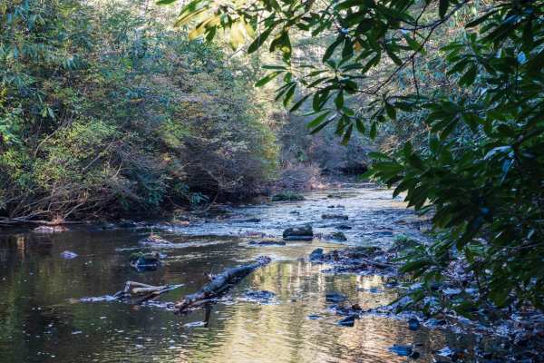
Benner Run Road
Benner Run Road is a well-maintained gravel trail in Moshannon State Forest. The trail starts in a picnic along Black Moshannon Lake in Black Moshannon State Park before passing into Moshannon State Forest. The trail follows Black Moshannon Creek for a few miles before turning away and gaining eleva...
Learn more about Benner Run Road
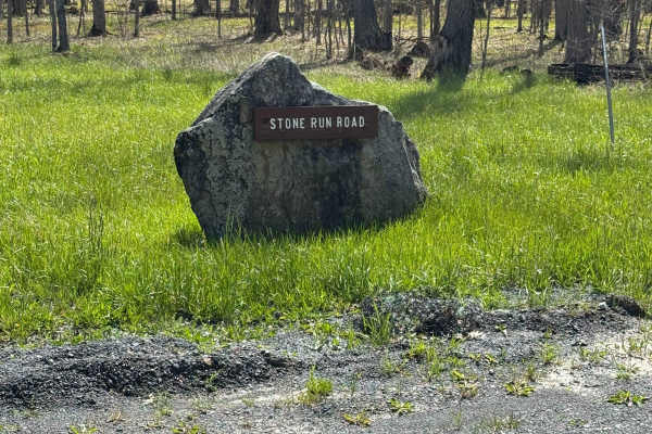
Stone Run Road
Stone Run Road is a 5-mile out-and-back graded gravel road. It is an easy ride in the summer months; however, there is no winter maintenance. During times of rain, snow, and ice, the road can become rutted and harder to travel on. Stone Run Road is within Moshannon State Forest. There are numerous s...
Learn more about Stone Run Road
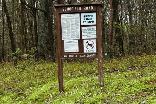
Schofield Road
Schofield Road is primarily a graded gravel road. It is an easy ride in the summer months; however, there is no winter maintenance. During times of rain, snow, and ice, the road can become rutted and harder to travel on. Schofield Road is within Moshannon State Forest. There are numerous spots to st...
Learn more about Schofield Road
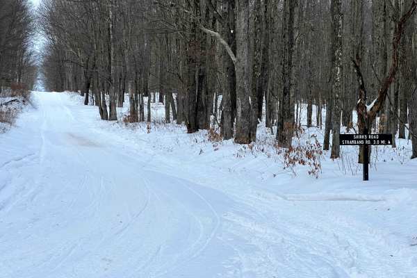
Shirks Road
Shirks Road is a well-maintained, wide gravel road serving as a connector between Clay Mine Road and Strawband Beaver Road. The majority of the road borders Black Moshannon State Park and touches the perimeter of Mid-State Regional Airport. There are plenty of opportunities to pass or pull over alon...
Learn more about Shirks Road
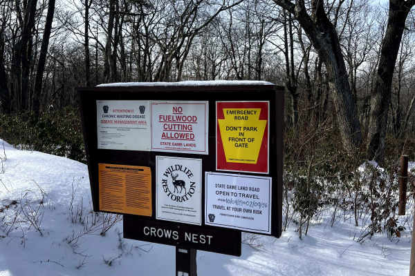
Crow's Nest
Crow's Nest is a seasonal access road, typically open between the beginning of October and Early February. The trail is generally smooth dirt, with potential for some mud puddles. There will be no winter maintenance. At the peak elevation, there is a beautiful view to the northwest, and a large clea...
Learn more about Crow's Nest
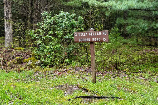
Kelly Cellar Road
Kelly Cellar Road is primarily a graded dirt road. It is an easy ride in the summer months; however, there is no winter maintenance. During times of rain, snow, and ice, the road can become rutted and harder to travel on. Kelly Cellar Road is within Moshannon State Forest. There are numerous spots t...
Learn more about Kelly Cellar Road
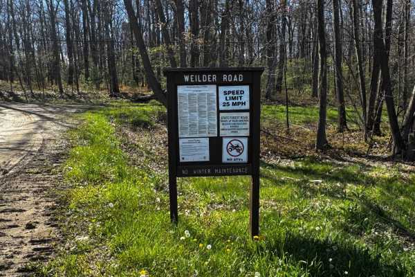
Weilder Road
Weilder Road is primarily a graded gravel road. It is a short connector trail between Pennsylvania State Route 153 and Schofield Road. It is an easy ride in the summer months; however, there is no winter maintenance. During times of rain, snow, and ice, the road can become rutted and harder to trave...
Learn more about Weilder Road
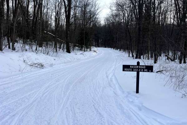
Nason Road
Nason Road is a well-maintained, wide gravel road serving as a connector between Strawband Beaver Road and Six Mile Run Rd. The road has plenty of opportunities to pass or pull over, and also provides access to Turkey Trail, a singletrack hiking trail. This road is accessible year-round, though wint...
Learn more about Nason Road
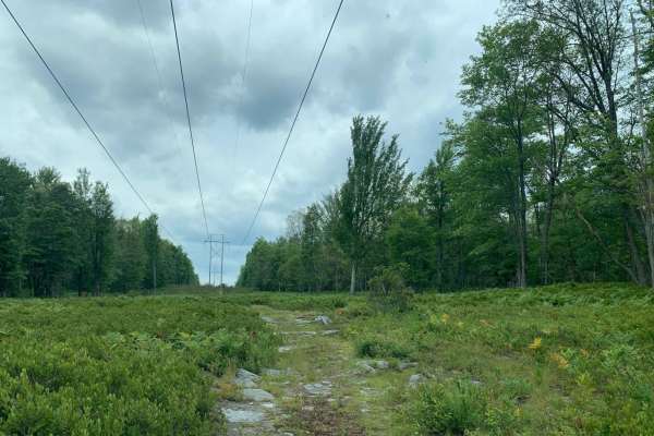
Wild Cat Rock Trail
Wild Cat Rock Trail is a short, rocky spur ideal for adventurous offroaders looking to explore a historical curiosity nestled deep within the Pennsylvania backcountry. Branching off Lost Run Road near the Lost Reactor Trail, this brief 0.38-mile in-and-out route carries a technical rating of 3 due t...
Learn more about Wild Cat Rock Trail
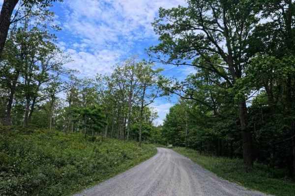
Huckleberry Road
This is a maintained gravel road taking you for an easy drive through Moshannon State Forest. Entering from the Casanova Road side will take you through the forest, passing a few pull-off areas and the Benner Run Vista overlook, eventually coming to a three-way intersection. From this intersection,...
Learn more about Huckleberry Road
Beginner ATV trails near Bigler, Pennsylvania
Explore ATV-friendly trails near you. These trails are accessible for vehicles up to 50 inches wide, perfect for ATVs and smaller off-road machines.
Huckleberry Road
This is a maintained gravel road taking you for an easy drive through Moshannon State Forest. Entering from the Casanova Road side will take you through the forest, passing a few pull-off areas and the Benner Run Vista overlook, eventually coming to a three-way intersection. From this intersection,...
Learn more about Huckleberry Road
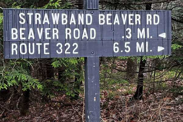
Strawband Beaver Road
This is a very well-maintained gravel, mostly one-car-width road through Moshannon State Forest. Along the route, you will find many different types of trees and wildlife. There are plenty of spots along the road to pull over. There is a lot of traffic during the hunting season.
Learn more about Strawband Beaver Road
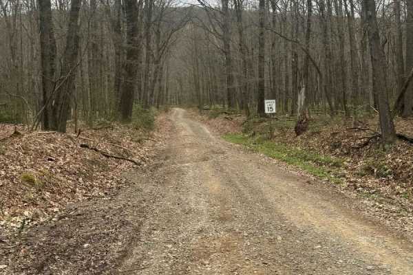
Bald Eagle Pike
This is a rocky dirt road up the mountainside. There are some small washed-out areas, but it can be easily navigated with a factory-height SUV. You'll get some great views down into the valley along with wildlife such as turkey and deer crossing the trail. It's single-lane with a few pull-off areas ...
Learn more about Bald Eagle Pike
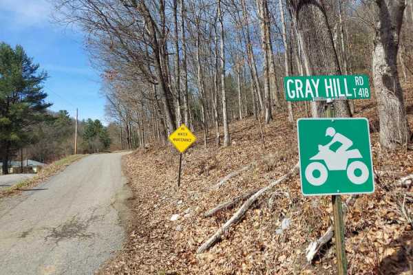
Gray Hill Road
Gray Hill Road is an ATV/SXS legal route that climbs high onto the hilltops through State Game Lands, offering unique views of the surrounding landscape. Much of this road follows a shelf-style layout, with a steep drop-off along one side. The elevation provides some truly spectacular views, especia...
Learn more about Gray Hill Road
Beginner UTV/side-by-side trails near Bigler, Pennsylvania
Find UTV and side-by-side trails near you. These trails accommodate vehicles up to 60 inches wide, ideal for UTVs, side-by-sides, and wider off-road rigs.
Strawband Beaver Road
This is a very well-maintained gravel, mostly one-car-width road through Moshannon State Forest. Along the route, you will find many different types of trees and wildlife. There are plenty of spots along the road to pull over. There is a lot of traffic during the hunting season.
Learn more about Strawband Beaver Road
Bald Eagle Pike
This is a rocky dirt road up the mountainside. There are some small washed-out areas, but it can be easily navigated with a factory-height SUV. You'll get some great views down into the valley along with wildlife such as turkey and deer crossing the trail. It's single-lane with a few pull-off areas ...
Learn more about Bald Eagle Pike
Gray Hill Road
Gray Hill Road is an ATV/SXS legal route that climbs high onto the hilltops through State Game Lands, offering unique views of the surrounding landscape. Much of this road follows a shelf-style layout, with a steep drop-off along one side. The elevation provides some truly spectacular views, especia...
Learn more about Gray Hill Road
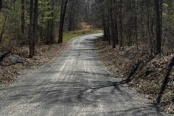
Hall Road
Hall Road is primarily a graded gravel road. It is an easy ride in the summer months; however, there is no winter maintenance. During times of rain, snow, and ice, the road can become rutted and harder to travel on. Hall Road is within Sproul State Forest. There are numerous spots to stop along this...
Learn more about Hall Road
The onX Offroad Difference
onX Offroad combines trail photos, descriptions, difficulty ratings, width restrictions, seasonality, and more in a user-friendly interface. Available on all devices, with offline access and full compatibility with CarPlay and Android Auto. Discover what you're missing today!
Open Trail Map