
Beginner Off-Road Trails
Near Bairoil, Wyoming
Explore All Beginner Trails Near Bairoil, Wyoming
Beginner Off-Road Trails Near Bairoil, Wyoming
Discover the best beginner-friendly off-road trails near you. These easier, lower-rated trails are a great place to start — browse trail maps, check difficulty ratings, and find your next adventure.
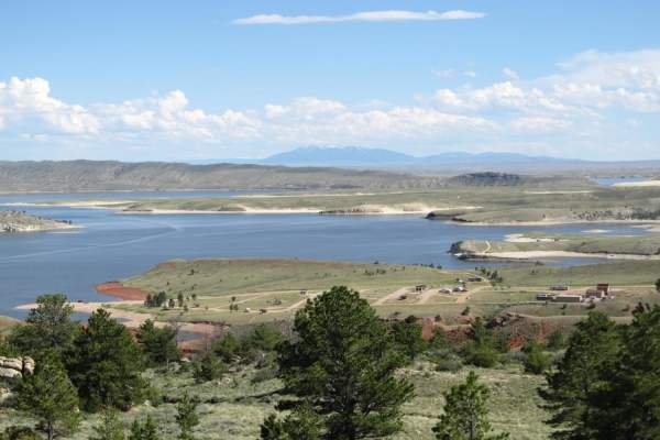
Seminoe-Alcova Backcountry Byway
One of Wyoming's designated scenic backways, this drive utilizes both paved and gravel roads to travel over the rugged Seminoe Mountains and past three reservoirs fed by the North Platte River. You'll discover the unsung mountain ranges of central Wyoming as well as some of the best fishing spots in...
Learn more about Seminoe-Alcova Backcountry Byway
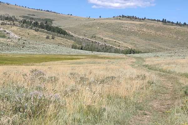
Stairway to Heaven
Stairway to Heaven goes from the south end of Red Canyon Road up onto Limestone Mountain. It's a fun climb, gaining over 1,500 feet in just under 4 miles. In some places, the trail is loose rock, and in other spots, it's dirt. You start in a grassy meadow, but before the top, you move through some t...
Learn more about Stairway to Heaven
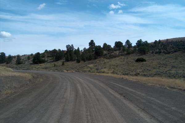
South Big Horn/Red Wall Scenic Backway
This designated Wyoming Scenic Backway makes a large semi-loop through the vastness of north-central Wyoming. It's a remarkable drive that crosses more than a hundred miles while catching the southern tail of the Bighorn Mountains. The lower elevations pass through oil patches before climbing higher...
Learn more about South Big Horn/Red Wall Scenic Backway
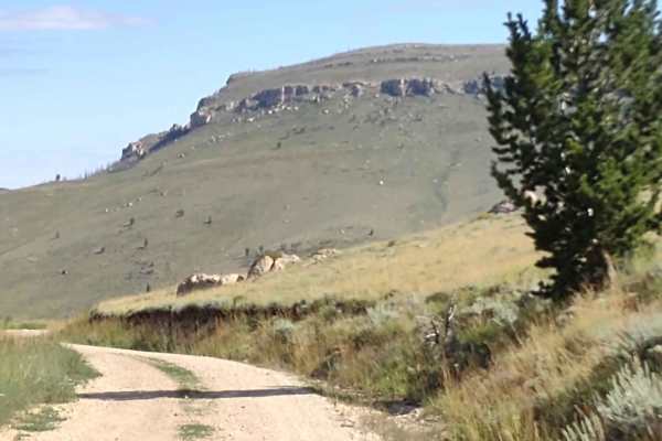
Limestone Mtn Rd (FS 326)
Limestone Mountain Road (a/k/a Ed Young Basin) runs from Hwy 28 near Atlantic City, Wyoming, up to the Indian Trail and beyond. Our track stops at the intersection with the Indian Trail. This is a well-maintained dirt road. I don't know if it's open year-round. You go up over the mountains at 8800 f...
Learn more about Limestone Mtn Rd (FS 326)
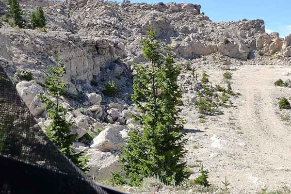
Limestone Trail (FS 327)
Limestone Trail runs north and south across the top of the mountain in the Shoshone National Forest and ends on the south end at Limestone Mountain, where there is a quarry. You drive across limestone rocks in the trail for most of it. In some places the rocks are embedded in the trail, in others th...
Learn more about Limestone Trail (FS 327)
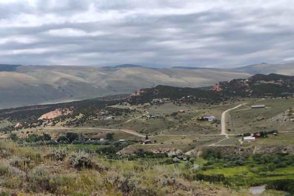
Ridge Runner Loop
Just south of the Red Canyon Rd exit on Hwy 28, there is a strip of BLM land between the highway and Red Canyon. This trail runs along the ridge, high above the highway, and then circles to the Red Canyon side. To complete the loop, you must go down through a wash (which was dry in August) and then ...
Learn more about Ridge Runner Loop
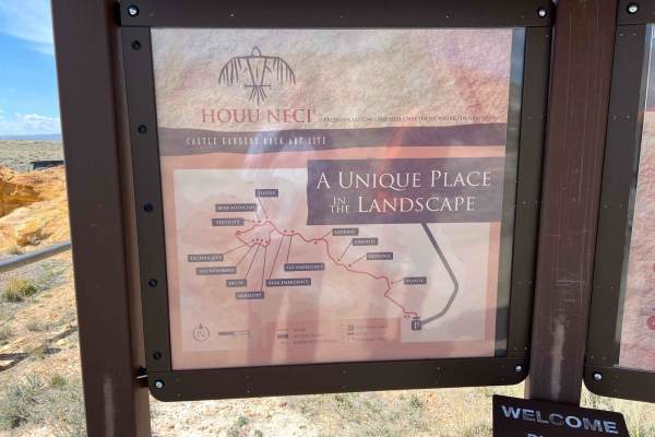
Castle Garden Road
Castle Garden Road is located just east of Moneta. Turn onto Castle Garden Road and continue until you see a sign to the left, and then it is five miles to the petroglyph site. You will not see the site until you travel down the hill and curve to the right. This is an in-and-out, driving time depend...
Learn more about Castle Garden Road
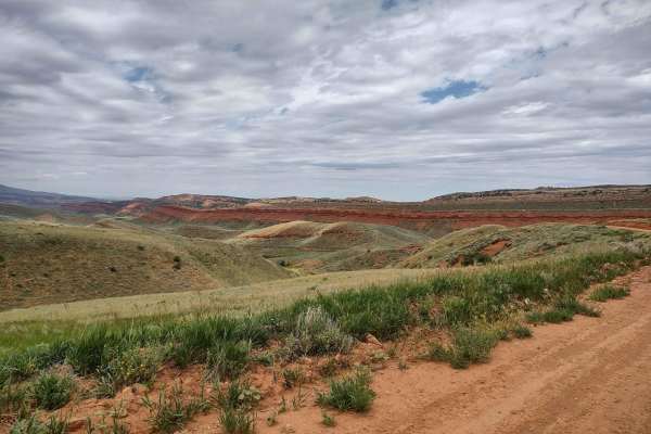
Red Canyon Road
Bypass the pavement and explore this beautiful canyon just west of Highway 28 south of Lander. High red rock cliffs run along the Little Popo Agie River. The canyon is filled with beautiful ranch property and a wildlife habitat management area. Even in mid-August, it is green and pretty. The north e...
Learn more about Red Canyon Road
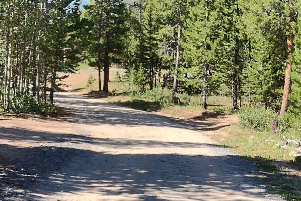
Beaver Creek 4WD (FS 366)
This trail connects Limestone Mountain Road at its east end with Little Rock Trail and Christina Lake Trail on its west end. There are amazing places to camp near the east end of this trail. You wind through the trees in places and cross sagebrush flats in others. The trail is rocky in several place...
Learn more about Beaver Creek 4WD (FS 366)
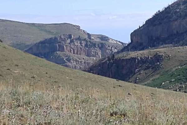
Indian 4WD Trail - FS 352
Indian 4WD Trail is a fantastic 11-mile trail that crosses two mountains, goes through the valleys and pines, goes across Pass Creek and the Little Popo Agie River, and ends at Frye Lake in the Shoshone National Forest. In some places, the trail has loose rocks, but they're navigable. The water cros...
Learn more about Indian 4WD Trail - FS 352
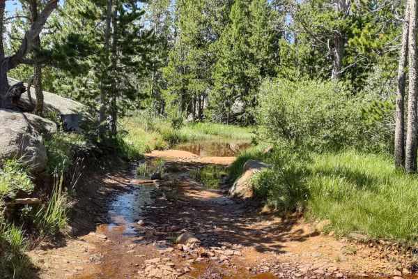
Little Rock (FS 368)
Little Rock is a two-track trail on the west end with the name "Little Rock" and number 368 on the Forest Service map. It begins at Louise Lake Road, and from there, the trail crosses the Shoshone National Forest in an easterly direction, and then it crosses some private property where access is gra...
Learn more about Little Rock (FS 368)
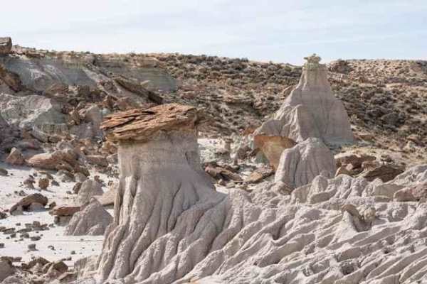
Adobe Town North Rim
This is a two-track trail passing through a variety of landscapes leading to Manuel Gap, a high point overlooking the Adobe Town basin and rock formations below. The trail begins in a wide-open plain covered with clusters of sage and yellow flowers in the spring. Wild horses are a frequent sight as ...
Learn more about Adobe Town North Rim
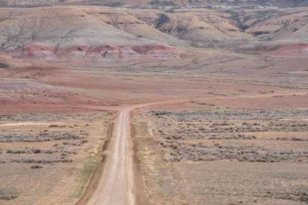
Overland Stage Route to Fort La Clede
This is a scenic desert drive between County Road 19 and Fort La Clede. The remains of the La Clede Stage Station are about a mile before the Fort. The Station and Fort were located along the Overland Trail; a stagecoach route operated in the mid-1800s. Ruins include a few remaining stone walls and ...
Learn more about Overland Stage Route to Fort La Clede
Beginner ATV trails near Bairoil, Wyoming
Explore ATV-friendly trails near you. These trails are accessible for vehicles up to 50 inches wide, perfect for ATVs and smaller off-road machines.
Seminoe-Alcova Backcountry Byway
One of Wyoming's designated scenic backways, this drive utilizes both paved and gravel roads to travel over the rugged Seminoe Mountains and past three reservoirs fed by the North Platte River. You'll discover the unsung mountain ranges of central Wyoming as well as some of the best fishing spots in...
Learn more about Seminoe-Alcova Backcountry Byway
Stairway to Heaven
Stairway to Heaven goes from the south end of Red Canyon Road up onto Limestone Mountain. It's a fun climb, gaining over 1,500 feet in just under 4 miles. In some places, the trail is loose rock, and in other spots, it's dirt. You start in a grassy meadow, but before the top, you move through some t...
Learn more about Stairway to Heaven
South Big Horn/Red Wall Scenic Backway
This designated Wyoming Scenic Backway makes a large semi-loop through the vastness of north-central Wyoming. It's a remarkable drive that crosses more than a hundred miles while catching the southern tail of the Bighorn Mountains. The lower elevations pass through oil patches before climbing higher...
Learn more about South Big Horn/Red Wall Scenic Backway
Limestone Mtn Rd (FS 326)
Limestone Mountain Road (a/k/a Ed Young Basin) runs from Hwy 28 near Atlantic City, Wyoming, up to the Indian Trail and beyond. Our track stops at the intersection with the Indian Trail. This is a well-maintained dirt road. I don't know if it's open year-round. You go up over the mountains at 8800 f...
Learn more about Limestone Mtn Rd (FS 326)
Beginner UTV/side-by-side trails near Bairoil, Wyoming
Find UTV and side-by-side trails near you. These trails accommodate vehicles up to 60 inches wide, ideal for UTVs, side-by-sides, and wider off-road rigs.
Seminoe-Alcova Backcountry Byway
One of Wyoming's designated scenic backways, this drive utilizes both paved and gravel roads to travel over the rugged Seminoe Mountains and past three reservoirs fed by the North Platte River. You'll discover the unsung mountain ranges of central Wyoming as well as some of the best fishing spots in...
Learn more about Seminoe-Alcova Backcountry Byway
Stairway to Heaven
Stairway to Heaven goes from the south end of Red Canyon Road up onto Limestone Mountain. It's a fun climb, gaining over 1,500 feet in just under 4 miles. In some places, the trail is loose rock, and in other spots, it's dirt. You start in a grassy meadow, but before the top, you move through some t...
Learn more about Stairway to Heaven
South Big Horn/Red Wall Scenic Backway
This designated Wyoming Scenic Backway makes a large semi-loop through the vastness of north-central Wyoming. It's a remarkable drive that crosses more than a hundred miles while catching the southern tail of the Bighorn Mountains. The lower elevations pass through oil patches before climbing higher...
Learn more about South Big Horn/Red Wall Scenic Backway
Limestone Mtn Rd (FS 326)
Limestone Mountain Road (a/k/a Ed Young Basin) runs from Hwy 28 near Atlantic City, Wyoming, up to the Indian Trail and beyond. Our track stops at the intersection with the Indian Trail. This is a well-maintained dirt road. I don't know if it's open year-round. You go up over the mountains at 8800 f...
Learn more about Limestone Mtn Rd (FS 326)
The onX Offroad Difference
onX Offroad combines trail photos, descriptions, difficulty ratings, width restrictions, seasonality, and more in a user-friendly interface. Available on all devices, with offline access and full compatibility with CarPlay and Android Auto. Discover what you're missing today!
Open Trail Map