Onboarding
Welcome, We’re Glad You’re Here.
At onX, we want to awaken the adventurer in everyone. Whether by four-wheel drives, bikes, motorcycles, or our own two feet, we live to experience the wild places our planet has to offer—and it’s our goal to empower others to do the same. That’s why we’re constantly working to not only enhance our apps, but preserve the lands they help us explore.
Unfortunately, access to those lands is becoming more restricted each year, which is why we’re partnering with the Cal4Wheel Foundation to help document our trails, and fund their maintenance and protection.
onX Offroad Overview
onX is a navigation app designed and built here in the USA. We’re available on phones, tablets, and computers, and help our fellow enthusiasts to:
- Discover new trails that are safe and legal to drive
- Differentiate public and private lands for exploring and camping
- Stay informed without cell service through offline maps
- Plan trips with customizable waypoints and routes
- Track and share your adventures with others
Inside our app you’ll find:
- 600,000+ miles of trails
- 60,000 miles of guidebook trails
- 985 million acres of public land
- United State’s Largest private lands database
- MVUM, campsites, rec-points, trailheads, live weather and forecasts, wildfire updates, and so much more baked right into our three base map modes
- A customer support team based right in our home office of Missoula, Montana.
Trail Mapping
Why we’re mapping
California has some of North America’s best four-wheel drive trails, but each year we lose more and more of them to closure. Surprisingly, the majority of these closures don’t occur because we’re using trails too much, but rather too little.
Agencies and advocacy groups claim people don’t need or care about these lesser-known routes. They label them as “reclaiming,” and we lose access to them forever. That is why we must prove people do care about these trails by adding them to the map with photos, descriptions, and difficulty ratings. By doing so, we showcase that people are indeed out using these tracks, and we can generate interest and care for these remote places. As an added bonus, this also disperses traffic from the most popular and over-utilized trails, reducing the chance of their closure as well.
This is why we’re empowering all Cal4Wheel clubs to act as Admins for their local trail networks, giving you the tools to update existing trails on the map, add new trails we’re missing, and remove closed or illegal tracks. By working together, we can help keep these trails open for future generations to explore.

Mapping Rewards
- Free onX Offroad Elite memberships for Club Mapper, President, and Vice President
- Industry pro-deals and discounts on over 150 brands plus onX merchandise
- Cash rewards for mapping new trails and updating approved existing trails
- Access to exclusive planning tools, special features, and masterclasses
- Early Beta access to new product updates and app features
- Club name posted to local trails you’re helping to support
- Access to our dedicated team for questions and planning advice
How to Get Started
Follow the steps below, then watch the video walk-through linked HERE to submit your first trail.
Step 1
Establish your club in the partnership program by having your President or VP login to the Cal4 Portal and designate a Club Mapper in your official club roster. This will trigger an email with Cal4Wheel to start the process!
If you need assistance, just reach out to:
willitsjeeper@gmail.com and christopher.cordes@onxmaps.com
Step 2
Confirm the three account emails you’d like to use for your free onX Offroad accounts.
We recommend setting up the Club Mapper account with a new designated email in this format. YourClubNameMapper@gmail.com. This allows us to always retain a single account, which can be transferred to new mappers if needed.
Step 3
Check the map! Evaluate the trails in your area to see what’s missing, what is correct, and what needs to be updated with new difficulty ratings, closure dates, etc.
Step 4
Make a plan! Decide what trail you want to record. Then, take a drive and capture a minimum of five quality photos along the way. You can record multiple trails in a day, just make sure you follow the guidelines laid out below.
Step 5
When you get home, log onto your computer and login to our web map. Click the Contributor Portal tab on the left side of the screen and follow the prompts to submit your description, photos, and track file. Be sure to put your club name under the “submitted by” section to get the recognition you deserve!
Step 6
Sit back and relax! Your trail is on its way to our geospatial team, who will review it and get back to you if any more detail is needed. Once complete, we will publish the trail to the map.
Guidelines
Featured trails should be special, exciting, and inspirational. They are tracks you would be stoked to share with your friends, and worthy of making a plan to go run on a weekend. While these trails can come in all shapes and sizes, we’ve laid out a full-length and cliff note set of guidelines below.
- Try to ensure the length of the trail is at least five miles unless:
- It has intense difficulty or challenges. These trails can often be shorter by nature.
- The trail leads to unique points of interest like historical sites, waterfalls, etc
- It’s a documented and well-known short trail
- If any of the above are true, please provide a comment to the onX staff indicating the reason for the short trail.
- Is your favorite area a large network of trails? Instead of submitting one large track spanning multiple trails, break it up into smaller segments and submit each one separately.
- Does your track have pavement? Check the following conditions before submitting:
- We will not accept trails with over 10% of the trail being pavement.
- Pavement at the beginning or end of the trail should be trimmed off before submission.
- If pavement is unavoidable to complete the trail, please provide a comment to the onX staff indicating the existence of the paved portion and why it has been included.
- You can also break up the trail into Part 1 and Part 2 to exclude any paved sections.
- Does an existing blue trail need to be updated? Let us know and we can approve you to perform an update!
- What we don’t want:
- Tracks containing only a pullout, parking lot, campsite. We welcome these to be included in the description of a larger trail.
- Large loops comprised of multiple trails.
- Submissions overlapping existing blue trails, unless that trail needs updating.
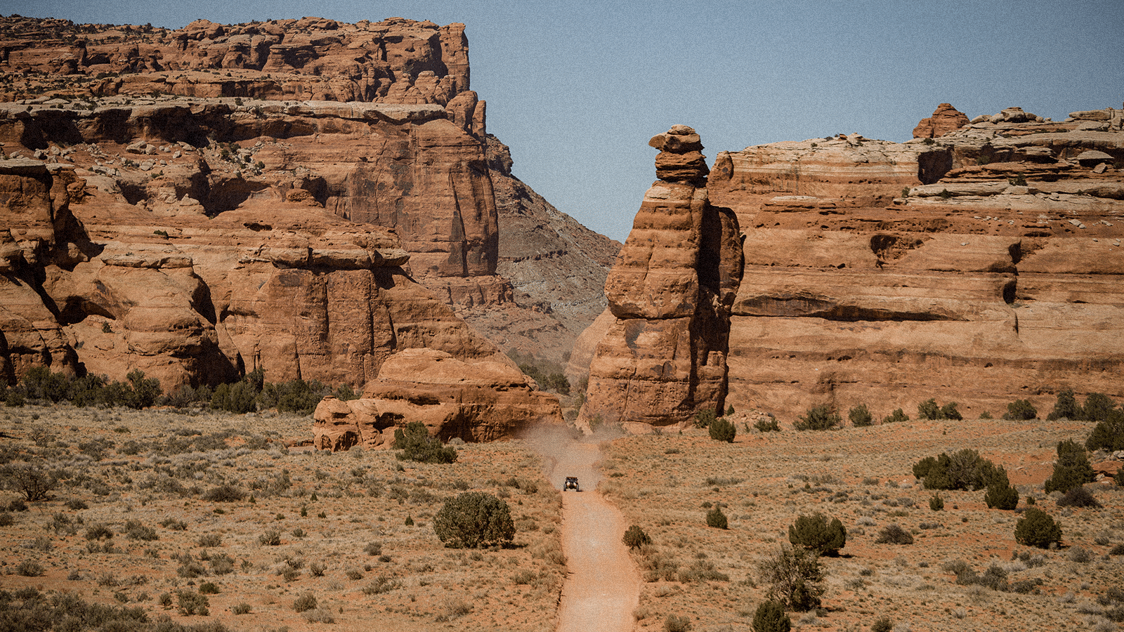
Photo Requirements
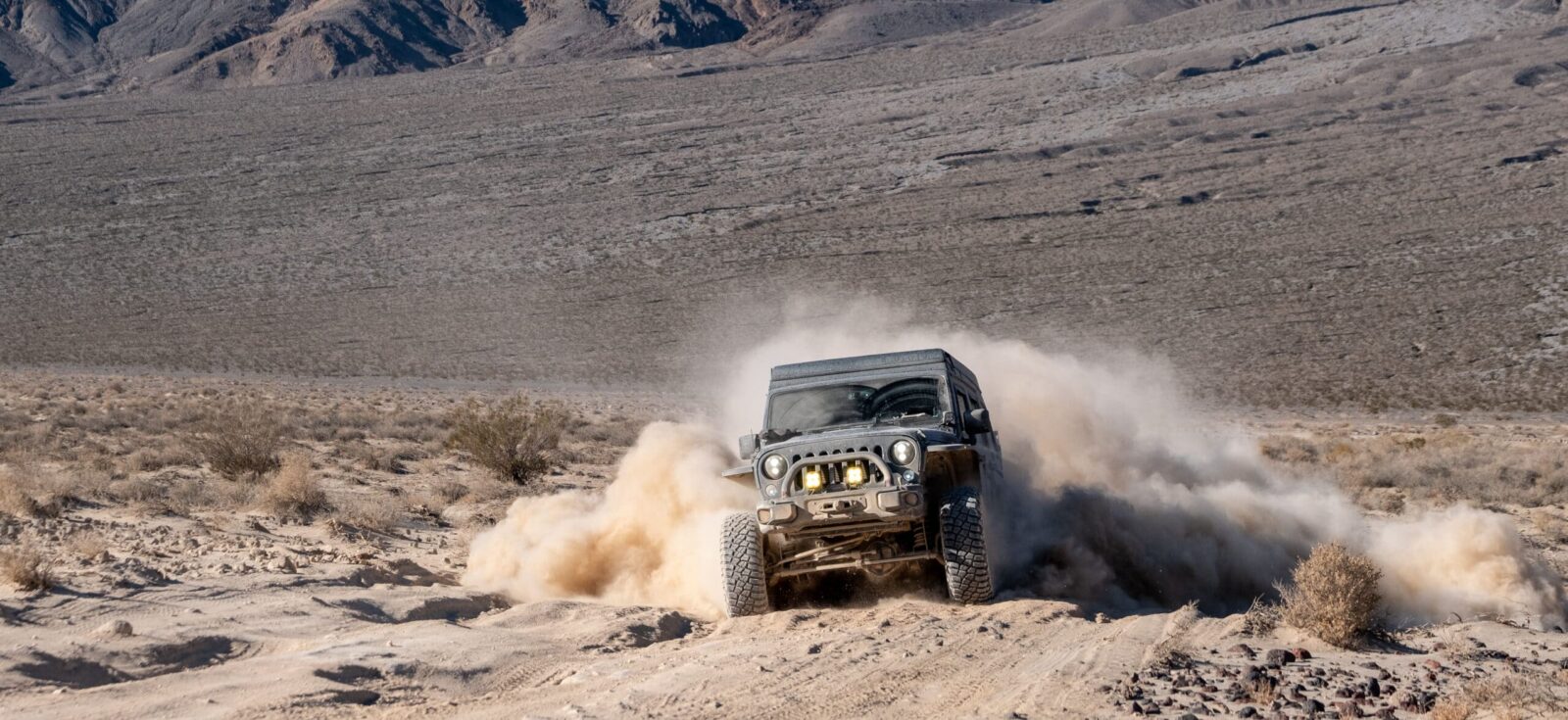
What we want
Well framed pictures that show effort/care was taken to capture the scene. Contents should be of the trail, difficult obstacles, good views, points of interest and anything users should be aware of, like a water crossing. We want photos that define the experience and show some variety.
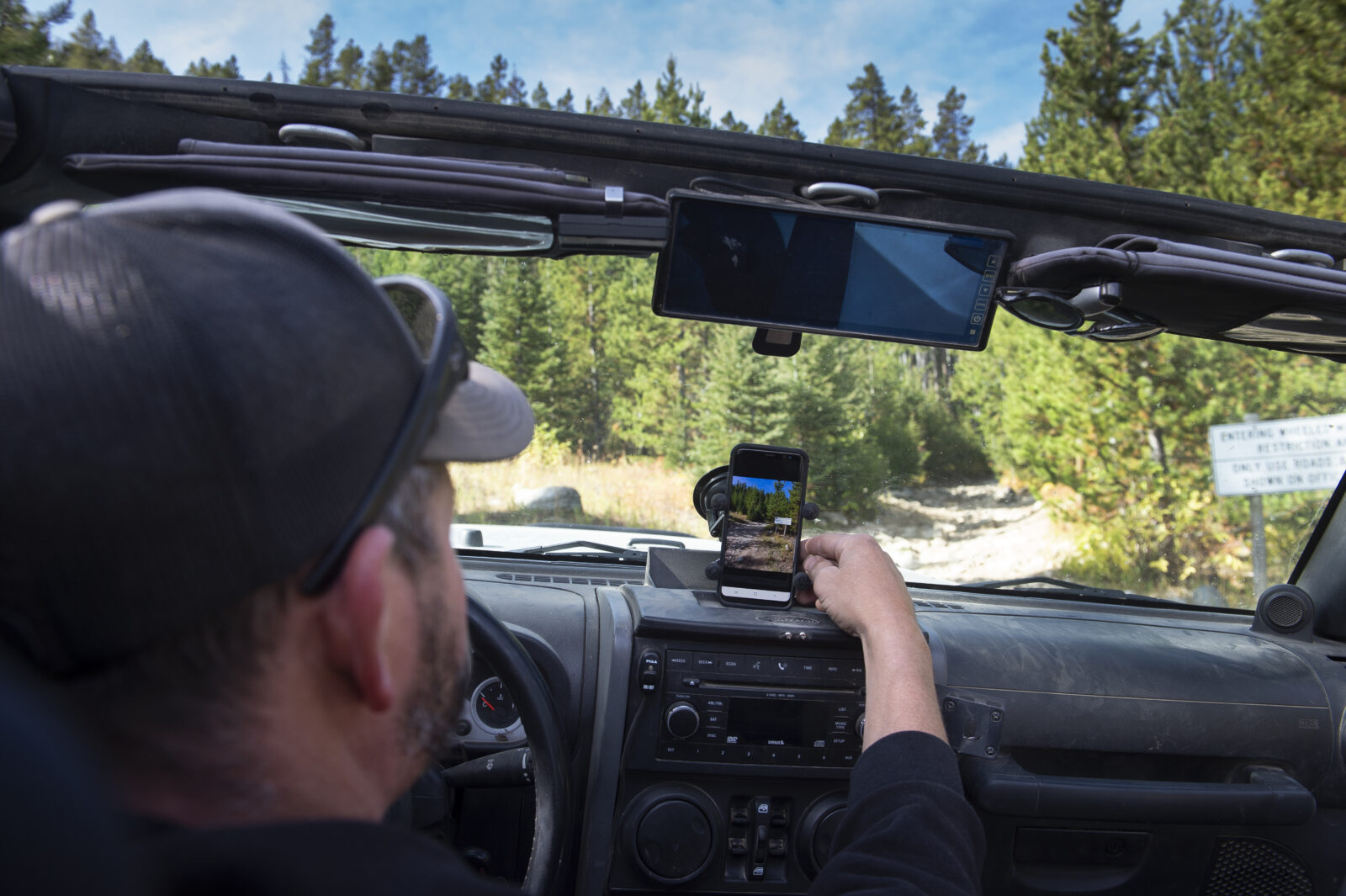
What we don’t want
Photos that depict little effort was expended, ie, pictures taken from inside the vehicle, behind the windshield, with a mirror in them etc. Shaky, out of focus, and duplicate images won’t be accepted. Please limit pictures of your vehicle to 50% or less, and avoid selfies.
Revenue Sharing

Funding the Cal4Wheel Foundation
One of our primary objectives is to preserve access to trails through maintenance, stewardship, and awareness, and there are few better partners for that than the Cal4Wheel Foundation. That’s why we have worked hard to find ways to provide them with funding outside our normal grant channels that can be scaled up to larger dollar amounts. What we have come up with is a system of revenue sharing that provides value to both enthusiasts and the foundation.
How it works
onX Offroad has set up a revenue-sharing partnership where ANYONE who uses the code Cal4Wheel will receive 20% off the purchase price of the product, PLUS, onX will donate an additional 20% to the Cal4Wheel Foundation. This gives people an incentive to use the code to save money, while also doing good for the California trails they love to explore.
The 20% donated is set aside into a new account called the onX Offroad Trails For Tomorrow fund. This fund is controlled entirely by the Cal4Wheel Foundation and used exclusively for trail maintenance, stewardship, and issues directly related to trail access.
How you can help
The more people who purchase onX using the code Cal4Wheel, the more money goes back to the Cal4Wheel Foundation. That means we need your help spreading the word and encouraging people to check it out.
Share the code with friends, post it on social, hand out cards on the trail, whatever you want to do to spread the word helps send money back to the Foundation.
We’ve created business-sized cards with QR codes and the Cal4wheel code on them. This makes it easy to keep a few in your vehicle or your wallet and hand them out to people you meet. If you’d like some, please reach out to christopher.cordes@onxmaps.com, and I would be happy to help.
Events with onX Offroad
Off-roading is about community, and onX is making it easier than ever to bring that community together. Our in-depth trail, land, and weather data combined with route planning and folder-sharing functions are powerful tools for event organizers to keep attendees informed and engaged every step of the way.
See It in Action With WLF Enduro
How it works
- Contact our team and let let us know you plan to run an event with onX Offroad
- We will provide extended 30-day elite trials to all Cal4Wheel event attendees and staff for free. This allows everyone to use the same system for the event even if they don’t choose to purchase afterward.
- Event organizers create a folder for the event and then create the tracks for each trail run, waypoints for things like lunch stops, aid stations, meeting locations, obstacles, campsites, and more.
- These “markups” as we call them, can also be named, color-coded, and styled with different icons to differentiate them. You can even add notes and photos to each to provide further depth to attendees.
- Once your folder or information for the event is complete, organizers can it with all attendees via email. This should be done no more than 30 days prior to the last day of the event in order to allow the extended trial to last through the duration of the gathering.
If you’re interested in using onX Offroad for your next event, email us at christopher.cordes@onxmaps.com for a guided walk-through and Q+A session.