


Learn
The Wild Turkey Nest: Habitat, Timing, and Survival Explained
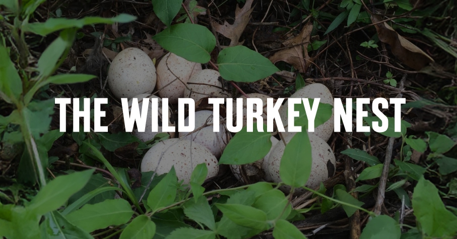
Nesting success is narrow and heavily influenced by habitat constraints. Without a common understanding of this critical life cycle of the wild turkey, our conservation efforts may fall short of their intended purpose.