
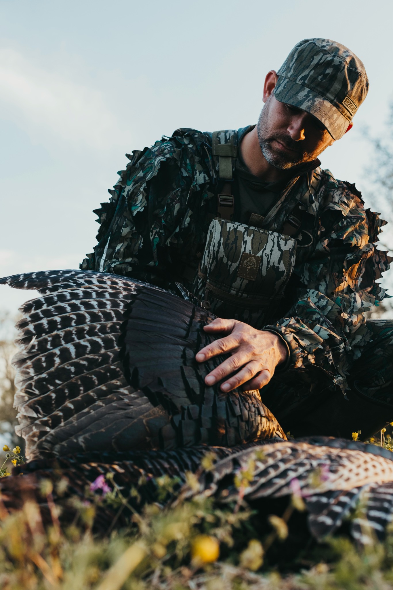
The #1 Tool for Turkey Hunters
Turkey season brings us together, and we live for the morning diner meetups, the debrief calls to grandpa, and the skipped heartbeats from thundering gobbles.
![]()
Trusted by Turkey Hunters across the country

Dave Owens
Pinhoti Project
“With onX Hunt, the difference between foreign and familiar ground rests in the palm of your hand, and there is no greater advantage when hunting spring turkeys.”
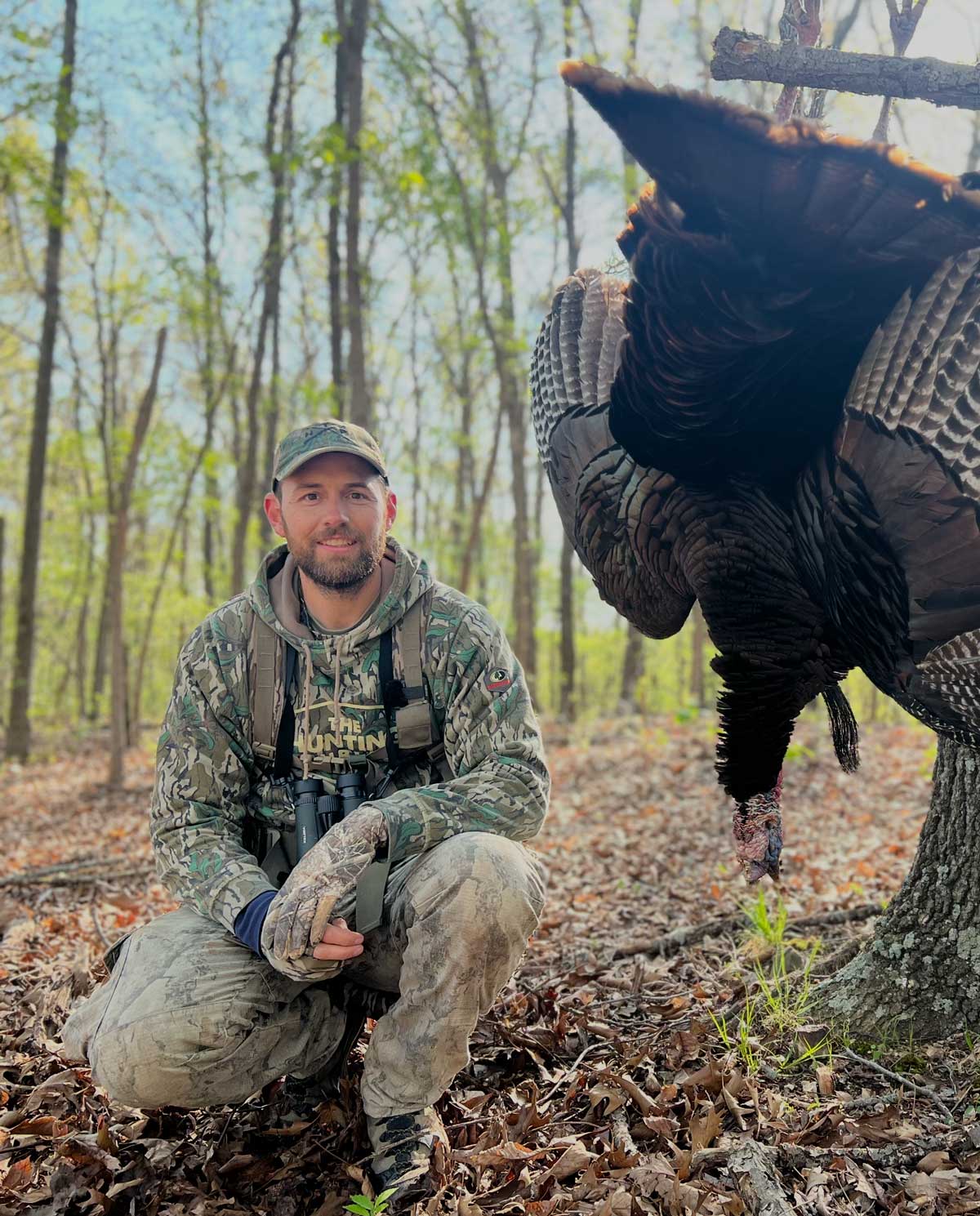

Aaron Warbritton
The Hunting Public
“We’re dropping turkey Waypoints all year round, not just in spring. It’s anytime we find turkey sign and see or hear a turkey.”

Cuz Strickland
Mossy Oak
“Using the Line Distance Tool in the Leaf Off Basemap is priceless for me. Knowing the exact distance to roost trees, creeks, and other terrain features is a game changer.”
![]()
Compass Mode
A gobble isn’t just a sound, it’s intel. Compass Mode helps you pinpoint and range a tom when he sounds off, while your map lets you assess the terrain and plan your next move to close the distance.
![]()
3D Maps
Imagine How Your Morning Might Unfold
There’s something about looking at the map the night before and visualizing the terrain that’s going to define tomorrow. Pull up a ridge in 3D, slide around the valleys, and talk through the game plan with your dad like you’ve both done for years.
![]()
Leaf Off Imagery
Habitat Diversity Is a Turkey Magnet
When the leaves are removed, the truth of the land is revealed. Leaf-Off Imagery lets you see the structure and layout of your woods so you can easily identify changes in habitat types, precisely the areas that turkeys instinctively want to be.

Lidar
Terrain Shapes the Hunt
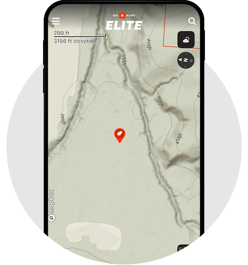
Every turkey hunter knows the big features like ridges, draws, and benches. But it’s the tiny folds and quiet dips that decide whether you close the distance or push too far. Lidar reveals those hidden contours before you ever lace your boots.
![]()
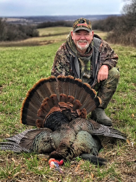
Turn Moments into Memories
Spring mornings are best shared. Whether it’s your first bird with your dad, a run-and-gun mission with buddies, or cruising backroads looking for a strutter, turkey season builds stories worth retelling. It’s not about inches of beard or spur, it’s about that look you exchange when a gobble cuts the dawn silence, and we’ve built a tool to help you find more of those.

Measure the Moment Before It Happens
Throughout a turkey hunt, questions that start with ‘how far’ abound. How far was that gobble, that creek, the truck. With Two-Finger Line Distance, you’re not just measuring yards. You’re answering the questions that sharpen instincts.
Is that gobbler close enough for a soft yelp? Can you slip the edge of that timber before fly-down? It’s a simple gesture, just two fingers on the map, but it turns uncertainty into confidence—the kind that lets you focus less on uncertainty and more on the people beside you, the plan you built together, and the morning unfolding ahead.
The Hunt is Better When Shared
Spring turkey season has always had a way of pulling people together—the early mornings, dewy walks, and quiet plans made over coffee at the table. With onX Hunt’s Sharing, those moments don’t stop when you head out the door. Drop a Waypoint for the ridge your grandpa always liked to listen from. Share a roost location with your hunting buddy on a morning you can’t get to the woods.
It’s how a solo plan becomes a shared experience, built together before the first gobble ever breaks the silence. Because the stories you tell after the season aren’t just about the bird. They’re about who was part of the plan and how it came together.

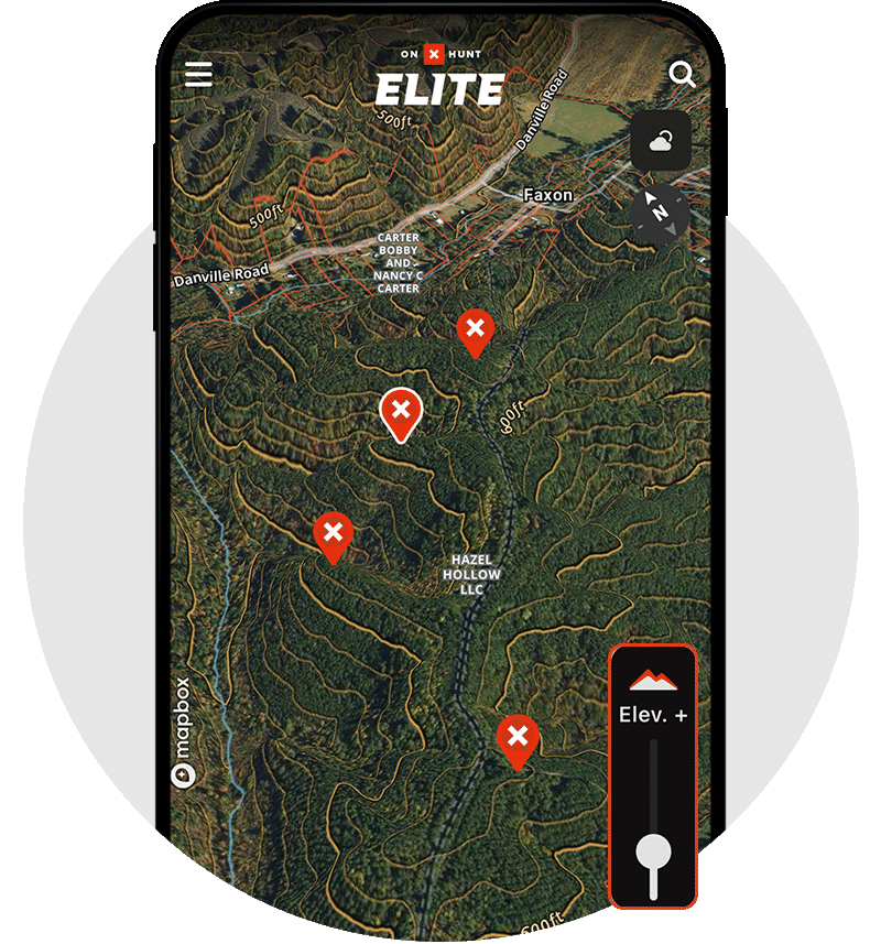
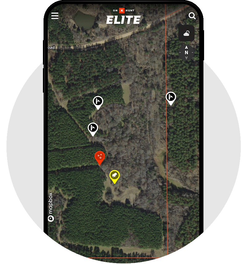
Mark the Moments That Matter
There are spots that stick with you, like the ridge where you first heard him gobble, the setup that finally worked, and the place where plans turned into memories. Waypoints let you hold onto those moments—not just where something happened, but why it mattered.
A roosted gobbler marked after a long evening listen. A setup saved so you can talk it through later at camp. Notes left behind for the next hunt, the next season, or the next person sitting at the same table.

Hunt the Conditions
Every spring morning presents new conditions. Weather shapes how turkeys move, how often they talk, and how the morning unfolds. Knowing what the day or week’s forecast holds helps you decide whether to lean against a tree and wait or slip down a ridge and be aggressive.
It’s the difference between guessing and understanding, between hoping and being prepared. And when you get it right, it feels less like luck and more like paying attention.
onX Hunt Membership Levels
Hunt close to home or roam across all 50 states, there’s an onX Hunt membership perfect for you.