#1 Hunting GPS App for iPhone
Featuring public and private landowner data, wind and weather forecasts, custom Waypoints and more starting at $34.99 / year.
Featuring public and private landowner data, wind and weather forecasts, custom Waypoints and more starting at $34.99 / year.
Made by Hunters for Hunters
onX Hunt is the #1-rated hunting app for the iPhone and iPad. Created by hunter Eric Siegfried in 2007, onX Hunt has helped thousands of hunters across the country navigate challenging landscapes with 985 million acres of public land, 9,568 unique hunting units and 421 map overlays and counting. Over 15,000 reviews with an average 4.7 star rating in the App Store. Get a free 7-day trial now. >>


Weather Forecasts at Your Fingertips
Once one of the most requested features, onX Hunt Wind & Weather now outfits you with live weather reports and forecasts, wind direction and speeds, sunrise / sunset times and more. Tap on any NOAA weather station in the App to see the latest temperature and wind details near you. All critical weather information is quickly accessible in one place with our hunting wind and weather app.
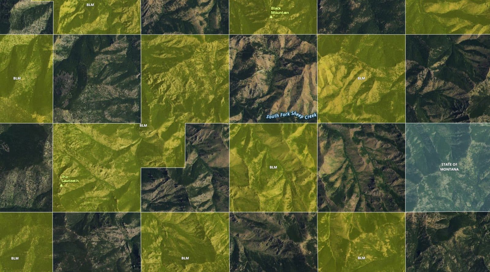
Combined Aerial Imagery and Topo Lines
Get a clear understanding of your surroundings using the Aerial and Topographic Basemaps in onX Hunt. With 24K maps, you can identify terrain features and calculate elevation changes. Combined with satellite imagery, you get the most comprehensive view of the land to make informed decisions when navigating in the field or scouting from home.
Start Mapping Today
Find the best public hunting land in the Midwest using onX maps. With offline maps, custom waypoints and combined aerial and topo maps, onX Hunt is the #1 app for hunters.
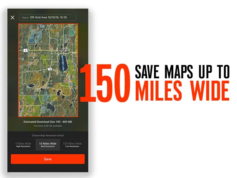
No Network, No Problem
onX Hunt’s hunting maps can be accessed even when your iPhone doesn’t have a cell signal. Simply tap the Offline Maps button from the main screen to download and save a map for later access. You can view areas as large as 150 miles wide with low resolution or as small as five miles wide with high resolution and detail.
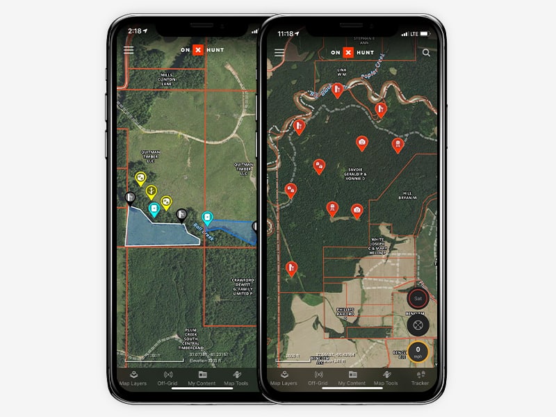
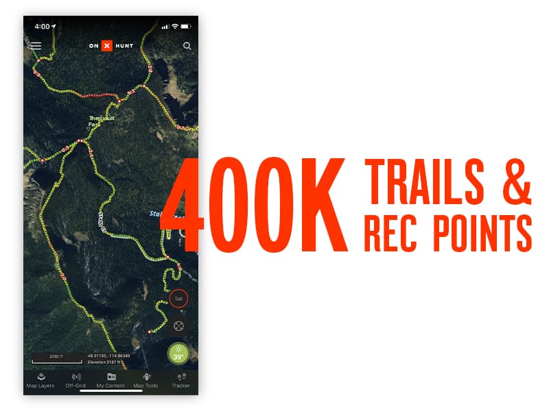
Customizable and Shareable Waypoints
Drop Waypoints while you’re on the hunt to save favorite spots and directions back to them. With onX Hunt Waypoints, you can select specific colors or icons to customize maps for various uses, such as setting AM and PM whitetail deer stands or marking preferred camping and glassing spots. Share your exact position when you invite family and friends to join you.